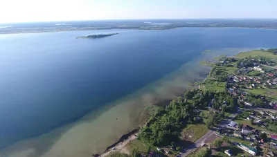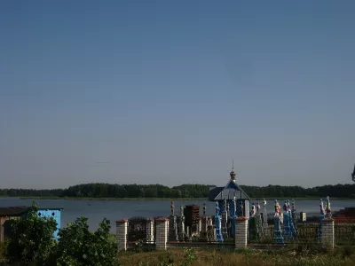
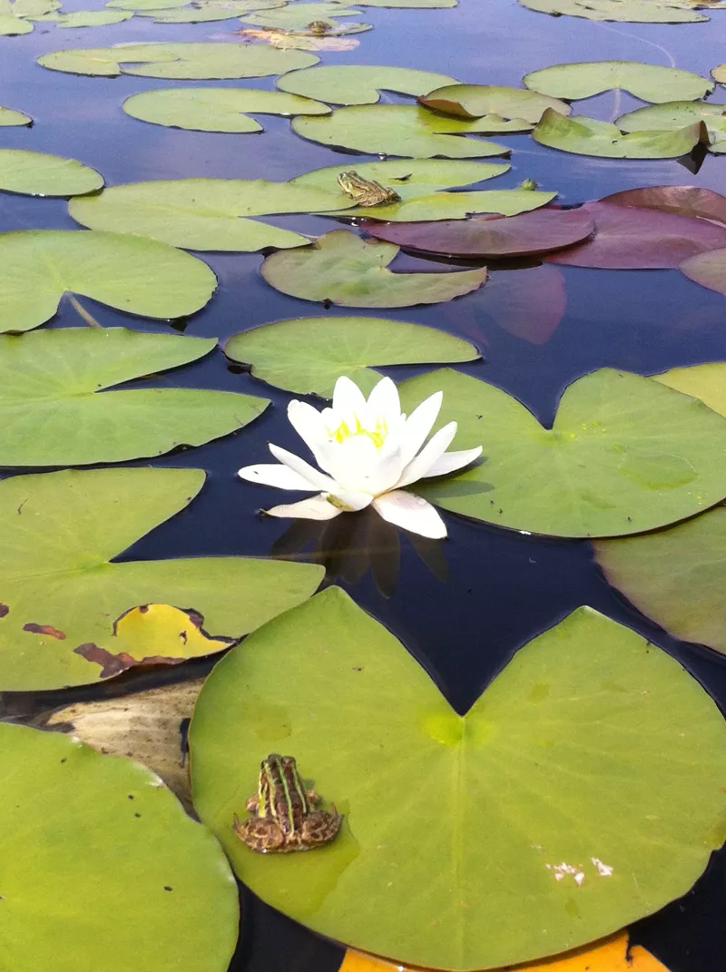

Rytets is a small karst lake northeast of the village of Koshary within the Shatsk National Nature Park. Its area is just over four hectares, yet there are as many stories about it as if it were a large lake: about the unusual "floating" bottom, the canal to the West Bug, and a lady who wanted to drain Lake Pulemetske.
What it is like
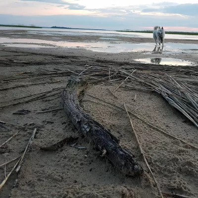
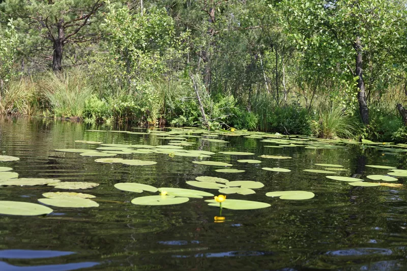
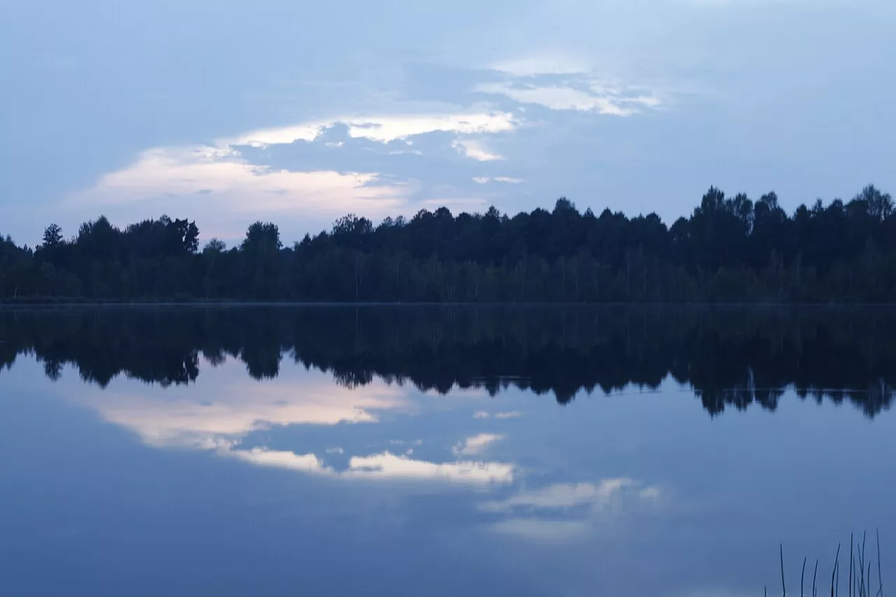
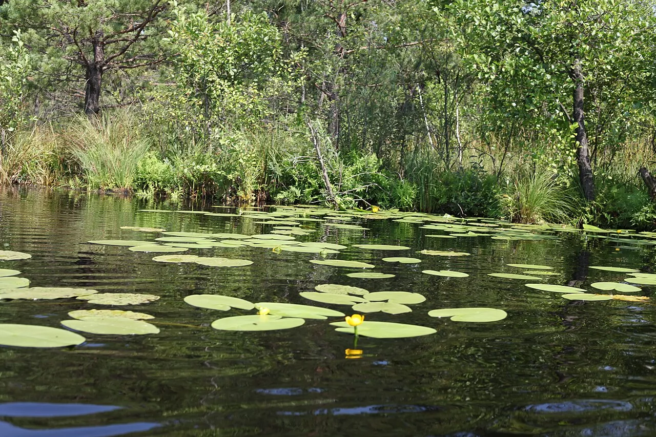
The length of Rytets is about 250 meters, its width is 200, and its maximum depth ranges from 3.7 to 6 meters according to various sources. The lake is round. The southern, western, and northern shores are peat-based, swampy, and steep, while the eastern and northeastern ones are sandy and elevated. It is from this side that you can freely enter the water.
The floating bottom
The bottom near the sandy shore initially seems solid, but already at a depth of about one meter, four meters away from the shore, it feels like it is swaying beneath your feet. Presumably, the upper bottom has been washed down from the sandy shore and covers a thick layer of sapropel, underneath which lies the true bed of the lake.
Mościcki Canal
Rytets is connected to the West Bug by a canal known as the Mościcki Canal. According to legend, before the Second World War, it was dug at the request of a lady who wanted to drain the water from Lake Pulemetske into the Bug and extract sapropel. Ignacy Mościcki, the president of Poland at the time, prevented this. Today, the canal is overgrown, but it still regulates the water level in the lake.
Rytets on video
Nearby
Lake Pulemetske is close by, and Shatsk is the center of the hromada. Find more in the Kovel Raion article.
How to get there
Buses run to Koshary from Shatsk. It is best to swim from the eastern sandy shore. This is a border zone, so have your documents with you.