
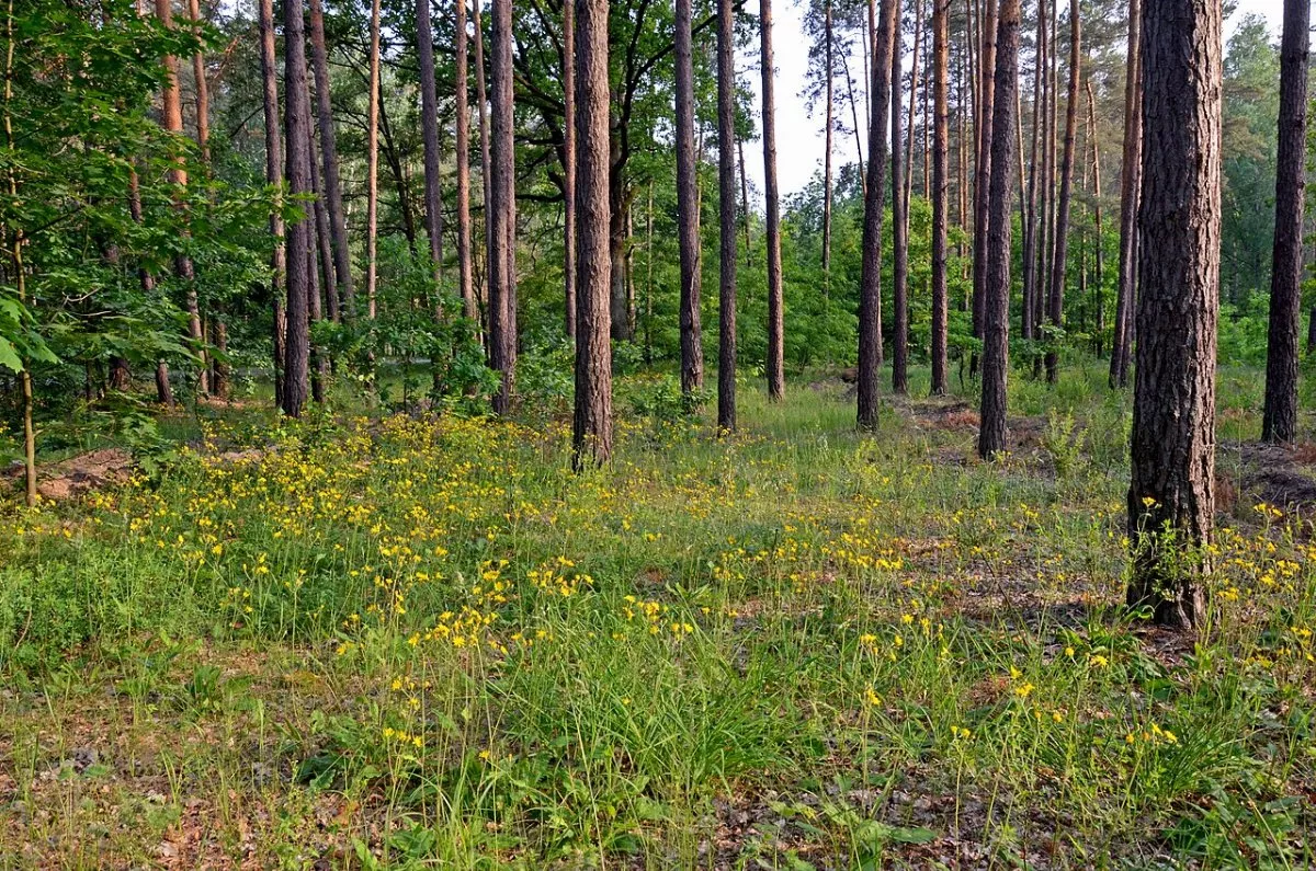
Kyiv cyclists and runners call the ring of forest roads in the northern part of the Pushcha-Vodytsia Forest, on the border of Kyiv's Obolon District and the Vyshhorod hromada, «Arkhimedka». Sources do not explain where the name came from — it is local slang. The 16.9 km long ring runs entirely on dirt roads: there is no asphalt here, only forest soil, sand in places, and a single small bridge.
First of all, this is a trail for cycling and running — the «Pushcha» bike races have been held on its segments. But the ring can also be walked easily: there are almost no elevation changes, so you should budget 4–4.5 hours of a leisurely pace for it. There are many cyclists here on weekends, so it is best to stay on the edge of the road.
Which forest the ring leads through
Most of the trail lies within the «Mezhyhiria-Pushcha-Vodytsia» local landscape reserve, which protects the northern part of Pushcha from development. The forest plots were declared a reserve back in 2005, and the Pushcha-Vodytsia massif itself belongs to the «Holosiivskyi» National Nature Park. Nearby is the «Zolotyi Lis» landscape reserve.
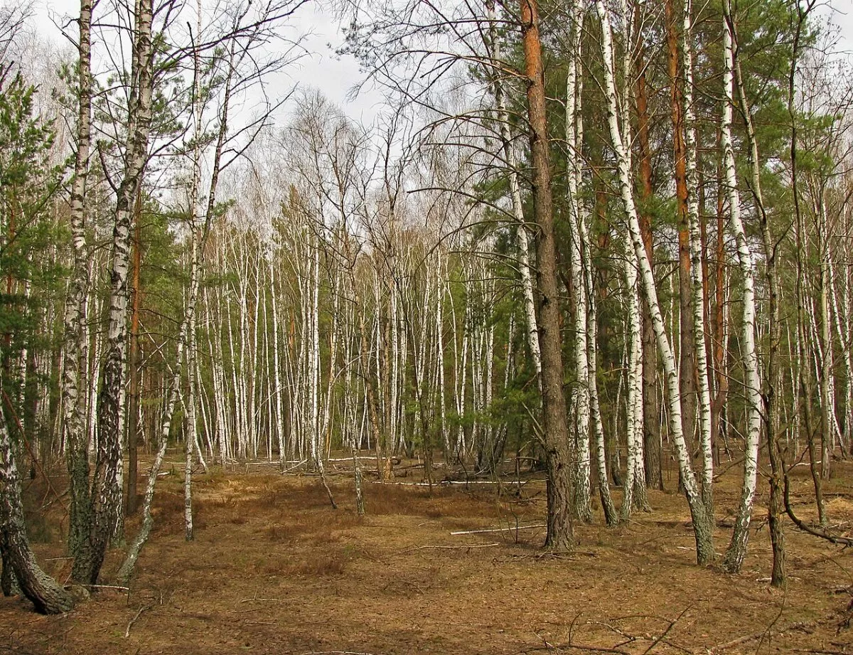
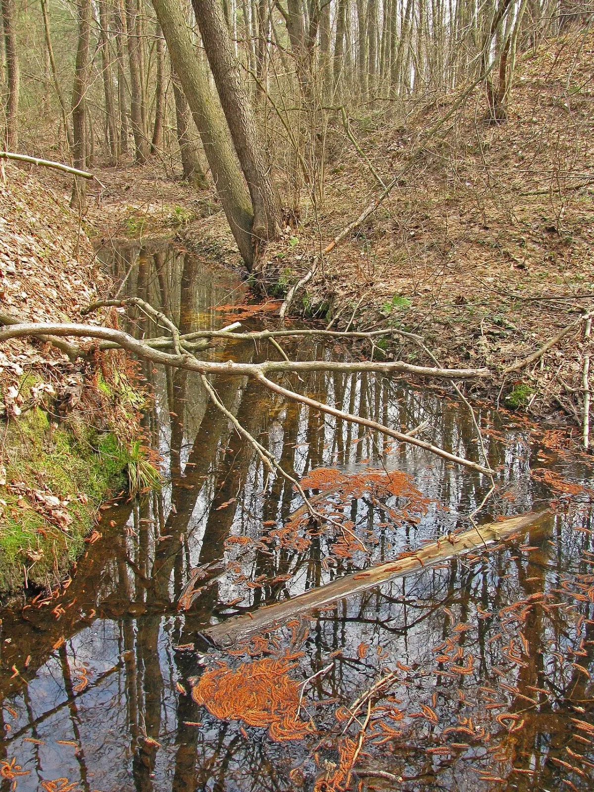
This is a typical forest of the Kyiv Polissia: pine forests on sandy hills give way to birch and alder groves in the lowlands. The ring crosses the Moshchunku stream and small forest creeks, passing the Pidsyniakove and Hutnytske bogs. Nearby, slightly off the trail, is the forest lake of Syniak.
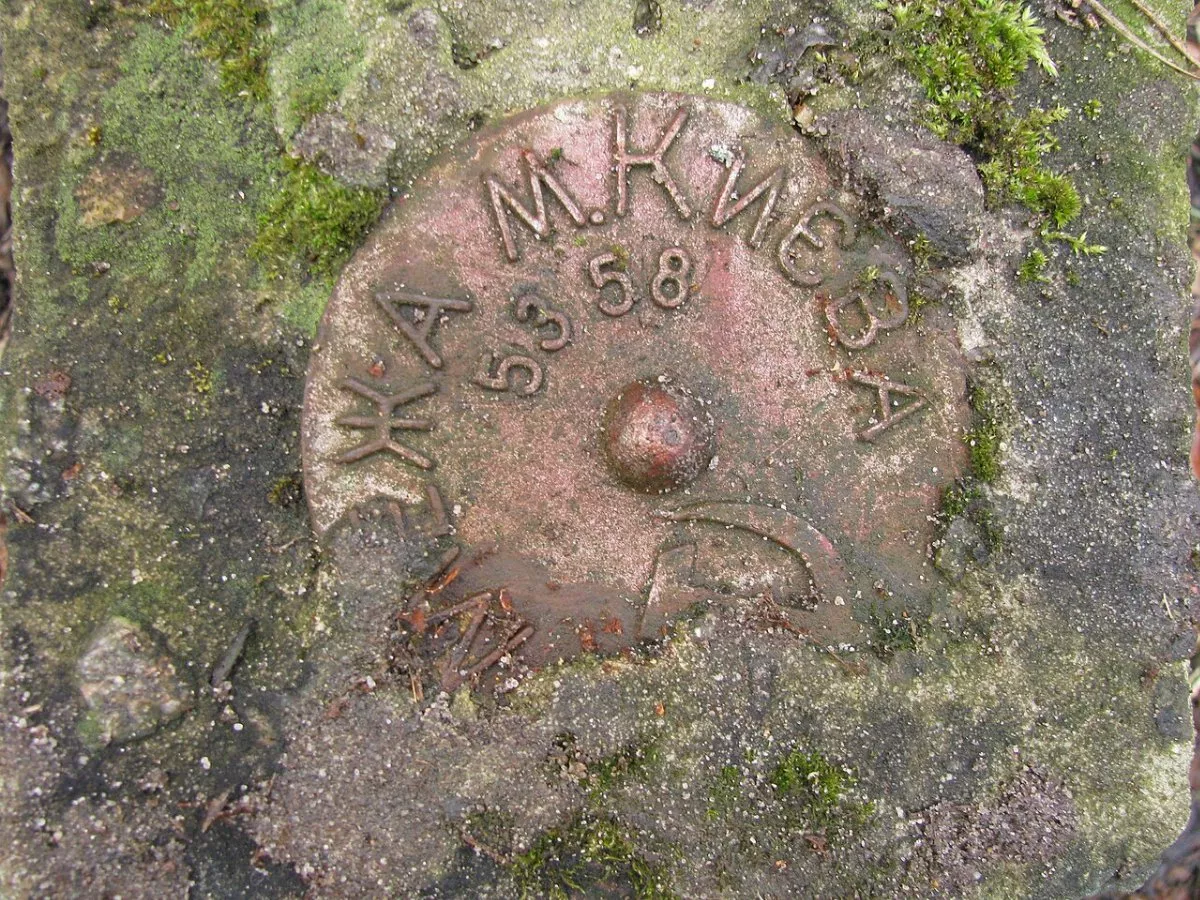
On several segments, the ring runs along the border of Kyiv — in the forest, you can still encounter old boundary posts bearing the inscription «Kyiv City Border 1958».
Safety
The northern outskirts of Pushcha — Horenka, Moshchun — were the area of fierce battles in March 2022. Thousands of people have been walking and riding along the main forest roads for a long time, but you should not step off them into the thickets: if you see an unfamiliar object, do not touch it and call 101 or 112.
How to get there
The beginning of the ring is at the northern edge of the forest between Kyiv and Vyshhorod. Tram No. 12 runs to Pushcha-Vodytsia from Kontraktova Square, and bus No. 30 runs from Akademmistechko metro station; from Pushcha to the trail is a few kilometers along forest roads, so a bicycle is very appropriate here. You can drive by car from the Vyshhorod side. The «How to get to the start» button will plot the route to the starting point of the track.