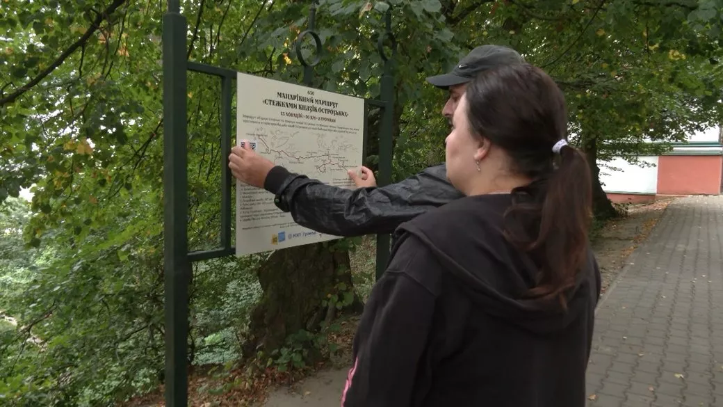
„In the Footsteps of the Ostrogski Princes” is a hiking trail about 50 km long, stretching from Castle Hill in Ostroh to the Hurby tract. It runs through two hromadas, Ostroh and Mizoch, and connects 13 historical and natural locations: from the 14th–16th-century Ostrogski Princes Castle to the site of the largest battle between the UPA and the NKVD in 1944. According to the Ostroh Reserve, the route spans five centuries of history.
The route grew out of a hiking camp that the civic organization Center for Social Transformations has been holding annually since 2015: during this time, about 800 people have hiked it. In 2026, it was added to the list of tourist routes of Rivne Oblast under number 630. In August, signs with QR codes were installed near all 13 locations, and in October, a website with an interactive map and pocket maps was presented. The partners are the Ostroh City Council, the State Historical and Cultural Reserve of the City of Ostroh, and the Dermansko-Ostrozkyi National Park.
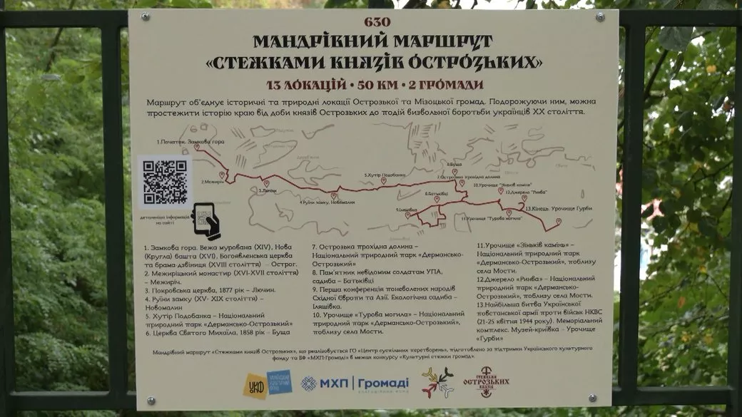
13 locations
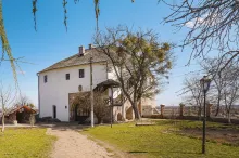
- Castle Hill in Ostroh: the 14th-century Murovana Tower, the 16th-century New (Round) Tower, the Epiphany Church, and the belfry-gate.
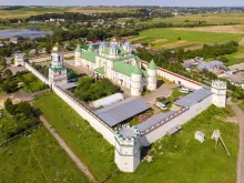
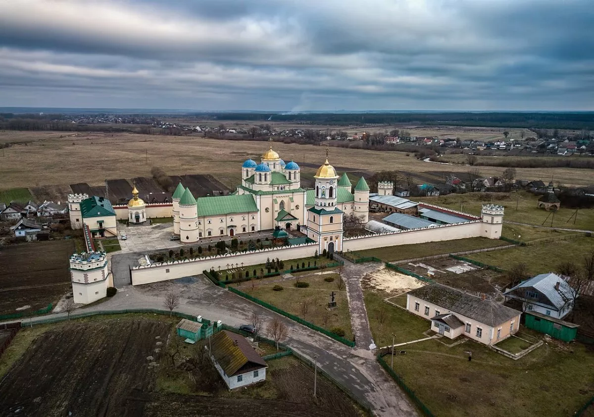
- The Mezhyrich Monastery of the 16th–17th centuries in Mezhyrich.
- The Intercession Church of 1877 in Lychyn.
- Ruins of the 15th–19th-century castle in Novomalyn above the reservoir.
- Podobanka khutir in the Dermansko-Ostrozkyi Park.
- The wooden St. Michael's Church of 1858 in Bushcha.
- Ostroh Passage Valley — the narrowest part of Malo Polissia.
- Monument to unknown UPA soldiers and the homestead in Batkivtsi.
- Illiashivka — the site of the First Conference of Enslaved Peoples of Eastern Europe and Asia (1943), and an ecological homestead.
- Turova Mohyla tract near Mosty.
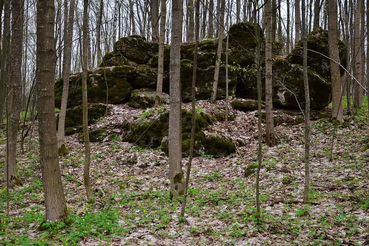
- Zinkiv Kamin tract.
- Hurby tract: memorial at the site of the battle of April 21–25, 1944, a monastery, and a hideout-museum.
How to hike
The route is linear. The camp hikes it in five days with overnight stays in tents; hikers going independently can reasonably break it into two or three days or hike it in sections. Many sections lie far from roads — according to the organizers, they are difficult to reach by car. Between points, there are stretches where separate paint markings may not be present, so download the GPX track from this page. Part of the path runs through the Dermansko-Ostrozkyi Park and coincides with its ecotrail „From Volhynia to Podolia”.
Restrictions on visiting forests have been in effect in Rivne Oblast since 2022. The Ostroh and Mizoch hromadas do not belong to closed border areas, but before the hike, it is worth checking the current regulations with the park or hromada. The track on the map is laid through all locations except Podobanka and the passage valley, the coordinates of which are not available in open sources.
How to get there
Ostroh lies about 40 km from Rivne; buses run here from Rivne and Zdolbuniv. Hurby is not far from Mizoch; from there, it is convenient to return to Rivne via Zdolbuniv.