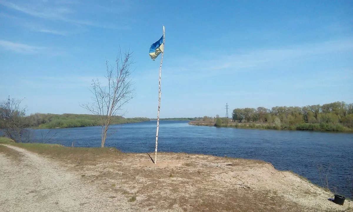
This is a large loop along field and forest roads of the Mezhyrichynskyi Regional Landscape Park in the south of Chernihiv Oblast — between the Desna River and its tributary, the Mesha. The route connects three villages of the Desnianska and Honcharivska hromadas: Otrokhy, Morivsk, and Sokolivka, and runs past the Bondarivske Swamp. Its length according to the track is 45.8 km.
The loop appeared on the map after the winter trail run Ice Trail 2018: on February 17, 2018, about 250 runners started here in Otrokhy over distances of 10, 27, and 53 km. The organizers described the route as follows: fields, forest roads, paths along the swamp, and the river bank. There is no permanent tourist markings on it.
Who this loop is for
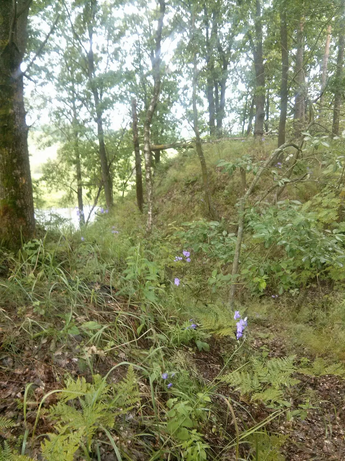
45.8 km is an ultramarathon for a runner or a full day for a cyclist. On foot, it is sensible to split the route into two days with an overnight stay in Otrokhy or Morivsk. The surface consists of dirt field and forest roads, forest paths, several village streets, and a short stretch of the R-69 highway. In spring and after rains, the paths near the swamp can be impassable, and in winter they can be snowy, just like during the race.
Mezhyrichynskyi Park
The Mezhyrichynskyi Regional Landscape Park was created in 2002 between the Dnipro and Desna rivers. It is the largest regional landscape park in Ukraine, covering over 102,000 hectares of pine terraces on sands, floodplain meadows, and swamps. Wolves, otters, badgers, and moose live here, and the main pride of the park is the lynx, which regularly breeds in its forests and has become the symbol of the Ice Trail race. The park directorate operates in Otrokhy.
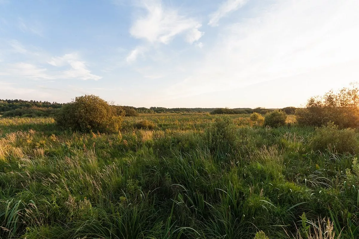
The western part of the loop passes the Bondarivske Swamp hydrological reserve — a massive swamp with an area of about 1,300 hectares, which formed, according to estimates, about six thousand years ago.
Villages along the route
Otrokhy is a tiny village on the left bank of the Mesha River, where about 60 people live. In 1781, it belonged to the Kyiv-Sophia Monastery.
Morivsk is an ancient village on the Desna River: a chronicle mentions it under the year 1139, and in 1175 Morivsk was burned down during internecine strife. In the center stands the Mykolaivska Church and a World War II memorial. Nearby is the Morivskyi hunting reserve, where only photo hunting is permitted.
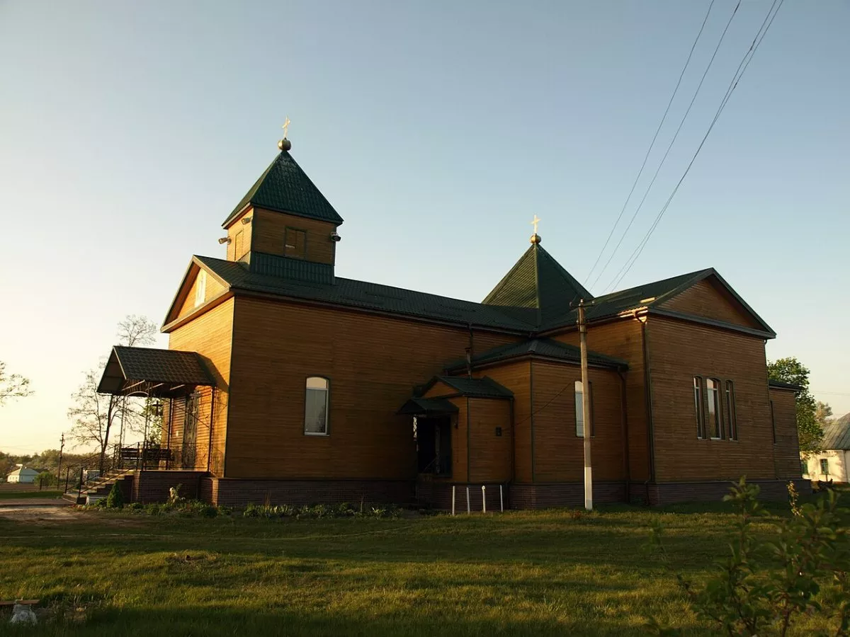
Sokolivka is a village on the Desna River founded in 1690; in the 19th century, it belonged to the Morivska volost of Oster uezd.
Safety
In the spring of 2022, Chernihiv Oblast was in a combat zone. Before setting off, you should check with the hromada whether there are any restrictions on visiting forests, and do not stray from roads and paths. Do not touch unfamiliar objects; call 101 or 112. The route runs approximately 19 km from the border with Belarus — this is a border zone, so carrying identification documents with you is mandatory.
How to get there
Morivsk lies on the R-69 highway Kyiv — Chernihiv, and suburban buses run there from Kyiv and Kozelets. Otrokhy is a few kilometers from Morivsk. The "How to get to the start" button will map the route to the beginning of the track.