
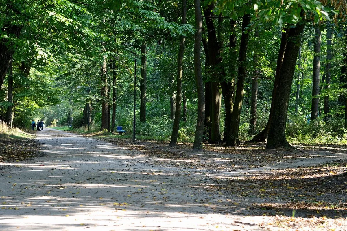
“Staryi Park nad Stokhodom” is a short ecological trail in the Prypiat-Stokhid National Nature Park in the urban-type settlement of Liubeshiv in northern Volyn. It leads through the old Liubeshiv Park to the Stokhid floodplain and is about 900 meters long. The trail was created by the park and the Liubeshiv settlement community, and in July 2026 it was updated: stands with QR codes and audio stories about plants, animals, history, and legends of Liubeshiv appeared, as well as an insect house. You can walk it independently or with a guide — to join a tour, register at the national park administration.
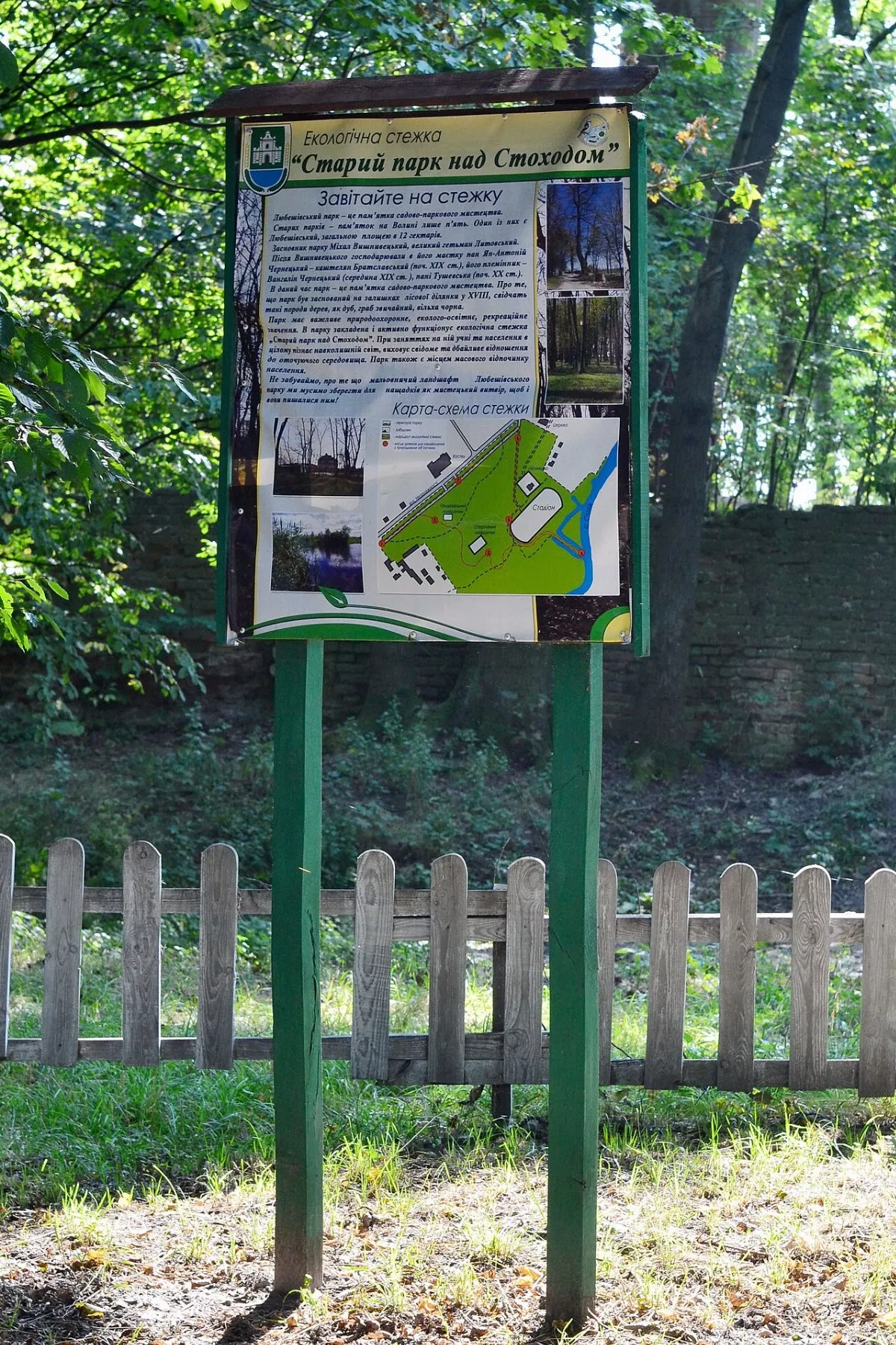
Seven stops
- “We are on the ecological trail” — a stand near the entrance;
- “Colony of rooks”;
- “Hill and valley”;
- “Stokhid floodplain”;
- “Old oak — witness of ancient times”;
- “Temple of nature near the Lord’s temple”;
- “Historical traces of the past.”
The park was established in the 18th century on the remains of a forest — as evidenced by old oaks, hornbeams, and alders. In spring, the rare Bushe’s buttercup blooms here; collecting and selling it is prohibited.
Park and estate
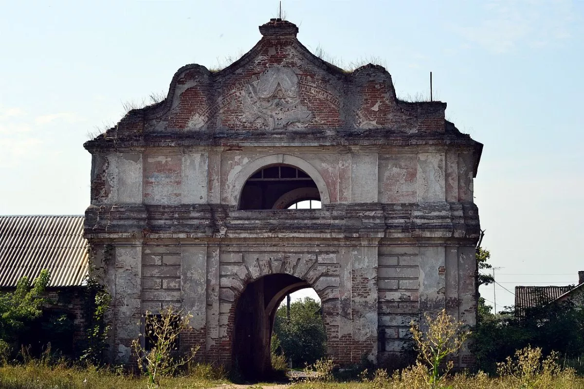
Liubeshiv Park is a garden and park art monument covering 12 hectares; there are only five such old park monuments in Volyn. Once there was the Vyshnevetsky estate here, later the Charnetsky estate. The baroque gate from the 18th century has been preserved — the last stop of the trail. Nearby stand the church and cells of the former Capuchin monastery.
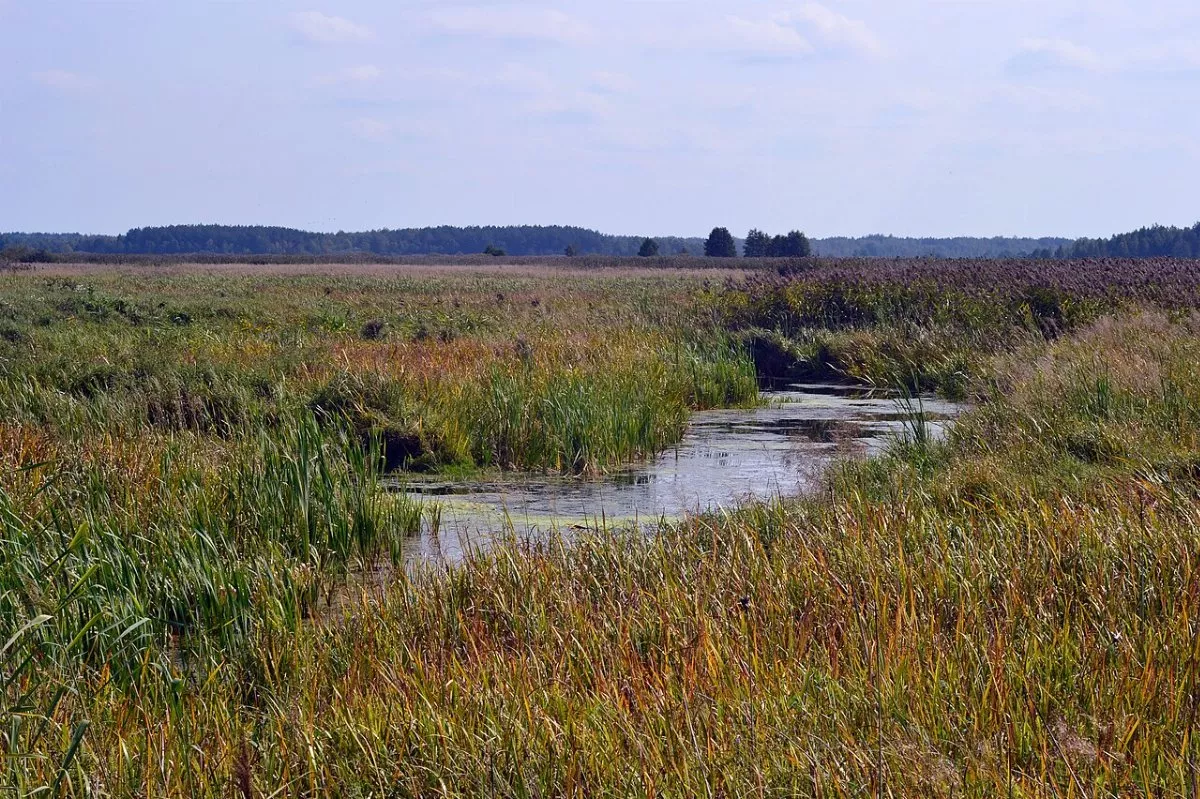
From the park, the trail leads out to the Stokhid floodplain — one of the most winding rivers of Polissia, which gave its name to the national park along with the Prypiat.
Tips and route
From Lutsk to Liubeshiv is about 140 km — two hours by car via Rozhyshche, Kolky, and Kamin-Kashyrskyi. The trail starts near the central entrance to the settlement park. According to the trail passport, the best time for it is from June to September. Liubeshivshchyna lies near the border with Belarus: restrictions do not apply to the park itself in the settlement, but before walking in the forests and floodplain, check the current regime in the national park. The track on the map is drawn with straight lines between the stops.