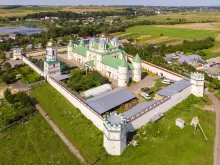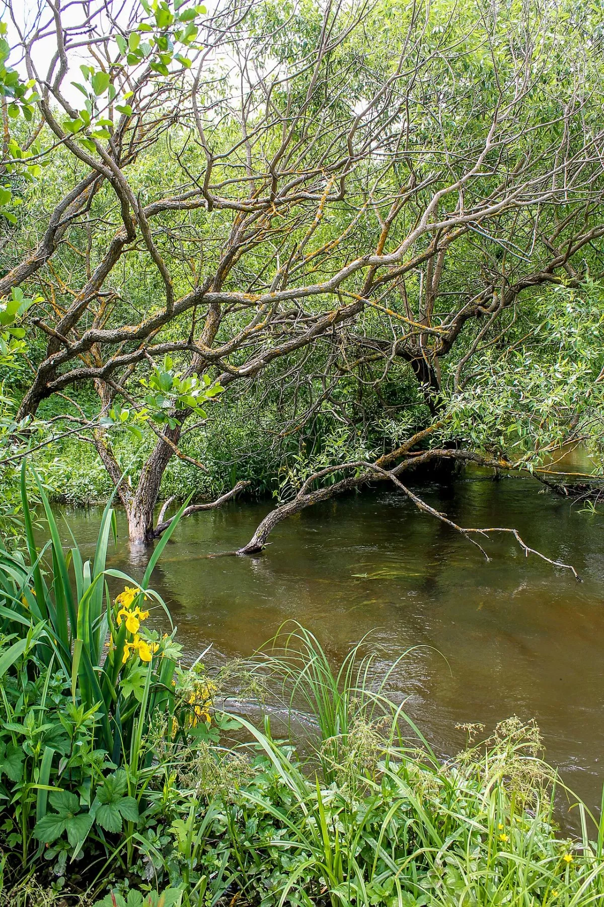
„Zaplavoyu richky Zbytynky” is the longest hiking trail in the Derman-Ostroh National Nature Park: 38 km from the village of Mezhyrich to the village of Sviatye in the south of Rivne region. It is designed for two days with one overnight stay, at an average speed of 4 km per hour; the park advises groups of up to 20 people. The trail is linear and runs along the floodplain of Zbytynka, mostly through the territory of the park, crossing three natural regions — the Volyn Upland, Malo Polissia, and the Podilia Upland.
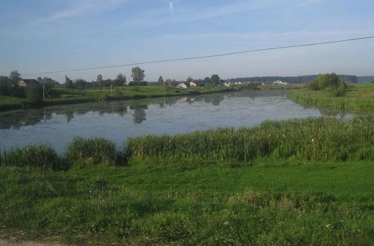
Where it starts
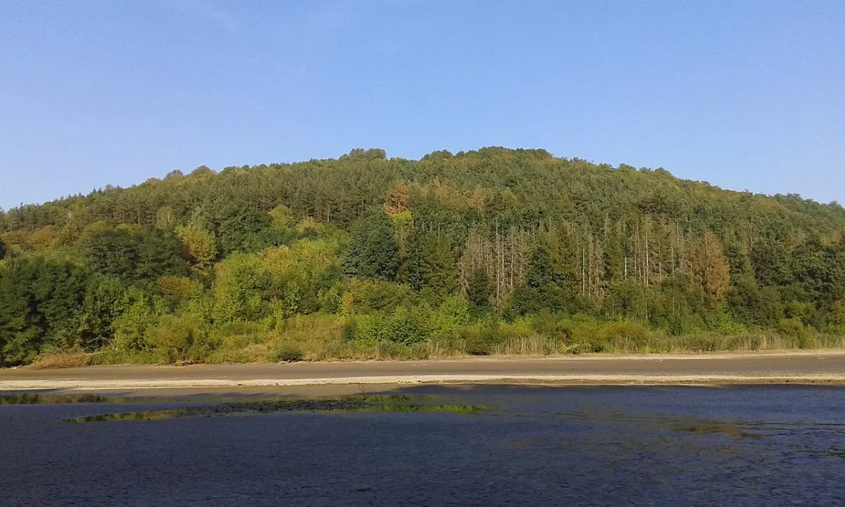
The start is in Mezhyrich, at the confluence of Viliya and Zbytynka. Zbytynka, also called Svytetynka, is a 56 km long river in the Horyn basin. It flows through the Ostroh Through Valley — the narrowest part of Malo Polissia, once eroded by melting glacial waters. The valley bottom is marshy, and pine and oak-pine forests grow on the sand dunes.
What is along the way
The park does not publish a detailed list of stops, but the valley corridor, which also accommodates the park's bicycle path, contains the main sites of this region:
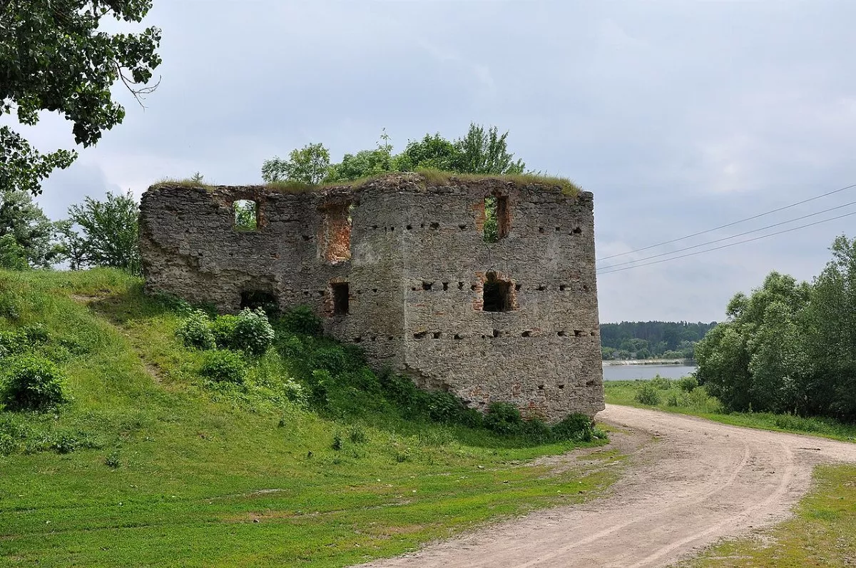
- Novomalyn — a reservoir with an ornithological reserve and the ruins of a 15th-century castle-palace;
- Illiashivka — two old linden trees;
- Bushcha — a village mentioned in 1322, with a wooden Mykhailivska Church from 1858 and the Bushcha Botanical Reserve;
- the Zinkiv Kamin tract — boulders on the slope and the legend of Voivode Zinkko;
- Mosty — a mid-19th-century water mill, near the Hurby tracts (site of a 1944 battle between UPA and NKVD, monastery) and Peklo;
- Buderazh — a hillfort where artifacts from the Bronze Age to Kievan Rus are found.
The finish is in the village of Sviatye, at the western edge of the park. Along the way, you can take two short eco-trails of the park — „Vid Volyni do Podillya” near Bushcha and „Urochyshche Vilkhava” near Mosty, as well as the ornithological trail in Novomalyn.
Tips
This is a full two-day hike: you will need a tent or an arrangement for overnight stays in the villages, a supply of water, and tick repellents. In spring and after rains, the floodplain can be wet — rubber boots will not hurt. Restrictions on visiting forests have been in effect in Rivne region since 2022, so the hike must be coordinated in advance with the Derman-Ostroh Park. The track on the map is an approximate corridor through the valley villages, routed along roads (about 43 km); the exact trail will be shown by the park.