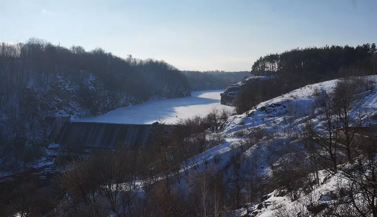
Zhytomyr stands on the granitic banks of the Teteriv, and this is most beautifully seen on a short walk from the Monument of Glory to Shoduar Park. This is not a marked eco-trail, but an urban route about 3 km long: rocks above the water, a waterfall on the dam, a spring, viewing platforms and a suspension bridge. You can leisurely walk it in an hour to an hour and a half.
Monument of Glory
The start is near the Monument of Eternal Glory at the highest point of the city. A 37-meter column with figures of a soldier, a partisan and a girl standing with their backs to each other, and an eternal flame. From here, the bridge and waterfall are visible; locals advise coming here at sunset. Nearby is a viewing platform over the slope and a spring called "Dzhereltse".
Head of Czacki and Four Brothers
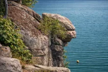
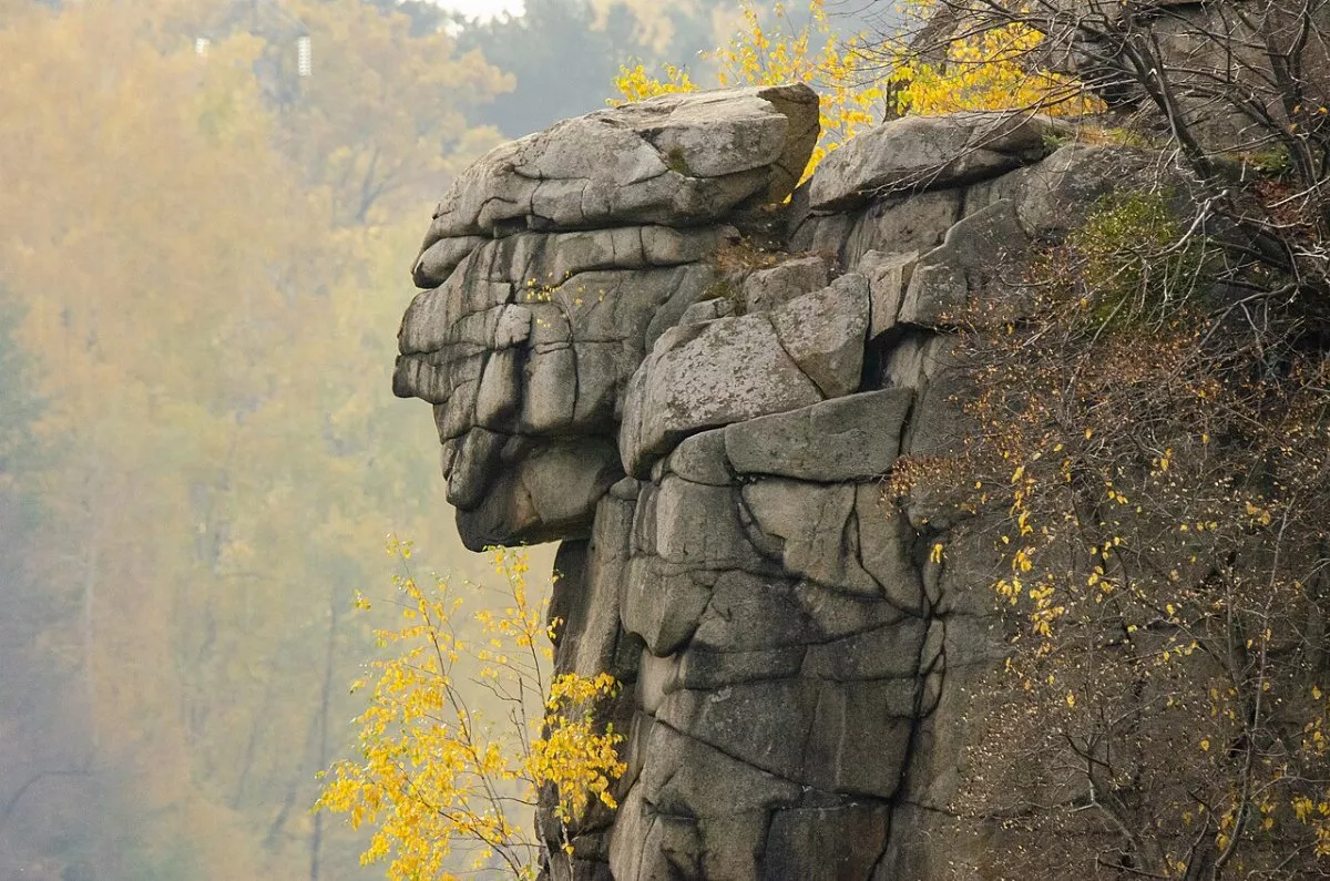
The trail descends the slope to Head of Czacki Rock, a geological natural landmark since 1967. The grey granite rises about 30 m above the water, and the top truly resembles a human head. Together with neighbouring rocks, it forms a stone wall about 120 m long, and many legends circulate around it.
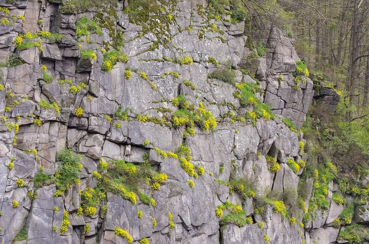
Opposite, on the right bank near the dam, is Four Brothers Rock: a wall 150 m wide and up to 20 m high with four protrusions resembling human figures. Between the rocks is the dam of the Zhytomyr Reservoir with a waterfall that does not freeze completely even in frost. There are rock-climbing routes on the rocks.
Shoduar Park and Suspension Bridge
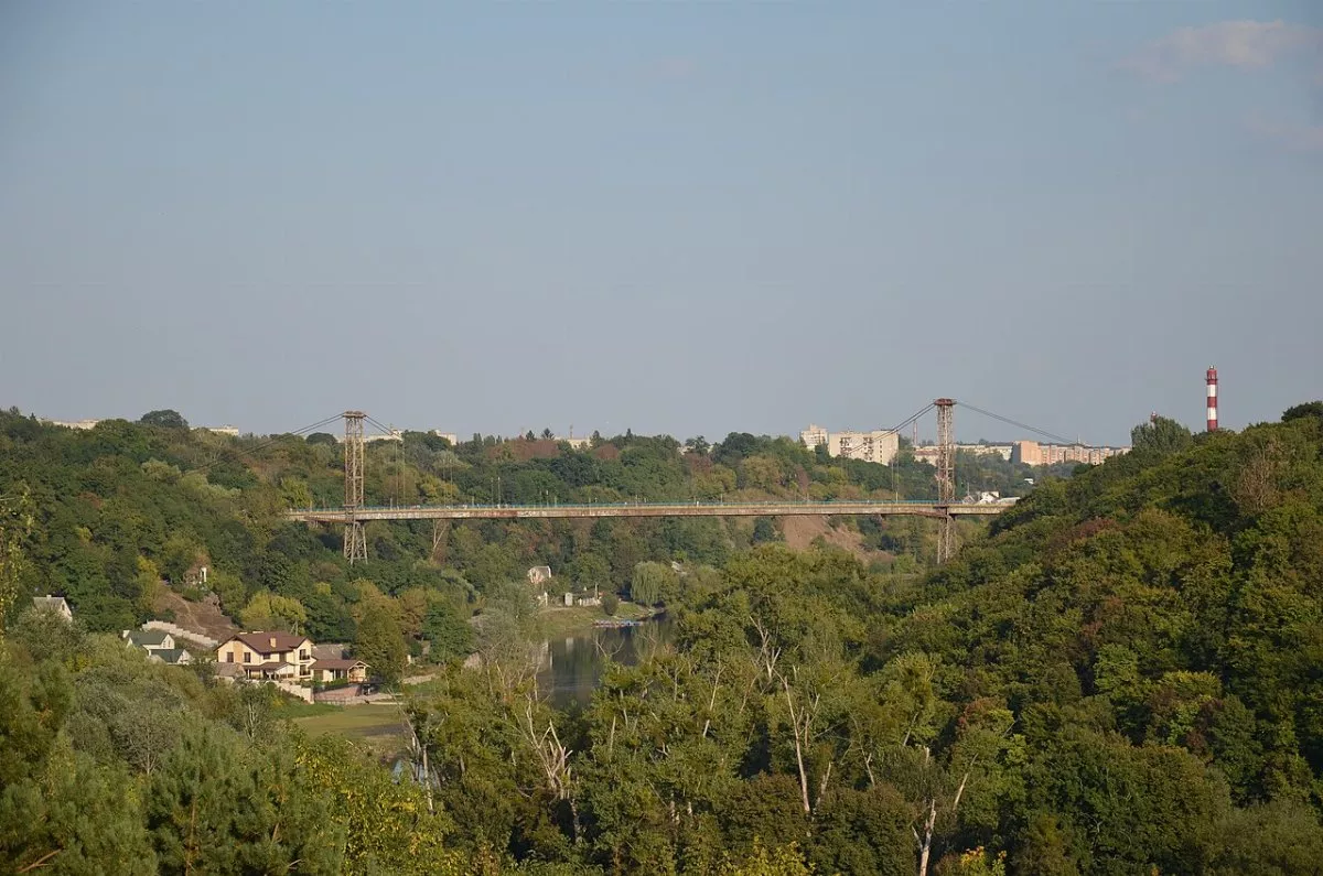
Further, the route leads along the Teteriv to Shoduar Park, a landscape art monument founded in the early 20th century by Baron Ivan de Shoduar. A staircase of 184 steps descends to the river here, and a suspension pedestrian bridge about 350 m long, built in 1982, is thrown across the valley. In summer, the "Shoduar Arbor" festival takes place in the park.
Tips
The slopes near the rocks are steep and slippery after rain — comfortable footwear is required. Do not approach the edge of the rocks. If desired, the walk can be continued in the other direction, to the Hydropark with a pine forest on the shore, where an inclusive descent to the Teteriv was arranged in 2025. The track on the map is laid along paths and streets — part of the way between the rocks and the park can be walked along the bank or through the centre.