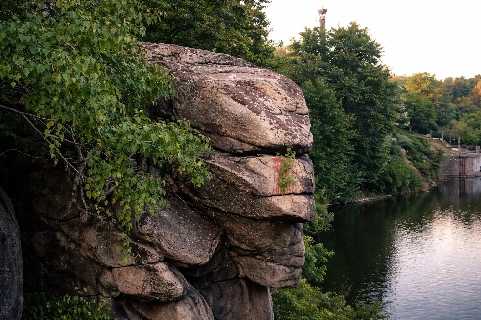
The "Chatsky Head" rock is one of Zhytomyr's most recognizable natural locations. It towers over the Teteriv River and resembles a human profile from afar, with a clearly visible forehead, nose, and chin. Because of this shape, the rock has become a symbol of the city—it can frequently be seen in photos, on postcards, and along tourist routes.
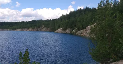
This is neither a sculpture nor a monument: the rock is an outcrop of grey granite belonging to the Ukrainian Shield, and its "face" was shaped by weathering. The granite is much older than the city itself. The rock rises approximately 30 meters above the water and, together with neighboring massifs, forms a stone wall about 120 meters long.
Where the name comes from
There are several versions regarding the origin of the name. According to one legend, a nobleman named Chatsky died here when he jumped off the cliff into the Teteriv River while fleeing pursuers. Another version links the name to the famous educator Tadeusz Chatsky. Neither version has been documented, but the place has long been a part of urban folklore.
Natural landmark
Since 1967, "Chatsky Head" has been a local geological landmark. It is part of the rock complex above the Teteriv River and is clearly visible from various points, particularly from the hill near the Monument of Glory and from the reservoir dam. Rock-climbing routes have been laid out on the nearby cliffs.
Today, it is both a natural site and a popular recreation spot. People come here to walk, have photo sessions, watch the sunset, or simply sit by the water.
How to get there
The rock stands on the left bank of the Teteriv River, southwest of downtown Zhytomyr, in the Pavlykivka and 2nd Kryvyi Lane area, not far from the Monument of Glory — it is an easy walk from the city center.
What is nearby
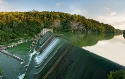
Near the rock is one of Zhytomyr's most beautiful natural areas. Within a few minutes, you can walk up to the Monument of Glory, which offers a panoramic view of the river and cliffs. Nearby is the reservoir dam with a waterfall, another popular walking spot. This area features plenty of greenery, paths leading down to the water, and other rocks, including the "Four Brothers" massif, making it well-suited for long hiking routes.
What you should know
- the best view is from the opposite bank or from the viewpoints;
- the site is not equipped as a tourist facility, so please be careful near the edge of the cliffs;
- a great spot for sunset photography;
- popular with locals, yet free of crowds.