
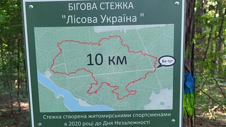
“Lisova Ukraina” is an unusual trail in Zarichanskyi Forest on the eastern outskirts of Zhytomyr, near the villages of Zarichany and Huyva. Its outline mirrors the shape of the map of Ukraine: if you walk or run the loop with a GPS watch, the country, scaled down more than 500 times, will appear on the screen. The length is 10 km; on foot, you should allow two and a half to three hours for it, while running takes about an hour.
How it was created
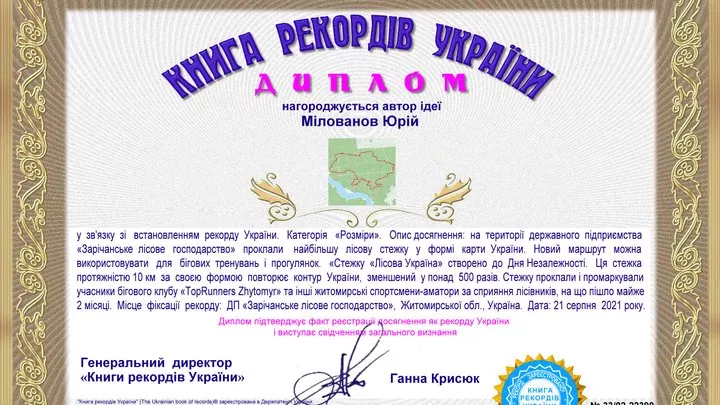
The idea belongs to Zhytomyr amateur runner Yurii Milovanov from the TopRunners Zhytomyr club. In the summer of 2020, a team of 23 people spent almost two months manually laying and clearing the trail, while the foresters of Zarichanske Forestry helped and continue to maintain it to this day. The trail was presented for Independence Day, and on August 21, 2021, it was entered into the Book of Records of Ukraine as the largest forest trail in the shape of the map of Ukraine. Back then, the runners also dreamed of a 50-kilometer “Ukraine” from Barashivka to Denyshi.
What you need to know
The trail is marked with blue and green stripes on the trees, and at the start, there is a sign with a map and a “You are here” marker. The direction of travel is not established — you can go clockwise or counterclockwise. This is a forest trail with roots and sand, so trail running shoes are better for running. In summer, bring water and tick repellent.
The track on the map is plotted along the trail line from maps — it is slightly shorter than 10 km because part of the outline runs along other forest roads. The condition of the markings should be checked on-site: the trail is already several years old.
How to get there
The start is in the forest between Zhytomyr and Zarichany, east of the city; from the center of Zhytomyr, it is 15–20 minutes by car. Before heading out, check with the forestry office to see if any forest visitation restrictions are in effect.