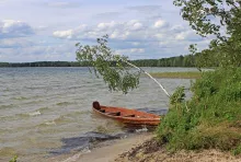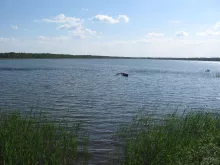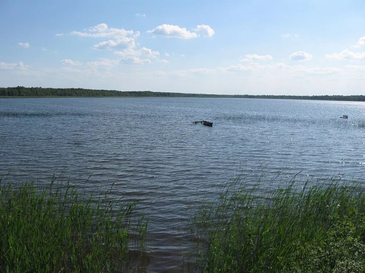
“Two Lakes” is a hiking and cycling trail around two lakes of the Shatsk lake district, Pisochne and Peremut. It was created by the Shatsk settlement council together with the Shatsk National Nature Park, supported by the public organization “Shatsk Lake District” and international donors. According to the park, the route is about 9 km long and takes approximately two hours to complete. It is marked with a white-green-white stripe and signs featuring the “Two Lakes” logo.
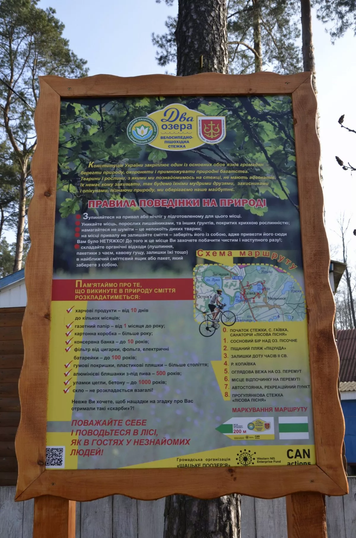
Eight Route Points
The board near the start lists all the stops:
- start — the village of Haivka, near the “Lisova Pisnia” sanatorium;
- pine forest above Lake Pisochne;
- sandy beach, locally called “Pitsunda”;
- remains of a World War II pillbox;
- Kopaivka River — an old drainage canal;
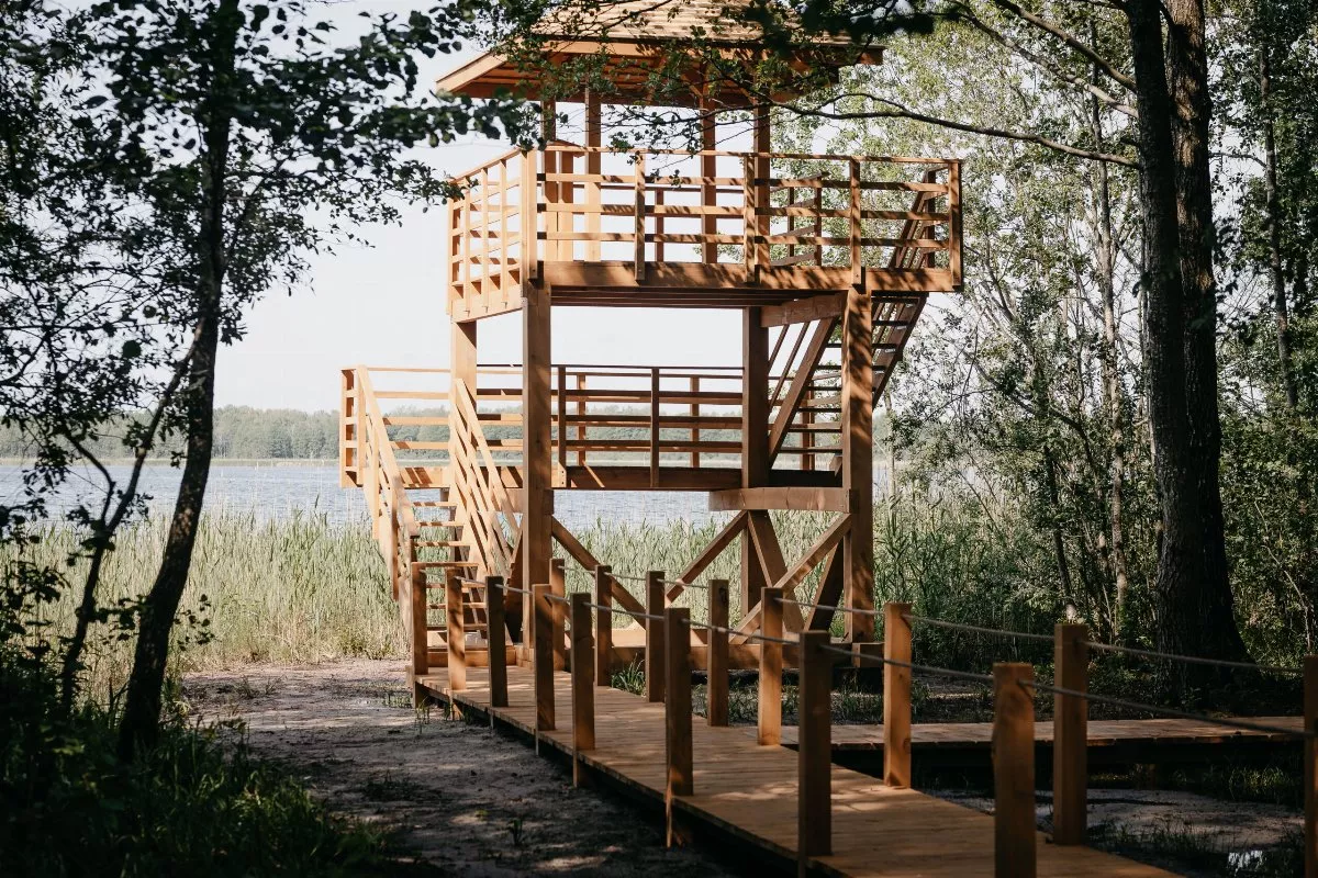
- observation tower on Lake Peremut;
- rest area on Peremut;
- parking lot and recreation point “Peremut,” from where the route returns along the “Lisova Pisnia” walking trail.
Part of the loop coincides with the “Lisova Pisnia” ecological trail, so along the way you can also see its features — a pier on Peremut, a campfire site, and the art object “Nest.”
Pisochne and Peremut
Pisochne is one of the most popular resort lakes of Shatsk with sandy beaches, along whose shores rest bases and a sanatorium stand. Peremut is a karst lake with an area of almost one and a half square kilometers, connected by a channel to Lake Luky; its shores are low and marshy, and the water is often murky, which is said to be the origin of its name.
Tips and the Route
Haivka lies north of Shatsk and is easily accessible by car or bicycle. The loop is convenient to start from the “Peremut” parking lot. Beaches are crowded in summer, so the quietest time here is in spring and early autumn. The Shatsk region is a border area: before hiking through the forest, check the current regulations with the park or border guards, and men aged 18–60 should carry a military registration document. The track on the map is laid out according to the board’s scheme and is slightly shorter than the official 9 km — follow the markings.