
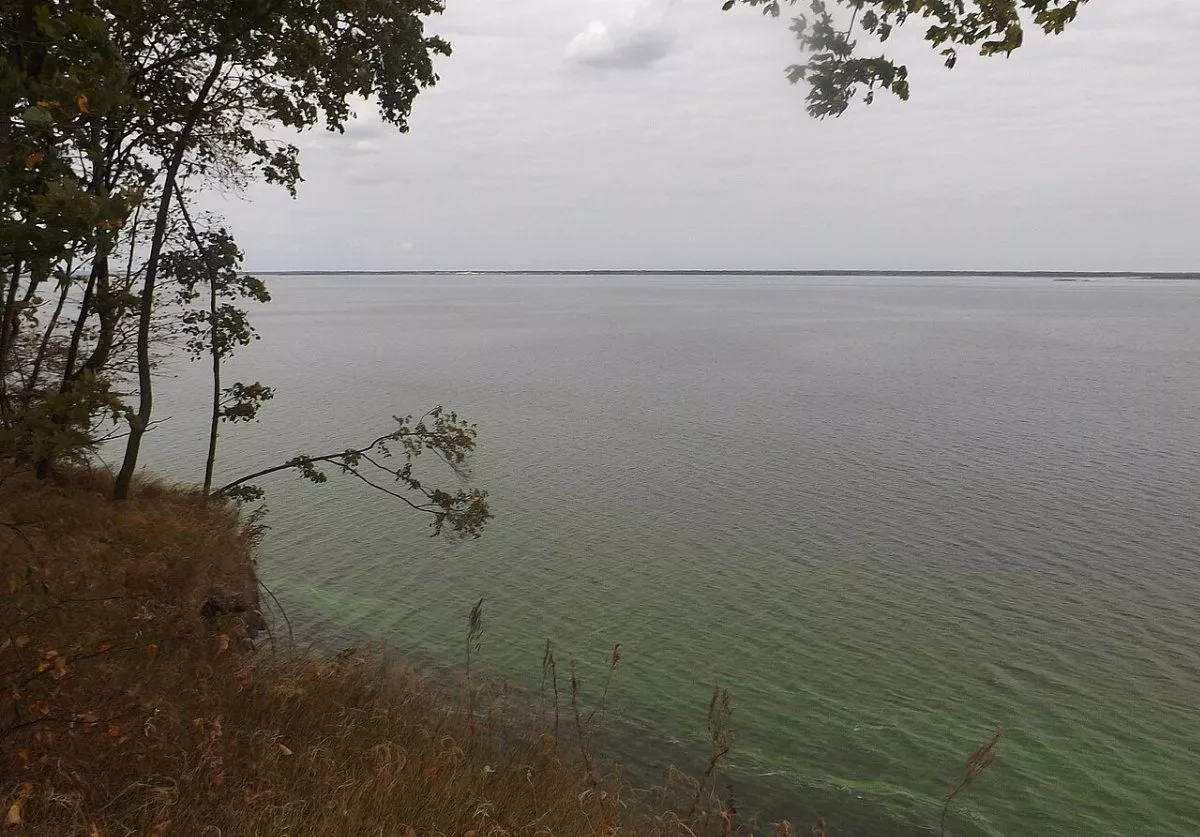
The Rzhyshchiv Eco-Trail stretches along the right bank of the Dnipro — specifically, the Kaniv Reservoir — from the city of Rzhyshchiv to the village of Balyko-Shchuchynka in the south of the Kyiv region. The route is 10.8 km long, linear, and marked with a white and green stripe. These are the most beautiful bluffs of the Rzhyshchiv hromada: forest on steep slopes, ravines with streams, steppe areas with feather grass, and wide views of the water and islands.
The trail is being laid out by the "Hlyboki Balyky" ecological research station, which has been operating in Balyko-Shchuchynka since 2020. The station's scientists described possible routes in a collection on the hromada's biodiversity, and on March 29, 2025, they held the "Trail of Restoration" community cleanup: about 50 volunteers — mostly young geographers and the Rzhyshchiv Youth Council — set up 1,600 m of the trail on Ivan-hora in a single day. They cleared blockages, dug terraces, laid footbridges, installed stairs in steep places, and removed half a hundred bags of garbage. The next section planned for development is the "Karier".
Ivan-hora
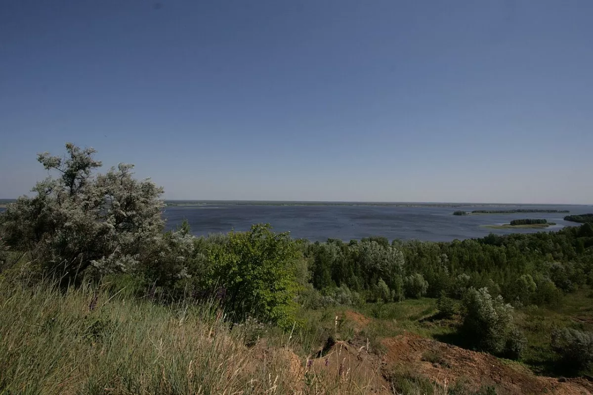
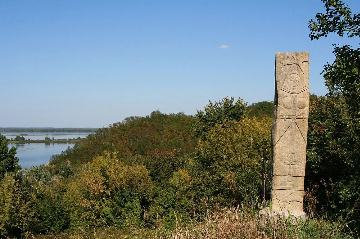
The most important point of the route is the "Ivan-hora" hillfort, an archaeological site of national significance. The chronicles' town of Ivan stood here, mentioned in the Hypatian Codex under the year 1151; it was destroyed during the Mongol invasion in 1240. The viewpoints on the highest parts of the slopes offer views of the Dnipro with its islands, and old stone crosses stand on one of them. The banks of the reservoir are eroding, and the waves are gradually destroying the citadel of the hillfort.
What you will see along the way
From the college in Rzhyshchiv, the trail descends to the Dnipro past the Transfiguration Monastery. On the shore is a small beach where you can see waterbirds and European pond turtles. Further on, the route climbs steep slopes with deciduous forest: in spring, corydalis and anemones bloom here, rare orchids occur, and in damp places you can find mosses and amphibian spawning bodies of water.
After Ivan-hora, the trail descends into a damp, cool ravine with a stream and comes out at the "Hlyboki Balyky" station. Feather grass grows on the open slopes above the Dnipro — and you can see how it is being crowded out by the invasive common milkweed. Mallards, herons, grebes, swans, grass snakes, and marsh frogs live near the water.
Balyko-Shchuchynka
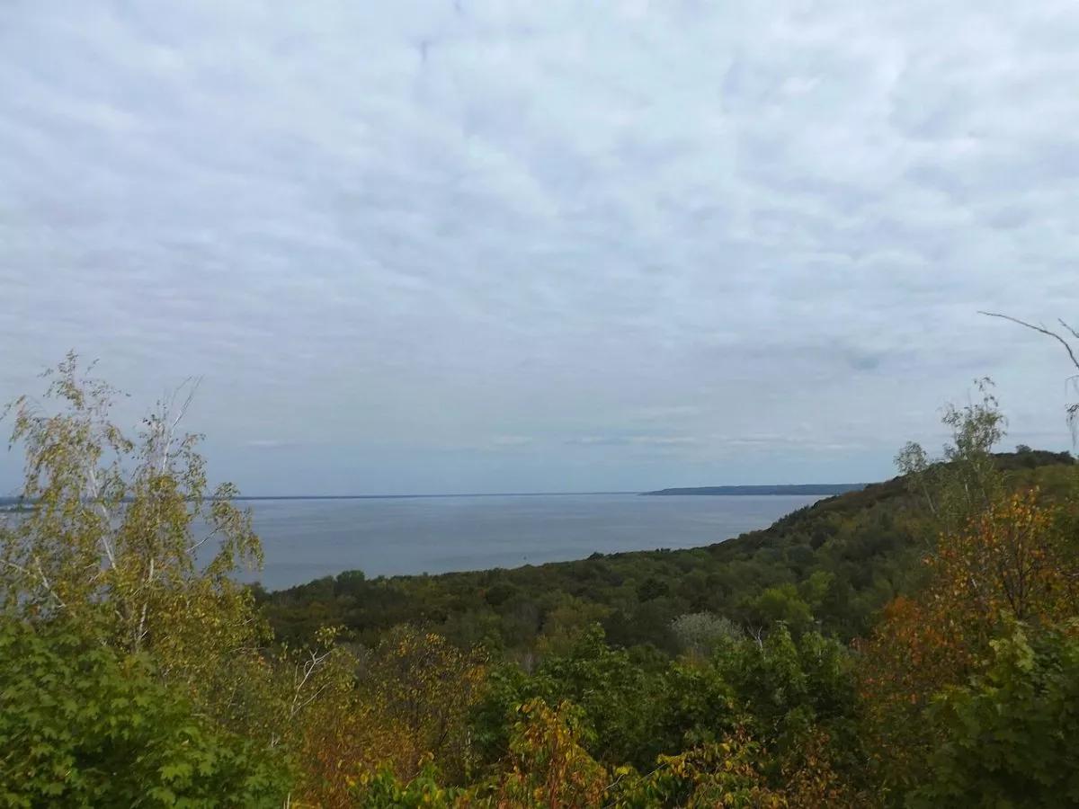
The finish is in the village of Balyko-Shchuchynka, on a hill with the memorial to the Bukryn bridgehead: in the autumn of 1943, fierce battles were fought here for the crossing across the Dnipro. Near the village, there is also the hillfort of the chronicles' town of Chuchyn. From the bluffs, the left bank and the Trakhtemyriv Peninsula are clearly visible.
Rzhyshchiv
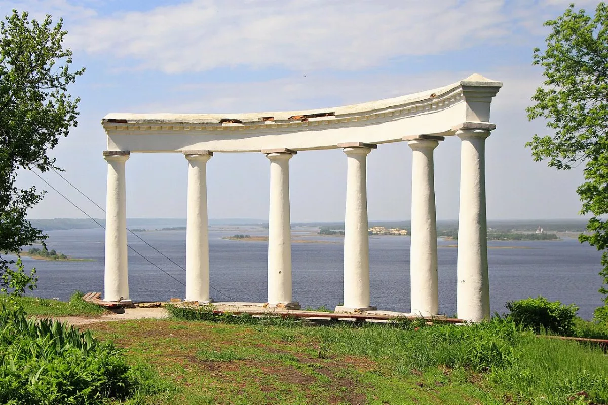
The town where the trail begins was granted Magdeburg rights in 1506. In 1653, the ambassadors of Bohdan Khmelnytsky held negotiations in Rzhyshchiv. The community is proud of the region's Trypillia past — there is a Trypillia culture square here and the "Trypillian Circle" festival is held annually.
Tips and route
The route takes 3–4 hours: there are steep ascents and descents with stairs, so shoes with good tread are needed. Do not approach the edge of the cliffs above the water — the banks are crumbling. Rzhyshchiv lies about 80 km from Kyiv, and buses run here from Kyiv and Obukhiv. Since the trail is linear, you can return from Balyko-Shchuchynka to Rzhyshchiv by local bus or taxi. The "How to get to the start" button will map the way to the beginning of the track.