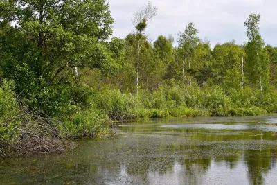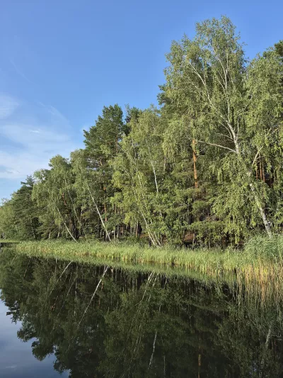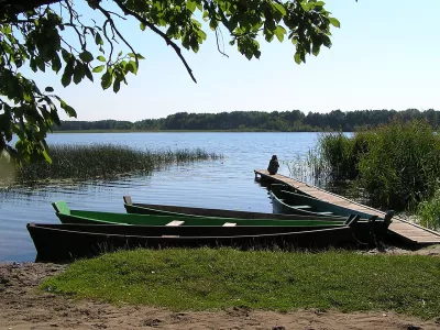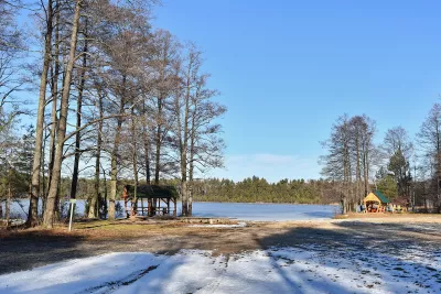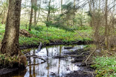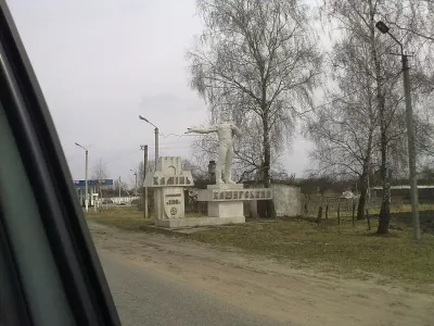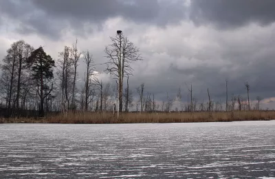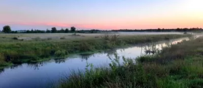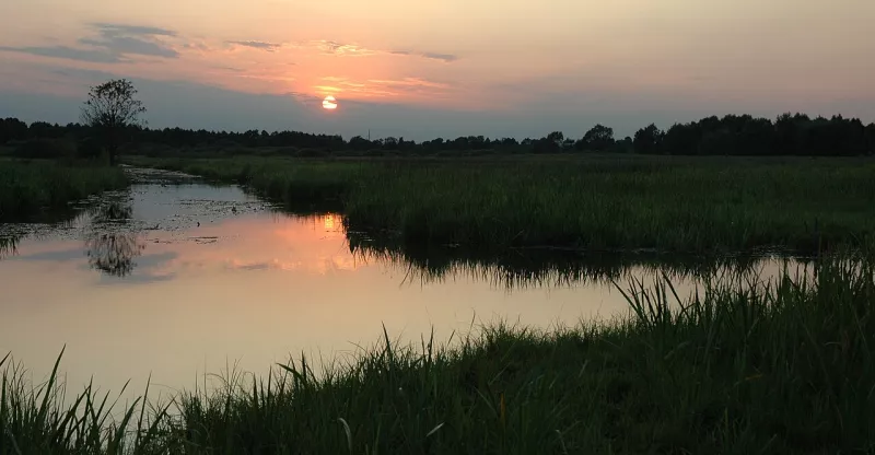
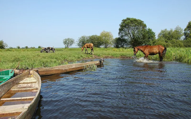
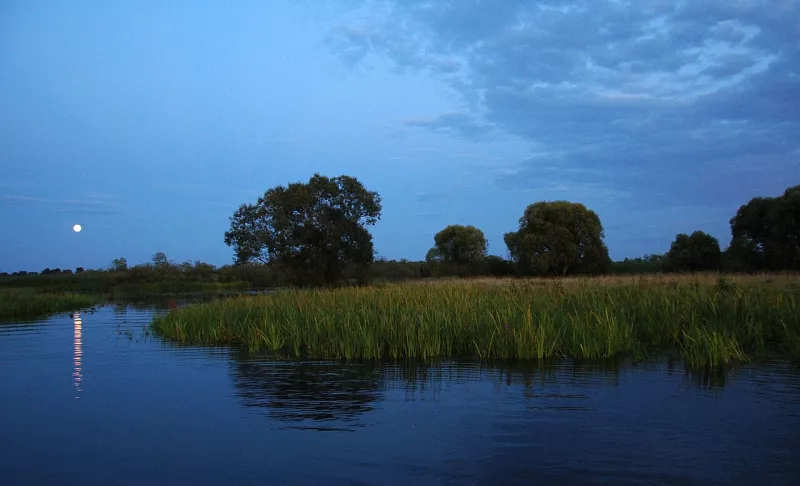
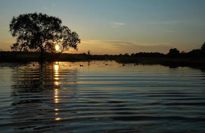
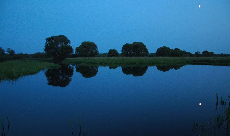
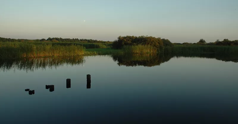
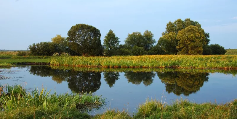
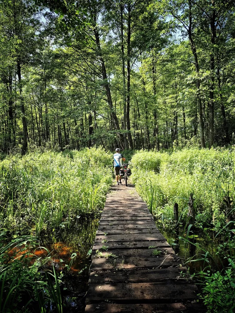
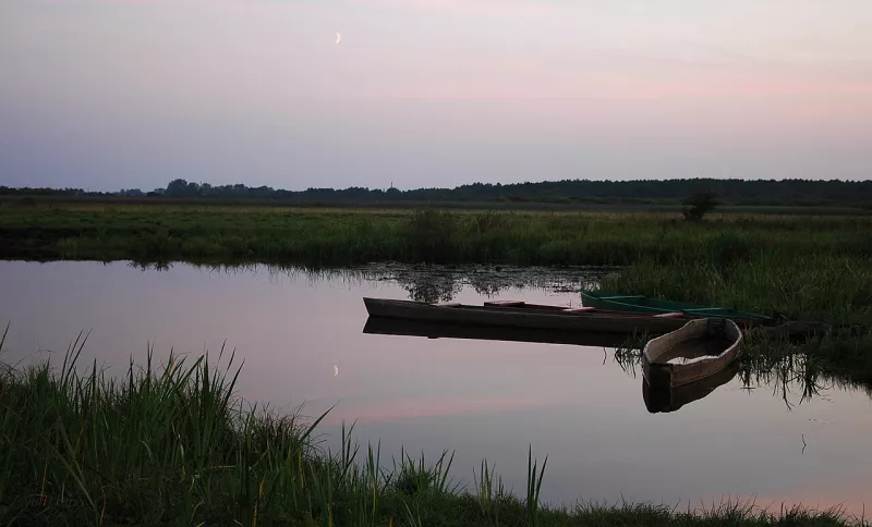
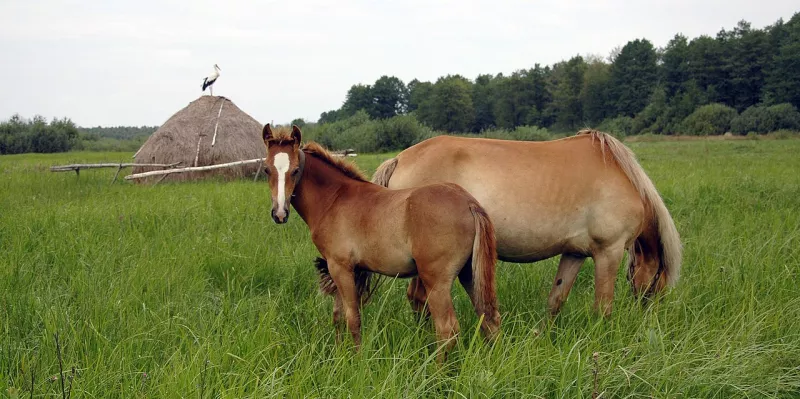
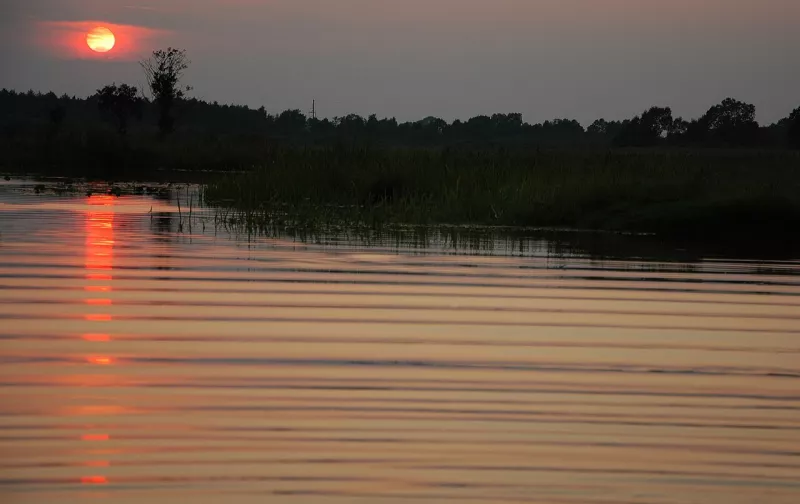
Stokhid is the longest and cleanest river in Volyn. It flows across the entire region from south to northeast, and along a significant part of its course splits into dozens of channels, streams, and oxbow lakes. Hence the name: "a hundred ways" (sto khodiv). For kayaking enthusiasts, the Stokhid is one of the most beautiful rivers in Polissia, and locals call it the Polissian Amazon.
A Hundred Ways
The length of the Stokhid is 188 kilometres, and its basin area exceeds three thousand square kilometres. The river originates near the village of Semyrynske on the northern slopes of the Volyn Upland and flows to the northeast until it empties into the Prypiat near Svalovychi.
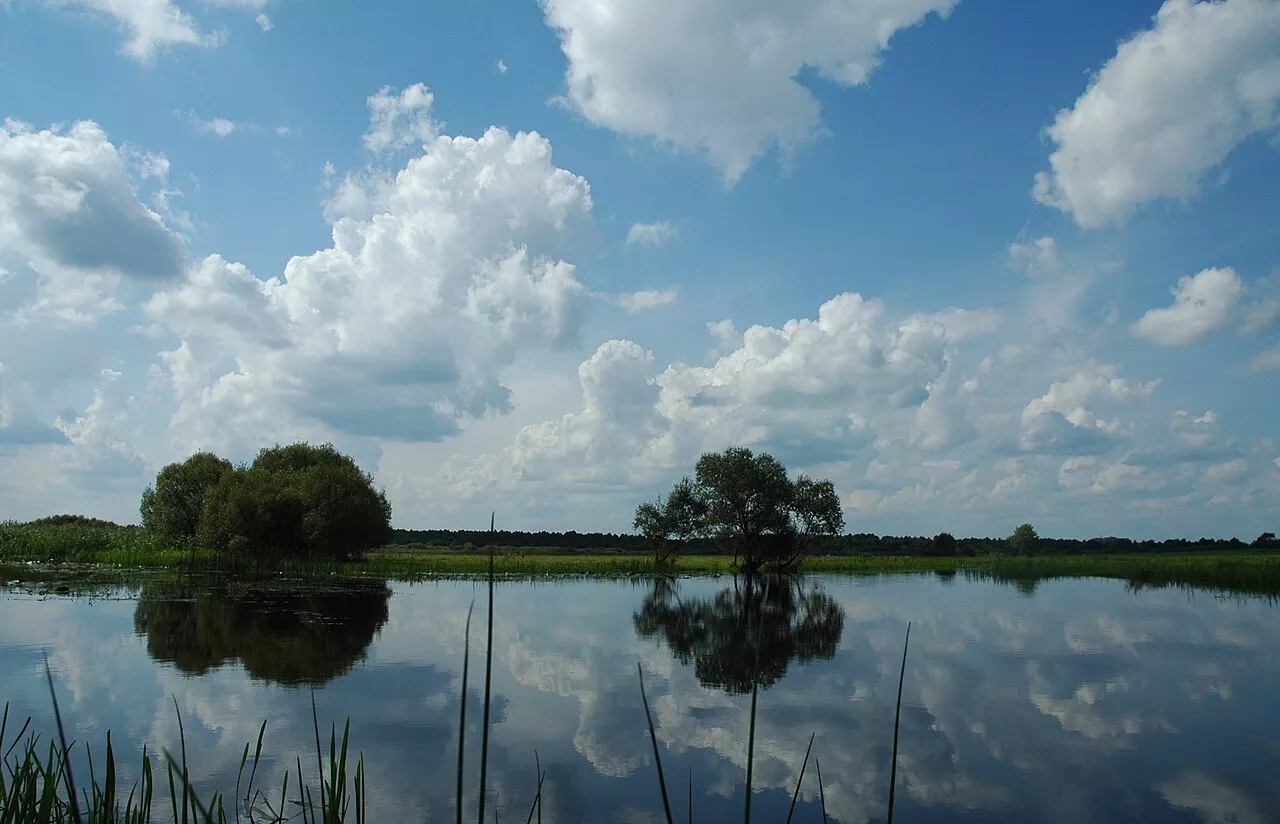
In the upper reaches, the riverbed is still single, 20 to 25 metres wide. But below Zaiachivka, it divides into numerous channels ranging from five to sixty metres in width. Between them lie islands, a marshy floodplain up to two and a half kilometres wide, and countless oxbow lakes. In the reaches, the depth reaches eight metres and more, and the deepest spot — over 16 metres — is between Liubeshiv and Zynovy, where springs bubble up to feed the river.
Kayaking
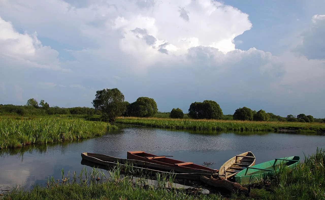
The Stokhid is a favourite river for kayakers. The current here is slow, the water is clean, and the routes pass among reeds, willows, and forests where there are almost no people. The most popular sections are from Chersk, Arsenovychi, or Ivanivka to Hulivka, spanning 30–45 kilometres for two to three days. The main thing is to have a map: in the labyrinth of channels, it is easy to turn the wrong way.
World War I Front
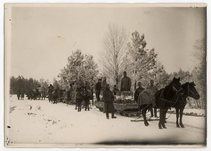
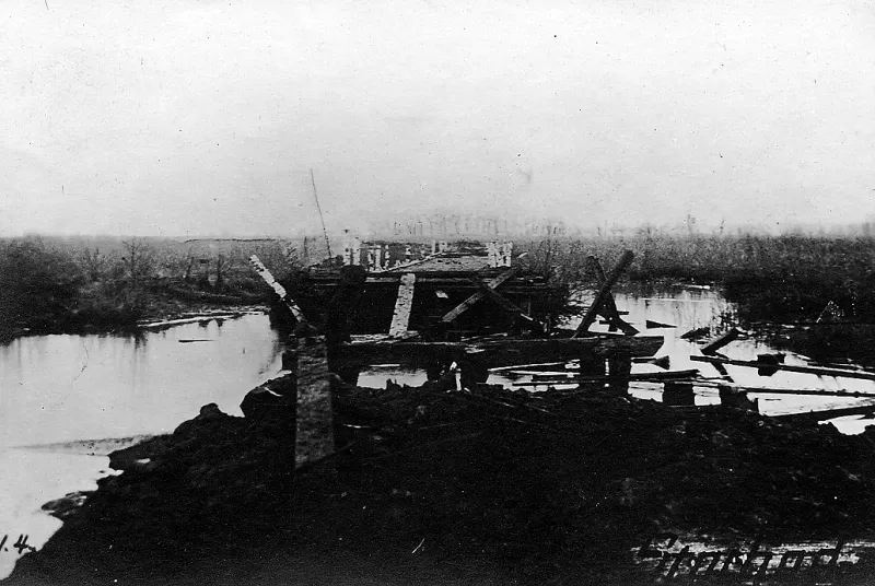
From June 1916 to August 1917, the frontline between Russian and Austro-German troops ran along the Stokhid. After the Brusilov Offensive, the Russian army pushed the enemy back to the river, but failed to break through the Stokhid. Battles here were called the "Stokhid meat grinder", and the surrounding villages were completely destroyed.
On the left bank, concrete pillboxes and trenches of the Austro-German defense line still stand, and an entire fort has been preserved on one of the islands. Narrow-gauge railways once led to the fortifications to deliver ammunition. In the village of Prykladnyky, pillboxes still stand right in vegetable gardens.
Nature and Fish
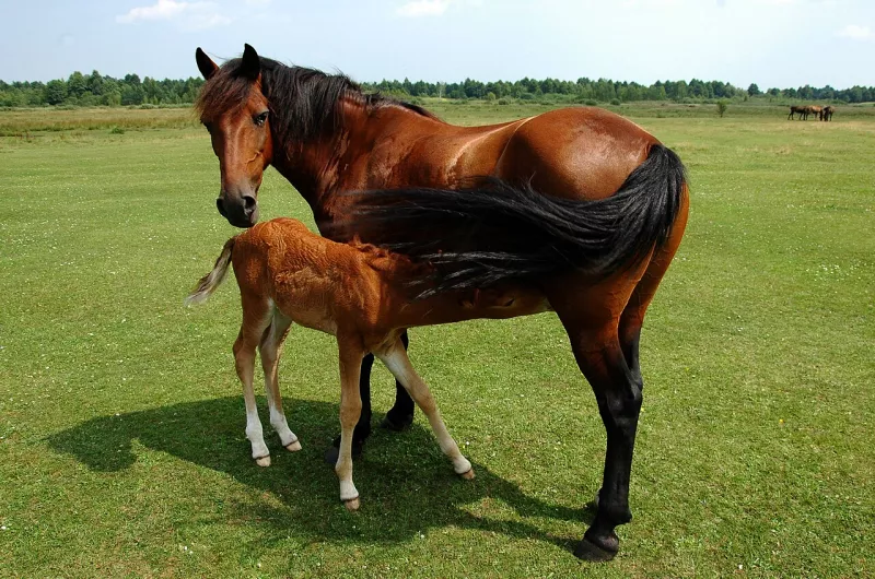
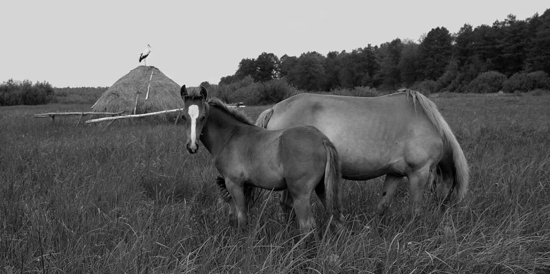
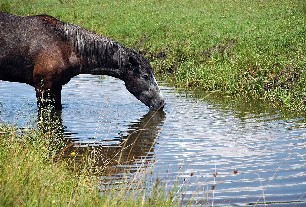
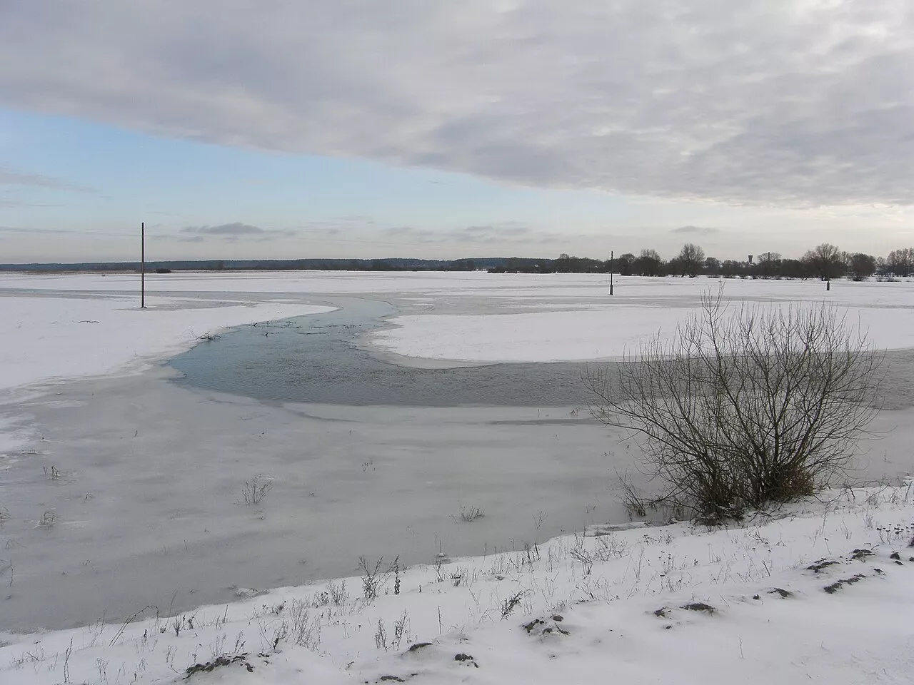
The river flows through the Prypiat-Stokhid National Nature Park. It is home to over thirty species of fish: pike, roach, perch, rudd, bream, crucian carp, and weatherfish. Cows and horses graze in the floodplain meadows, and herons nest along the river. In winter, the Stokhid freezes over in December and thaws in March.
Fishing
There are over thirty species of fish in the Stokhid. The most frequently caught are pike, perch, roach, rudd, bream, crucian carp, and weatherfish. The most interesting fishing is from a boat in the labyrinth of channels and oxbow lakes below Zaiachivka: there are quite a few deep reaches here, and the deepest spot — over 16 metres — is between Liubeshiv and Zynovy. General fishing regulations apply, and starting November 1, fishing in wintering pits is prohibited — list and map of pits.
Stokhid on Video
When to Go
May, June and September are best for kayaking: the water is warm and there are fewer mosquitoes than in July.
Nearby
Liubeshiv is the largest urban-type settlement on the Stokhid, and Prypyat-Stokhid National Nature Park surrounds the lower reaches. More can be found in the article Kamin-Kashyrskyi Raion.
How to Get There
Buses run to Liubeshiv from Lutsk and Kamin-Kashyrskyi. For kayaking, it is more convenient to arrange with local travel agencies that deliver kayaks to the start and pick them up at the finish.