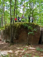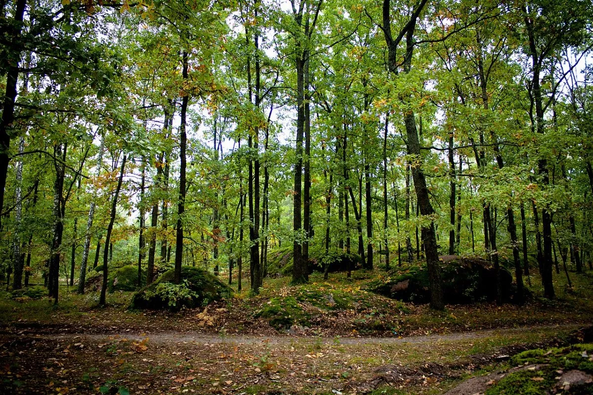
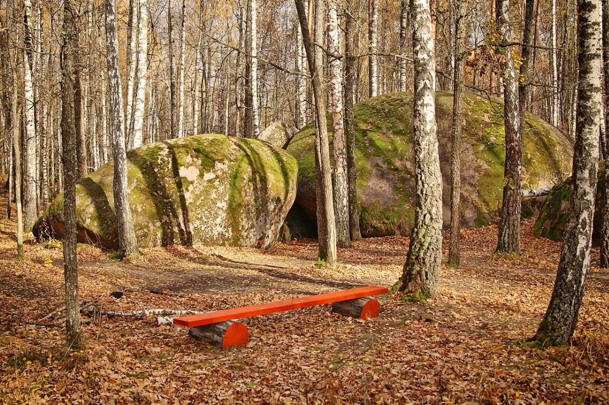
Kaminne Selo is a geological nature reserve covering 15 hectares in a forest east of the village of Rudnia-Zamyslovytska in the Olevsk hromada. Amidst a oak forest with birch, aspen, pine, wild pear, and apple trees, dozens of red granite boulders stand 4 to 6 metres high, which is why this place is called the Ukrainian Stonehenge. There is no separate marked eco-trail here, but a loop about a kilometre long leads from the parking area between the rocks along forest paths. An hour is enough for it, although people usually linger here longer.
What is on the trail
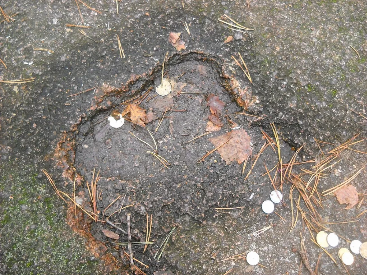
From the informational sign about the reserve, the trail enters the main cluster of boulders. Locals say the stones resemble houses, a square, a school, and a church, hence the name "village" (selo). Further on, it leads south to the most famous rock, Bozhyi Kamin (God's Stone), with three depressions known as the "Footprints of God". A ladder is propped up against it, and visitors place coins in the "footprints". Nearby lies the split-off "Devil's Stone"; it is believed that passing between them rejuvenates and cleanses one of sins. The loop returns past a campfire site and a picnic area to the second parking spot.
Legends
According to legend, the depression on God's Stone is a footprint left by the Devil when God cast him down into hell. Another legend tells of a wealthy village that turned to stone because it refused bread to hungry neighbours. Local historian Yurii Khalimonchuk emphasises something else: this granite is over two billion years old.
Where the boulders came from
It was once believed that the stones were brought by a glacier, but geologists reject this version: there are no glacial deposits nearby. Most likely, these are remnants of the Ukrainian Shield — granites identical to the local bedrock, from which water and wind washed away softer layers over millions of years. Relict ferns and stonecrop grow on the rocks, while the forest is home to the red-listed spiny clubmoss and the Turk's-cap lily.
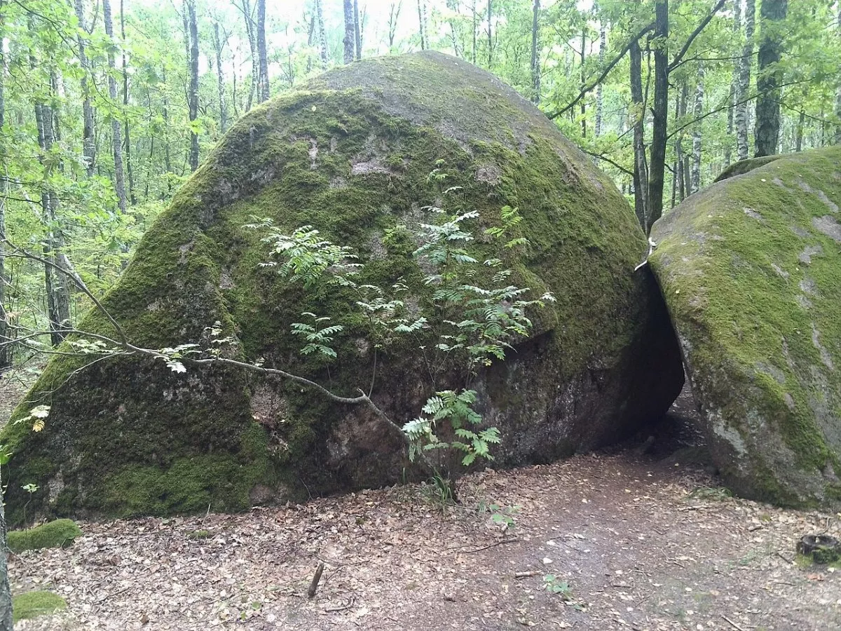
Moss on the boulders is part of this beauty: in 2020, vandals tried to peel it off. Do not climb the rocks without a ladder and do not tear off the moss.
How to get there
Rudnia-Zamyslovytska lies northeast of Olevsk, a forest road from the village leads to the reserve, and there are two parking areas. It is about 170 km from Zhytomyr. The reserve is located approximately 29 km from the border with Belarus, near the edge of the 30-kilometre zone where forest visits are restricted, so before your trip, check with the Olevsk hromada or the forestry office to see if access is open.