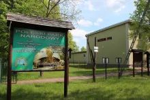
This black-marked hiking trail crosses Polesie National Park from south to north: from Stare Załucze, where the park's Education and Museum Centre is located, to Pieszowola with its fish ponds. Along the way, it passes through Zawadówka, Wola Wereszczyńska, the Łomnica settlement and Lipniak, and goes past several of the park's educational trails. Our track is 18.5 km long, the route is linear, so you should allow 5–6 hours of walking and think about your return journey in advance.
A park created for swamps
Polesie National Park was established on May 1, 1990. It covers about 9.8 thousand hectares of the Łęczna-Włodawa Lake District and protects peat bogs, swampy forests and small dystrophic lakes. The relict European pond turtle lives here (in Urszulin the park has a centre where its juveniles spend the winter), and the aquatic warbler nests in the sedge meadows: this is one of its largest populations in Poland. The flora includes about a thousand species of vascular plants, 81 of which are under protection.
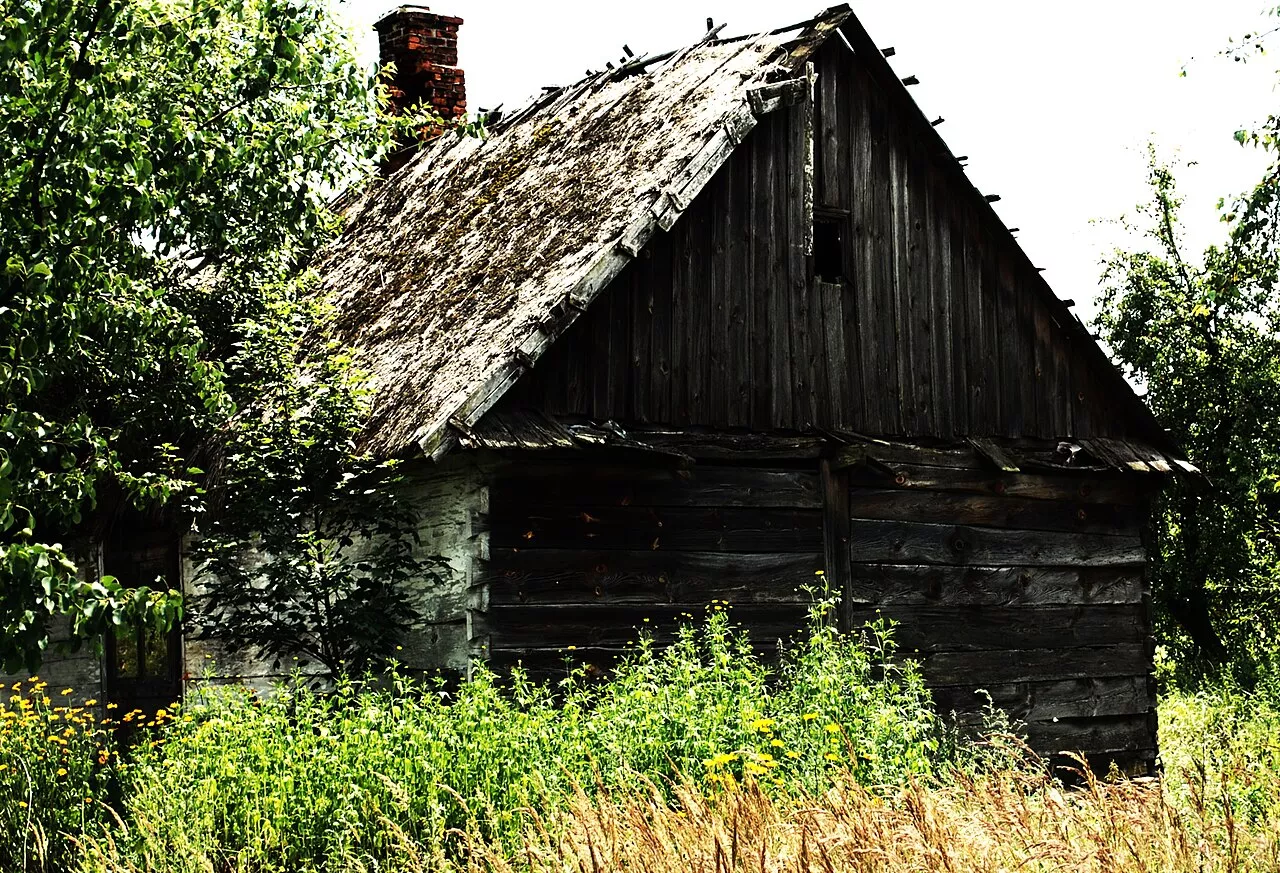
The first part of the trail leads from Stare Załucze northwards to Zawadówka along forest roads and sections of wooden boardwalks over wet areas. To the west of this section lies Lake Łukie, which the trail „Spławy” leads to. Zawadówka itself is a scattered Polissian village where old wooden houses can still be found.
Wola Wereszczyńska, Łomnica and Lake Moszne
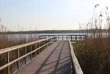
Past Zawadówka, the trail reaches Wola Wereszczyńska and the poviat road to Sosnowica, and beyond it, near the Łomnica settlement, passes the parking lot where the trail „Dąb Dominik” begins. It leads to Lake Moszne — a dystrophic lake with an area of 17 hectares and a depth of up to 17 meters. It is surrounded by a mat of quaking bog, a floating peat carpet 80–150 meters wide, so a boardwalk has been laid to the open water. It is about a kilometre from the trail to the lake.
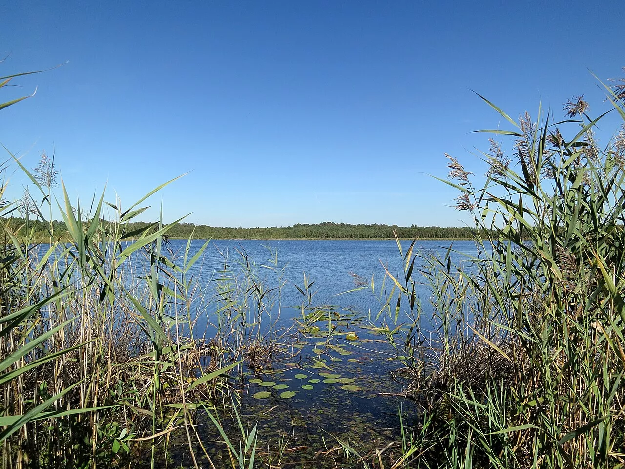
Lipniak and the Pieszowola ponds
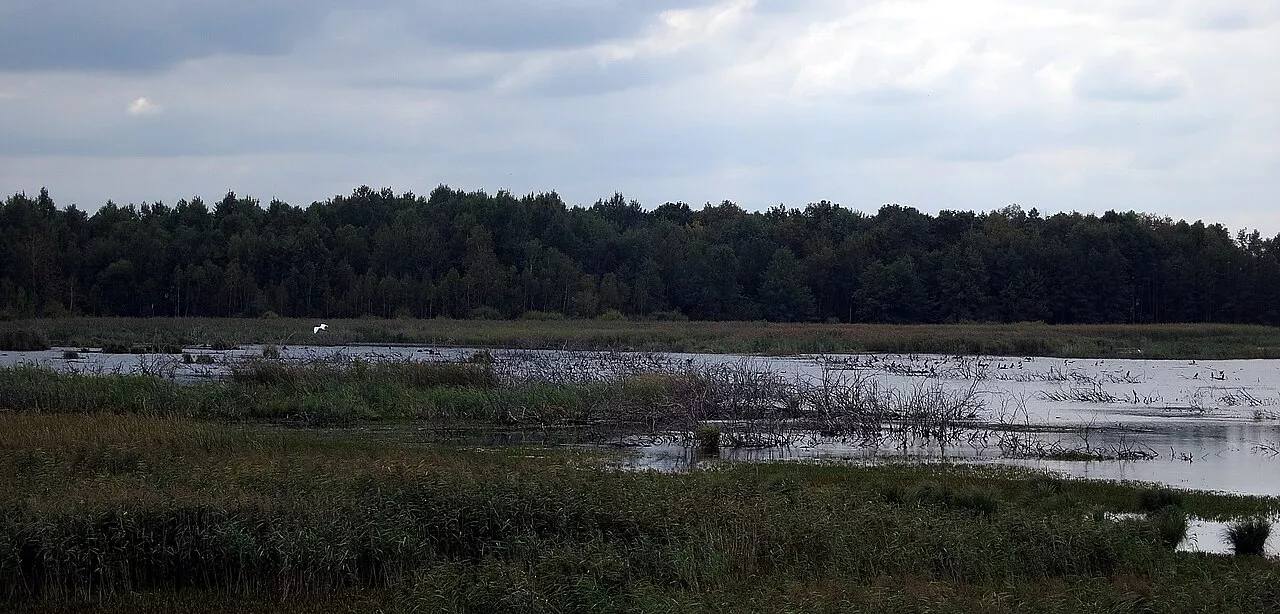
Further on, the path runs through the Szałowily hamlet and the Wola Wereszczyńska settlement, crosses the park boundary and leads along forest fire roads to Lipniak. Near this village, the trail „Obóz Powstańczy” begins: according to the park, there was a large insurgent camp here from the January Uprising of 1863. The final kilometres lead through the forest to Pieszowola. Here lie the Pieszowola Ponds, and around them runs the ornithological trail „Perehod” with an observation tower. In spring and autumn, hundreds of waterfowl and marsh birds gather on the water.
How to get there and what to consider
Stare Załucze lies about 6 km west of Urszulin. Urszulin is located on route no. 82 Lublin – Włodawa, and there is bus connection with Lublin. Free parking is available near the park museum, but the museum itself is currently closed for renovations. Pieszowola belongs to the Sosnowica gmina, and there is almost no public transport there. Therefore, for a linear route, it is most convenient to use two cars, a transfer or an arrangement to be picked up.
Some of the roads are dirt and can become muddy after rain or spring floods, and the boardwalks are slippery. In summer, there are many mosquitoes near the swamps, and ticks can be found in the grass. April–May and September–October are best for birds. Admission to the park area is free, but tickets are sold for the park's five educational trails: as of autumn 2026, 7 PLN for a single trail, 16 PLN for a day pass for all. You can buy them online or at the park headquarters in Urszulin. No ticket is required for the marked trail itself.
This is Poland: Ukrainian citizens need a foreign passport.