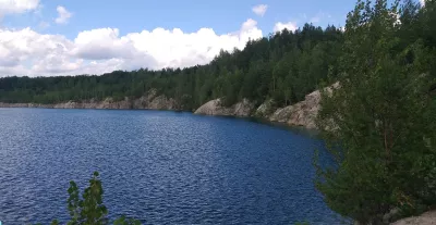
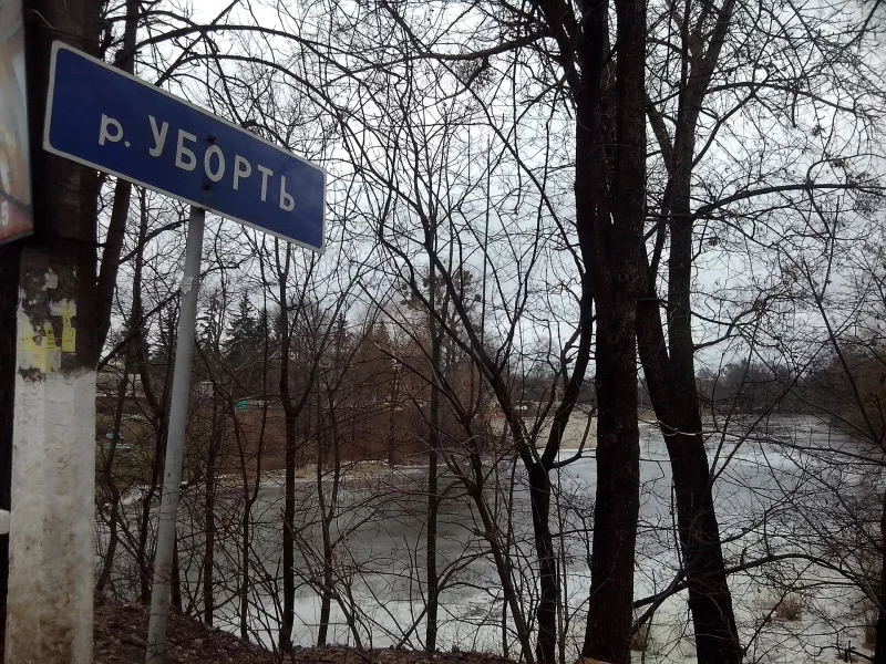
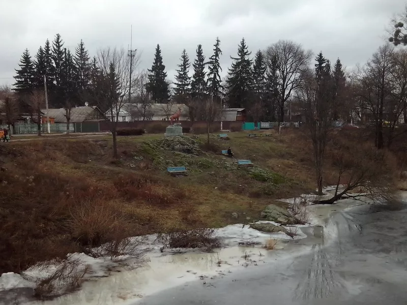
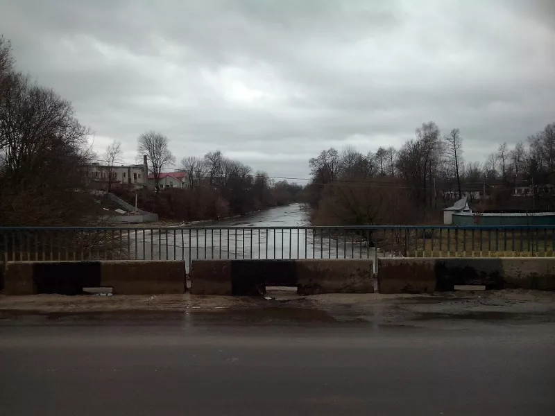
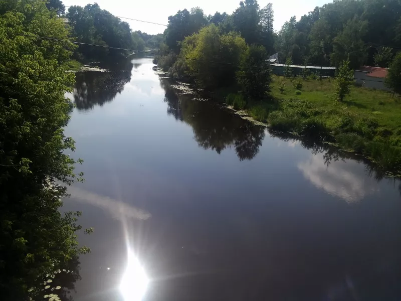

Ubort is a river in the Zhytomyr Polissia region, a right tributary of the Prypiat. It begins near the village of Yablunivka in the Zviahel district, flows through the Korosten district and Olevsk, and then into the Gomel region of Belarus, where it flows into the Prypiat 2 km south of Petrykov. The length of the Ubort is 292 km, and its basin area is 5,820 km².
What kind of river it is
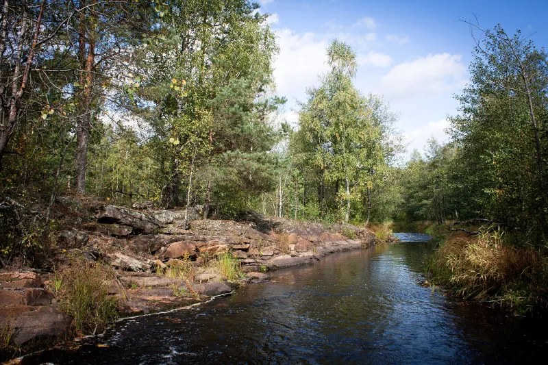
The Ubort flows slowly across the Polissia lowland, with a gentle slope. In the upper reaches, the channel is 10–15 m wide, and in the lower reaches, 50–60 m. The valley is almost everywhere indistinct, the floodplain is swampy, with numerous oxbow lakes and land-reclamation channels. The channel is very winding, forming meanders and islands in the lower course. The river has the highest water levels in spring: the flood provides up to half of the annual runoff.
As early as 1925, Polissia researcher Pavlo Tutkovsky dedicated a separate work to the banks of the Ubort.
Fish and lamprey
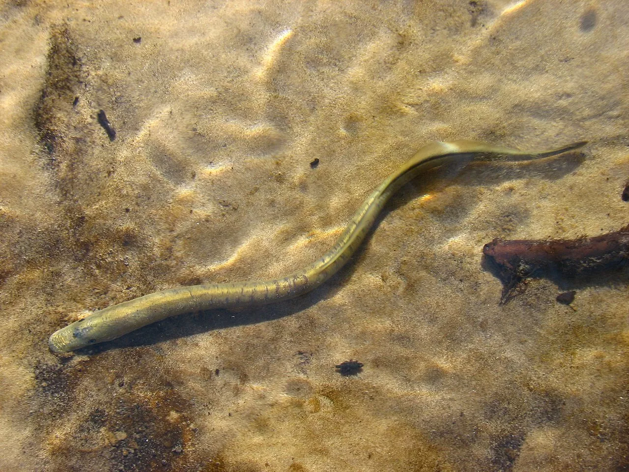
The Ubort is important for the conservation of native fish species: roach, riffle bleak, perch, gudgeon, and stone loach live here. You can also still encounter the Ukrainian brook lamprey, an ancient fish-like creature that has disappeared from many polluted rivers.
Paddling and recreation
The winding Ubort with its forested banks is popular among kayaking enthusiasts — for example, from Olevsk downstream to Maidan Kopyshchenskyi. Such trips are usually organized in late May or early June, while the water is still high.
How to get there
The most convenient place to see the Ubort is in Olevsk: the town stands on its banks, and trains on the Korosten — Sarny line run here. Nearby are the St. Nicholas Church of 1596, Olevsk Landscape Reserve, and Poyaskivskyi Landscape Reserve.