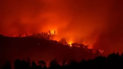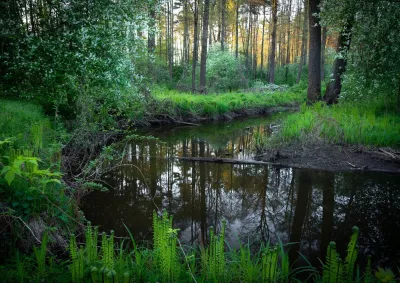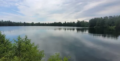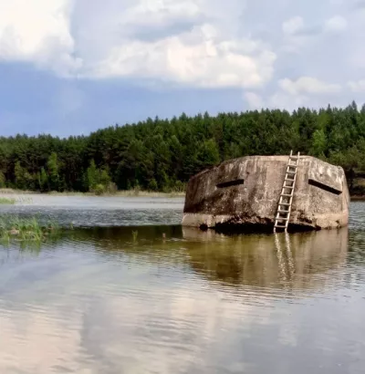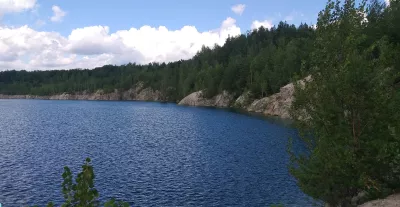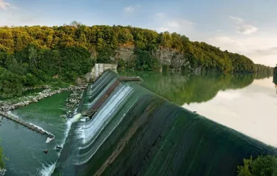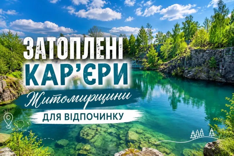

The Zhytomyr region is, above all, stone. Granite, labradorite, gabbro, quartzite: for centuries, blocks were carved from the ground here and later laid into city cobblestones, foundations and monuments. And when quarrying stopped, water gradually gathered in the vast stone basins — meltwater, rainwater, water from underground springs. That is how industrial wounds turned into some of the cleanest bodies of water in the country.
Today the region's flooded quarries are a genuine tourist resource: people come here to swim, camp, take photos, climb the cliffs and dive with scuba gear. In an all-Ukrainian list of waters suitable for diving, published in summer 2026 by the Rybalka.club platform, four of the 13 locations are in the Korosten district of the Zhytomyr region — and first place in the entire country goes to a quarry within Zhytomyr itself.
Sokolivskyi quarry: Ukraine's deepest freshwater body
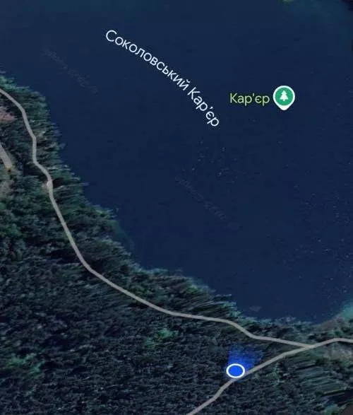
Where: Zhytomyr. Coordinates — Як доїхати. Depth: up to about 110 metres according to Wikipedia; freedivers' echo sounders showed around 101 metres.
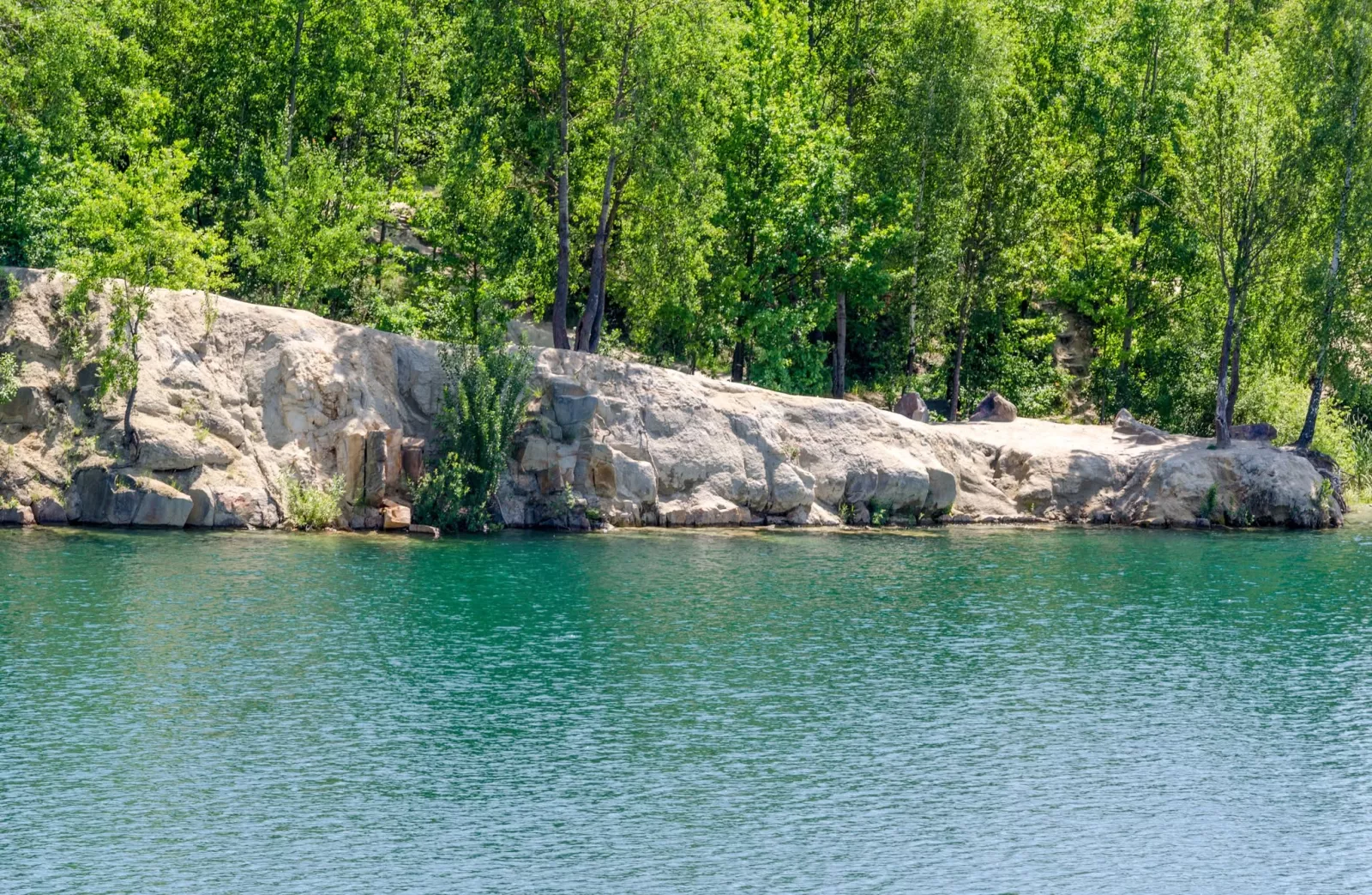
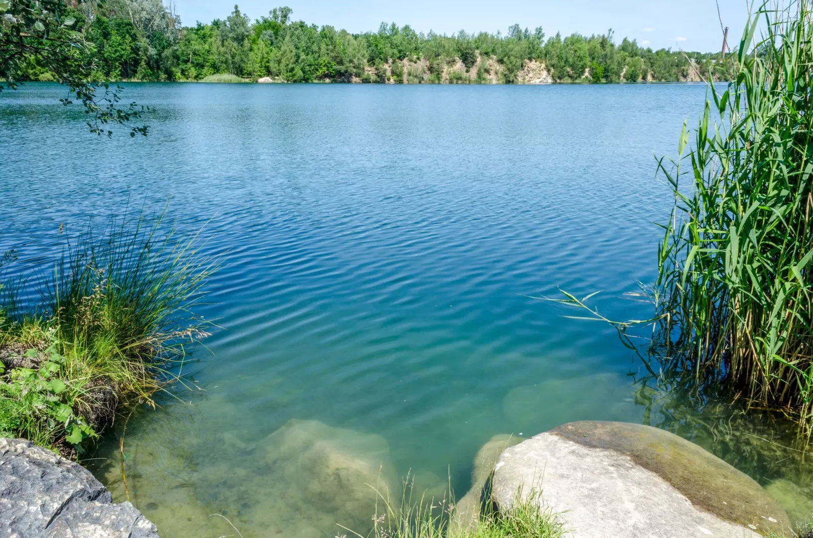
We begin with the record-holder. This flooded granite quarry within the regional capital is the deepest freshwater quarry in Ukraine. A Ukrainian technical-diving portal once cited a figure of 104 metres in winter, while in the centre of the quarry the instrument read 99.8 metres.
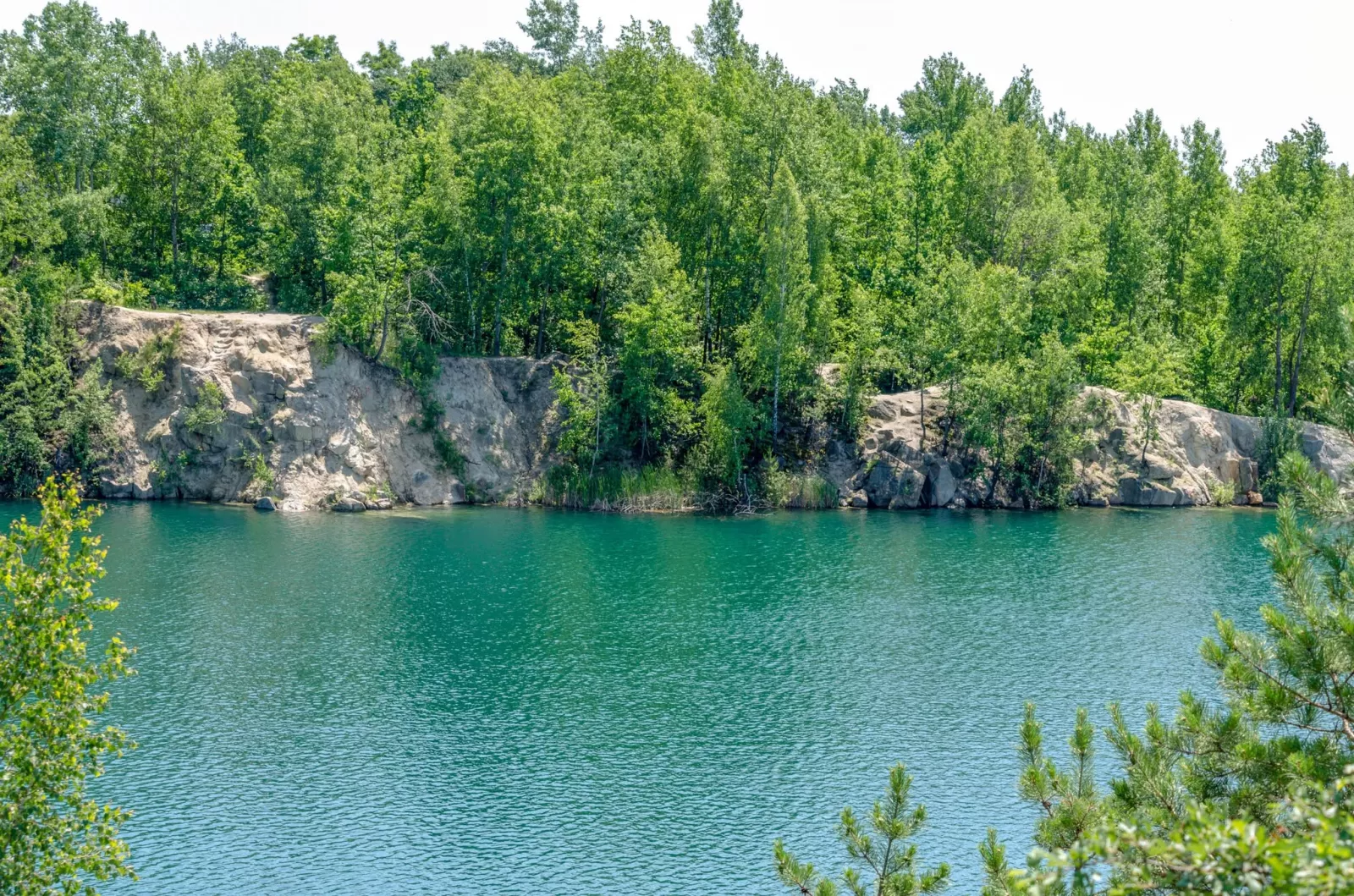
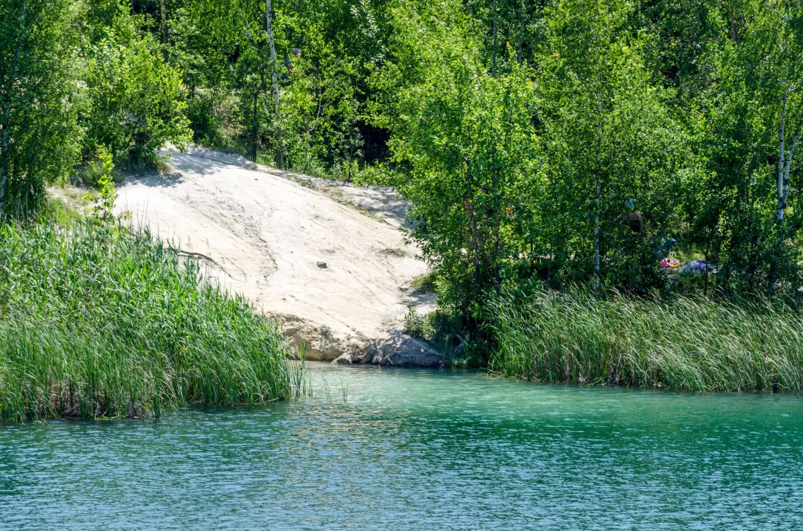
The Sokolivskyi quarry has long been one of the Zhytomyr region's best-known spots for scuba diving. Thanks to its clear water, considerable depth and picturesque underwater relief, it regularly draws divers from every corner of Ukraine.
Freediving competitions are held here, and divers have reached depths of 45–90 metres. Visibility is 8–10 metres, but natural light fades at around 35 metres: below that you need lamps and serious training.
Underwater lies a real forest: divers describe the dive as swimming among dense, submerged trees. For a long time a Zhiguli car sat on the bottom, but it was raised because fuel and oil were leaking from it. Local rumour tells of a sunken excavator — with no confirmation. Another legend concerns an "anomalous zone" where instruments supposedly stop working.
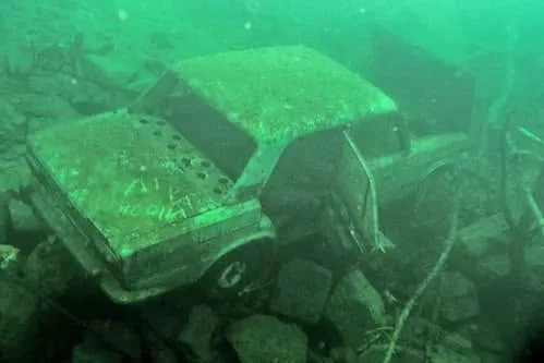
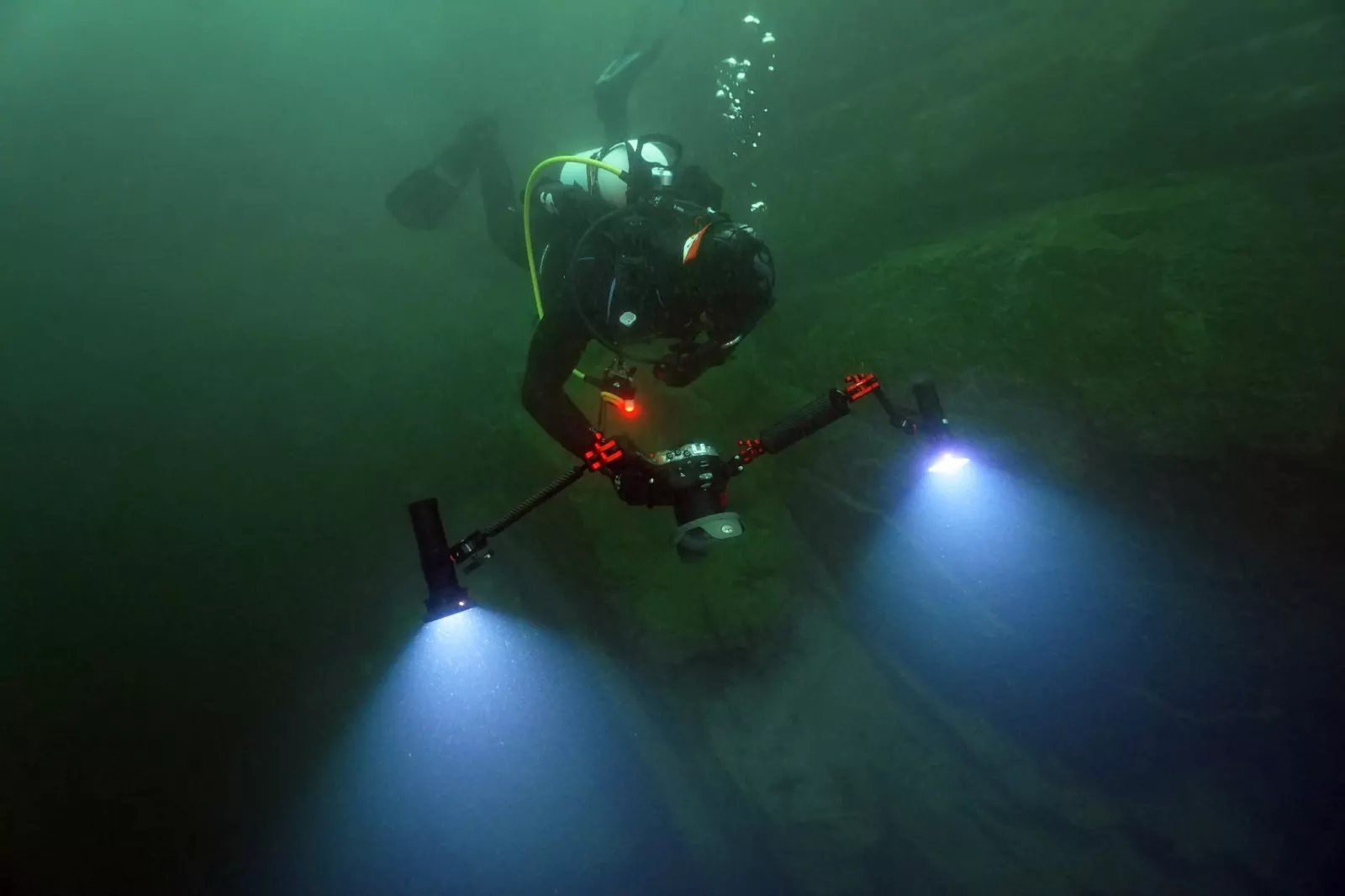
At one time the quarry was visited by members of the D2U Club, who carried out training and research dives here. For them it was a chance not only to hone their diving skills but also to get better acquainted with the unique underwater world of the Sokolivskyi quarry.
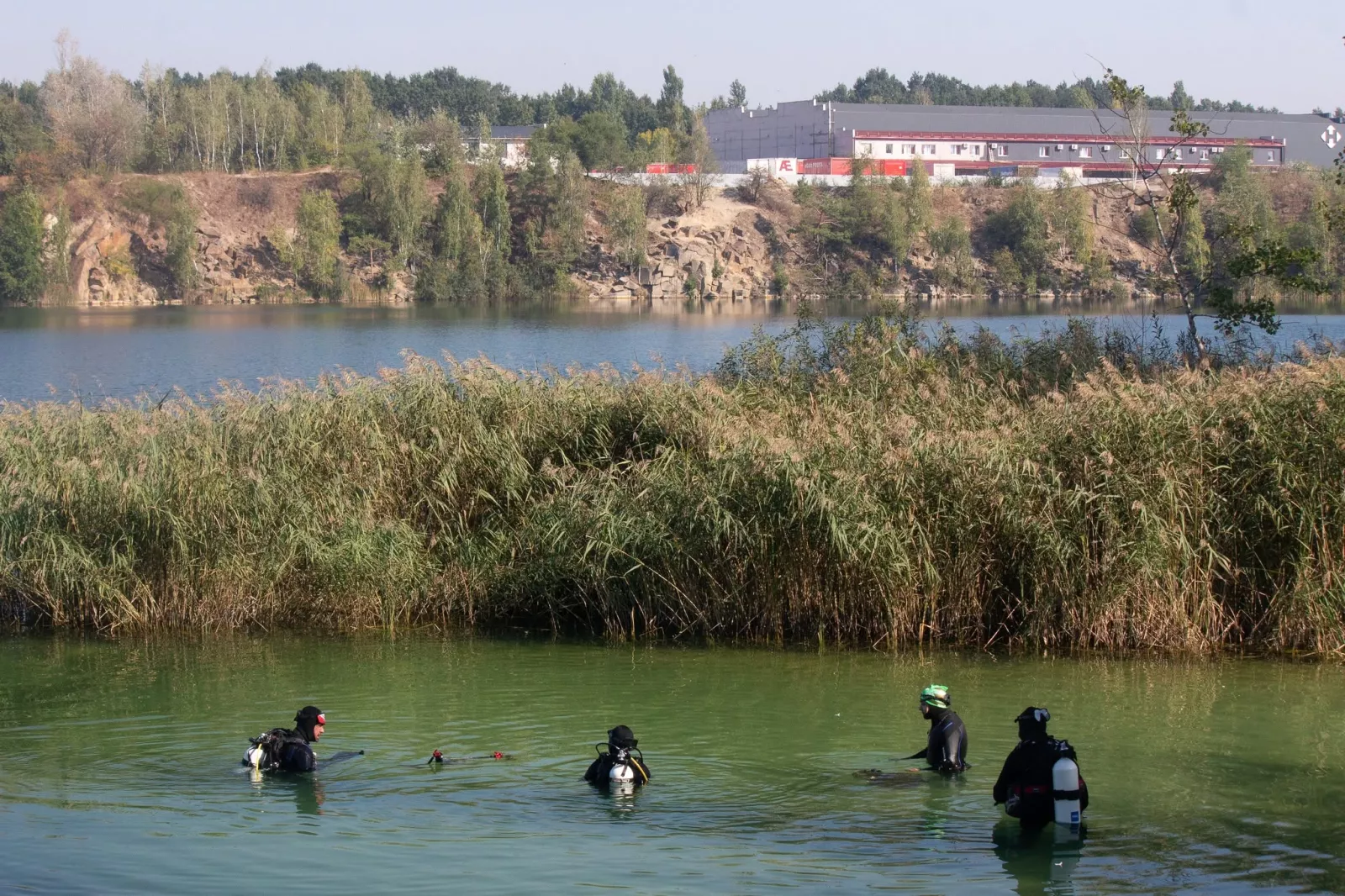
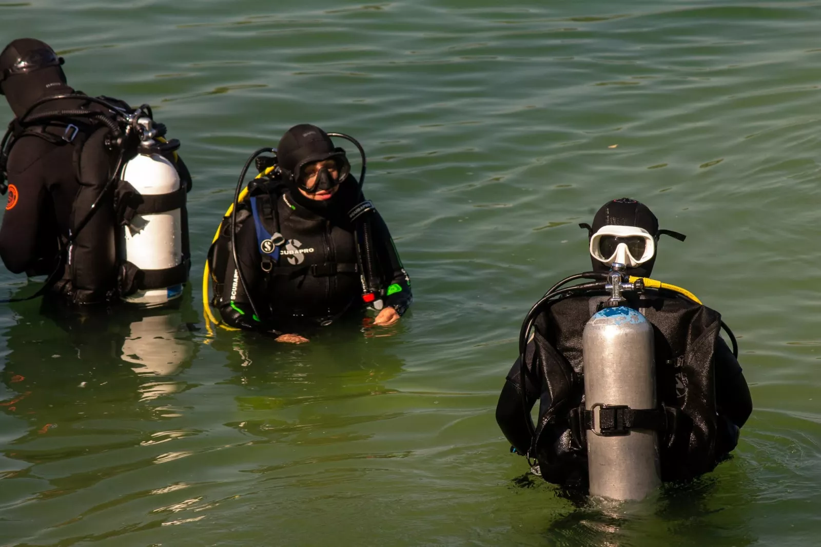
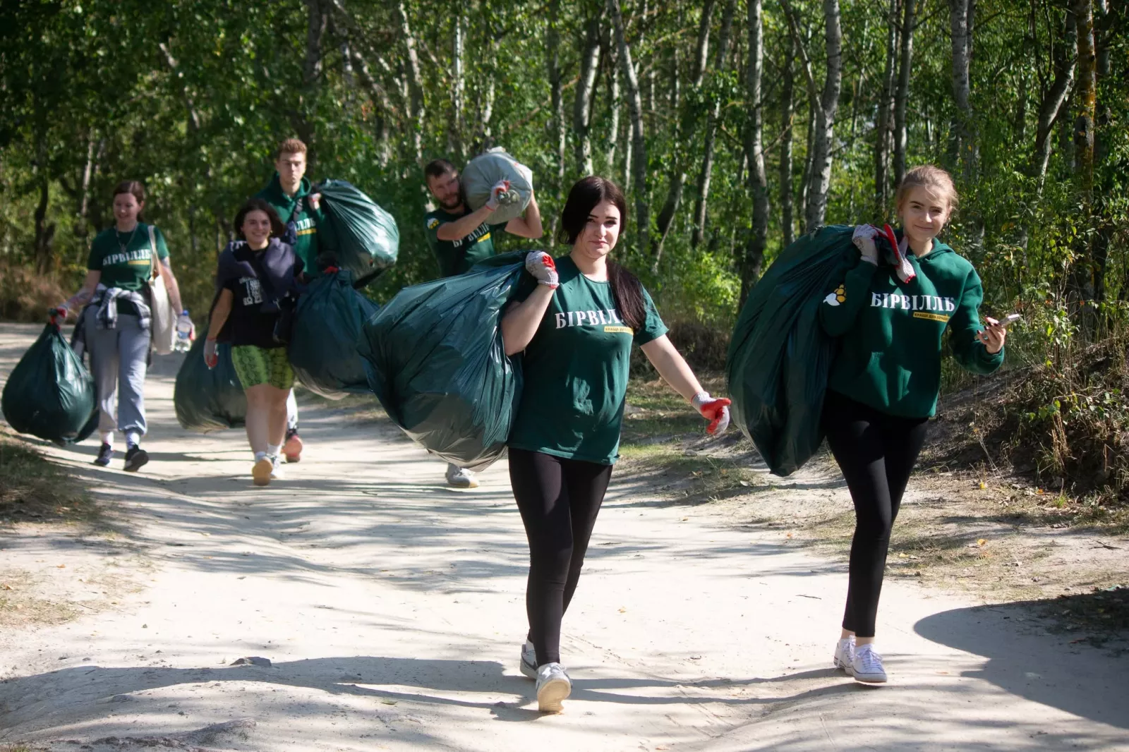
During their visits the divers did not limit themselves to diving alone. They stressed the importance of treating nature with care and took part in clearing rubbish left behind by holidaymakers. Such initiatives proved once again that diving is not merely a hobby but a way to contribute to preserving the Zhytomyr region's natural gems.
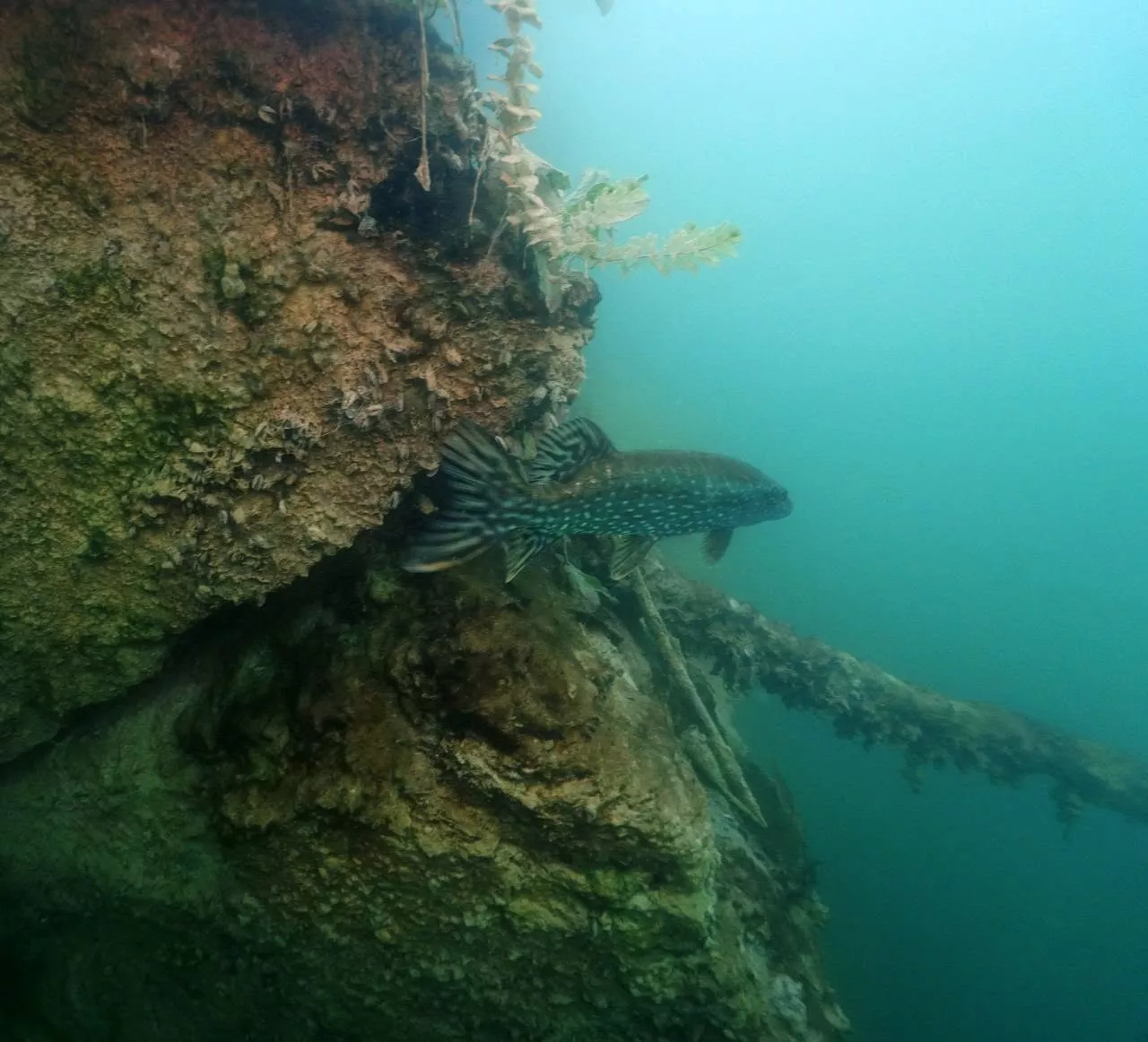
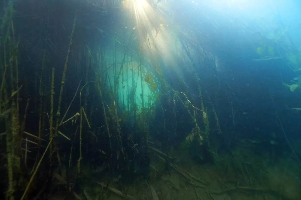
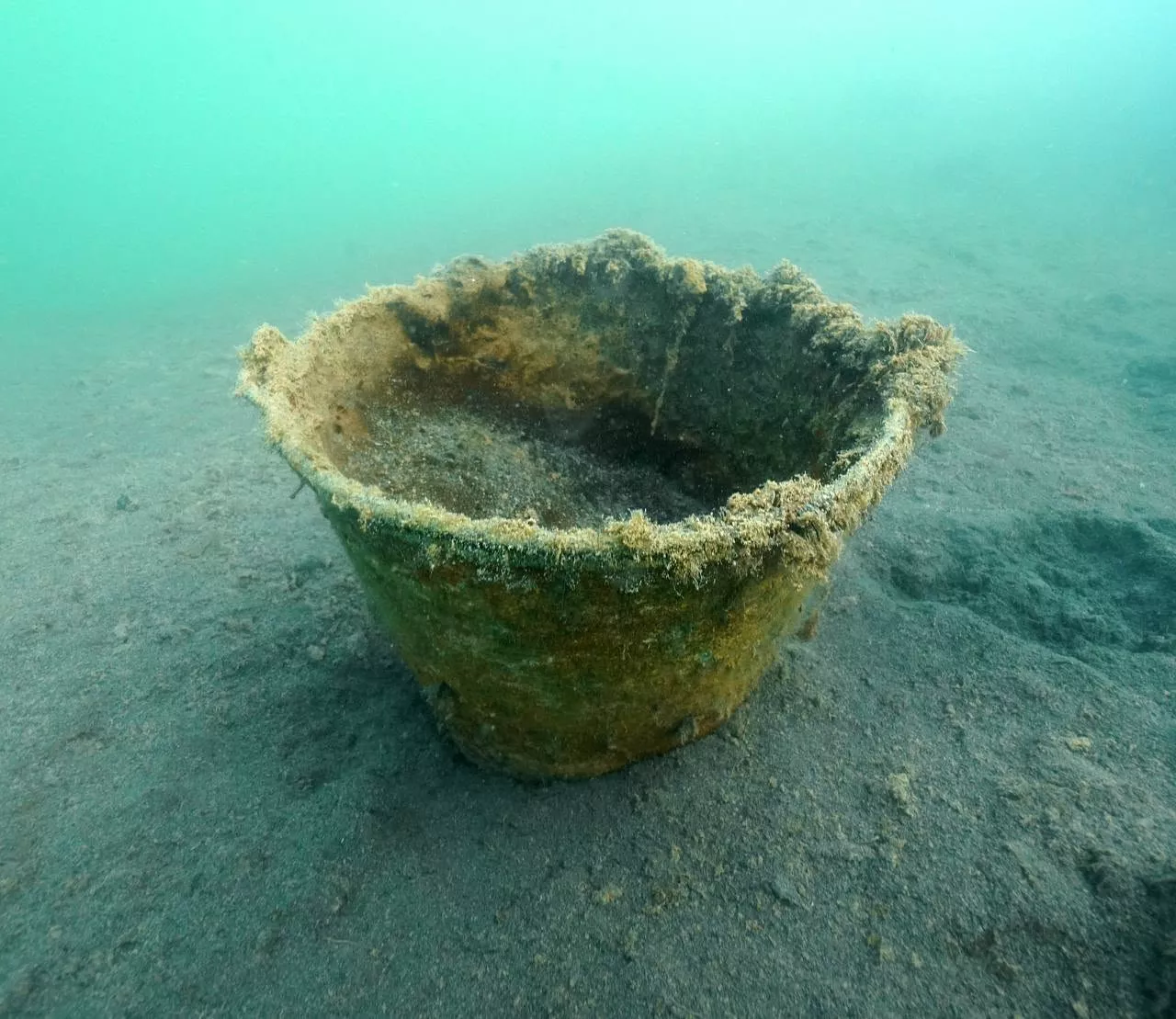
During the event the divers also met activists from the "Birvil" civic organisation, who were working to protect natural heritage. This chance encounter was another reminder that a clean environment depends on everyone, and that the combined efforts of people who care can change nature for the better.
There are no official beaches here, but there are cliffs from which people jump from heights of 10–15 metres. Over the course of a summer, more than 50,000 holidaymakers come to the quarry — and this is the main problem: locals complain of mountains of rubbish after the weekends.
Photo: Taras Oreshnikov
Pashynskyi quarry: 54 metres and granite "spirals" near Korosten
Where: the Pashyny neighbourhood, 3 km from Korosten. Coordinates — Як доїхати. Also known as Malodyvlynskyi. Depth: up to 54 metres. From Kyiv: about 150 km.
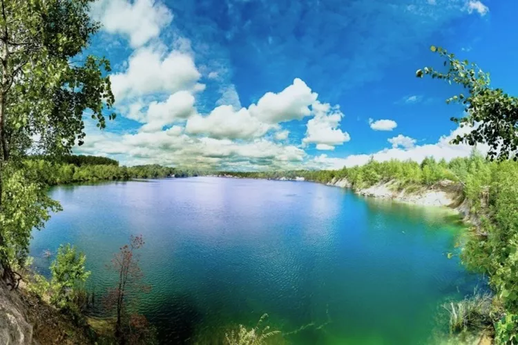
The Pashynskyi quarry is already known not only among tourists but among divers too. It is the deepest "diveable" body of water in the Korosten district and the highest-ranked of the Zhytomyr locations in the all-Ukrainian diving rating. Members of the Kyiv diving club D2U Club dived here and published a video report of their expedition. According to the club, the maximum dive depth reached 46.3 metres, the water temperature near the bottom was about +5°C, and the quarry itself drew attention with its clear water, granite relief and the variety of its underwater world.
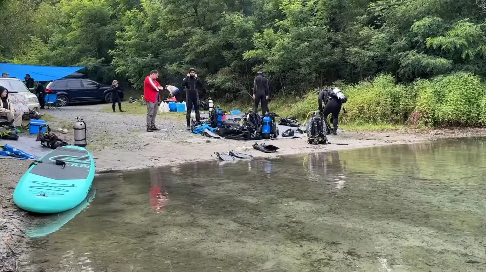
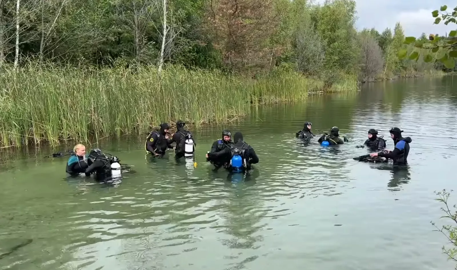
During one dive the divers recorded some intriguing features of the Pashynskyi quarry. According to the expedition members, unusual vistas open up underwater: enormous granite blocks with bizarre natural patterns, curious "fields" of bubbles, and landscapes they compared to the surface of another planet. Rock samples brought up from the depths were checked with a dosimeter — the readings showed only the natural radiation background. No less pleasant a surprise was the shallow part of the quarry, where the clear water lets you watch a great many pike and other fish.
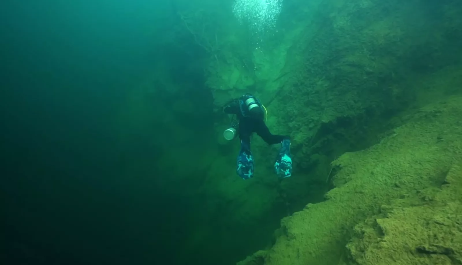
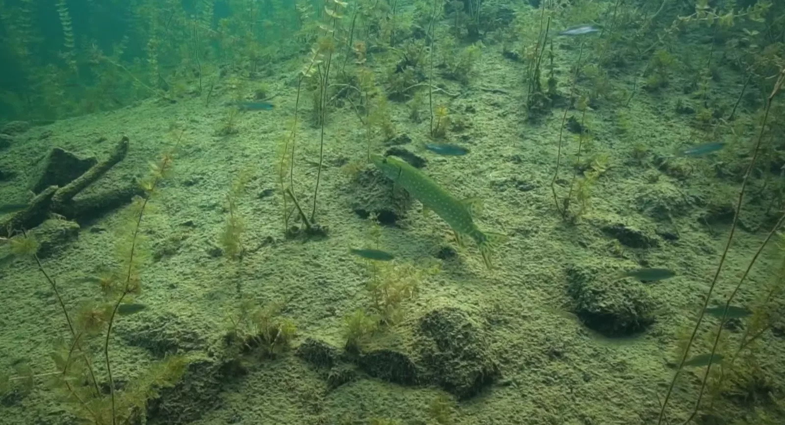
The former granite quarry was flooded by groundwater. Underwater, the characteristic ledges the divers call "spirals" have survived, along with drop-offs, platforms and submerged forest plantings. The water is very clean; in winter, visibility in places reaches 20 metres, because in the cold season it does not bloom.
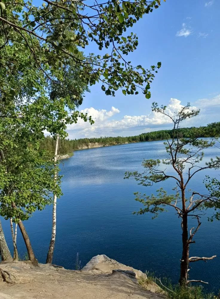
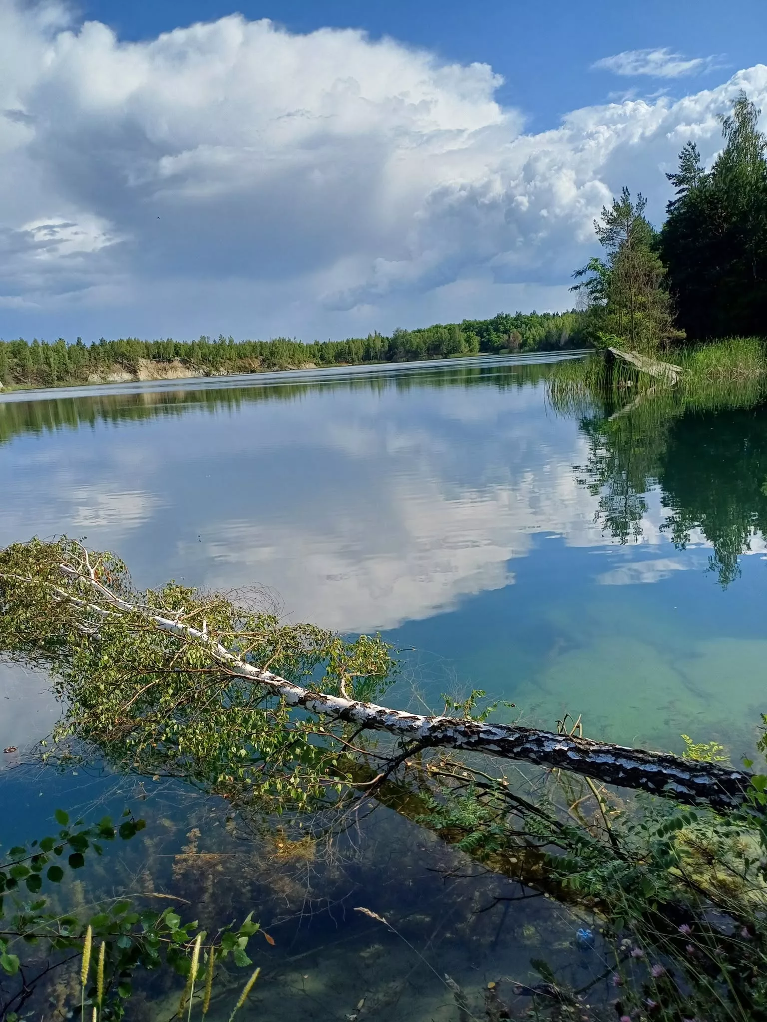
Above the water are cliffs up to 30 metres high, on which climbers train. The quarry is oval in shape, with rocky banks.
The main caveat: the place is utterly wild. No infrastructure, no lifeguards — you have to bring all your gear and safety equipment with you.
Getting there: by car — along the E373/M07 highway to Korosten. By public transport — by train to Korosten, then local transport or on foot.
The Pashynskyi quarry is first and foremost a natural location without developed tourist infrastructure, so it is worth coming here for the scenic views, clean water and a quiet rest in nature. When planning a trip, it is best to bring everything you need in advance — drinking water, food, sun protection, a first-aid kit and a rubbish bag, since on site you will have to rely above all on your own preparation.
Dibrovskyi quarry: sunken machinery on the bottom
Where: the Korosten district (formerly the Olevsk area), near the village of Dibrova. Coordinates — Як доїхати. Depth: up to 30 metres. Area: over 27 hectares. From Kyiv: about 219 km.
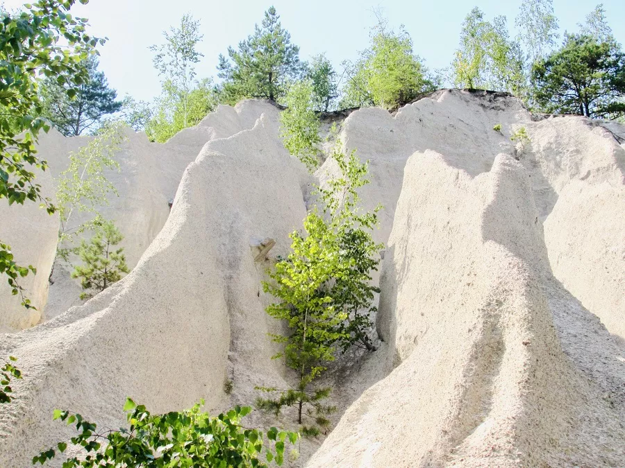
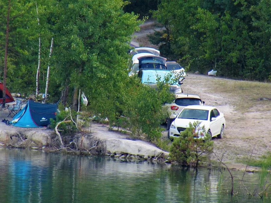
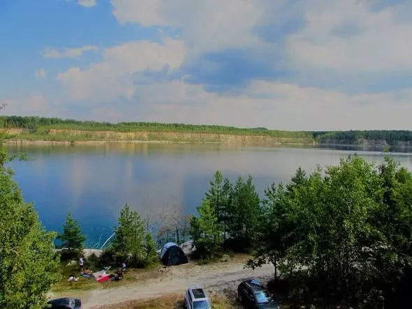
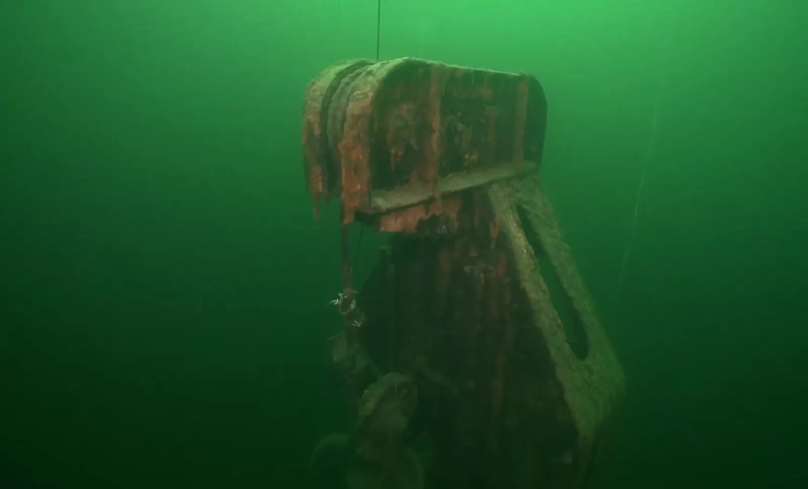
If the Pashynskyi is prized for its depth, the Dibrovskyi is prized for what lies on its bottom. It is an industrial museum underwater:
- at a depth of about 30 metres — a transformer station;
- at 12 metres — an object the divers call "the watchtower";
- across the water — sunken drilling machines, old mechanisms, fragments of former infrastructure;
- plus sharp granite blocks, submerged trees and cliffs.
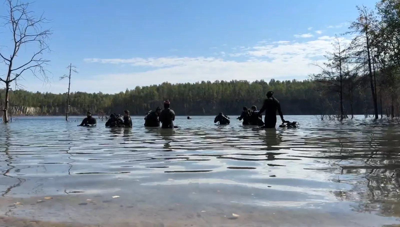
The Dibrovskyi quarry has long drawn the attention of divers from Ukraine and neighbouring countries thanks to its clear water (divers from various regions of Ukraine come here regularly, and before the full-scale war, clubs from Belarus visited too), considerable depth and unusual underwater relief. One of the best-known expeditions was a 2015 dive during which divers surveyed the bottom and mapped the locations of objects left behind after granite extraction ended. At a depth of about 30 metres they found two drilling rigs and a transformer substation, and at about 12 metres, the building of a former guard post. These finds became a kind of underwater landmark for the quarry and still hold interest for lovers of diving and underwater exploration.
The water temperature stays within 17–20°C depending on the season. The water is cleanest in spring; in places you come across rebar and scrap metal, so caution is needed.
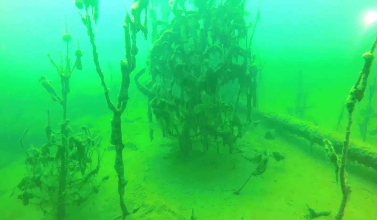
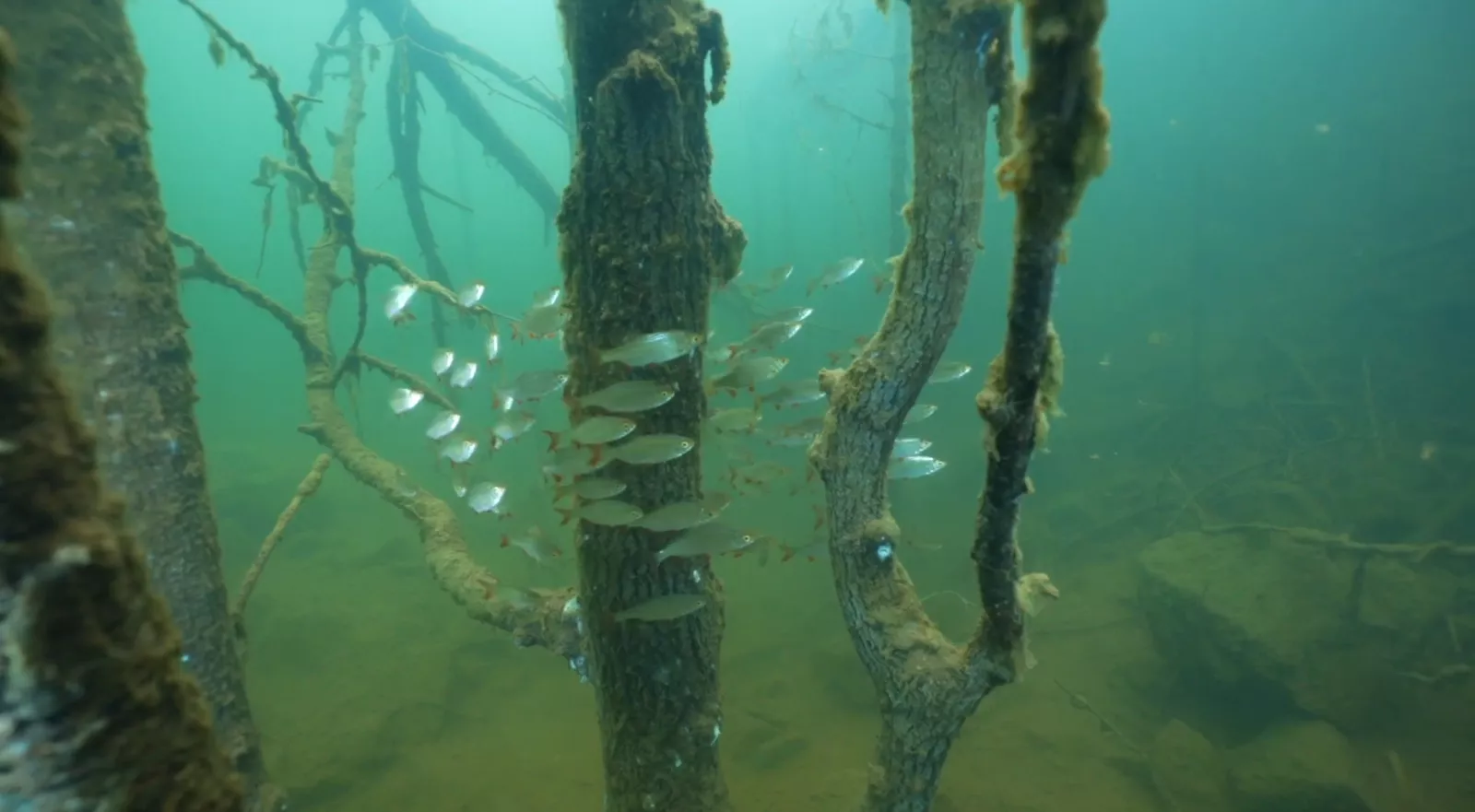
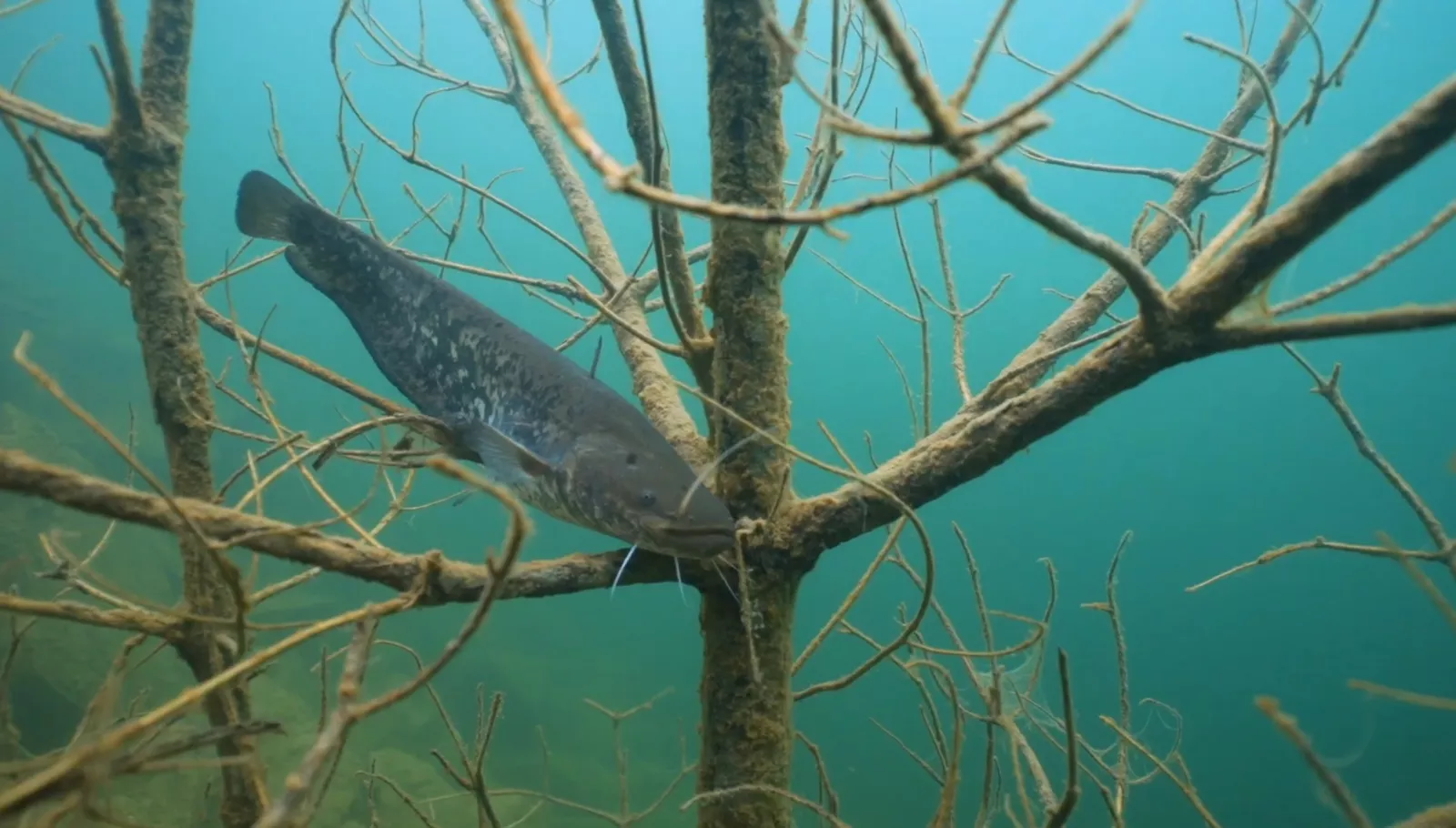
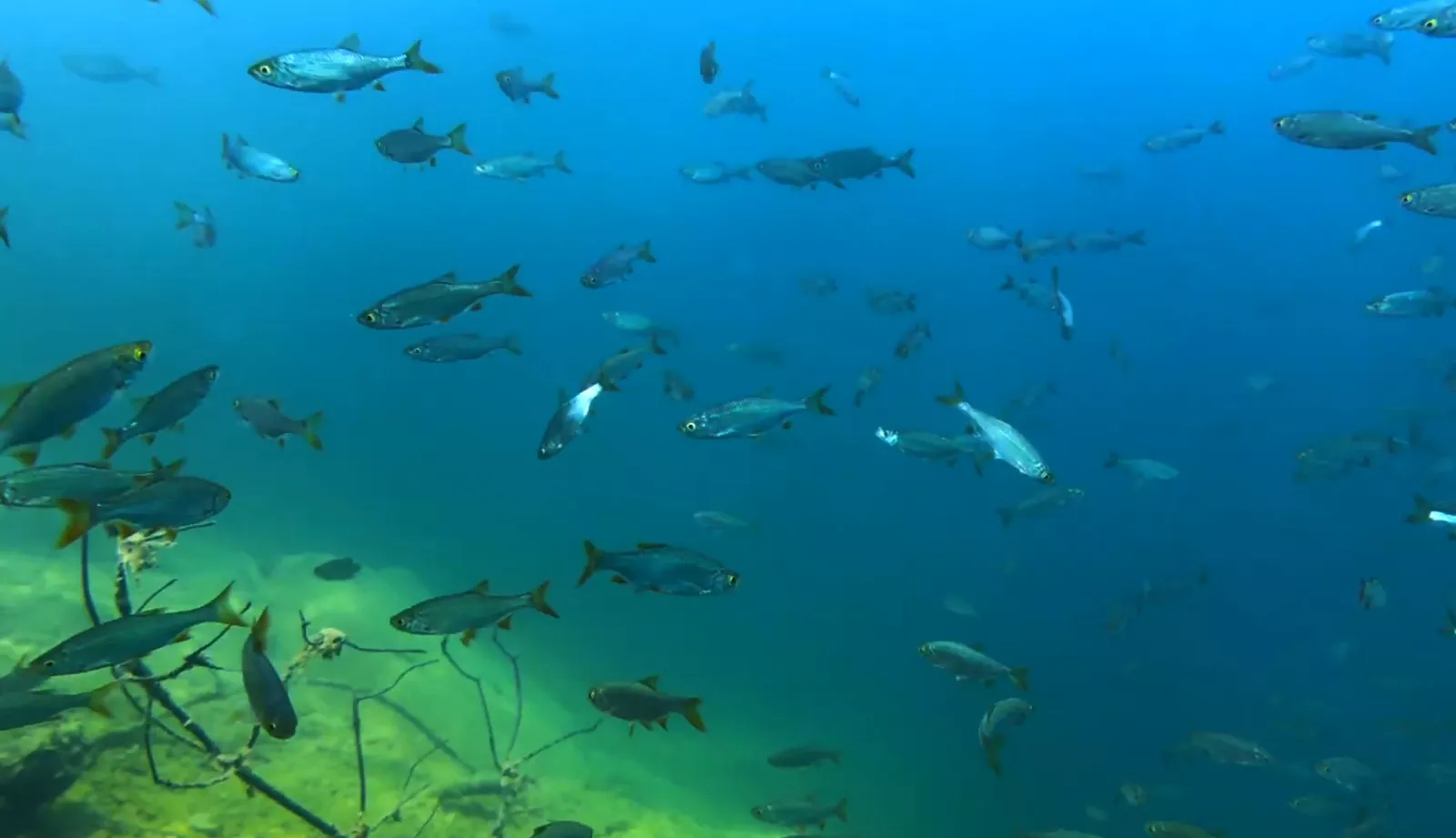
Underwater you can also see a submerged forest, large granite blocks, the quarry's ledges and the characteristic rocky relief.
Many tourists end up here by chance — while heading off to find the "Zhytomyr Pamukkale," white mineralised deposits just 6 kilometres away.
Getting there: along the E373/M07 highway; two roads lead to the quarry itself — via Radovel or via the village of Bilokorovychi.
Novoozerianskyi quarry: an underwater forest and a sharp thermocline
Where: near the settlement of Novoozerianka, Korosten district. Coordinates — Як доїхати. Depth: 26 metres. From Kyiv: about 208 km.
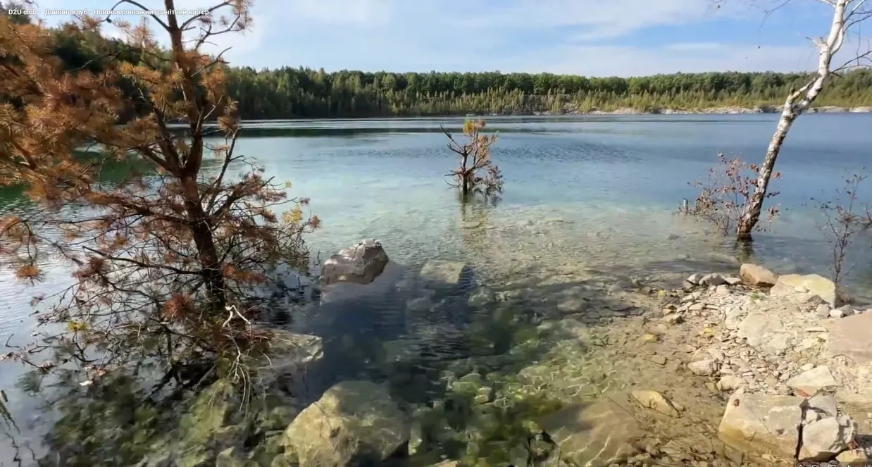
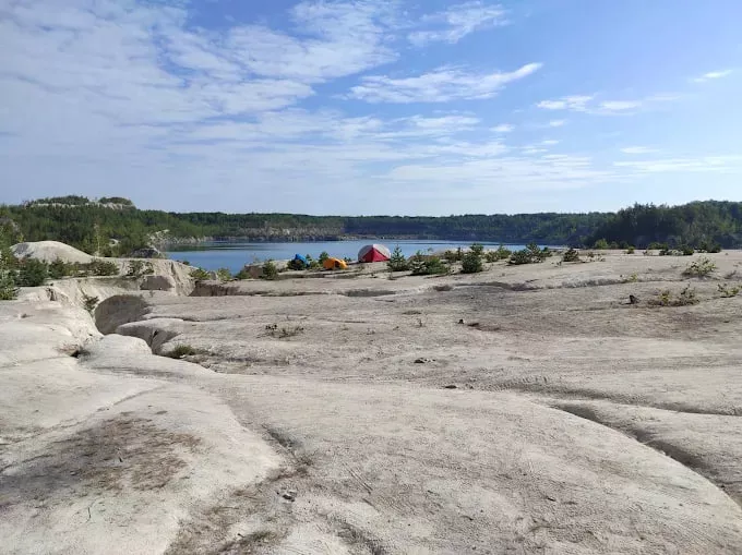
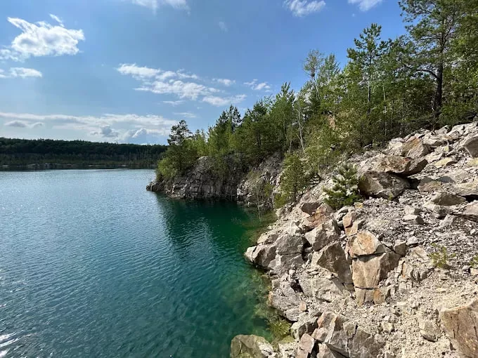
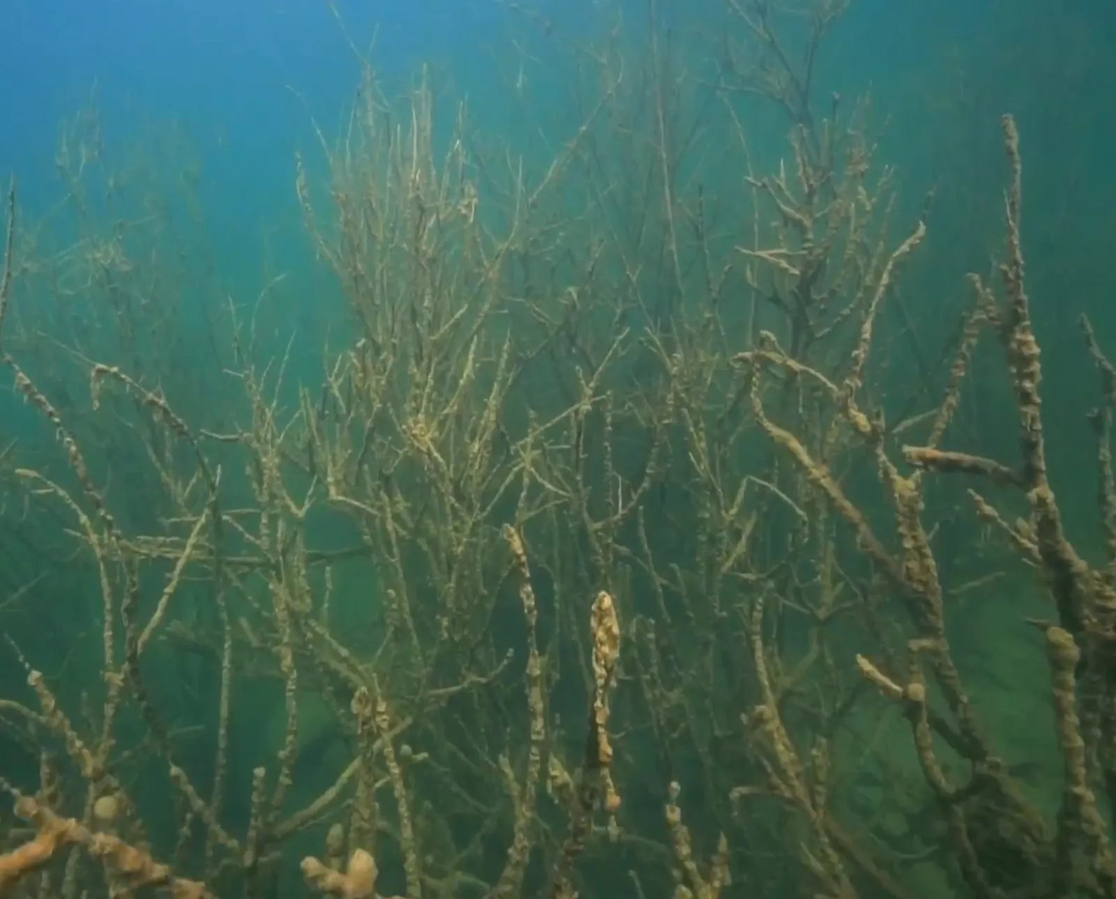
Granite walls hundreds of metres long and a submerged young forest — that is what people dive here for. But the main feature is not in the scenery, but in the temperature.
One of the bodies of water once explored by divers of the D2U Club was this quarry near the settlement of Novoozerianka. The location lies a few kilometres from the well-known Druzhba and Dibrova quarries and drew the attention of diving enthusiasts thanks to its clear water and natural scenery.
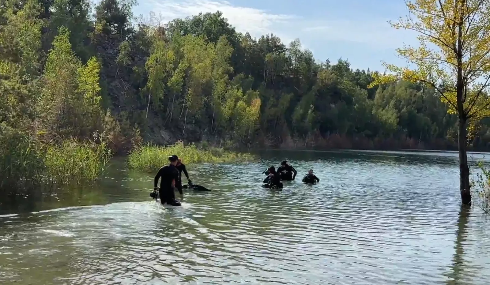
The quarry is surrounded by dense mixed forest and granite cliffs, and the water is so clear that even from a depth of several metres you can plainly see the surface and the trees on the bank. During their dives the divers explored granite cliffs, the submerged forest and the underwater relief. By their observations, to the right of the entry point is a steep slope with depths down to 50 metres, while ahead lie shallows down to 15 metres, home to a great many fish. Convenient access, a sandy entry into the water and picturesque views make this body of water appealing for diving and for a rest in nature.
Here is the sharpest thermocline among the Zhytomyr waters: at about 7 metres the water cools abruptly — from +18 to +6°C. A dry suit is needed for a proper dive, and swimmers should remember that just a few metres beneath their feet, real cold begins.
The place is suited to camping: there are clearings for tents and easy access to the water. Nearby are the remains of an old Polish church, berry and mushroom forests, and the neighbouring Druzhba and Dibrova quarries.
Druzhbivskyi quarry: the "Zhytomyr Maldives"
Where: near the settlement of Druzhba, Korosten district (on the border with the Olevsk area). Coordinates — Як доїхати. From Kyiv: about 235 km.
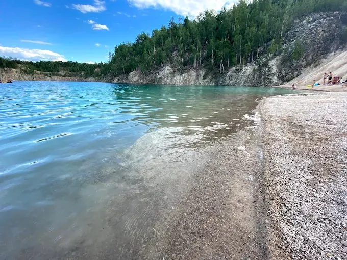
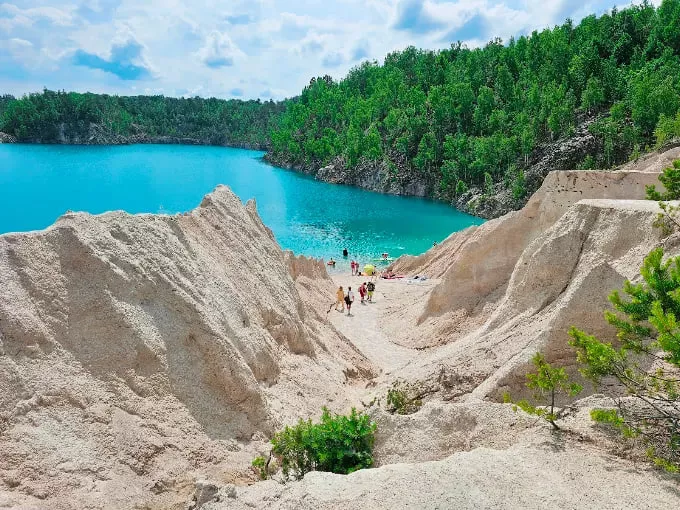
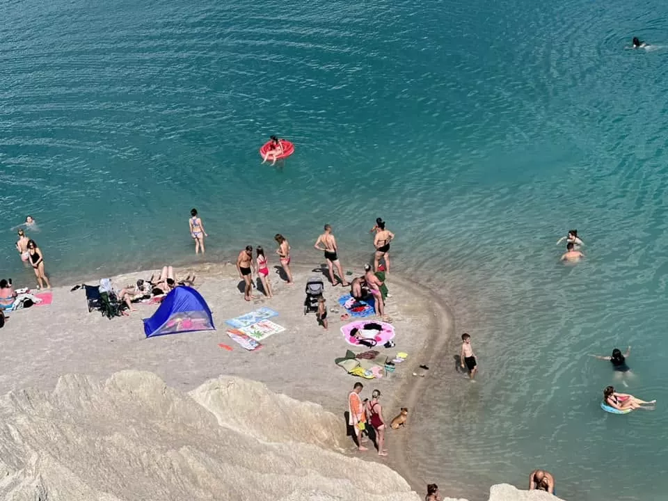
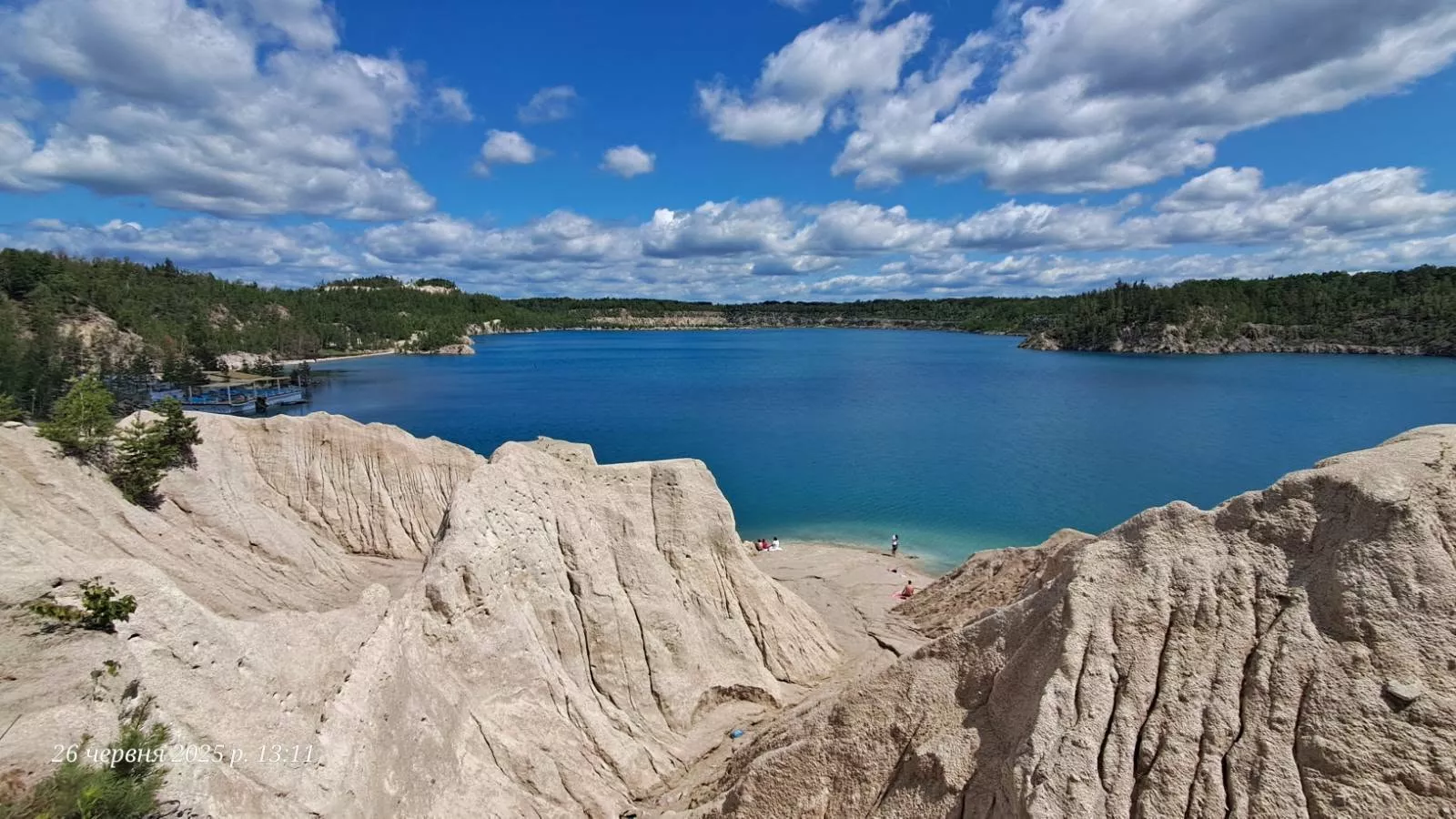
The most "Instagrammable" body of water in the region. Here they mined not granite but quartzitic sandstone, so the banks are white sandy cliffs you have to pass between to reach the water. The colour is a vivid blue-green, given by the clay that lines the bottom. Hence the nicknames: the "Zhytomyr Maldives" and "a second Pamukkale."
The history here is better documented than at the other quarries. Extraction began in 1948 — to supply the military industry with building materials. A settlement was built for the workers, which in 1961 received the status of a settlement and the name Druzhba. After 1991 the site passed under the management of the Ministry of Defence and bore the official name "State Enterprise of the Ministry of Defence of Ukraine, Druzhba Quarry of Non-Metallic Minerals 'Kvarts'." In 2020 it was handed over to the State Property Fund, and the "Ministry of Defence" prefix was dropped.
The tourist boom began around 2020–2021, after aerial shots of turquoise water and white slopes spread across social media. Before that, only locals knew about the location.
As for the figures: the often-cited area of 124 hectares is the quarry together with the plant, not the water surface. Different sources give the depth as anywhere from 20 to 50 metres; the figure that comes up most often is around 30.
Getting there by public transport (the cheapest option): Kyiv → suburban train to Korosten → change to the Korosten–Olevsk local train (which runs twice a day, morning and evening) → Rudnia Radovelska station (about 7 km to Druzhba) or Dibrova Olevska (about 5 km). From there on foot, by a local taxi, or hitchhiking.
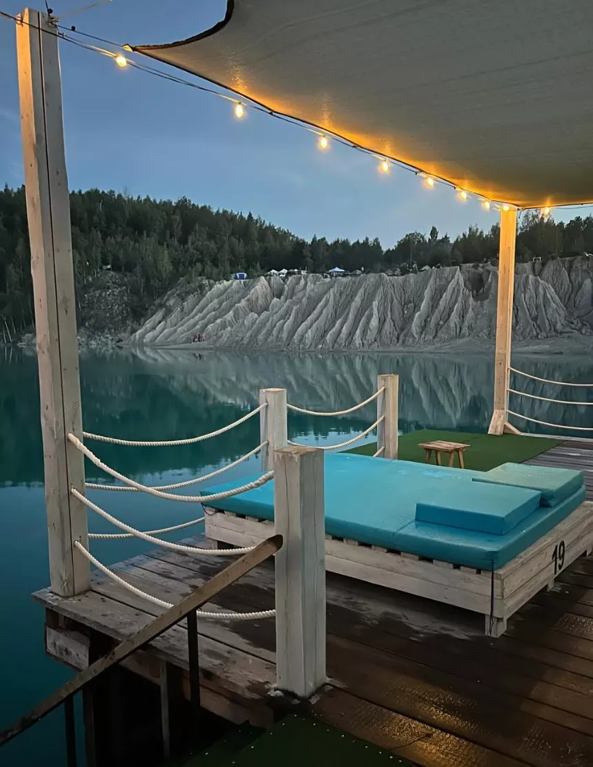
Of course, the Druzhbivskyi quarry is no longer just a place to swim, but a full-fledged recreation zone for the whole family. As of 2026, the following are available here:
- catamaran hire;
- SUP-board hire;
- beach loungers (first and second row);
- bungalows for relaxing;
- glamping with the option to stay overnight;
- the Laguna café-bar with food, drinks and coffee;
- free toilets for visitors;
- booking of spots and accommodation.
The Druzhbivskyi quarry keeps developing and is gradually turning into one of the best summer tourist complexes in the Zhytomyr region, where you can not only swim but also spend a comfortable full day or even stay for several days.
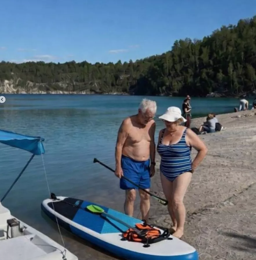
By car: along the M-07/E373 highway toward Olevsk; from Zhytomyr, 150–160 km, roughly 2.5–3 hours. From the settlement to the water it is about another 2 km along a dirt road through the forest.
Bonus: if your trip falls on the second Saturday of September — Korosten is about 60 km away, and that is when the Deruny (Potato Pancake) Festival takes place.
Korostyshiv quarry and canyon
Where: the town of Korostyshiv, roughly 100 km from Kyiv along the E40 (Kyiv–Chop) highway. Depth: up to 20 metres. Cliffs: up to 10 metres in places.
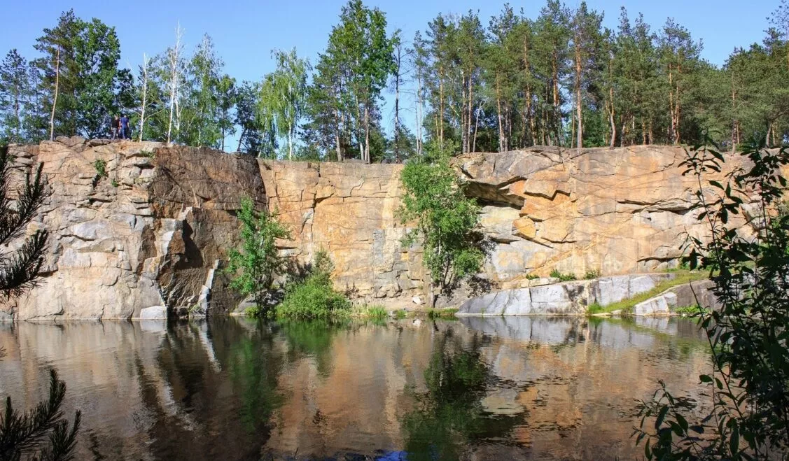
The oldest history on the list. Stone production near Korostyshiv began in 1890; labradorite, gabbro and grey granite were mined. Over a hundred years the quarry became one of the town's largest enterprises — a granite plant was built on its basis. After the collapse of the USSR, production stopped, and the basin flooded.
There are actually two sites, a kilometre and a half apart: the large Korostyshiv quarry and a small one, nicknamed "the canyon" for its high cliffs.
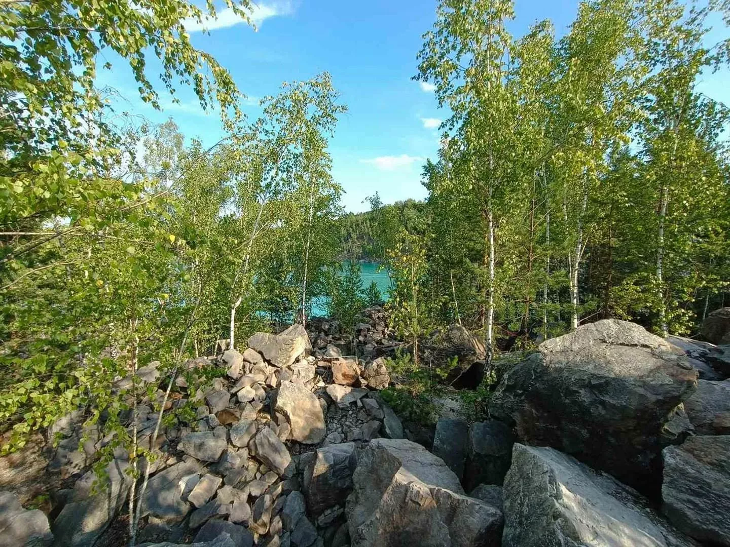
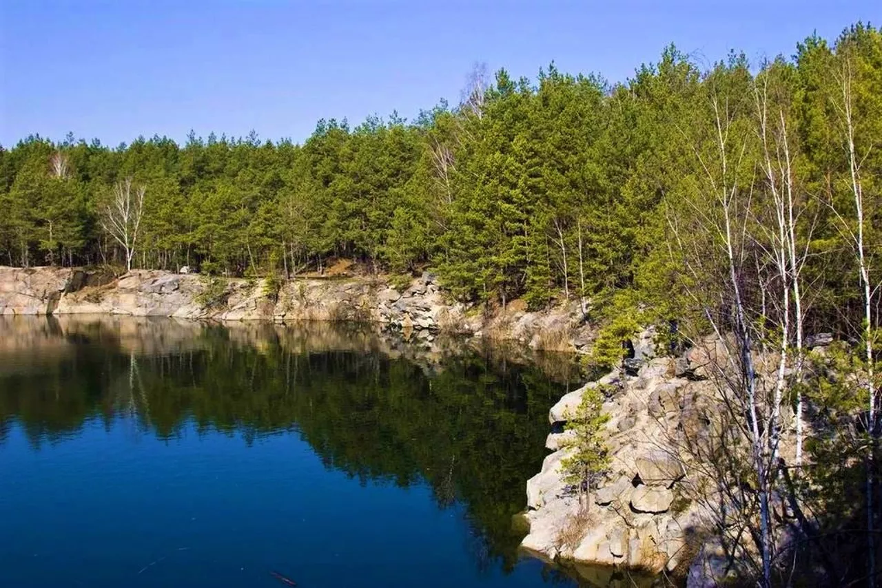
The water is turquoise and remarkably clear: there is no sand or silt on the bottom. The scenery is granite cliffs, coniferous forest, a wooden footbridge and paths among the pines. Spruce and birch grow along the banks, which is why the views are often compared to southeastern Finland.
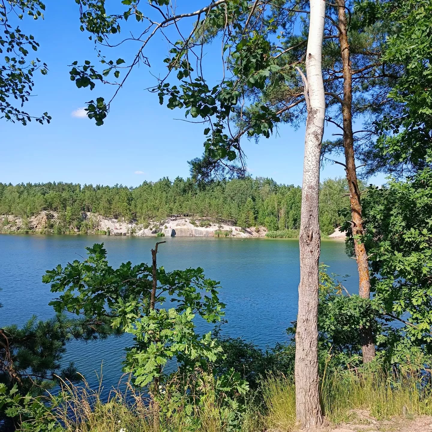
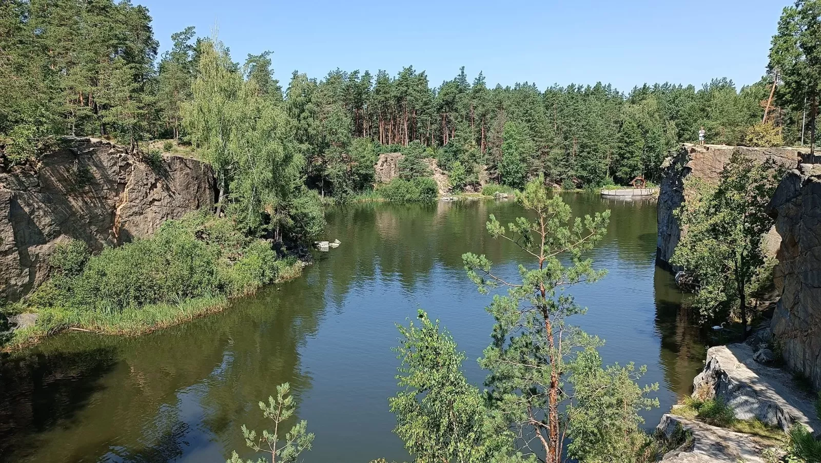
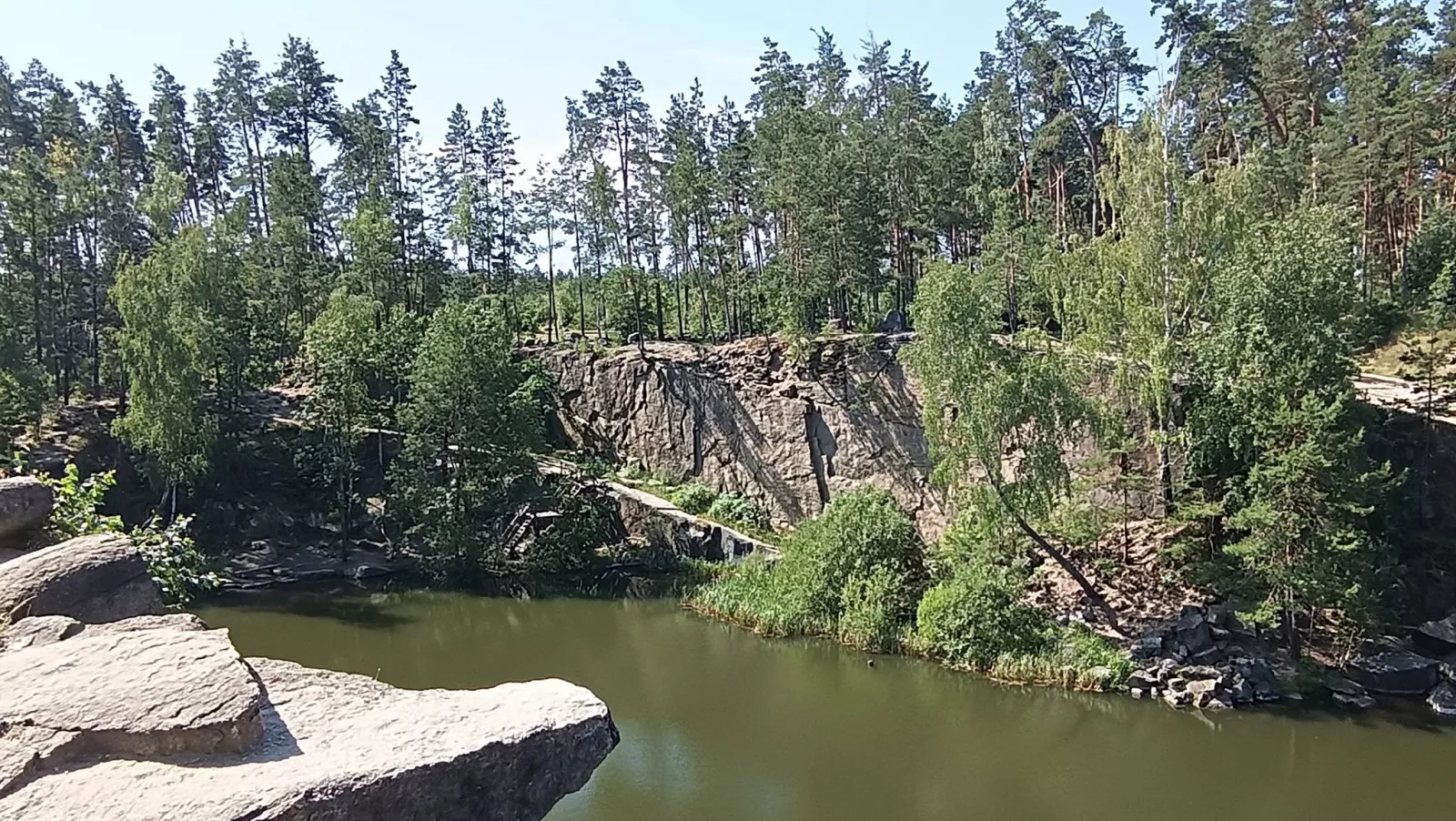
On one side a beach has been laid out, with gentle slopes down to the water and sheer cliffs. People usually fish on the bank opposite the beach.
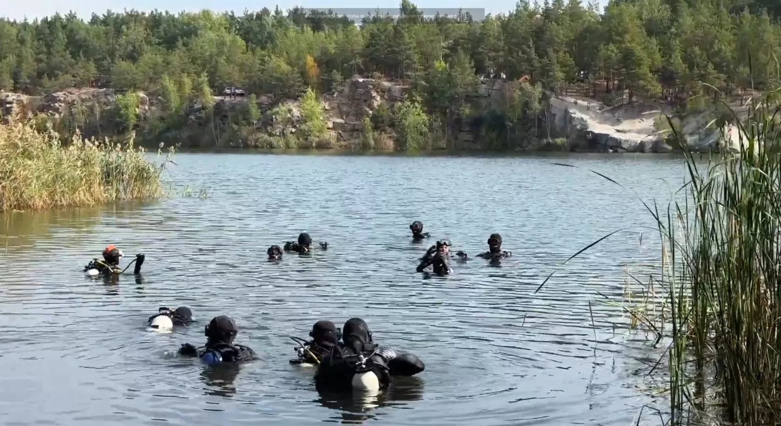
The Korostyshiv quarry has already been a dive site for members of the D2U Club more than once. This body of water, formed on the site of a former granite quarry and fed by underground springs, attracts divers with its clear emerald water, granite cliffs and picturesque views amid pine forest. The quarry lies near Korostyshiv, roughly 100 kilometres from Kyiv. Its banks, up to 10 metres high, are surrounded by coniferous and, in places, deciduous forest, and the depth reaches about 20 metres. The water temperature varies with depth — from about +25°C near the surface to around +6°C at the bottom, so appropriate gear is recommended for diving.
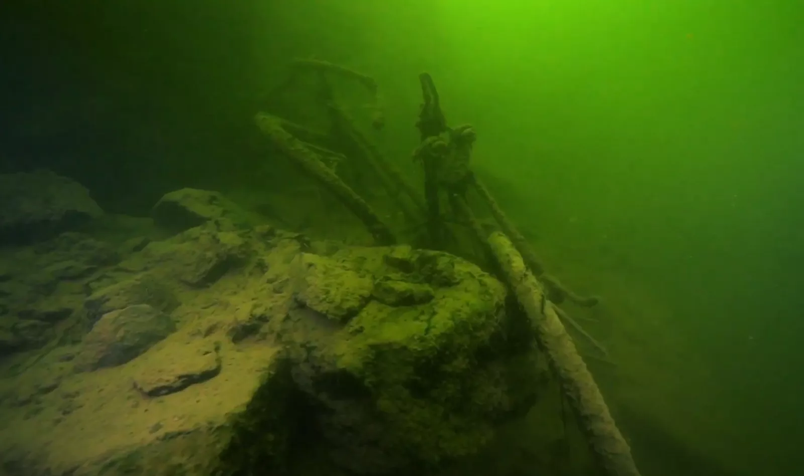
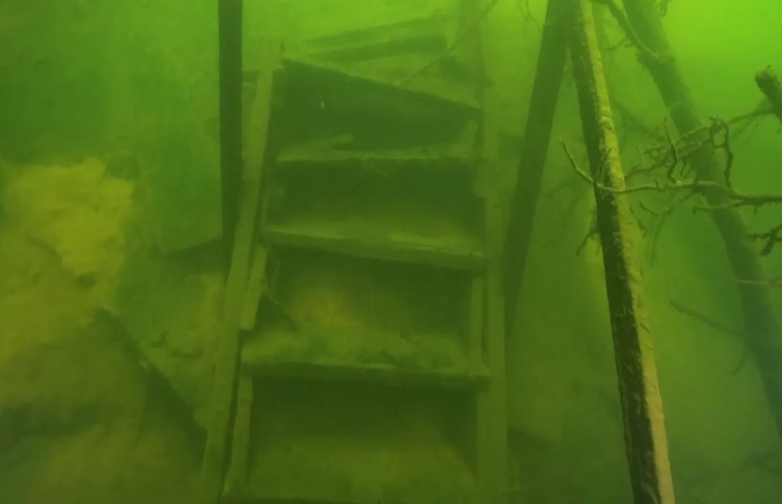
While exploring the quarry, divers observed granite outcrops, a submerged forest, the remains of a workers' building with stairs leading upward, and individual objects left over from the quarry's working days, including bicycles and pieces of work equipment. Despite the small number of fish, the body of water remains popular among lovers of diving and recreation thanks to its clean water, easy entry and unique underwater relief.
Insider tips from the regulars:
- it is better to grab a spot on the right-hand side — the descent to the water is easier there;
- in swimming season, on weekends everything is packed with cars and tents;
- set off with your tent on Friday evening — good spots by the water are snapped up in an instant;
- the best time is late spring or early autumn: nature is vivid and there are three times fewer people;
- the most striking shots are at sunrise and sunset.
Granite is still mined in Korostyshiv today, but now at other deposits.
"Vysokyi Kamin": a quiet lake among the pines
Where: near the villages of Novohorodetske and Horodske, 10–15 km from Korostyshiv. Coordinates — 50°22.102′, 29°11.625′. Distances: to Zhytomyr, 50 km; to Kyiv, 95–103 km.
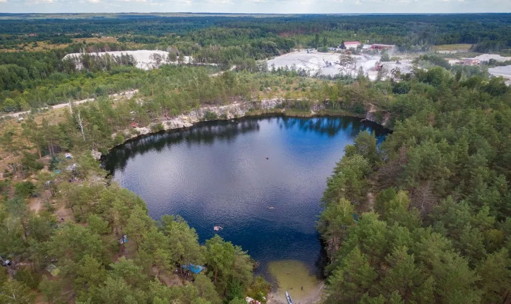
An alternative for those who find the Korostyshiv quarry too crowded. The same emerald water and steep cliffs, but with pines and birches growing thickly all around and a far quieter atmosphere. A place for camping, barbecues, climbing the textured walls and family recreation.
Two honest downsides:
- The working Novohorodetske granite quarry operates nearby — it can be noisy.
- There are no shops at all — bring everything with you. Plus the rubbish: not everyone cleans up after themselves.
Getting there: before you reach Korostyshiv, turn right off the Kyiv–Chop highway onto Novohorodetske. Beyond the village, on the left, will be the quarry checkpoint; from there, on to the Horodske fork and 200–300 metres to the left of the road.
Three city quarries of Zhytomyr: Bohunskyi, Sylikatnyi, Malovanskyi
Besides the Sokolivskyi, there are three more flooded granite quarries within the regional capital — each with a character of its own.
Bohunskyi — in the Bohuniia neighbourhood, about 20 metres deep, oval in shape. The banks are sandy beaches and stone outcrops. Foresters have laid out a one-kilometre eco-trail nearby, popular with cyclists. People come here all year round: for picnics in spring and autumn, and to swim in summer.
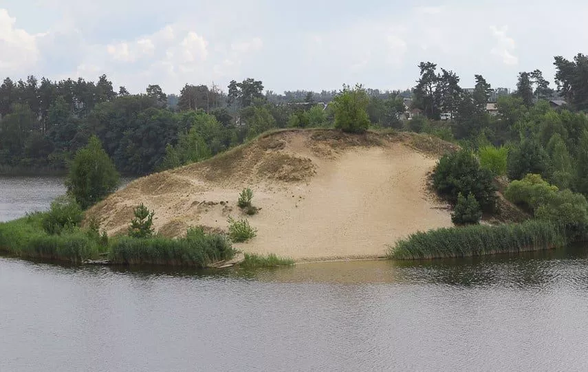
Sylikatnyi — near the Zhytomyr Silicate Plant. Over 110 metres deep, but its main advantage for families is different: the depth builds up gradually rather than abruptly. That is why the people of Zhytomyr consider this quarry the safest for a rest with children. There is a paid beach with gazebos, while the quarry itself is open for free visits, and there are shops nearby.
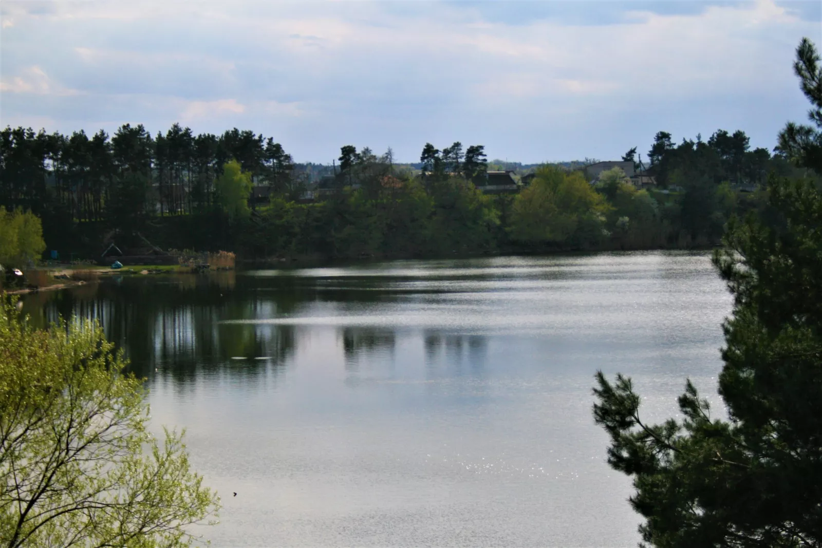
Infrastructure: Unlike the wild Bohunskyi, the Sylikatnyi quarry is better adapted for recreation. There is a rest area with a sandy beach, gazebos, boat hire and a volleyball court. Part of the grounds is paid, but most of the water remains freely accessible.
Malovanskyi — near the Chudniv Bridge that leads to Korbutivka. Shallow, about 10 metres deep. This is primarily a photo location: cliffs, trees and striking views in summer, autumn and winter.
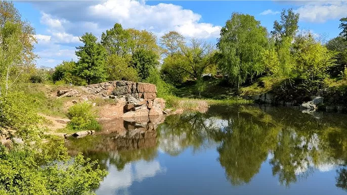
The Malyn "Puddle": an underwater museum in no official register
Where: the southeastern edge of the town of Malyn, Korosten district. Coordinates — approximately Як доїхати. Area: 19.3 hectares. Depth: about 15 metres.
The shallowest body of water on the list — and at the same time the most valuable. Officially it is the Horodyshchenska section of the Malyn granite deposit. Unofficially it is "the Puddle" (Kaliuzha), and the name was given by the divers themselves: the giant granite walls all around create the impression of a real canyon, while the water itself is only some fifteen metres deep. Against the hundred-metre Sokolivskyi, it really is a puddle. The joke became a place name.
How the museum came about
The story began in the early 2000s, when instructor Andrii Matusevych brought divers from the "DiveTeam" club here. The place turned out to be ideal for training: clear water, convenient access, safe depth. In time enthusiasts started the Malyn Underwater Museum project — the Malyn City Council dates its creation to 2011 and links it to activists from the Dive Time organisation.
The key point: the museum was made with no budget funding whatsoever and no documentation. Divers from all over the country simply brought exhibits here and lowered them to the bottom.
What lies on the bottom
Around 30 exhibits in all:
- a statue of Princess Olha — the first exhibit in the collection;
- a motorcycle specially made up to look like a German military model;
- an old anchor found on the bottom of the Black Sea and brought from Odesa;
- cars;
- a model of a naval mine;
- a transformer box and a pumping station;
- a wooden boat;
- an "underwater zoo" — figures of a lion, a tiger and a bear.
- an “underwater zoo” — figures of a lion, a tiger and a bear.
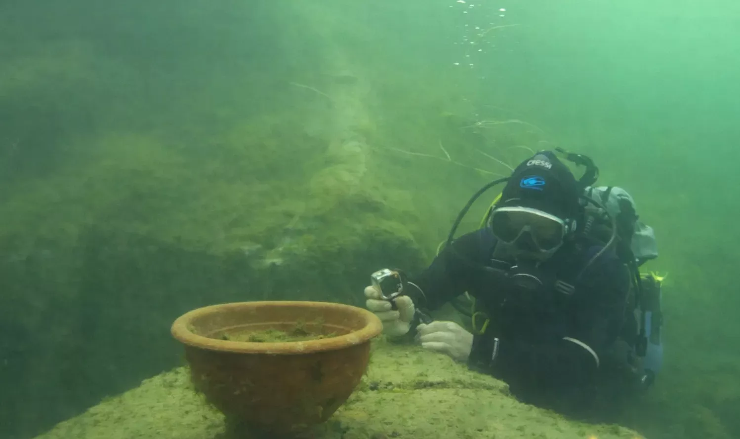
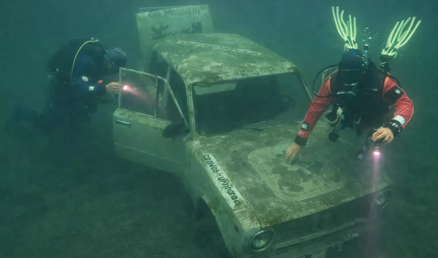
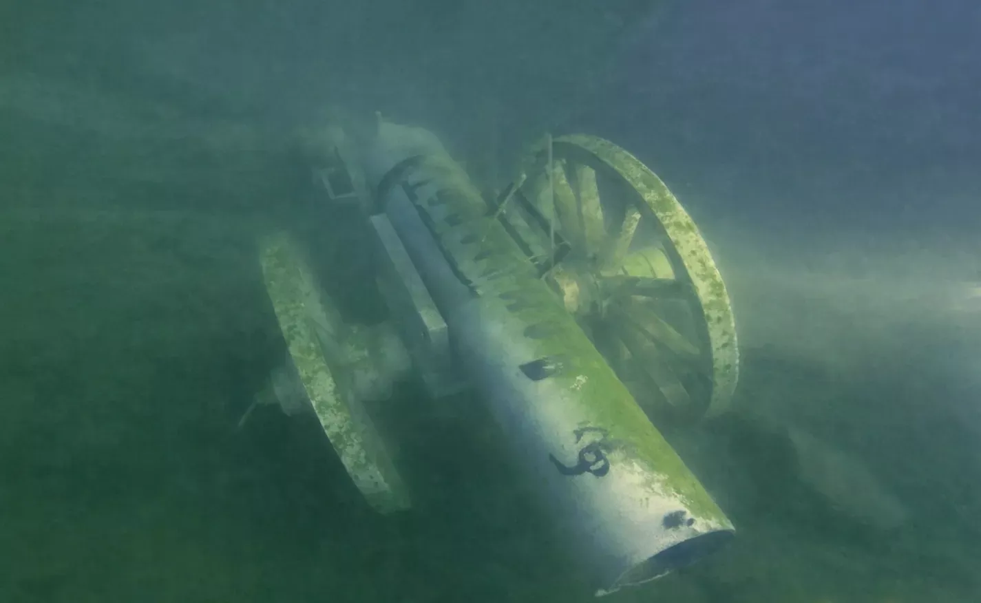
Before the full-scale war there was a tradition here: at New Year the divers set up a Christmas tree underwater.
The mussel story
One of the most curious episodes is the battle for clarity. At one point algae got into the water, it bloomed, and visibility vanished. Then a mussel — a natural biofilter — was brought from the Dnipropetrovsk region and introduced by hand. The mollusc took hold, and the clarity returned: 7–10 metres in summer, up to 25 in winter, and sometimes even up to 50. For a freshwater body of water, that is a unique figure.
That said, by midsummer the water here traditionally turns murky — bear that in mind when planning a dive.
Not only tourism
According to Pavlo Bohdan — a diving instructor, author of the Dive UA Film channel and one of the creators of the collection — 200–300 people have made their first dives here at the "Puddle." It was not only civilians who trained: rescuers, State Emergency Service units, National Guard fighters and members of the Armed Forces practised water safety, underwater navigation and teamwork here.
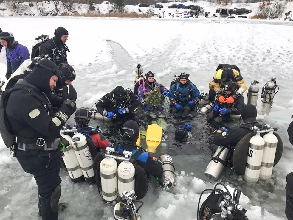
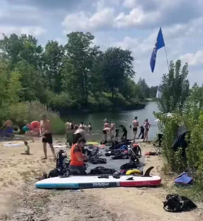
A story of its own is the rehabilitation of wounded servicemen. For people after injuries, amputations and severe trauma, diving works not as a sport but as a tool of psychological recovery: in the water, the weight of the body and the pain of movement disappear.
The museum has been visited by instructors from international associations — SDI, IANTD, PADI, SSI and GUE.
What is happening with the "Puddle" now
Since 2019 there have been attempts to drain the quarry and resume granite extraction — by the diving community's count, there have already been about five such attempts. In June 2025 the situation escalated: machinery was brought to the quarry, gates and security were installed, and Malyn residents tore the gates down and organised a watch.
The court saga around special permit No. 4509, issued to "BM Granit-U" LLC back in 2007 (case No. 240/29240/21):
- 13 December 2024 — the Zhytomyr District Administrative Court rejects the State Geological Survey's claim to annul the permit;
- 18 April 2025 — the Seventh Administrative Court of Appeal in Vinnytsia overturns this ruling and annuls the special permit;
- 21 May 2025 — the same court reviews its own ruling on newly discovered circumstances (an environmental-impact assessment of 21 March 2025) and reinstates the permit;
- February 2026 — the Supreme Court overturns the reinstatement and sends the case back for a fresh hearing;
- 22 April 2026 — the appeal court sides with the enterprise once again;
- 3 June 2026 — the Supreme Court opens cassation proceedings on a complaint by the State Geological Survey.
As of mid-2026 the special permit remains un-annulled, and the question of the legality of mineral use remains open. The executive committee of Malyn City Council has stated that it does not object to the company's planned activity and promises to help arrange a recreation zone with safe swimming areas. At the same time, mentions of the underwater museum — once used to promote the town — quietly disappeared from the city council's website.
Editor's advice: before a trip to the "Puddle," check the current state of access.
But where are the SUPs, catamarans and proper service?
The honest answer: at the quarries themselves — nowhere. The Dibrovskyi, Novoozerianskyi, Pashynskyi and "Vysokyi Kamin" are "wild" locations. Free entry, free parking, a free spot for your tent, and precisely zero service: no toilets, no hire, no café, no lifeguards.
Partial exceptions among the quarries:
- Sylikatnyi (Zhytomyr) — a paid beach with gazebos, shops nearby;
- Korostyshiv — a laid-out sandy beach;
- Bohunskyi (Zhytomyr) — a one-kilometre eco-trail.
If what you need is SUPs, catamarans and a proper bed for the night, the closest option in the region is the "Blue Lake" (Holube Ozero) complex in Mohylivka, 25 km from Zhytomyr. It has a beach with clear water, glamping tents and cabins, hot tubs, catamarans, SUP boards, a trampoline park, volleyball, bicycle hire, sun loungers, gazebos and a children's room. This is a paid format: roughly from 1,000 UAH a night for a glamping tent and from 1,500 UAH for a cabin (2025-season prices — check current ones).
Similar bases with catamarans and cabins can be found on the Teteriv River — notably in the village of Teterivka, 15 km from Zhytomyr, where prices start at about 600 UAH a night.
So the logic is simple: quarries for the scenery and the water, bases for the comfort. Combining them in a single weekend is entirely doable — the distances are short.
Summary table of Zhytomyr region quarries
| Quarry | Location | Depth | Rock | Why it's interesting |
|---|---|---|---|---|
| Sokolivskyi | Zhytomyr | up to ~110 m | granite | Ukraine's deepest freshwater quarry, freediving competitions, underwater forest |
| Sylikatnyi | Zhytomyr | over 110 m | — | Gradual depth build-up, paid beach, best for children |
| Pashynskyi | 3 km from Korosten | up to 54 m | granite | Cliffs up to 30 m, ledge "spirals," visibility up to 20 m in winter |
| Dibrovskyi | Dibrova village | up to 30 m | granite | Sunken machinery, transformer station on the bottom, over 27 hectares |
| Druzhbivskyi | Druzhba settlement | 20–30 m | quartzitic sandstone | White sandy cliffs, turquoise water, worked since 1948 |
| Novoozerianskyi | Novoozerianka settlement | 26 m | granite | Submerged young forest, sharp thermocline (+18 → +6°C from 7 m) |
| Bohunskyi | Zhytomyr | ~20 m | granite | Sandy beaches, 1 km eco-trail |
| Korostyshiv + canyon | Korostyshiv | up to 20 m | labradorite, gabbro, granite | Mined since 1890, beach, 23 climbing routes |
| Malyn "Puddle" | Malyn | ~15 m | granite | Ukraine's only freshwater underwater museum, ~30 exhibits, 19.3 hectares |
| Malovanskyi | Zhytomyr | ~10 m | granite | Photo location in any season |
| Vysokyi Kamin | Horodske / Novohorodetske | considerable | granite | Quiet, pines, camping; a working quarry nearby |
| Tovkachivskyi, "Ovruch-Stone" | Ovruch area | working | quartzite | Industrial, for tours; no swimming |
What a weekend at a quarry costs
The main advantage of this format is that it is practically free. Entry to most of the waters is free, you can pitch a tent, and no one charges for the views.
The bare-minimum option. The Kyiv–Korosten suburban train and then the local train is the cheapest way to reach Polissia. Water, sandwiches and fruit from home. Overnight in your own tent. Costs: just the tickets.
The mid-range option. Travel plus barbecue food bought on site. In Malyn, Korosten, Korostyshiv and Olevsk there are ordinary supermarkets and markets — locals buy their meat, vegetables and charcoal there, not on the highway, where it costs more. Bring plenty of water: there is no drinking water at the wild quarries.
The comfort option. A car (fuel there and back), lunch at a café in the nearest town, a night in a hotel or guesthouse. The closest lodging to the Druzhbivskyi is Olevsk; to the Pashynskyi and Dibrovskyi, Korosten; to the "Puddle," Malyn itself.
The "base + quarry" format. A night at a base with infrastructure (from ~600 UAH for a cabin, from ~1,000 UAH for glamping), and by day, a trip out to a quarry for the scenery.
Diving and climbing. Separate line items: a dive with an instructor, hire of gear and tanks; for the cliffs, a guided course with an instructor or your own equipment. Prices are set by the individual clubs and need to be checked directly.
Fares for trains, buses, fuel and bases change — check the current ones before your trip.
Practical tips
When to go. The best water is in spring and early summer, when clarity is at its peak. By midsummer the water blooms and turns murky. For photos, late spring and early autumn are the most striking.
Which day. Weekdays. On weekends there is no free space left at the popular locations. Set off with your tent on Friday evening.
What to bring. Closed, comfortable footwear (the terrain is uneven, with sharp gravel everywhere), a supply of drinking water, food, sunscreen, a hat, a power bank, and a separate bag for rubbish. At the forest locations — insect repellent.
Signal and navigation. In the Polissian forests the signal drops out. Download offline maps in advance.
The road. Dirt roads turn to mush after rain — check your car's clearance. The last 2 km to the Druzhbivskyi are unpaved, as are the approaches to the Dibrovskyi and Pashynskyi.
Rubbish. This is not a formality. The Sokolivskyi takes in more than 50,000 people over a summer, and this is exactly what the locals complain about. Take everything of yours away — otherwise these locations will be closed not by developers, but by the communities themselves.
Quarries as the Zhytomyr region's tourism capital
The flooded quarries are perhaps the region's most underrated resource. The drive from Kyiv to most of them is one to three hours. Entry is free. The water is cleaner than at most official beaches. Add the cliffs that half the country climbs and — in the case of the "Puddle" — a unique site with no equal in fresh water anywhere.
At the same time, the story of the Malyn Underwater Museum shows how vulnerable such capital is. A collection that hundreds of divers have passed through, that became a training ground for rescuers and a place for the rehabilitation of wounded soldiers, was created entirely by enthusiasts — with no documents, no status, no budget. And that is exactly why it is so easy to lose: legally, it does not exist.
The Zhytomyr region has everything it needs to turn its quarries into a full-fledged tourist product — with proper access points, safe swimming zones, parking and rubbish collection. The only question is whether the communities will manage to do it before the quarries return to industrial use.
FAQ
1. What is the deepest quarry in the Zhytomyr region? The Sokolivskyi in Zhytomyr — up to about 110 metres according to Wikipedia; freedivers' echo sounders showed around 101 metres. It is Ukraine's deepest freshwater quarry.
2. Why don't the depths in different sources match? A quarry bottom is a system of ledges, not an even basin. The "maximum depth" refers to a single point. On top of that, the water level fluctuates seasonally, and some of the measurements were taken with divers' echo sounders.
3. Why is the Malyn quarry called the "Puddle"? The divers coined it as a joke: against the giant granite walls, the water is only about 15 metres deep. The name stuck.
4. What lies on the bottom of the Malyn "Puddle"? Around 30 exhibits: a statue of Princess Olha, a motorcycle, an anchor from the Black Sea, cars, a model of a naval mine, a transformer box, a boat, a pumping station, and figures of a lion, a tiger and a bear.
5. Who created the Malyn Underwater Museum? Enthusiast divers. The Malyn City Council dates its creation to 2011 and links it to activists from the Dive Time organisation. The museum has no official status.
6. Can you visit the "Puddle" now? The situation is unstable because of a court dispute over the special permit for granite extraction. Before a trip, it is worth checking the current state of access in local media.
7. How many Zhytomyr region quarries are on the all-Ukrainian diving rating? Five: the Sokolivskyi in Zhytomyr and four in the Korosten district — the Pashynskyi, Dibrovskyi, Novoozerianskyi and the Malyn "Puddle."
8. Where in the Zhytomyr region do people rock-climb? The main area is Denyshi on the Teteriv River (about 50 routes, a 20–25 m wall). Also the Korostyshiv canyon (23 routes, grades 4a–7b) and four sectors within Zhytomyr itself.
9. Is Denyshi a quarry? No. It is a natural granite canyon of the Teteriv River, part of the Zhytomyr granite shield.
10. Are there SUP and catamaran rentals at the quarries? No. The quarries are "wild" locations with no service. SUPs, catamarans and glamping are at the bases, notably "Blue Lake" in Mohylivka, 25 km from Zhytomyr.
11. Has a recreation base been built at the Druzhbivskyi quarry? As of the 2026 season — no. Entry, parking and tents are free, but there is no infrastructure: no toilets, no bins, no lifeguards.
12. When did extraction at the Druzhbivskyi quarry begin? In 1948 — for the military industry. From 1991 it belonged to the Ministry of Defence; in 2020 it passed to the State Property Fund.
13. Why is the Druzhbivskyi quarry called the "Zhytomyr Maldives"? Because of its white quartzitic-sandstone slopes and its blue-green water, coloured by the clay on the bottom.
14. Which quarry is best for a rest with children? The Sylikatnyi in Zhytomyr: the depth builds up gradually, there is a laid-out beach, and there are shops nearby.
15. How clear is the water in the quarries? At the "Puddle," 7–10 metres in summer, up to 25 and even 50 in winter. At the Sokolivskyi, 8–10 metres. At the Pashynskyi in winter, up to 20 metres.
16. When is the water clearest? In spring and early summer. By midsummer the water blooms and turns murky.
17. What is a thermocline and where is it most noticeable? A sharp change in temperature with depth. The most striking is at the Novoozerianskyi: from about 7 metres the water cools from +18 to +6°C.
18. Are there quarries for swimming in Ovruch? No. The Tovkachivskyi quarry and "Ovruch-Stone" are working industrial quartzite-extraction enterprises. They are visited as part of tours of the Ovruch ridge.
19. When did granite extraction in Korostyshiv begin? Stone production began in 1890. Labradorite, gabbro and grey granite were mined.
20. Is it safe to jump from the cliffs into a quarry? No, not if you don't know the bottom. Wreckage of machinery, rebar and rocks may lie in the water, and the clear water creates a deceptive impression of depth.