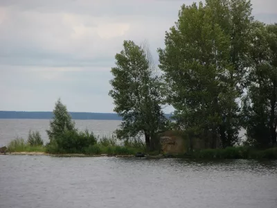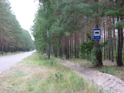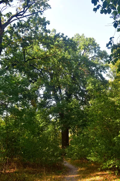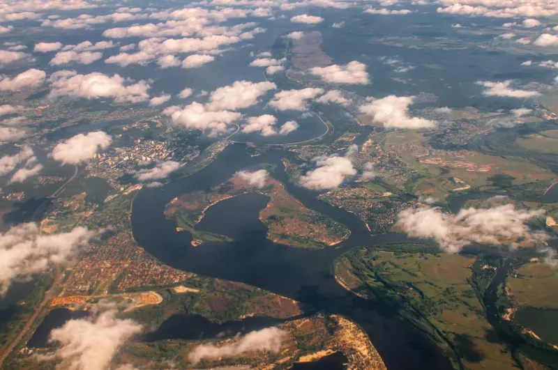
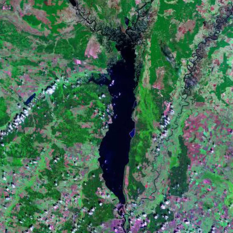
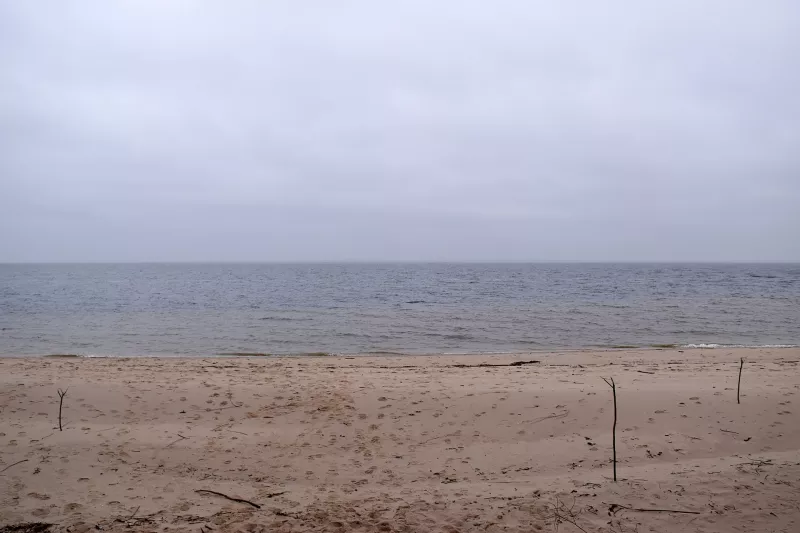
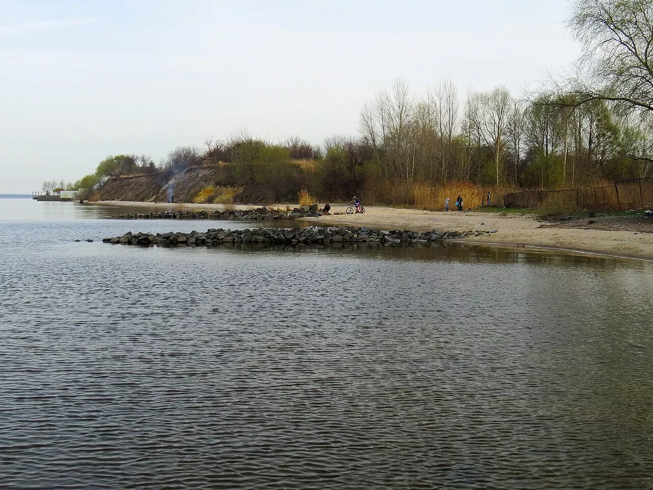
The Kyiv Reservoir, which everyone calls the Kyiv Sea, is the first and highest upstream of the six reservoirs of the Dnieper cascade. It lies in the Kyiv and Chernihiv regions, stretching from the dam of the Kyiv HPP in Vyshhorod northward almost to the border with Belarus. For Kyiv Polissia, this is the main body of water: wide expanses, sandy beaches, and pine-clad shores begin half an hour away from the capital.
A Sea Created in the 1960s
The reservoir was filled in 1964–1966 by damming the Dnieper upstream of Kyiv in the area of Vyshhorod. According to the project, its area was 922 square kilometers, its length about 110 km, its greatest width up to 12–13 km, and its volume 3.73 cubic kilometers. The deepest places, up to 15 meters, are near the dam; the average depth is only 4.1 meters, and almost half of the area is occupied by shallow waters up to two meters deep. Due to siltation and overgrowth, the modern area has decreased to 824 square kilometers, and the length to 96 km.
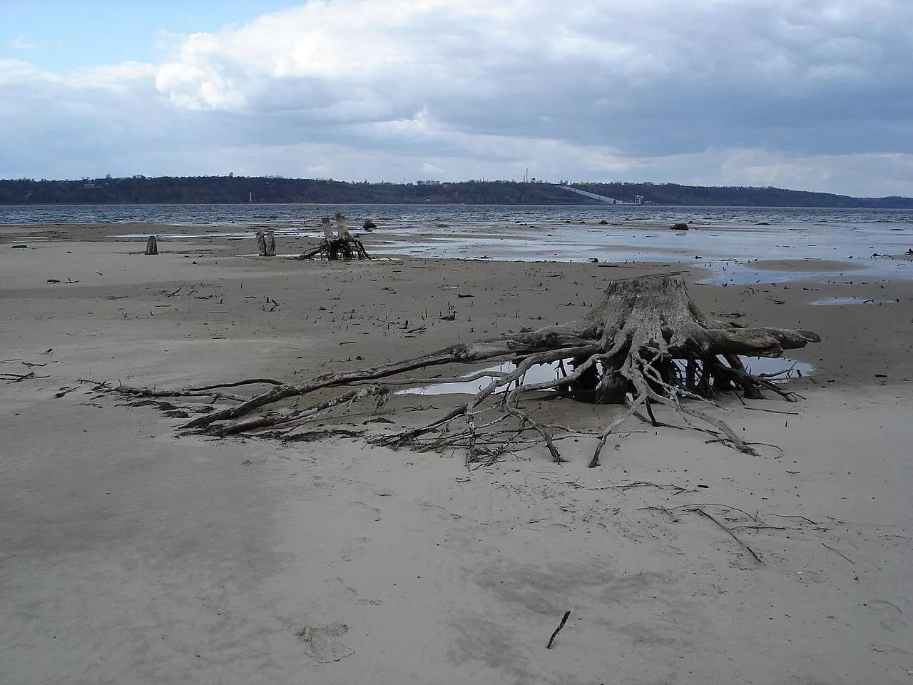
Many villages found themselves underwater, mostly on the left bank: Starosillia, Svaromia, Oshytky, Tarasovychi, Chernyn, Okuninove, Novyi and Staryi Hlybiv, Syvky, Birky, and on the right bank: Borky, Tolokunska Rudnia, Rotychi, Domantove, Teterivka. Okuninove was later rebuilt in a new location. When the water is low, tree stumps from the flooded forest are still visible on the shoals.
Dnieper, Prypyat, and Teteriv
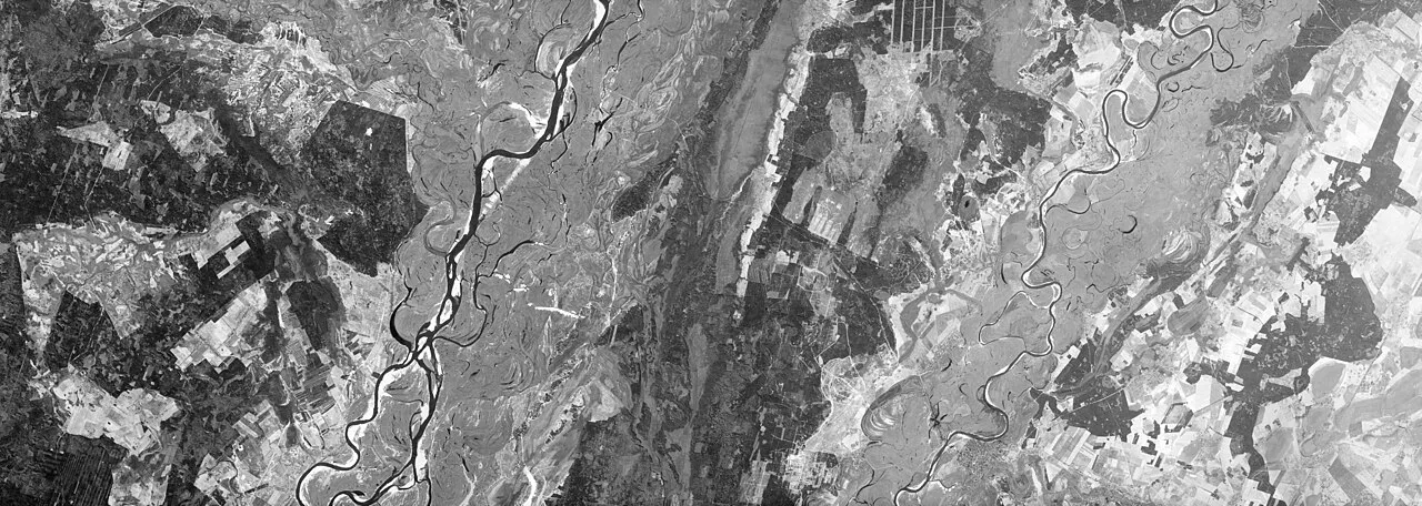
The reservoir occupies the Dnieper valley from Vyshhorod to the village of Dniprovske, the Prypyat valley from its mouth to Chornobyl, and the Teteriv valley from its mouth to the village of Bohdany. The Teteriv, Irpin, and Prypyat flow into it from the right bank. The Prypyat reach is easily recognized by its darker water, which contains more humic substances from the Polissian bogs. The upper reaches are shallow and overgrown with reeds and algae, while the lower part from Rudnia-Tolokunska to the dam is the deepest.
The water in the sea is renewed 9–12 times a year. In spring, during the flood, the reservoir resembles a river, and from late June the flow-through drops and it becomes lake-like. The warmest water is in July, at 21.5–22 °C. It is then that the water often "blooms" in the shallows.
Beaches and Recreation
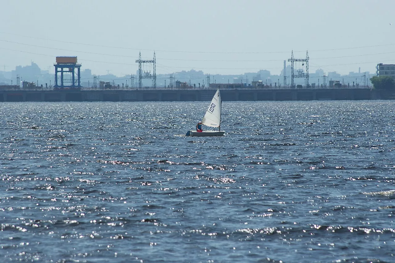
The most popular right bank stretches from Vyshhorod to Liutizh, Novi Petrivtsi, Tolokun, Yasnohorodka, and Kozarovychi: sandy beaches, pine forests, and recreation centers. Sailing, windsurfing, and kitesurfing are practiced here because there is almost always wind on the wide water. Near Novi Petrivtsi, a well-known geological outcrop with cliffs emerges by the water.
Fishing
The Kyiv Sea is one of the richest fishing water bodies in the Kyiv region. Anglers catch bream, pike-perch, pike, perch, roach, rudd, catfish, asp, and crucian carp here. Boat fishing takes place along the drop-offs of the flooded riverbeds of the Dnipro and Prypiat and at the edge of the shallows, while shore fishing uses feeder and float rods near Liutizh, Tolokunhorod, Yasnohorodka, and Kozarovychi. In summer, roach and rudd bite well in the shallow bays, in autumn, pike-perch and pike go for spinning lures, and in winter, ice fishing takes place in quiet bays. General fishing regulations apply.
When to go and what to consider
The best time is June and September: the water is already or still warm, and algal blooms are less severe than in July. Waves rise quickly across the wide open expanses, so stay close to the shore and check the wind forecast when using a boat, kayak, or SUP board. The northern part of the sea borders the exclusion zone and the border with Belarus, where restrictions apply that should be checked in advance. Swimming is best done at equipped beaches.
Nearby are the Museum of Ukrainian Military Valor in Novi Petrivtsi and Pillbox No. 582 near Liutizh. Read more about the region in the article about Kyiv Polissia.