The Włodawa Forests Trail (Szlak Lasów Włodawskich) is a green PTTK circular route about 44 km long (43,7 km according to OpenStreetMap data, 46,6 km in our track). Officially, it starts and ends at the bus station in Włodawa, while making a large loop through the forests west of the town, passing by Suchawa, the villages of Gmina Wyryki, Adampol, and Dobropol. This is a full day of hiking, taking 10–12 hours, or two days with an overnight stay.
Along the Bug and the Włodawka
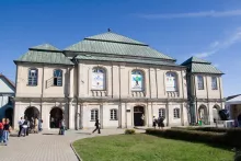
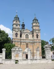
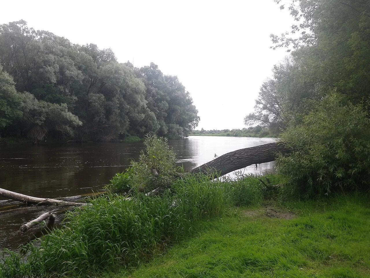
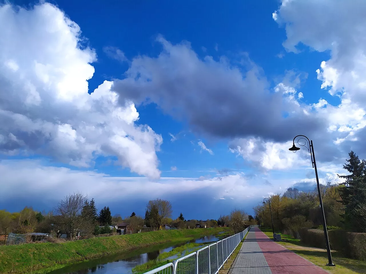
In Włodawa, the route passes through the center past the market square with its 18th-century "Quadrangle" and the Pauline monastery, and further along the Bug River Promenade. The Bug here serves as the border with Belarus, and the Belarusian side is visible from the bank. The trail then turns into the valley of the Włodawka River, which flows into the Bug within the town limits, and leaves the town.
Forests of the Włodawa Ridge
The main part of the loop consists of the forests of the Włodawa Forest District on the Włodawa Ridge (Garb Włodawski). This is a slightly higher and drier area than the lake district to the south, with predominantly pine forests on sands and alder carrs in the lowlands. The trail mostly follows forest fire roads. Near the Wilczy Grząd hill, it passes a natural monument — a spring niche — and near the Adamki tract, it passes ecological areas where wet meadows and swamps are protected. Water in the forest can be found practically only in springs, so be sure to take a supply with you.
Suchawa, Wyryki, Adampol
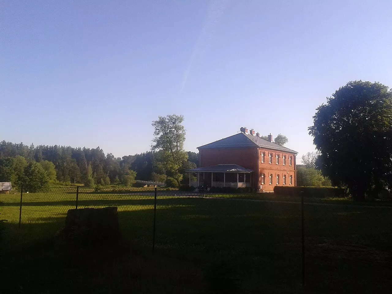
In the west, the loop leads out to the villages: Suchawa with Stara Suchawa, then Wyryki-Połud — the center of Gmina Wyryki — and Wyryki-Wola. Here, Polesian homesteads alternate with fields and forest clearings. Turning east, the route passes near Adampol. There stands the 1920s Zamoyski hunting lodge, and in the forest, according to the Włodawa Forest District data, lies a glacial erratic with an inscription from 1903 commemorating a successful deer hunt. In Adampol, there is also a monument to Jews who died in the German forced labor camp that operated here during the years of occupation. Further on through Dobropol, the trail returns to Włodawa.
How to get there and what to consider
The most convenient starting point is Włodawa: buses run here from Lublin (about 90 km) and Chełm (about 50 km). The long loop can be broken into two days with an overnight stay in Włodawa or hiked in sections — roads 818 and 82 intersect it in several places. The markings are green; at forest forks, be careful and have the track on your phone. Ticks are common in these forests from April to October, and mosquitoes in summer, so closed clothing and repellent are mandatory. The section along the Bug runs a few hundred meters from the border with Belarus. The border is closed, there are no border checkpoints nearby, and documents may be checked by the Polish Border Guard. For Ukrainians, this is Poland — a foreign passport is required.