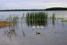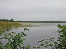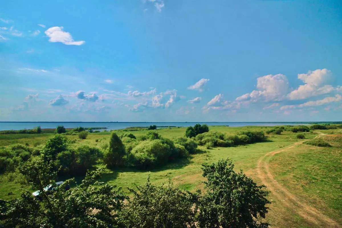
“Try Ozera” (“Three Lakes”) is a circular ecological trail of Shatskyi National Nature Park in the western part of the park, near the village of Pulmo. According to the park, it is 5.8 km long, starts and finishes on the shore of Lake Pulemetske, and runs between three bodies of water — Pulemetske, Klymivske, and Mala Chorne. It can be walked or cycled, and the walk usually takes two to three hours.
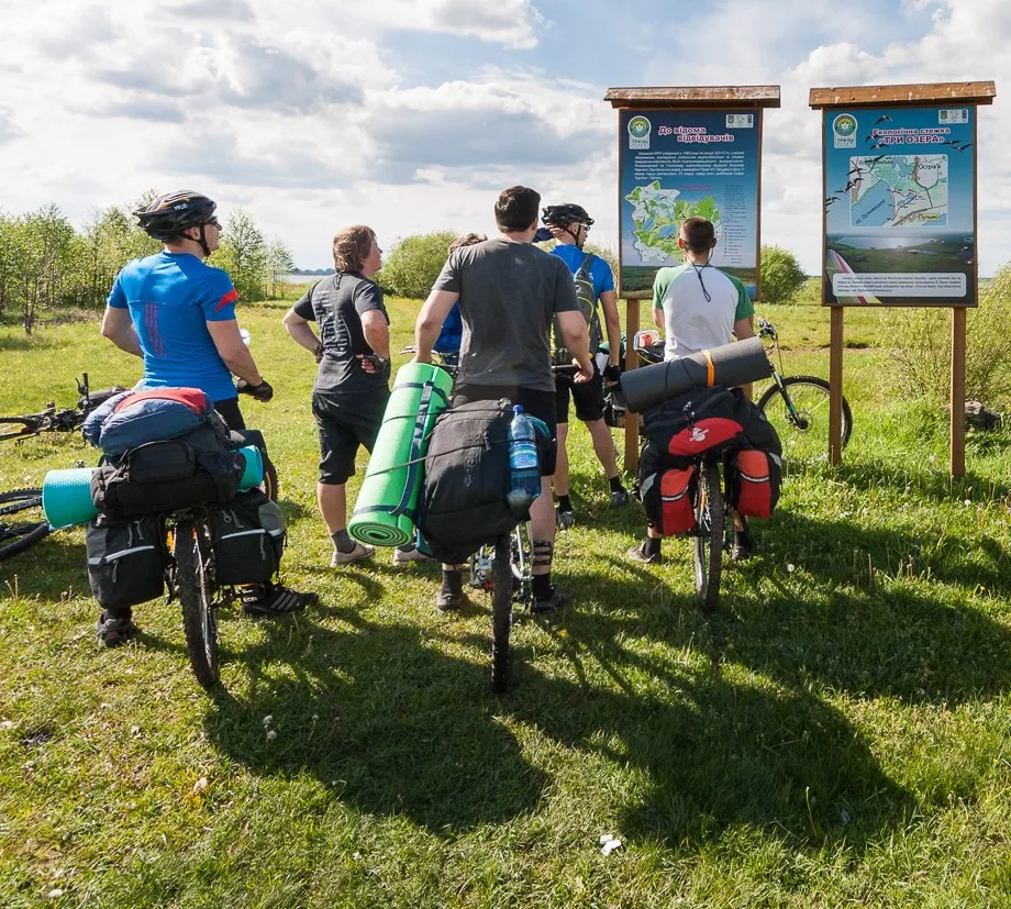
What’s on the trail
At the start there is a board with the route map on the sandy, in places reed-covered shore of Lake Pulemetske. A few hundred meters ahead stands a wooden observation tower: you can climb up the ladder to see the whole lake, and shelter under the roof in bad weather.
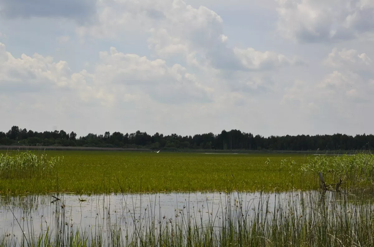
Next, the trail goes between Pulemetske and Klymivske. You cannot approach Klymivske — its shores are marshy and densely overgrown with reeds. This small lake, covering 29 hectares and up to 3 m deep, lies between Pulemetske and Mala Chorne.
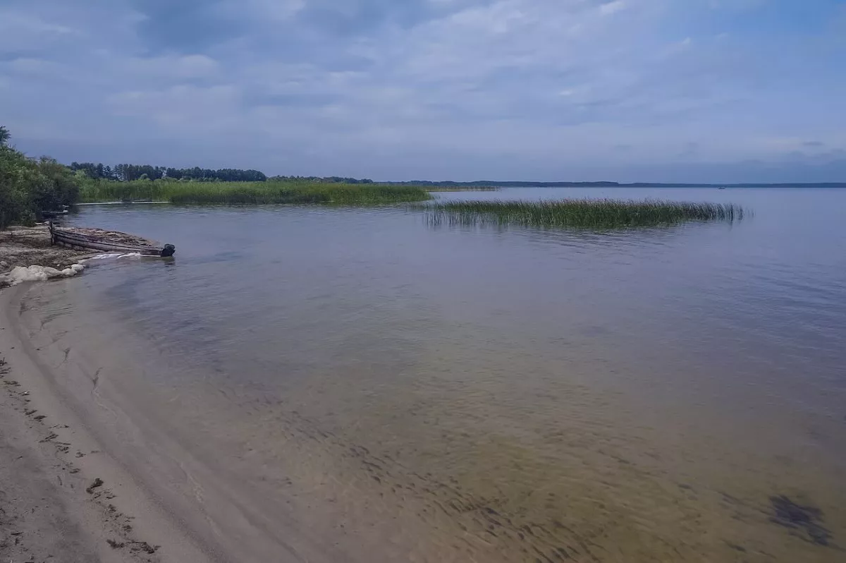
In the pine forest, the trail passes a concrete pillbox built before World War II — a silent witness of those events. Further on is Lake Mala Chorne, surrounded by swamps: the park calls it a favorite place of birds. It can only be viewed from one point. Southward, the route crosses a drainage canal locally called the Kopaivka River, then through meadows returns to the start.
Lake Pulemetske
Pulemetske is the second largest and second in water volume lake of the Shatsk lake group after Svityaz: over 15 square kilometers, 6.1 km long, and up to 19 m deep. The southern and northwestern shores are sandy and elevated 5–6 m above the water. The lake is mainly fed by underground waters and connected by canals with Lake Ostrivianske and Luky.
Tips and getting there
Pulmo lies west of Shatsk, closest to the borders from all corners of the park. Before the hike, be sure to check with the park or border guards whether a permit is required to visit the forest, and men aged 18–60 should carry their military registration document. The track on the map is laid along forest and field roads according to the park’s description and is slightly longer than the official 5.8 km — on site, navigate by markings and boards. The “How to get to the start” button will guide you to the board on the shore.