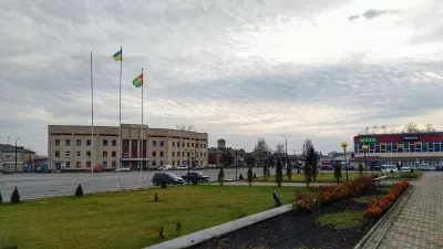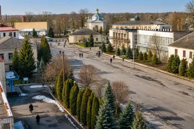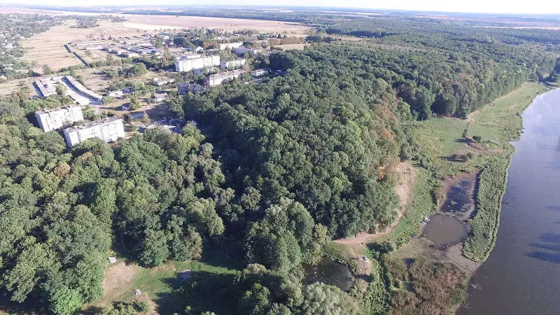

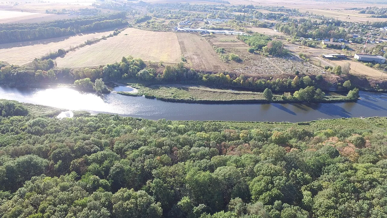
Myropil is an urban-type settlement in the west of Zhytomyr Raion, the center of Myropil community. It stands on the Tsyr River, where the Ruda and Krykuha rivers flow into it. The Koziatyn–Berdychiv–Shepetivka railway passes through Myropil, and north of the settlement, on the right bank of the Tsyr, lies the Myropil Forest Reserve.
Today it is a quiet settlement with a granite quarry and a small hydroelectric power station, but its history dates back to the times of Kyivan Rus, and in the 19th century it was the splendid residence of the Counts Gutten-Chapski.
Chronicle Kamianets
In 1896, archaeologist Serhii Hamchenko surveyed a hillfort and 32 burial mounds near Myropil. Finds from the 5th–8th centuries gave the name to an entire archaeological culture known as the Korchak or Zhytomyr culture.
In the 12th–13th centuries, on the site of the former village of Kamyanka, now within Myropil, stood the border city of Kamianets—on the border of the Volyn Principality and the Kyiv land. The Kyiv Chronicle first mentions it in 1196. In 1228, Kamianets was besieged by Kyiv prince Volodymyr and the Polovtsian khan Kotyan; in 1239 it was taken by storm by prince Yaroslav Vsevolodovych; and in 1240 the city was burned by Batu Khan’s troops. After that, it never revived.
From Sapohiv to Myropil
The settlement itself was first mentioned in the Lithuanian Metric around 1497 as the village of Sapohiv: “And to the town of Chudniv the first village Sapohov.” The name came from the Sapohivka River, now the Chobotivka. From 1585 the town belonged to the Ostrogski princes, and by 1622 it had 520 households. During the Khmelnytsky Uprising, Myropil was a border post of the Bila Tserkva Regiment.
At the beginning of the 18th century, after the “expulsion” of the population from the Right Bank, the town was emptied: in 1714 soldiers wrote that “there is not even a living dog there now.” Later many Jews resettled here, and the owners changed one after another: the Lubomirski, Mionchynski, Didushytski, Rostworowski families. In 1778 Myropil received a royal privilege for Friday markets and 12 fairs a year.
The Gutten-Chapski Palace
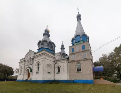
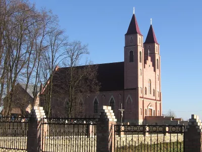
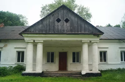
In 1820, at the expense of the Rostworowski family, a brick Church of St. Anthony of Padua was built in Myropil—the first shrine on this site was founded back in 1600. In the 1840s, a paper factory began operating here. Later the town came as a dowry to Count Marian Gutten-Chapski, a well-known agricultural scientist and author of the “General History of the Horse.”
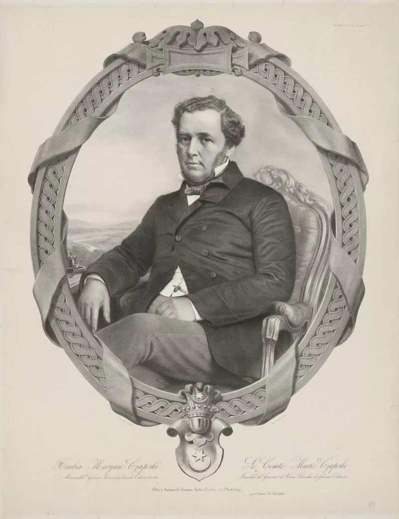
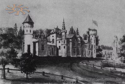
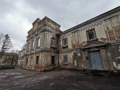
Under the Chapski family, Myropil flourished as a noble residence. The count built a palace in the Italian style with a quadrangular tower and battlements, laid out a park and a model apiary with over 2,000 hives, and kept stables of purebred English, Arabian, and Anglo-Arabian horses.
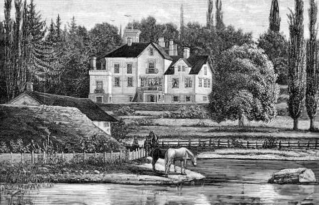
On 16–17 May 1863, during the January Uprising, Edmund Różycki’s detachment fought Russian troops near Myropil. For supporting the insurgents, Gutten-Chapski was exiled to Siberia for three years, but the estate remained with the family until 1918.
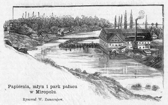
In 1872, the Berdychiv — Shepetivka railway passed near Myropil. In 1897, the town had a population of 4,914, almost 2,000 of whom were Jews, and in the 1910s Myropil became a major grain market of Volhynia with monthly fairs. During the German occupation, there was a ghetto here: in February 1942, the Nazis shot about a thousand of its prisoners near the palace.
What to see
The main attraction of Myropil is the Sluch River, which flows through the settlement. In 1957, the Myropil Hydroelectric Power Station was built on it. The banks of the Sluch above and below the flow are well suited for walks and photography, and to the north begin the forests and swamps of the Myropil Reserve.
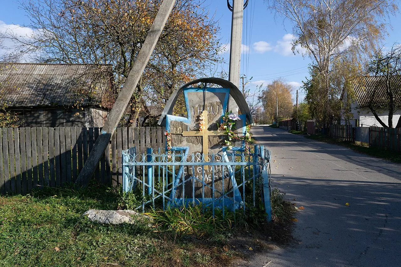
At the corner of the streets in the center, there is a stone cross from 1857 — a cultural heritage monument. Near the settlement, there is a granite quarry. Myropil is the birthplace of Felix Przesmycki, a bacteriologist and founder of the State Institute of Hygiene in Warsaw.
How to get there
Myropil has a railway station on the Koziatyn — Berdychiv — Shepetivka line and a bus station; the T 2309 highway passes through the settlement. Nearby, it is worth visiting Romaniv with the history of the Ilinsky family and the old Chudniv on the Teteriv River. More about the surroundings can be found in the article about Zhytomyr Raion.