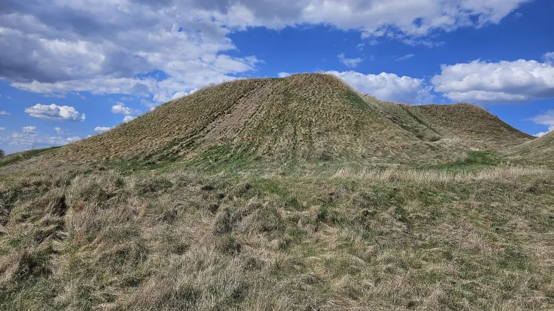
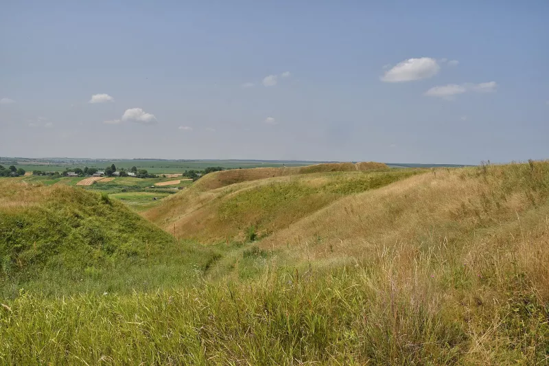
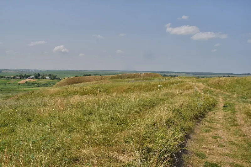
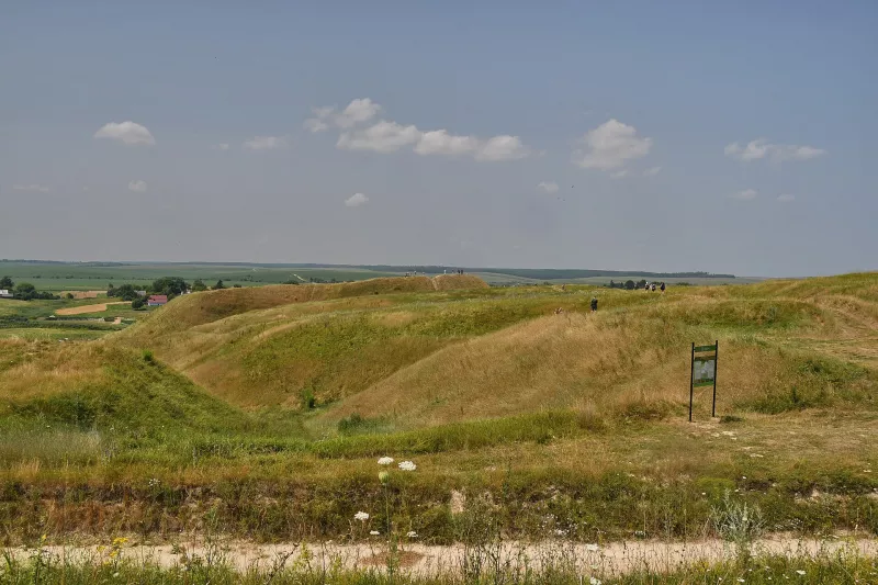
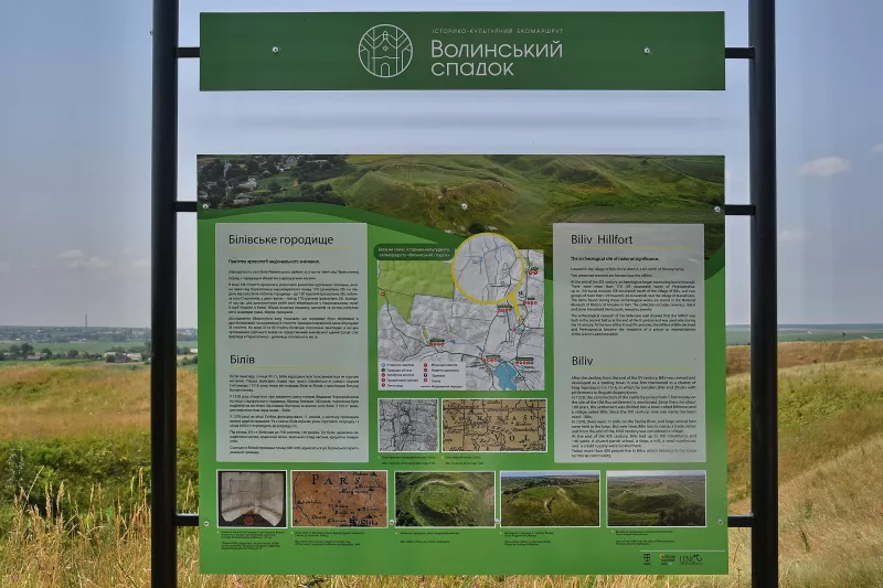

Bilivske Hillfort is an archaeological monument of national significance from the Kyivan Rus era, located on a high bank of the Stubla River near the village of Biliv, 30 kilometers west of Rivne. Thanks to its well-preserved earthen ramparts and rolling green slopes, it has been nicknamed the “Rivne Iceland,” and today it is one of the most popular places for walks and photos near Rivne.
Fortress above the Stublo
The fortification stands on a steep cape rising 25 meters above the marshy floodplain of the Stubla. To the west it was protected by the floodplain, to the south by a deep ravine, and on the accessible eastern side the builders piled a rampart up to five meters high and dug a moat up to 25 meters wide and seven meters deep. The citadel itself is small — about 45 by 80 meters.
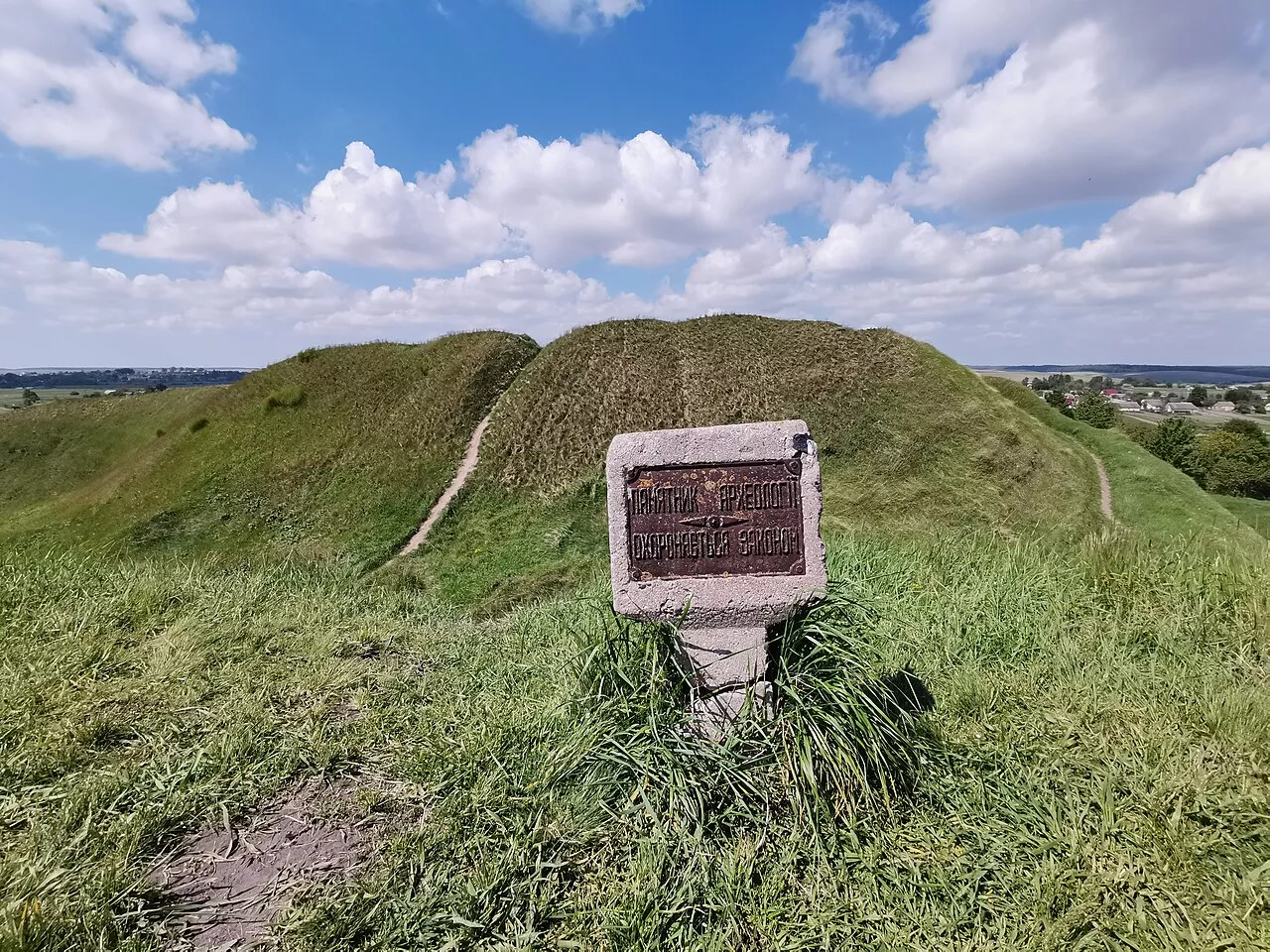
History
The fortress was built in the second half or at the end of the 10th century as a fortified outpost of the Pohoryn region, when the Volyn lands became part of the Rurikid state. Together with the surrounding settlement and burial mound cemetery, it served as a military-administrative center. At the turn of the 11th–12th centuries, the fortification declined, yielding its role as a center to the nearby Peresopnytsia, located just two kilometers to the south. During excavations, archaeologists found remains of a semi-dugout with a clay oven, above-ground stoves, and household pits.
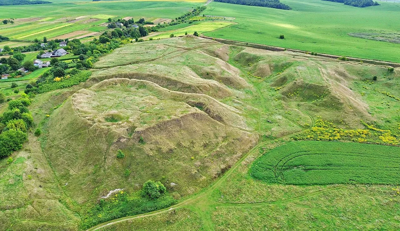
Walk
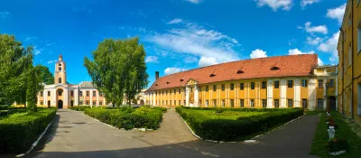
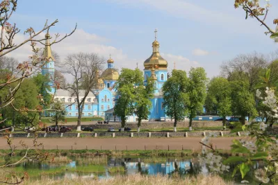
The most beautiful time to visit is in late spring and summer, when the slopes are covered with thick grass, and at sunset. Combine the hillfort with Peresopnytsia — the place where the Peresopnytsia Gospel was created.
Video
Nearby
Peresopnytsia — two kilometers south, Rivne — half an hour away. More in the article Rivne District.
How to find
The hillfort is on the southern outskirts of Biliv, on the right bank of the Stubla. It is convenient to drive there from Rivne via Peresopnytsia.