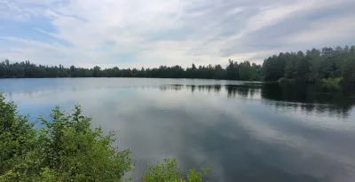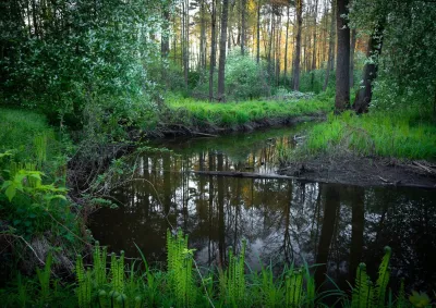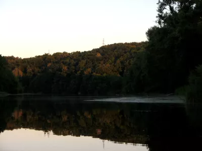

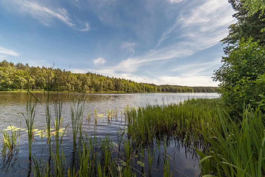
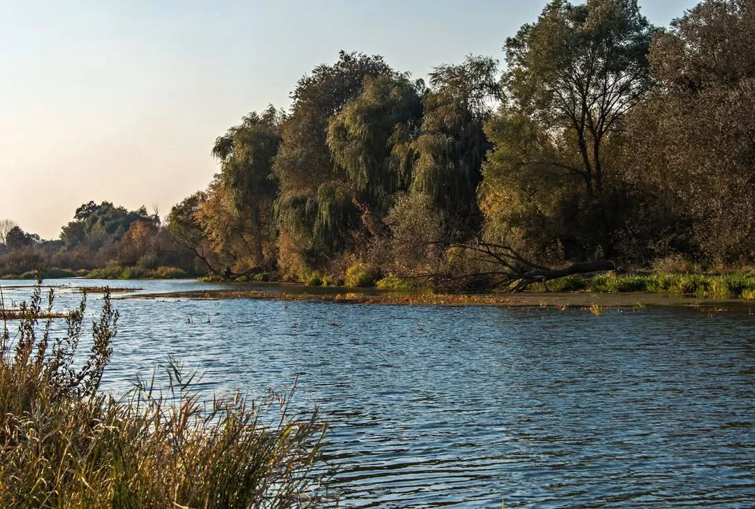
In the north of the Zhytomyr region, there is a river known perhaps only to avid water tourists — the Zherev. It is the largest tributary of the Uzh (96 km long), winding through Polissian forests from Novi Bilokorovychi to Narodychi. And somewhere in the middle of its course, near the village of Povch in the Luhyny district, stands a dam, surrounded by everything that makes wild Polissian rivers so beloved: riffles on a rocky bed, rock outcrops, pine and oak banks, and a sense of absolute solitude. This is a route not for the mass tourist, but for those seeking silence and water away from the crowds.
The Zherev River: At a Glance
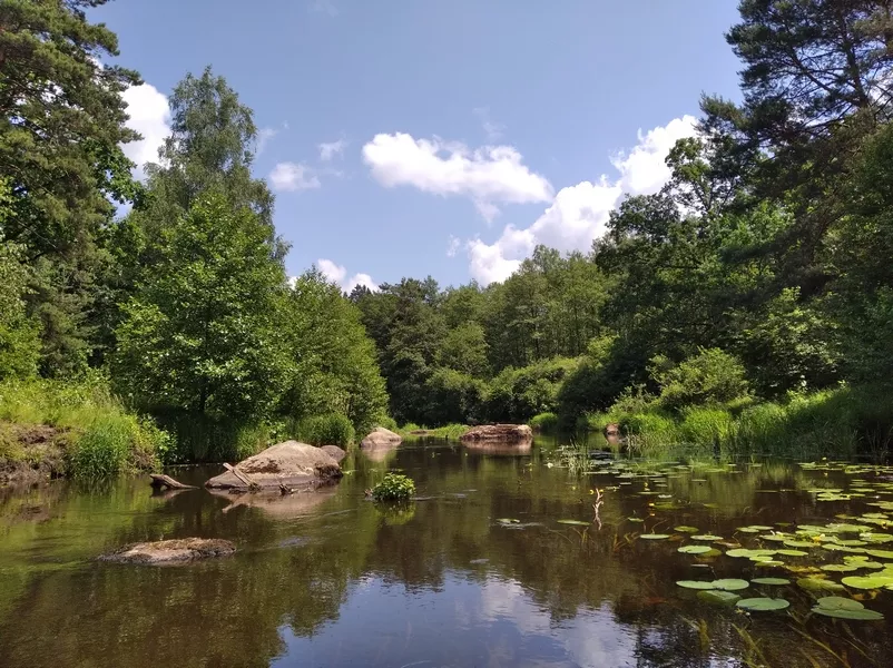
The Zherev is the left tributary of the Uzh (Pripyat basin), the largest of all its tributaries; its basin area is about 1,470 km². It originates near the urban-type settlement of Novi Bilokorovychi, flows through Luhyny and further to the northeast, past Ihnatpil and Vyazivka, and flows into the Uzh near Narodychi. This is a typical Polissian forest river: in places narrow "the width of an oar," in places expanding into reservoirs, with rocky riffles, sandy quarry lakes, and wild overgrown banks. Due to its shallows and rapids, it is especially interesting in spring and during high water.
The Povch Dam and Its Surroundings
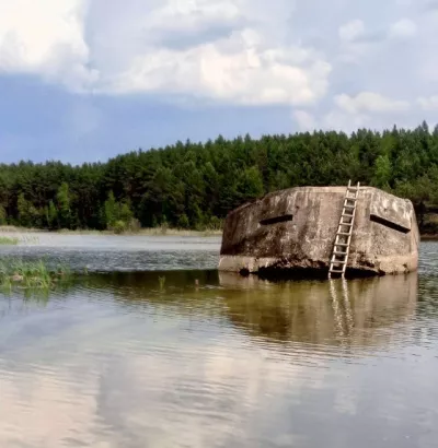
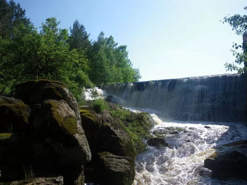
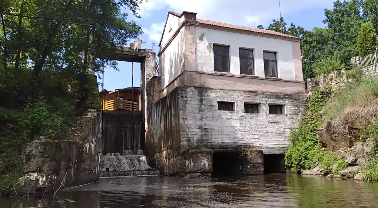
Near the village of Povch (founded in 1870), the river is dammed with a reservoir — this is an active regulatory structure rather than an abandoned ruin: the Povch recreation center operates nearby on the left bank. For water tourists, the dam is a portage spot: boats are carried through the center, across the earthen part of the dam.
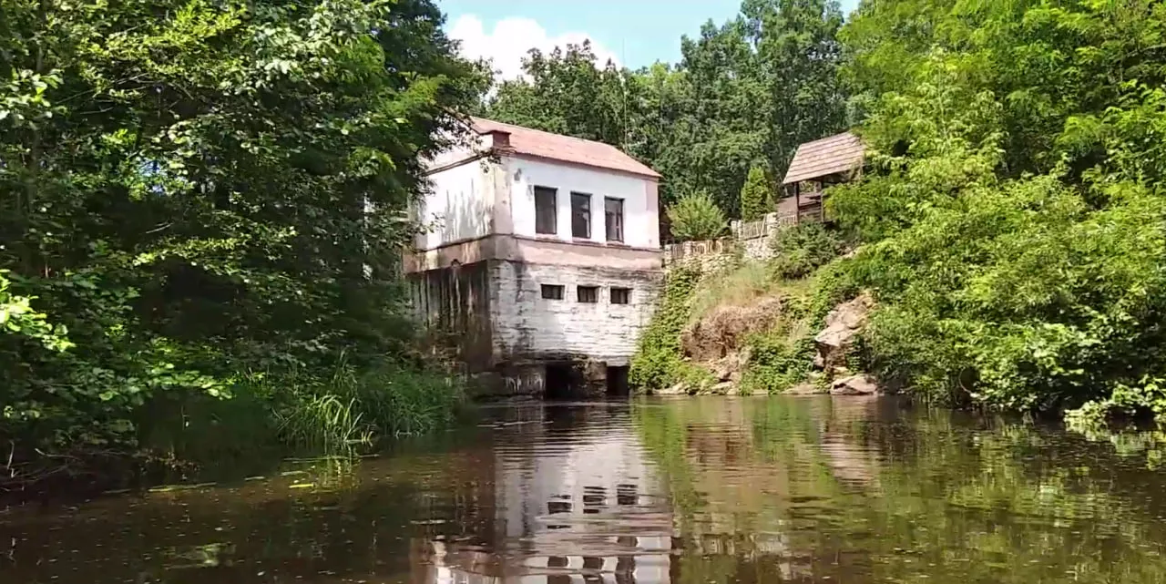
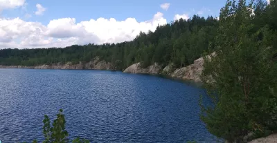
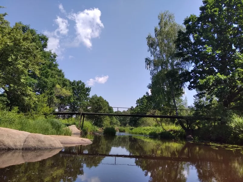
The most interesting part begins right after it. Below the dam, the Zherev narrows, and stones and small riffles appear in the channel — according to experienced travelers, a very beautiful rapid hides right here, just past the Povch HPP (hydroelectric power plant), visible even at low water. Further on, in the area of the village of Rudnia-Povchanska, the river is adorned with rock outcrops, stone masonry with narrow passages, and small rapids — picturesque, though requiring attention.
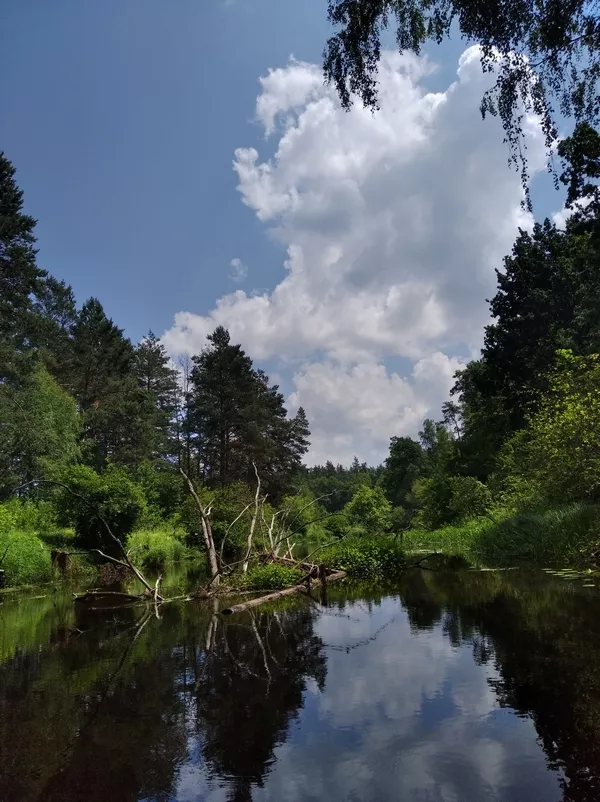
A few landmarks encountered along this stretch (according to water tourism reports):
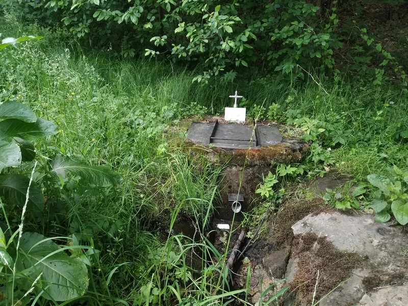
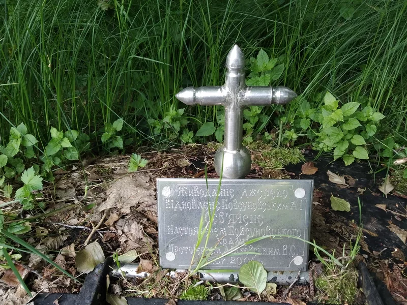
- The "Holy Life-Giving Spring" on the right bank, where you can get clean water;
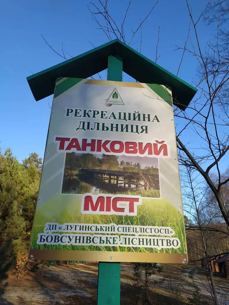
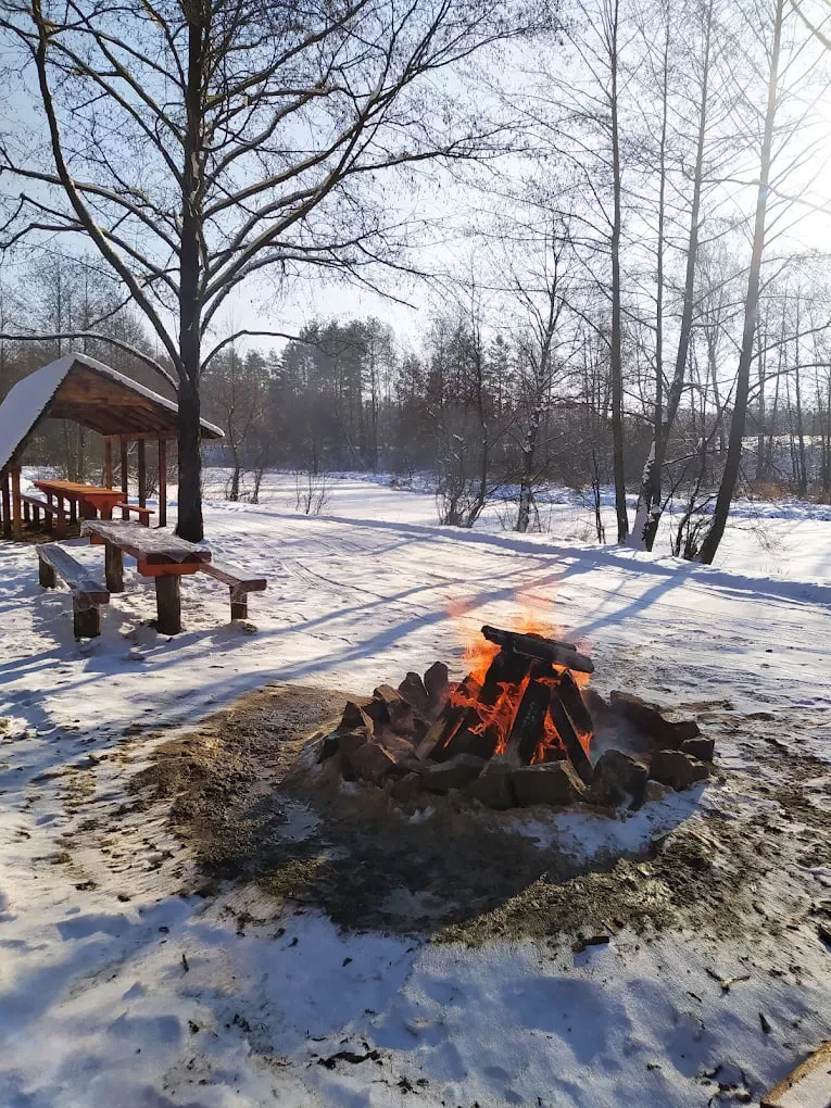
- the "Tank Bridge" recreational site by the Luhyny Special Forestry State Enterprise, featuring gazebos and a swing on the left bank. The site is located along the Zherev water tourism route on the Luhyny — Rudnia-Shatun section. It is surrounded by dense Polissia forest rich in blueberries and mushrooms, while the river itself is great for fishing or relaxing by the water;
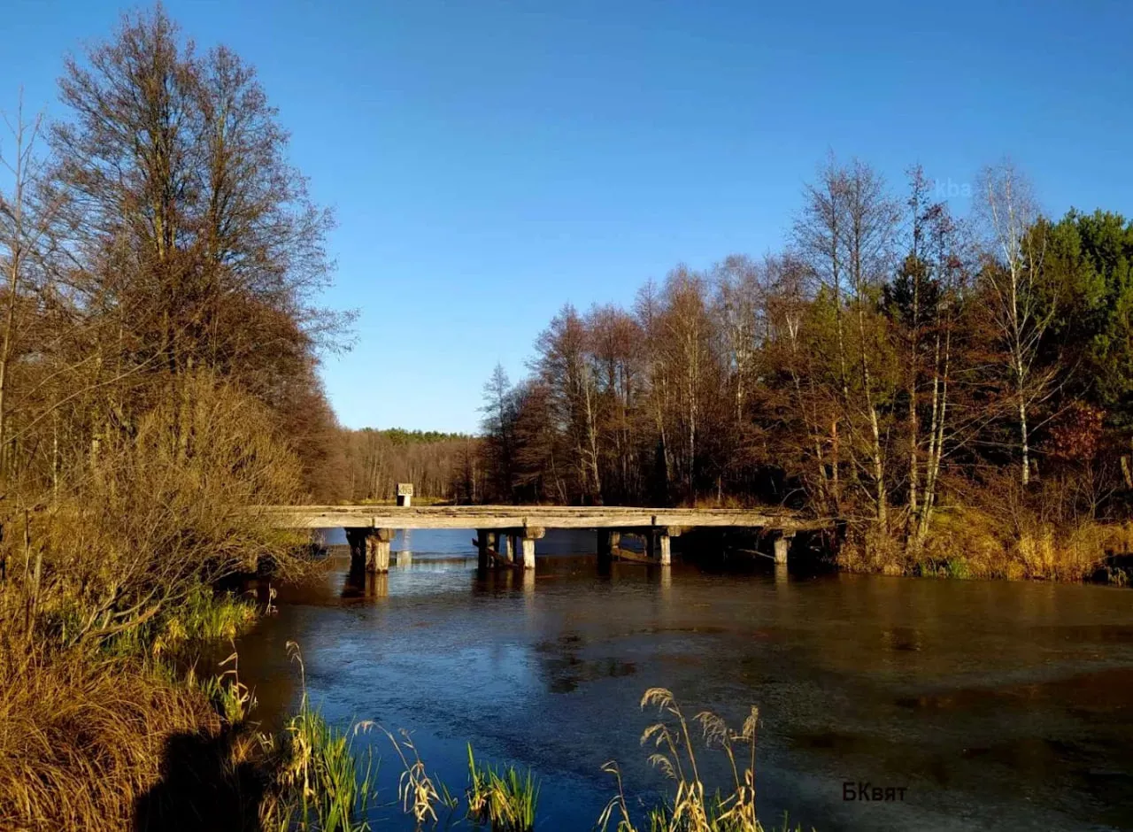
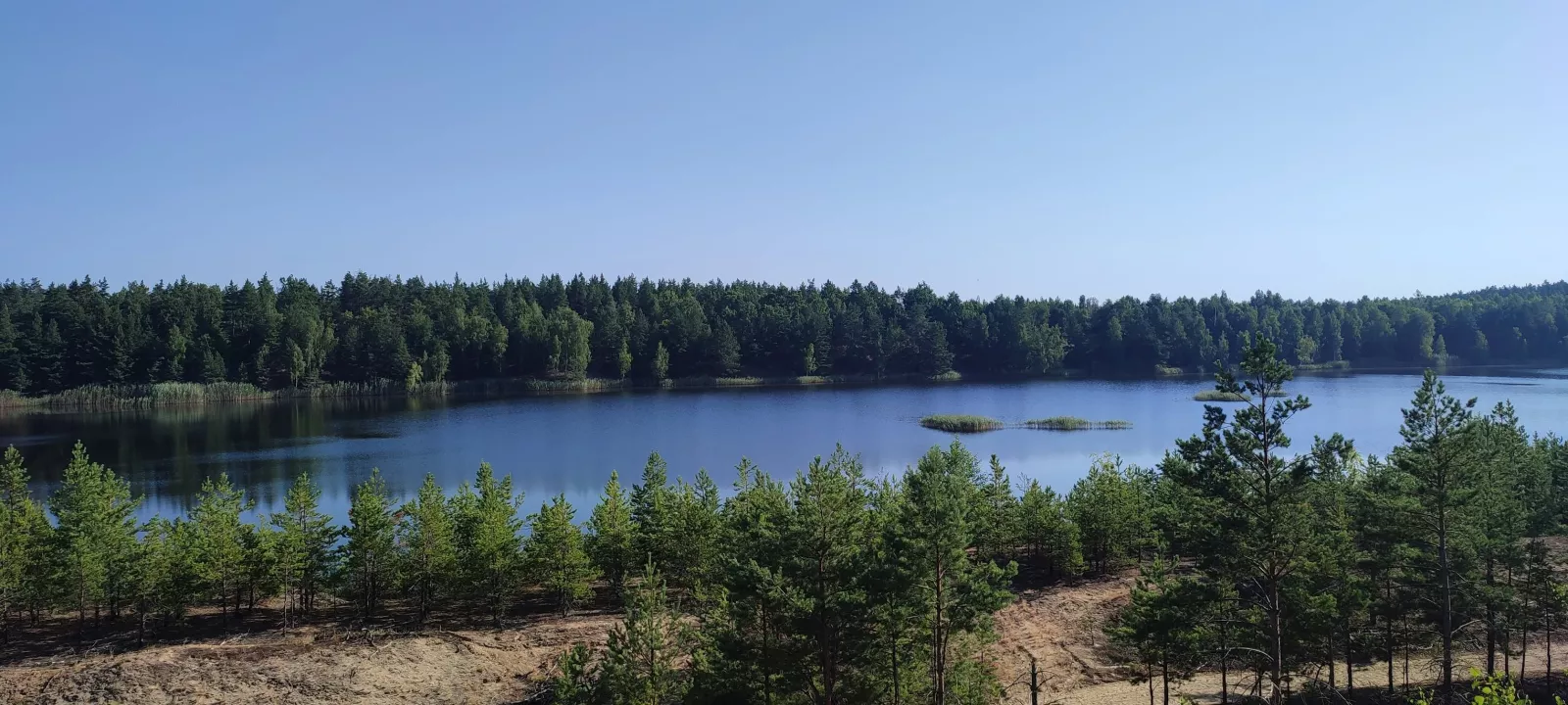
- the lake system of the Ihnatpil sand quarry, through which the Zherev flows further downstream;
- stone footbridges with narrow passages near the villages of Mlyny and Rudnia, which are navigated at speed or by guiding the boat through.
Who this place is for
This location is meant for experienced enthusiasts of wild water tourism rather than beachgoers. There are no developed beaches, kiosks, or rental shops here—instead, you will find authentic Polissia nature: pine-oak forests, clean water, silence, and an almost complete absence of people even near the gazebos. The classic format is a multi-day kayaking trip (for example, the Luhyny — Rudnia stretch, about 29 km, which tourists leisurely paddle over a few days with overnight stays in wild clearings).
What is nearby
The Zherev river route can be complemented by several surrounding points of interest:
- Ihnatpil sand quarry — a downstream lake system through which the Zherev flows. This is an active quarry operation, and locals use the lakes with their sandy shores for swimming and fishing; for water travelers, the landmark is "stay to the left in the lakes".
- Luhyny — an urban-type settlement on both banks of the Zherev, which typically serves as the starting point for kayaking trips. A former district center, now the center of the Luhyny hromada in Korosten Raion; first mentioned in written records in 1595.
- Villages of Povch and Rudnia-Povchanska — typical Polissia villages with wooden bridges, recreational sites (such as the "Tank Bridge" with gazebos and a swing on the bank), and picturesque stone footbridges across the river.
Practical tips
- When to go: ideally in spring or during high water — in summer the river becomes shallow in places, and rocky sections become difficult to pass.
- Dam portage: across the central earthen section; allow time for carrying equipment.
- Fords and low bridges: vehicle fords and low concrete bridges are encountered along the route, under which the boat has to be hauled over the top.
- Overnight stay: wild clearings and rock outcrops; convenient spots are scarce in places, so plan your stops in advance.
- What to bring: drinking water (there are springs, but not everywhere), food, footwear for wading while guiding the boat, garbage bag — there is practically no infrastructure here.
- Safety: rapids and riffles during high water require experience; a life jacket is mandatory.
Frequently Asked Questions
Where is the Povch dam located?
Near the village of Povch on the Zherev River, in the Luhyny hromada of Korosten Raion, Zhytomyr Oblast.
What is the Zherev River?
A left tributary of the Uzh, 96 km long — the largest tributary of the Uzh; it flows through Polissian forests from Novyi Bilokorovychi to Narodychi.
Is the Povch dam abandoned or active?
This is an active regulating dam with a reservoir; nearby on the left bank, the Povch recreation center operates.
Is it possible to go kayaking there?
Yes, this is a popular route among water tourists; the dam is portaged via the earthen section, and further down there are rapids and rocky sections.
What is interesting below the dam?
A beautiful rapid right behind the dam, rock outcrops near Rudnia-Povchanska, stone masonry with narrow passages, and riffles.
When is the best time to visit?
In spring or during high water — in summer the river becomes shallow in places.
Is there any recreational infrastructure there?
Practically none: there is a recreation center near the dam and a few wild gazebos, but there are no kiosks, rentals, or beaches — bring everything you need with you.
What is the classic route passing through the dam?
For example, the Luhyny — Rudnia stretch (about 29 km), which is usually covered in a few days with overnight stays.