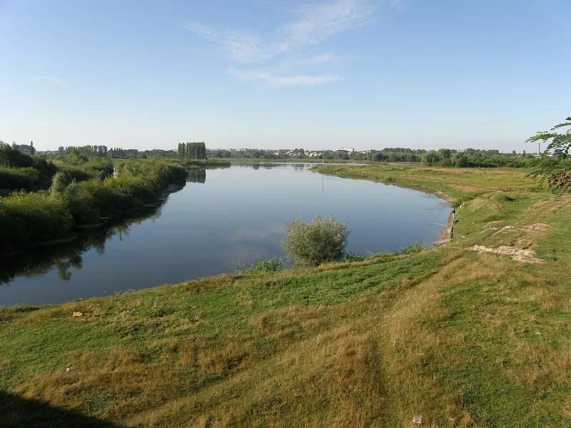
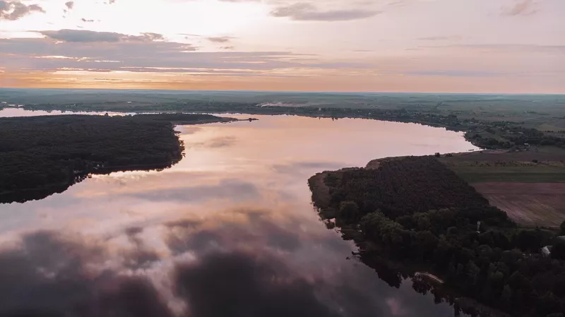
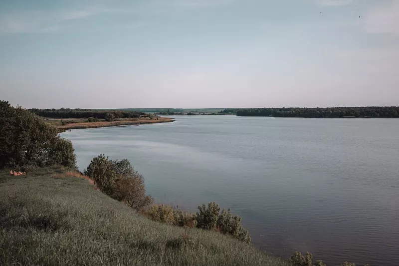
Styr is one of the main rivers of Volhynia. It begins in the Lviv region, crosses the Rivne and Volhynia regions, flows through Lutsk, and empties into the Prypiat already in Belarus. The length of the Styr is 483 kilometres, and along this path it changes from a narrow stream among hills into a wide Polissian river with floodplains and oxbow lakes.
Where the name comes from
The origin of the name is not completely clear. Most likely, it is Slavic and means "that which expands, overflows its banks" — and this suits well a river that floods for kilometres in spring.
From Voroniaky to the Prypiat
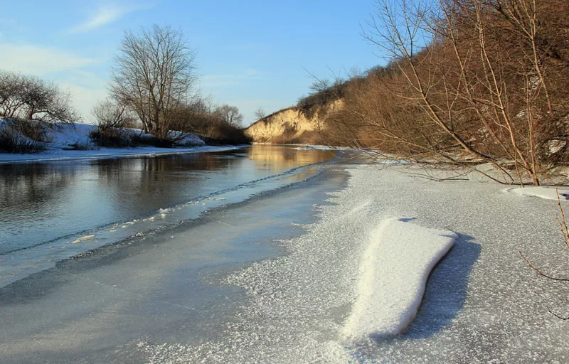
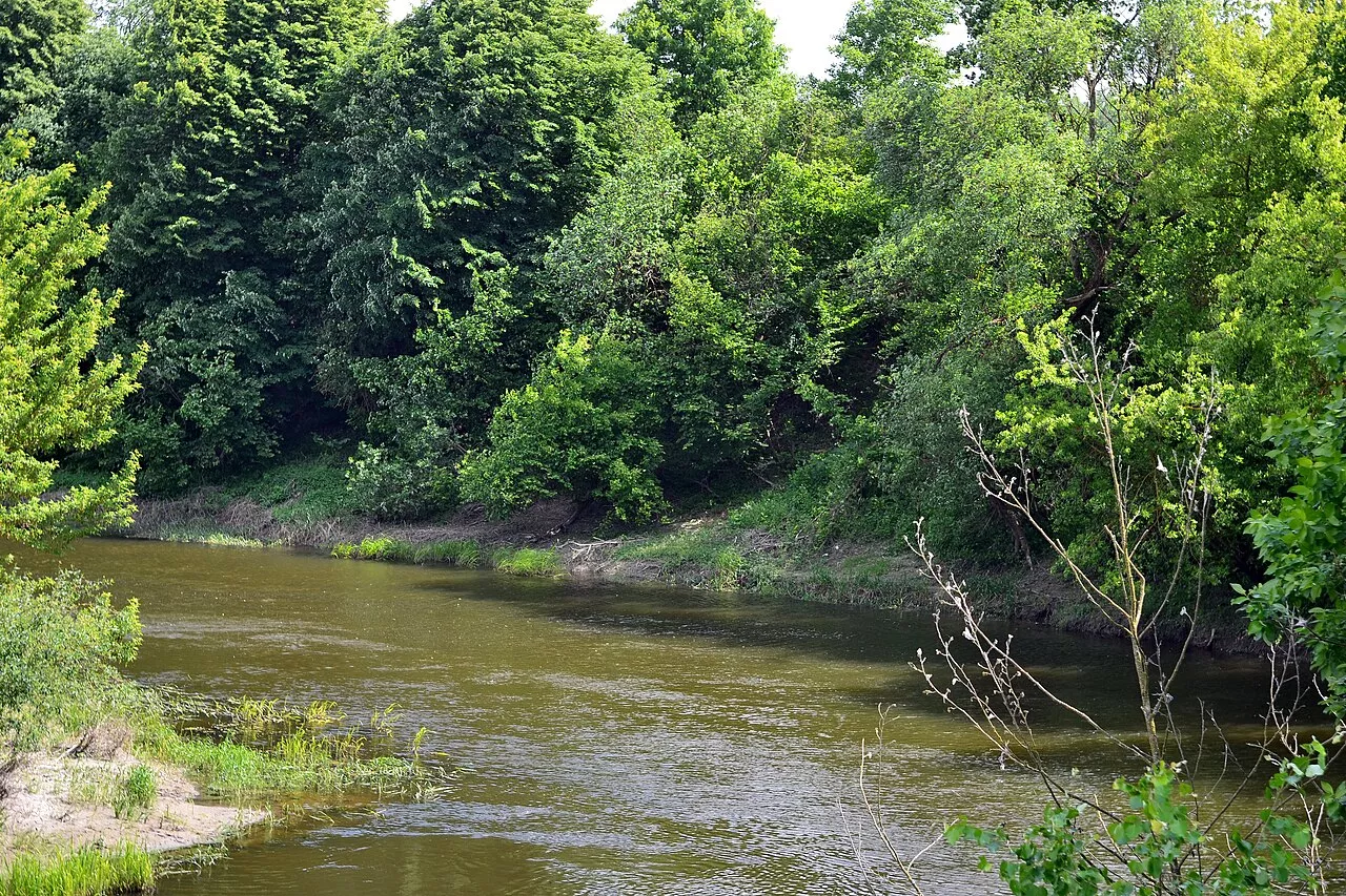
The Styr originates from springs in a boggy gully near the village of Vydra in the Lviv region, among the hills of Voroniaky. Further on, it crosses the Brody Plain, the Volhynian Upland, and the Polissian Lowland. In the upper reaches, the river is two to ten metres wide and densely overgrown; in the middle and lower reaches, it expands to 30–50 metres, and near Stara Rafalivka and Mlynok — up to a hundred.
Eight kilometres from the border with Belarus, the Styr divides into two branches: the left, main one — Prostyr, and the right — Staryi Styr. Both are connected by Hnyla Prypiat — the old channel of the Prypiat.
Towns and castles along the Styr
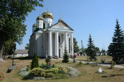
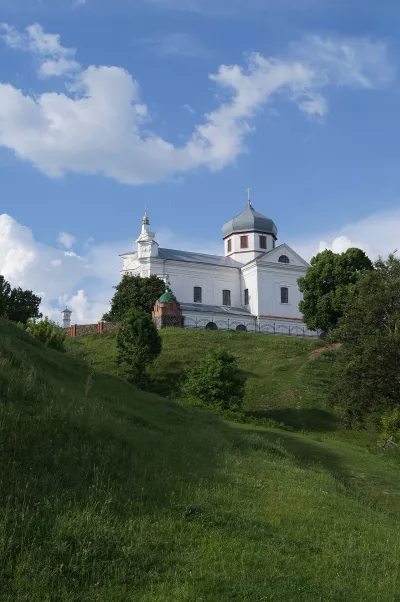
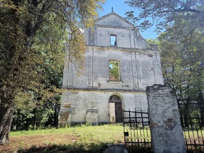
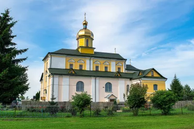
From Berestechko, the Styr is navigable all the way to its mouth. Lutsk with Lubart's Castle stands upon it, followed by Rozhyshche, Kolky, Chortoryisk with its Baroque church, Rafalivka, and Zarichne. Timber was once rafted down the river; now kayaks and motorboats ply it, and anglers love its banks.
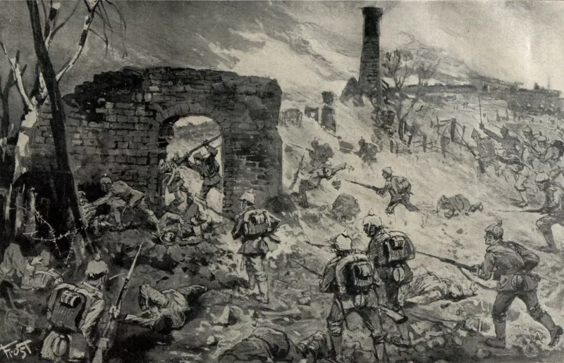
The front of 1915–1916
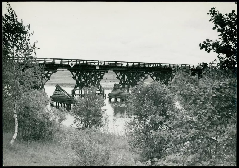
During the First World War, the frontline ran along the Styr for a long time. In the autumn of 1915, fierce battles took place here between Russian and Austro-German troops, and in 1916 the Styr became one of the lines of the Brusilov Offensive.
Nature
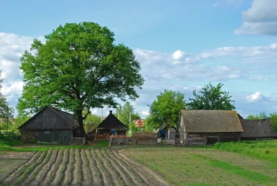
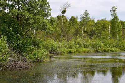
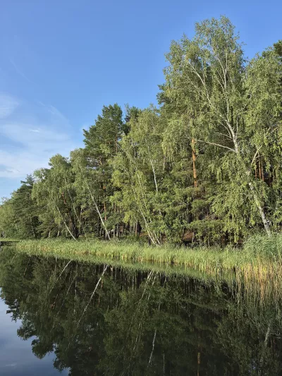
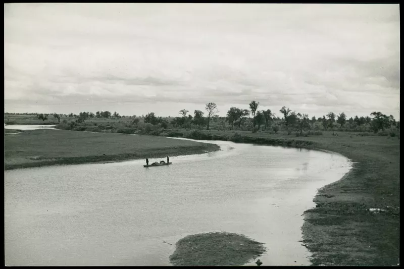
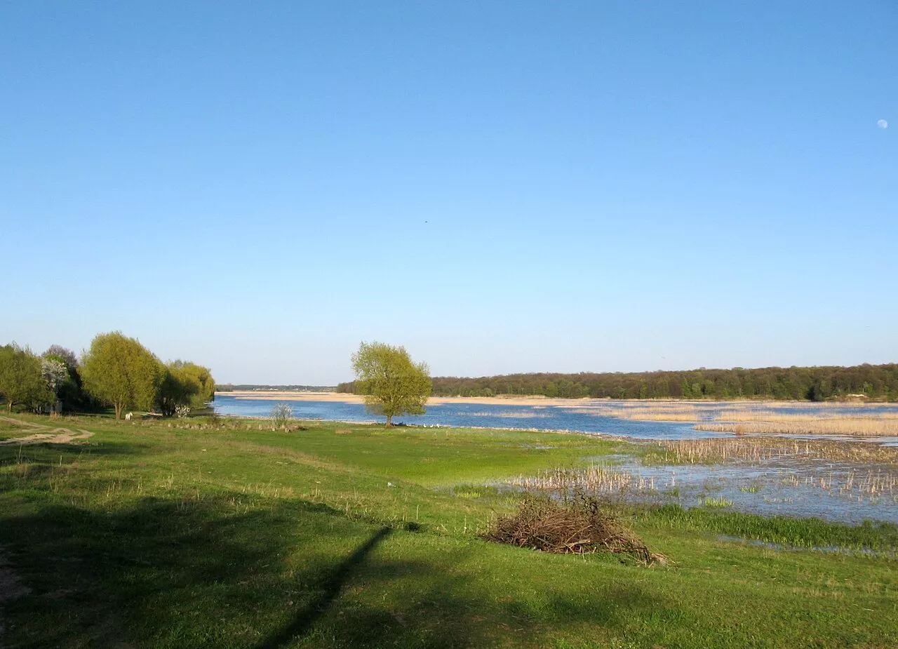
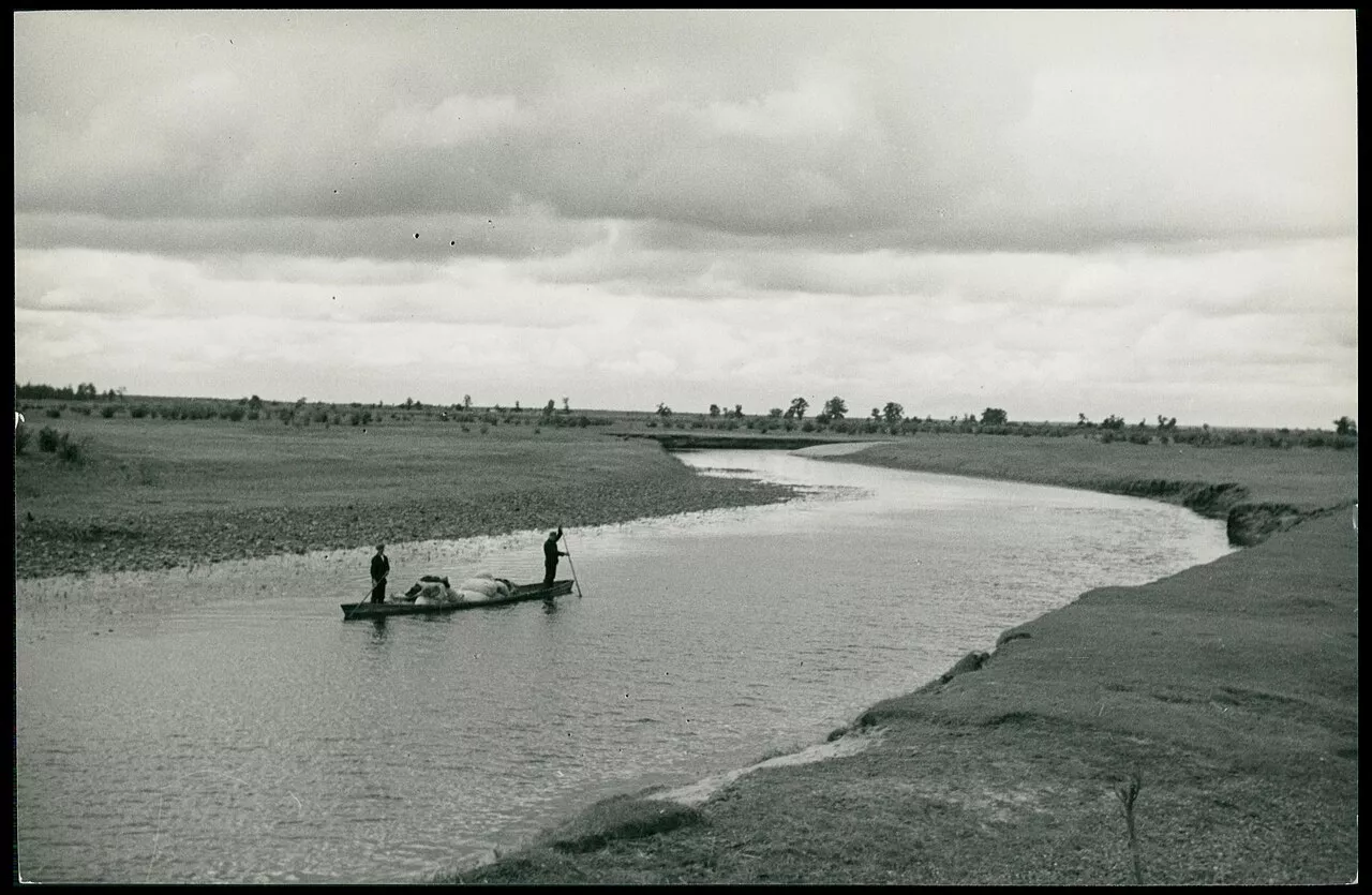
In its lower reaches, the Styr flows among Polissian bogs, meadows, and forests. The banks are low, sandy or peaty, with bushes and scattered trees. In spring, the river floods widely, while in summer the depth reaches two to two and a half metres in the reaches, and up to eight metres in deep holes. The current is slow, making the Styr suitable for peaceful kayaking trips.
Fishing
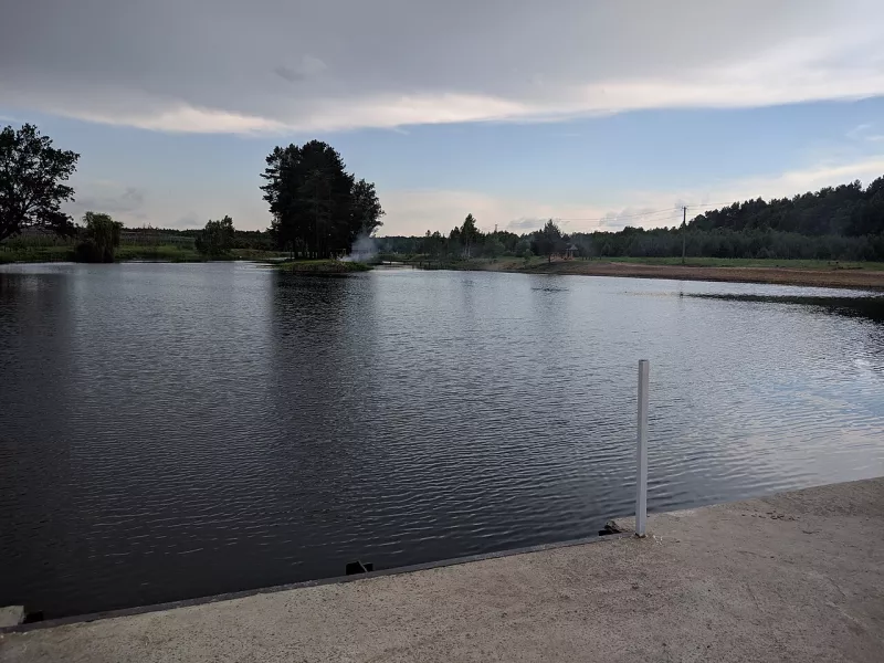
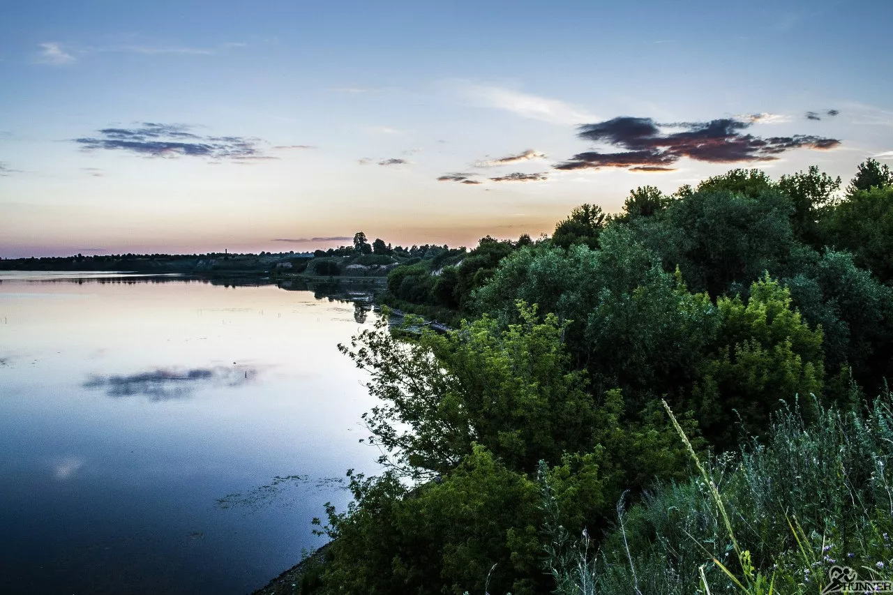
Pike, perch, bream, roach, rudd, catfish, carp, Prussian carp, and tench are caught in the Styr and in the Khrinnyky Reservoir, which is located on the river. The current is slow, the depth is two to two and a half metres in the reaches, and up to eight metres in individual deep holes. Predators are sought near deep holes and under steep banks, while peaceful fish are found in the reaches. General fishing rules apply, and starting from 1 November, fishing in wintering pits is prohibited — list and map of pits.
Styr on video
Nearby
Lutsk, Berestechko, Kolky, Chartoryysk and Zarichne are towns and villages along the Styr.
How to get there
The easiest way to see the Styr in Lutsk is from the embankment or near Lubart's Castle. For rafting, the most popular sections are downstream from Lutsk and in Polissia near Kolky.