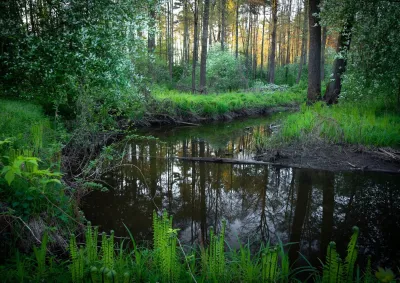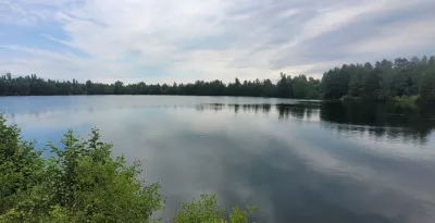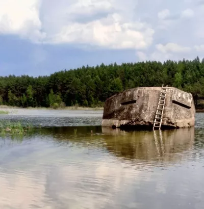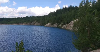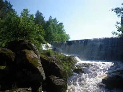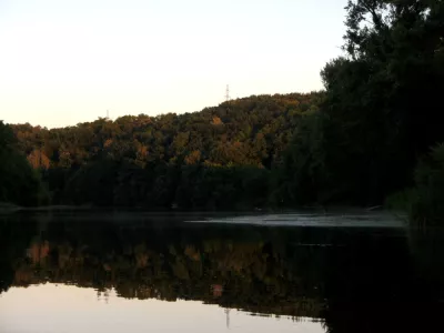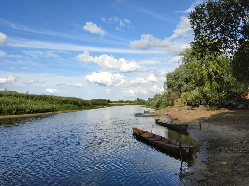
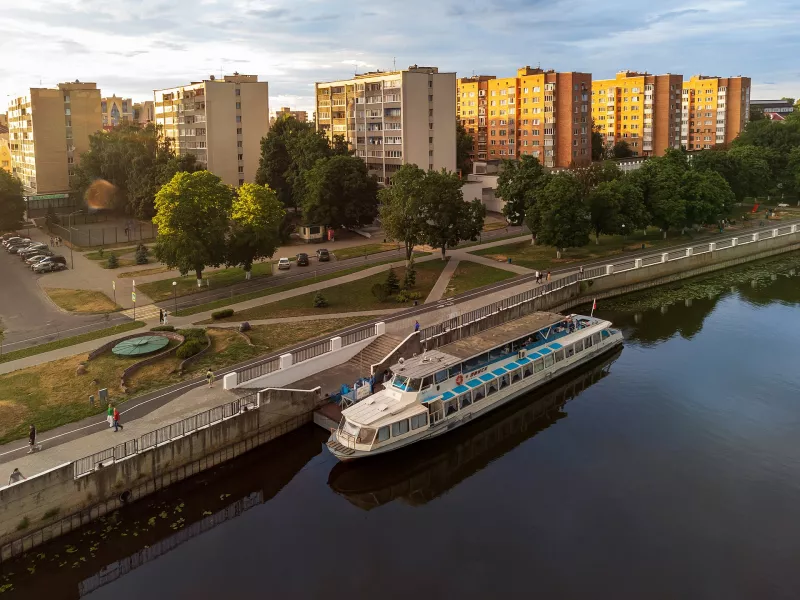
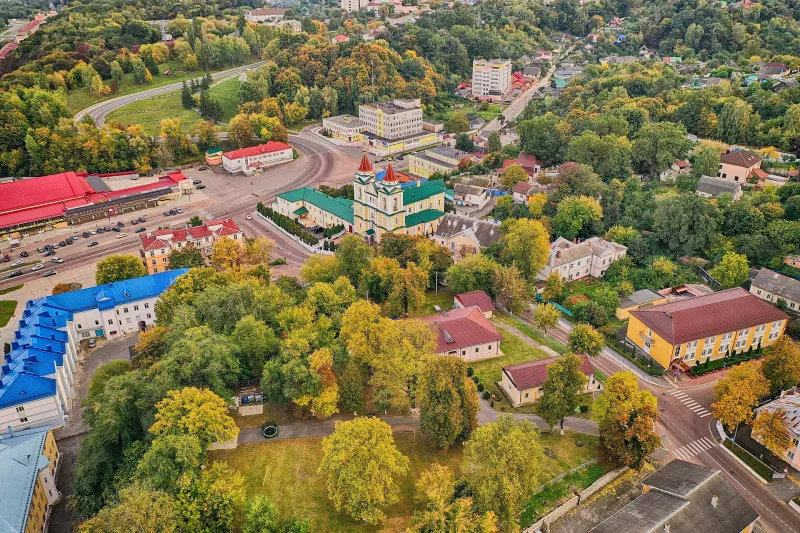
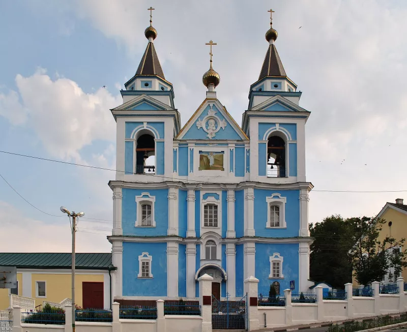
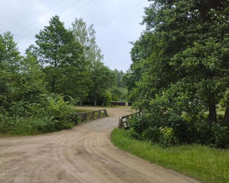

Belarusian Polissia is a natural, historical and geographical region in the south of Belarus. Its landscapes are shaped by rivers, wetland lowlands, peat bogs, forests and lakes. It is home to the ancient cities of Pinsk and Turov, hilly Mazyr, as well as protected areas that preserve some of the largest wetland expanses in Europe.
Belarusian Polissia is part of a larger natural region that also extends across the territory of Ukraine and Poland. In Belarus, it primarily covers Brest and Homel regions, as well as parts of Minsk and Mahilyou regions. For the Ukrainian reader, these are very familiar lands: the same Prypiat flowing through Volyn, the same bogs, forests and Polissian dialects on both sides of the border.
Important: due to the security situation and the closed border with Ukraine, this material is a geographical and historical overview rather than a travel recommendation.
Briefly
- Where: south of Belarus — Brest and Homel regions, partially Minsk and Mahilyou regions; borders the Ukrainian regions of Volyn, Rivne, Zhytomyr, Kyiv and Chernihiv.
- Main river: Prypiat (~775 km, over 500 km in Belarus) with its tributaries Pina, Yaselda, Horyn, Styr, Ptsich.
- Ancient cities: Pinsk, Turov, Mazyr.
- Nature: Prypiatsky National Park, Sporava Nature Reserve, Olman Bogs, Lake Chyrvonaye.
- Engineering landmark: 18th-century Oinski Canal between the Neman and Dnipro basins.
Prypiat — the main river of Polissia
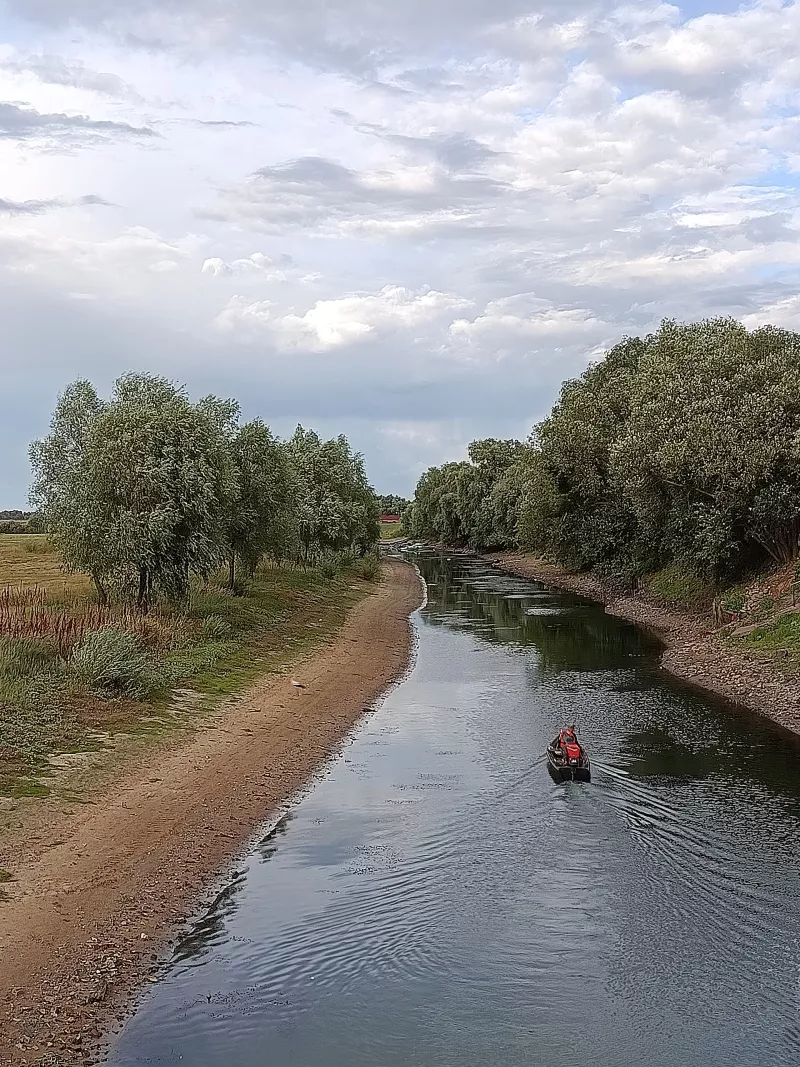
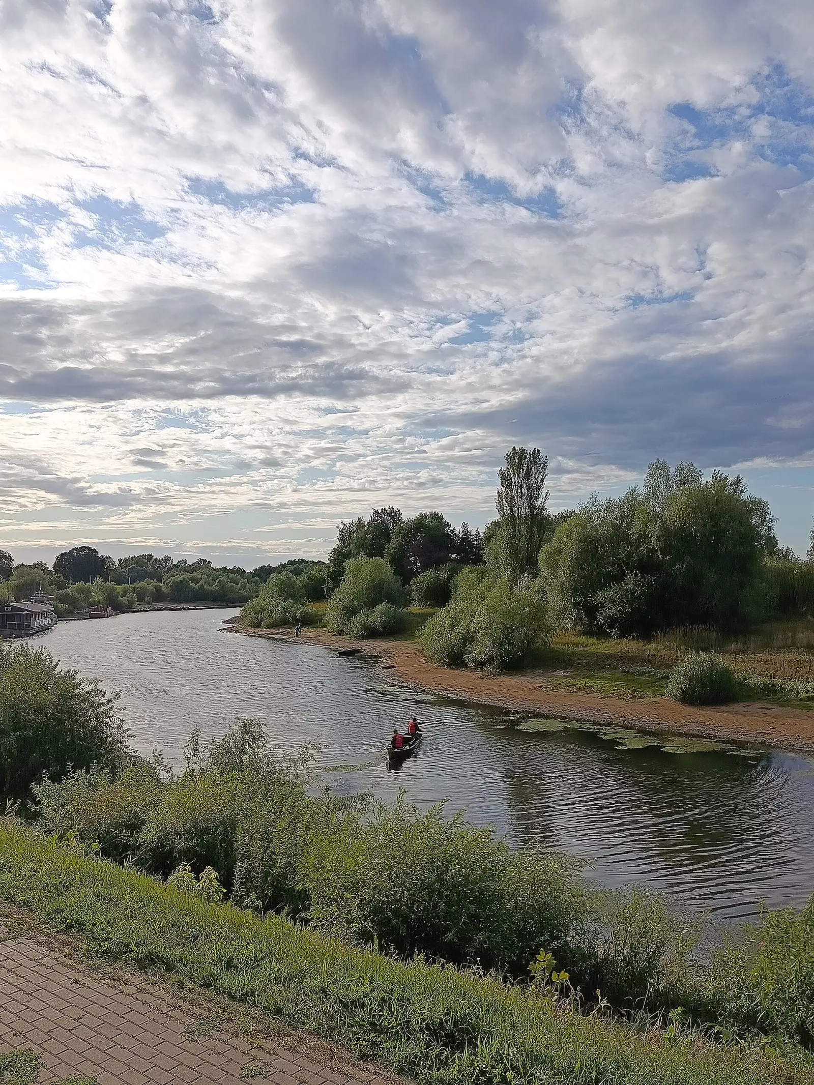
The Prypiat is a right tributary of the Dnipro, about 775 km long. It originates in Volyn, crosses the border into Belarus, and then flows through the Polissian Lowland amidst wide floodplains and wetland areas. The river runs for over 500 km through Belarusian territory, and below Mazyr it returns to Ukraine again — flowing through the Chornobyl zone to the Kyiv Reservoir.
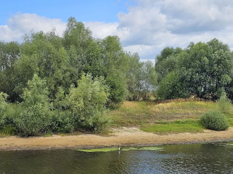
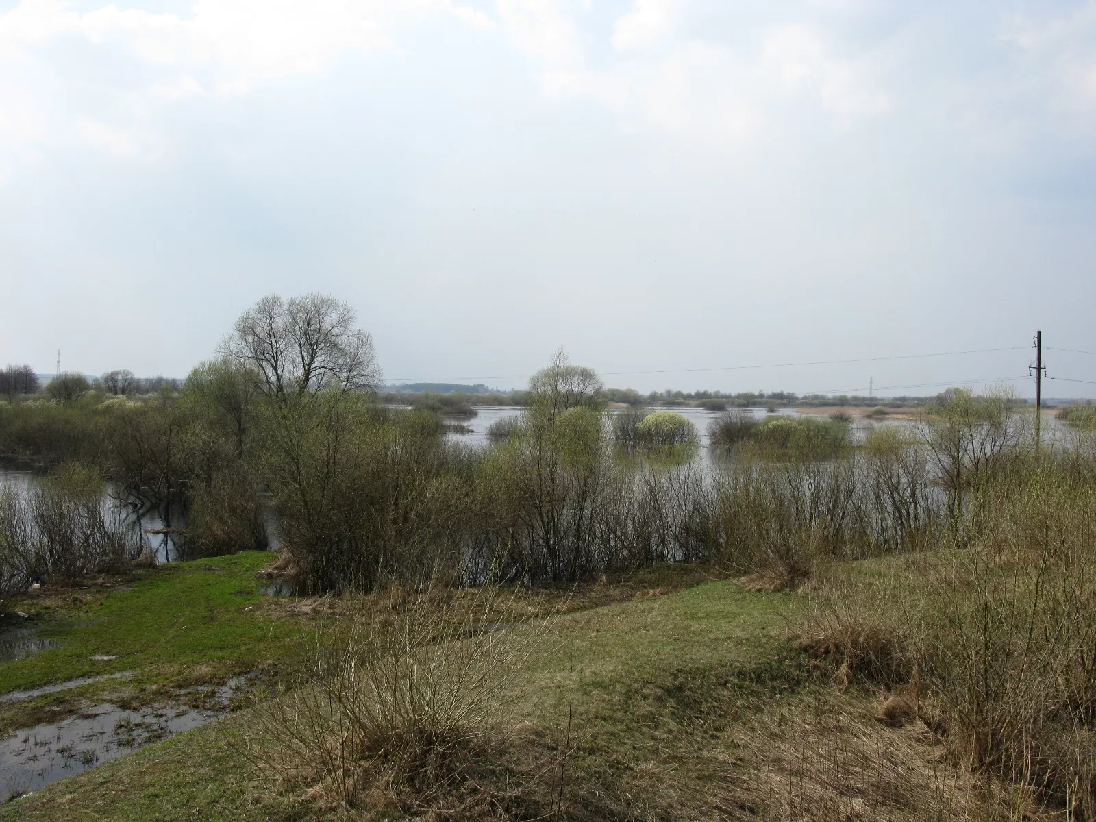
In spring, the water level rises due to melting snow and water inflow from tributaries. The Prypiat overflows its banks, flooding low-lying floodplain areas, sometimes several kilometers wide. Such floods sustain wetland ecosystems, create conditions for fish spawning, and provide shelter for many bird species.
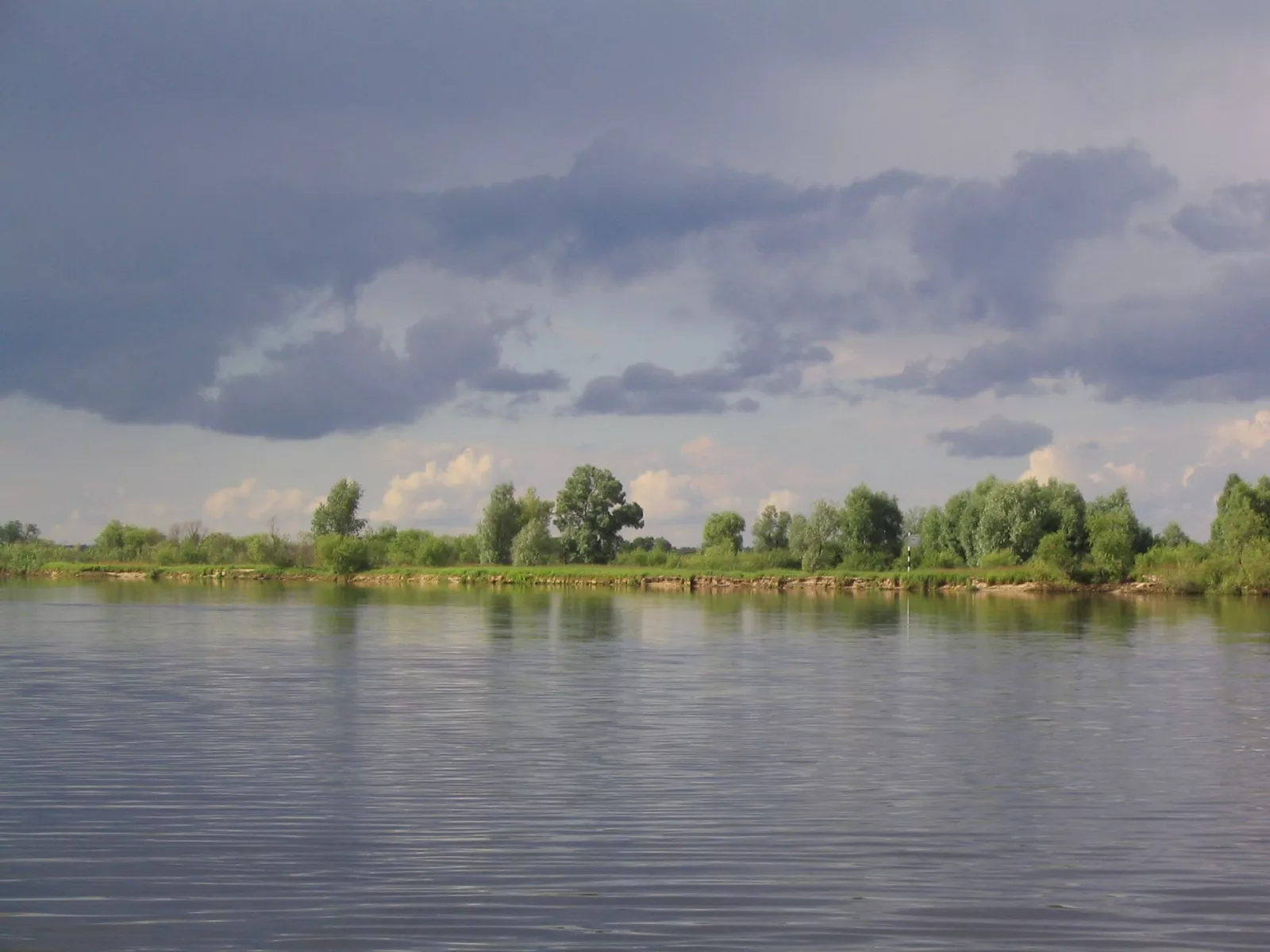
The river also influenced the settlement of the region. Waterways connected settlements and facilitated trade and cargo transportation. Therefore, the historical cities of Polissia often stand near the Prypiat and its tributaries. Via the Pina, the Dnieper-Bug Canal and the Mukhavets, the Prypiat is still connected to the Bug basin, and thus to the Baltic Sea.
Pinsk and the Pinsk region
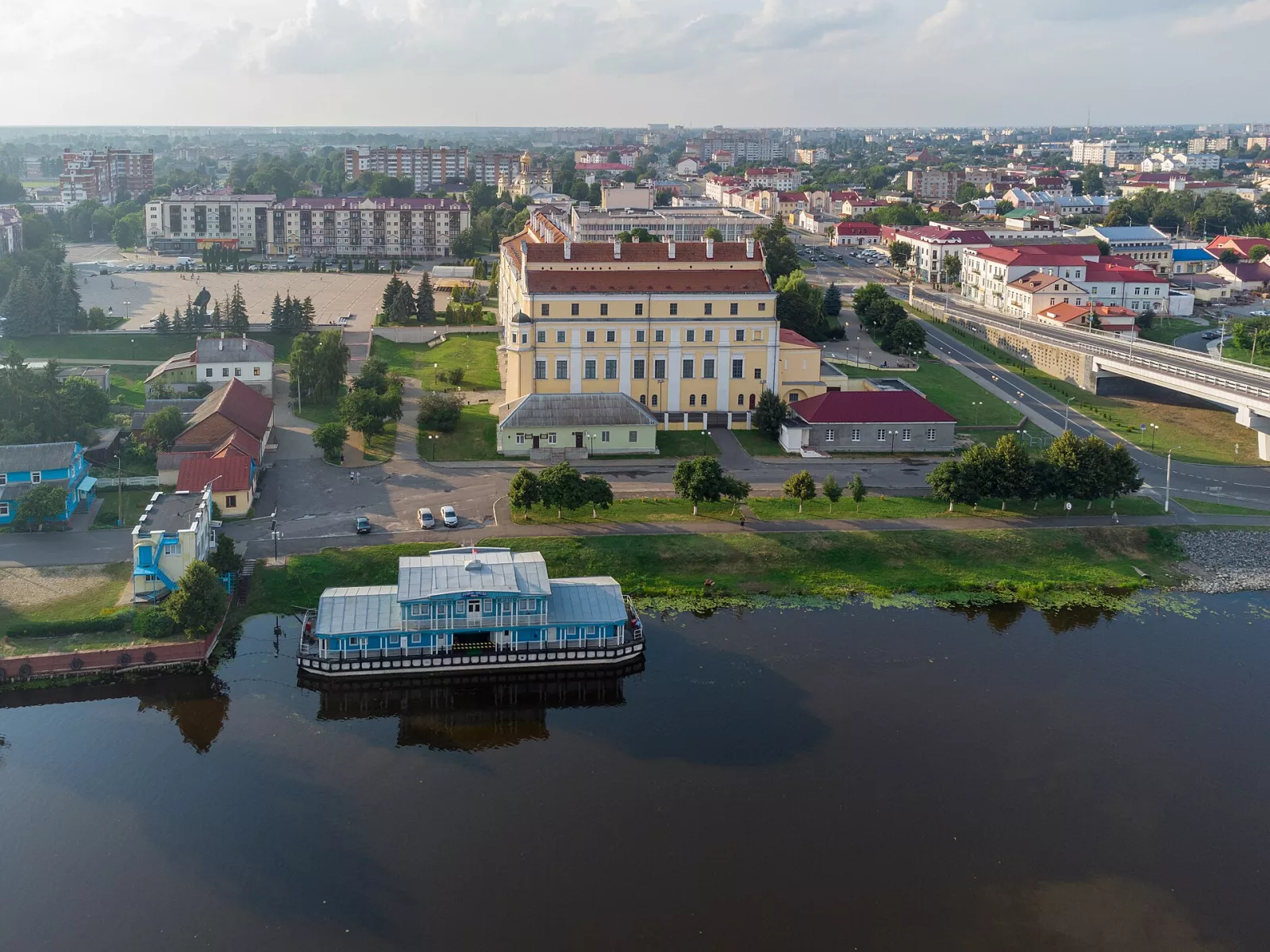
Pinsk is one of the most famous historical cities of Belarusian Polissia, often called the "capital of Polissia". The city stands on the Pina River near its confluence with the Prypiat, and its development has always been tied to waterways: for centuries they were important for trade, cargo transportation and fishing. The first chronicled mention of Pinsk dates back to 1097.
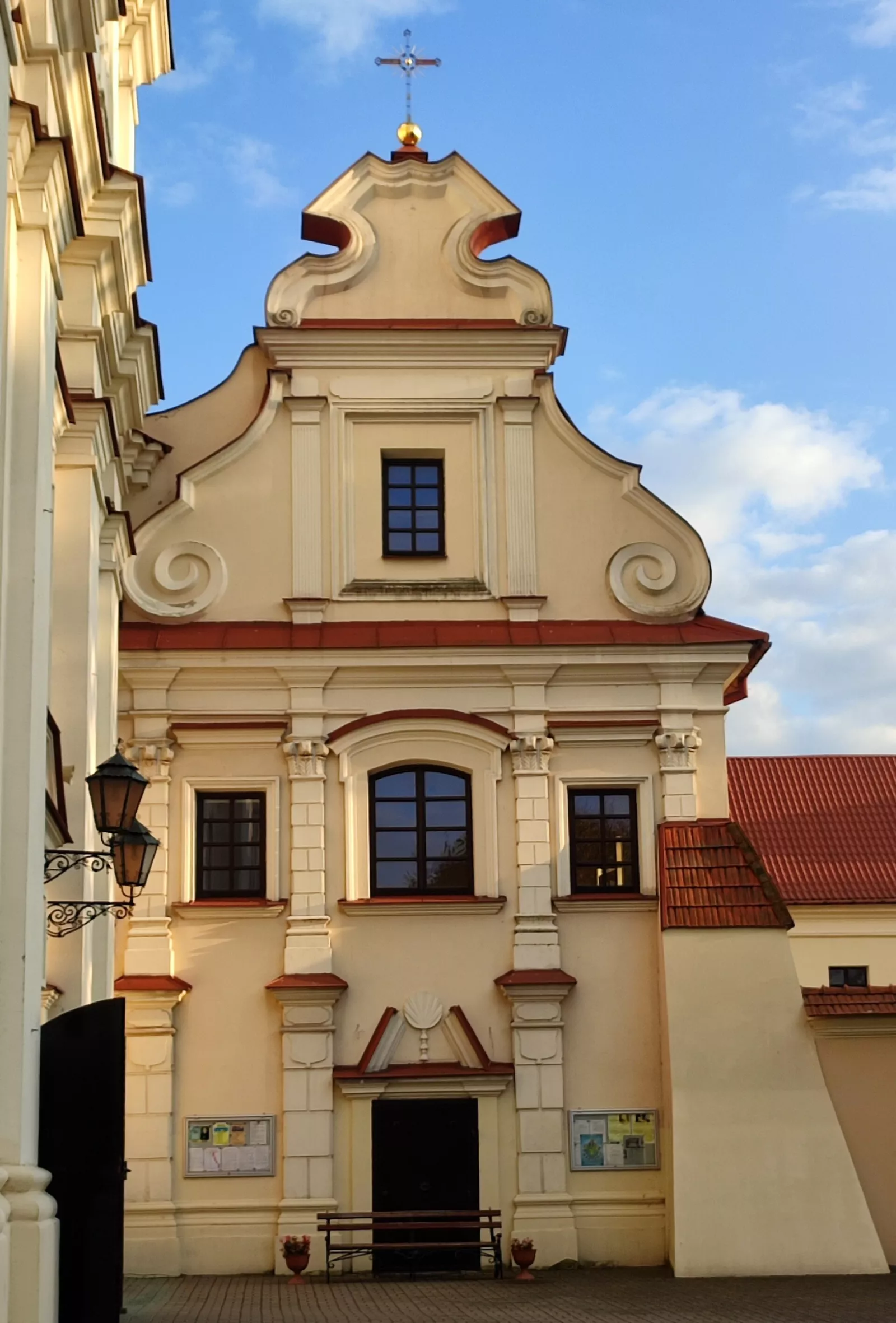
The historic center preserves old buildings, churches, and architectural landmarks from various periods. The most famous are the 17th-century Jesuit Collegium above the Pina River (now the Museum of Belarusian Polissia) and the Franciscan monastery with the Cathedral of the Assumption of the Blessed Virgin Mary, one of the most interesting Baroque monuments in the region. Along the Pina stretches an embankment with a river pier.
Pinshchyna is also an area with ancient traditions of fishing, the use of floodplains, and forest resources. Its history is closely connected with water transport, which long remained the main means of communication between villages: sometimes in spring, a neighboring village could only be reached by boat.
Video: "Pinsk — is it worth visiting? People, places, food, and features of the city", Artem Ryndevych channel (in Russian).
Turaŭ — a city with a chronicled history
Turaŭ is situated on the right bank of the Prypiat River in Gomel Region. In the Middle Ages, it was the center of the Principality of Turaŭ and an important political and cultural hub of the southern lands. Today it is a small town, but with a very deep history.
The city is mentioned in the Tale of Bygone Years under the year 980. However, this chronicled mention also contains legendary information, so it should not be considered a precisely established founding date for Turaŭ.
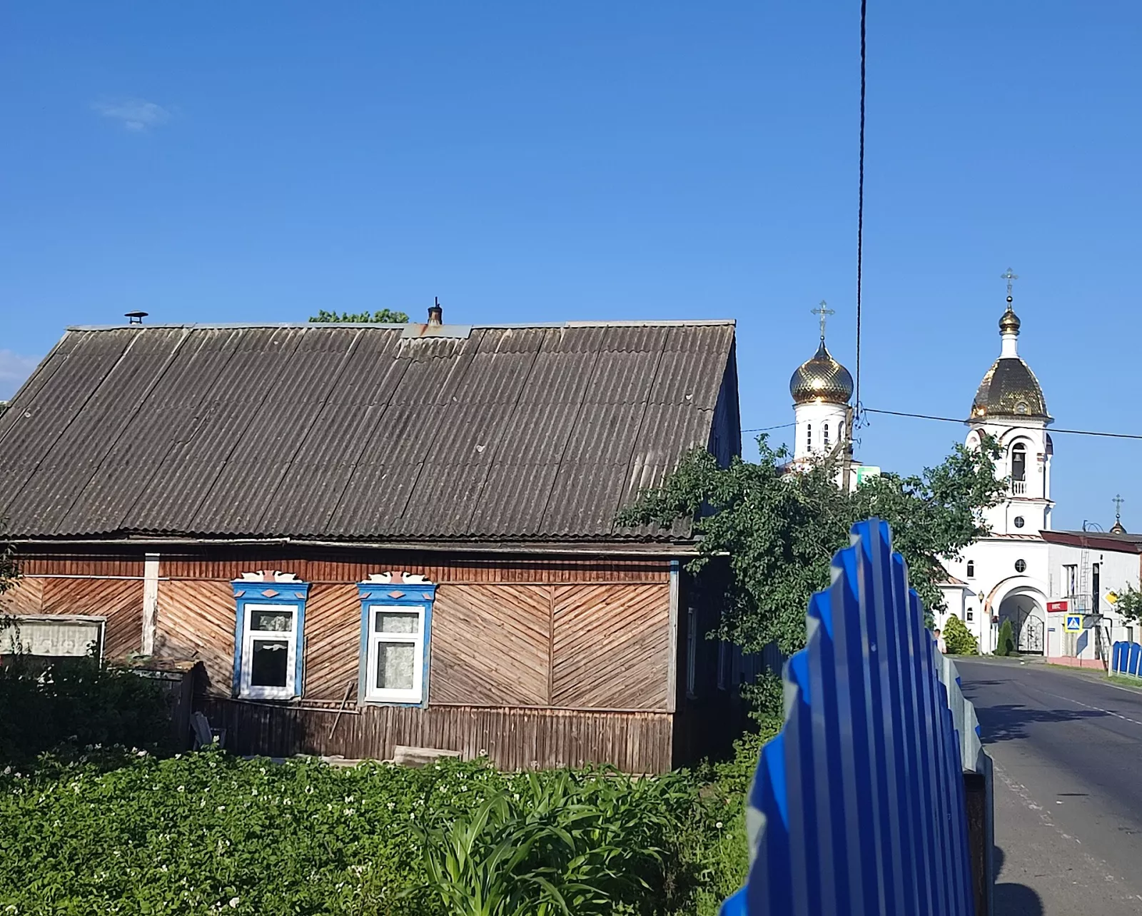
Turaŭ was one of the early centers of Christianity in the region. The year 1005 is traditionally associated with the establishment of the episcopal see, although the historical grounds for it are not entirely reliable. Cyril of Turaŭ hails from here — one of the most famous writers and preachers of Kievan Rus of the 12th century. On Castle Hill, archaeologists have uncovered the remains of an ancient citadel and church foundations, and wooden Polissian architecture has been preserved in the town.
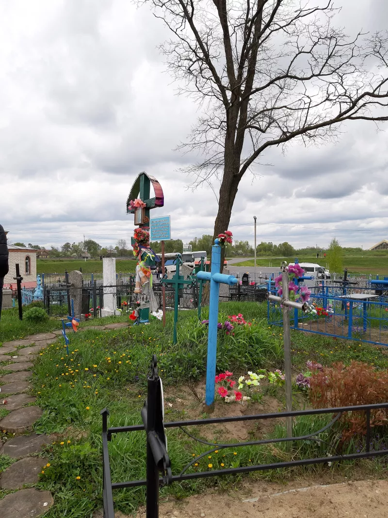
A special place in Turaŭ is the Borys-Hlib Cemetery. Old stone crosses stand here, about which locals tell a legend: supposedly these crosses "grow" out of the ground by themselves. Pilgrims come to them, and the place itself has become one of the most famous shrines of Polissia.
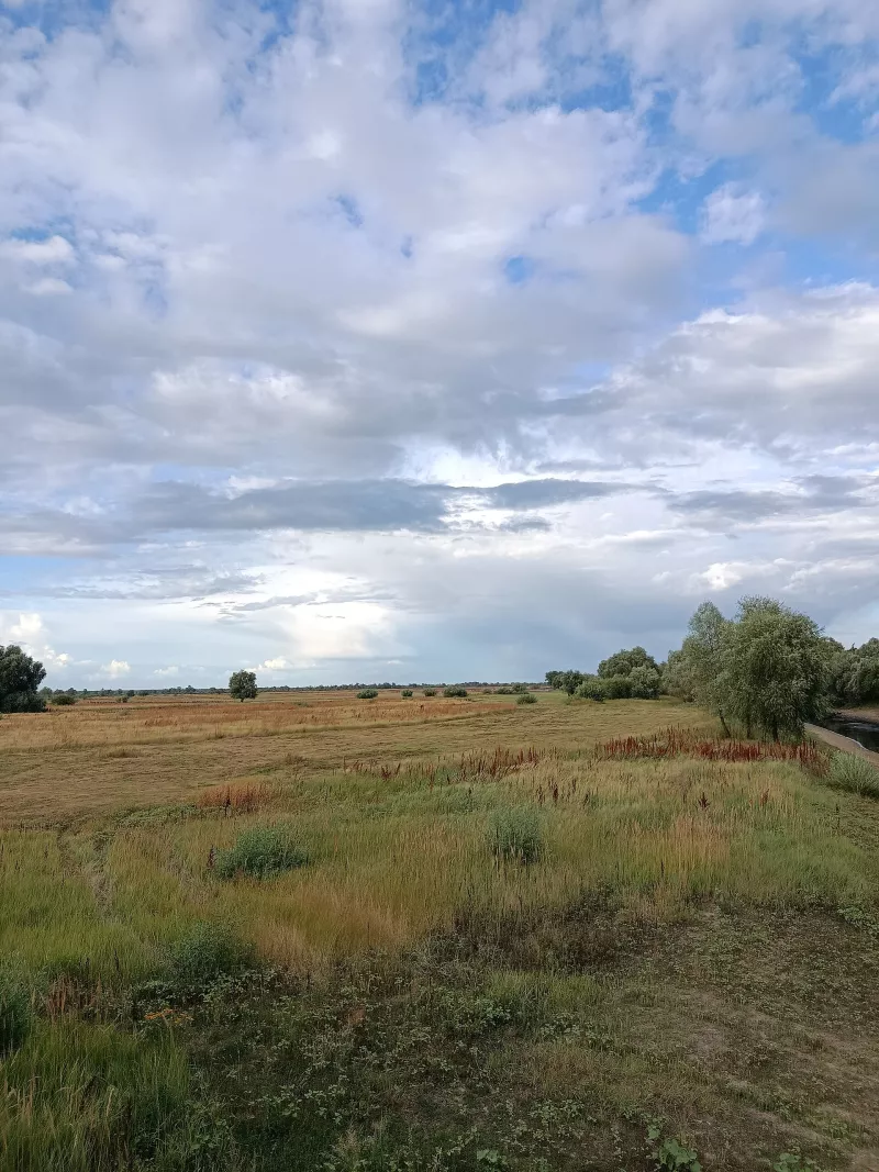
Near the town lies the Turaŭ Meadow — a Prypiat floodplain where thousands of sandpipers, herons, and ducks gather in spring and summer. This is one of the most famous bird-watching areas in Eastern Europe. The history of Turaŭ demonstrates the importance of the Prypiat not only as a natural artery, but also as a route that connected settlements and contributed to the development of trade and culture.
Video: «Polissia and the Prypiat River: agritourism estate, river ferry and ancient Turaŭ», Mik Han channel (in Russian).
Mazyr: hills amidst the Polissian Lowland
Mazyr stands out for its relief, which is unusual for a significant part of Belarusian Polissia. The city is located on the Mazyr Ridge above the Prypiat, where hills and deep ravines contrast with the surrounding flat wetland areas. The elevation difference in the city reaches several tens of metres, so the streets wind in serpentines, and long stairs are built between the neighborhoods.
On Castle Hill, a wooden castle with towers and a palisade has been recreated on the site of an ancient fortification from the times of the Grand Duchy of Lithuania. Nearby is the Mazyr Ravines landscape reserve with a network of deep, forest-covered ravines.
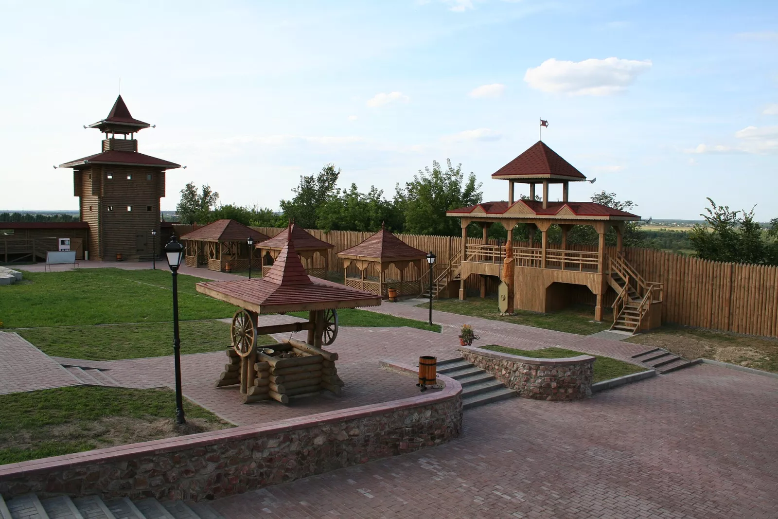
This city clearly demonstrates that Polissia is not a uniform plain: alongside floodplains and swamps, there are elevated areas with more complex relief.
Video: «Mazyr: a unique place for tourism or a city stuck in time?», SeeReality channel (in Russian).
Swamps and forests: the natural wealth of the region
Wetlands are one of the main natural features of Polissia. They encompass floodplain meadows, swampy forests, peatlands, and seasonally flooded lands. Interspersed among them are drier forest tracts, agricultural lands, and settlements.
Swamps are not just a habitat for plants and animals. They accumulate water, influence its movement in the landscape, and shape special conditions for vegetation. Drainage and alteration of the natural water regime can disrupt these processes — in the second half of the twentieth century, a significant portion of Polissian swamps was drained for fields, and the consequences of this (drying up of rivers and lakes, peat fires) are still noticeable today.
One of the largest preserved swamp tracts in Europe is the Olman Swamps in Stolin District, right on the border with Ukraine. On the Ukrainian side, they are continued by the swamps of the Rivne Nature Reserve: this is a single natural tract divided by the border.
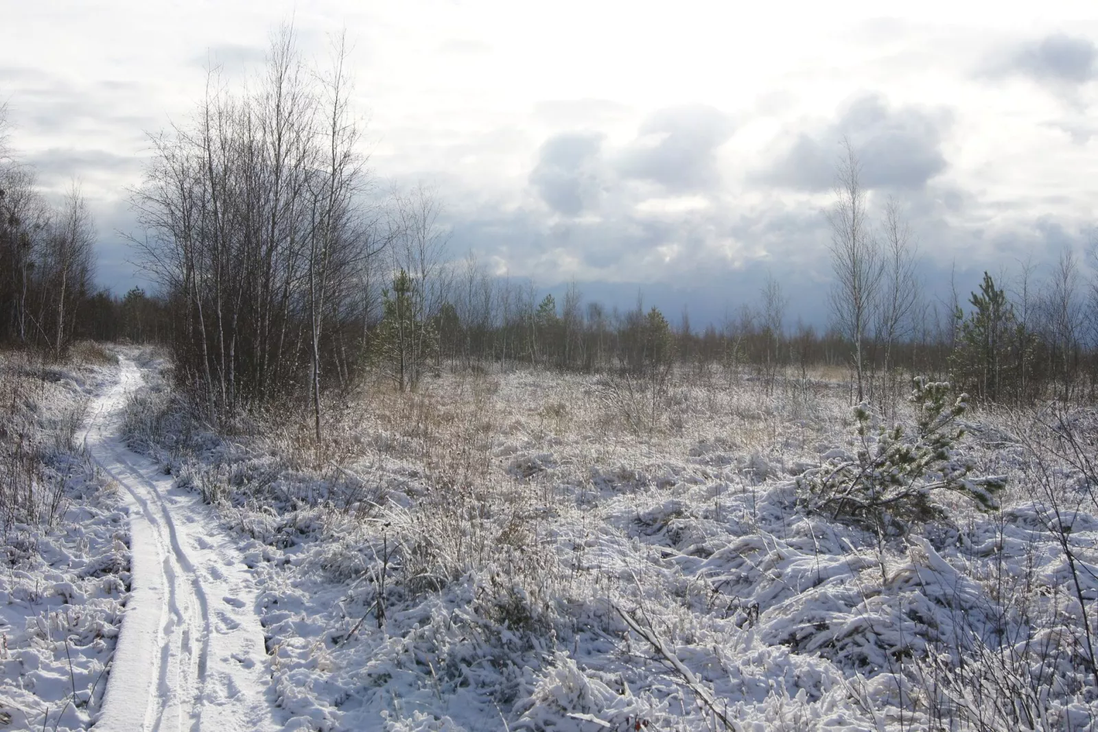
At the same time, a swamp does not necessarily mean impassable terrain. Polissia features open meadows, pine and broad-leaved forests, river banks, and various types of peatlands, each with its own natural conditions.
Prypiatsky National Park
The Pripyatsky National Park in Homel Region protects the natural complexes of the Prypiat valley between Turaŭ and Petrykaŭ: floodplains, oak groves, boggy forests, and peatlands. Landscapes that have disappeared in many other parts of Europe due to land drainage and river straightening have been preserved here. Because of this, the area is sometimes called the "Polissian Amazon".
A feature of the park is the dependence of natural processes on seasonal floods. Rising water levels change conditions in meadows and forests, and the floodplain provides a habitat for many species of birds, fish, and other animals. The park also includes the Turaŭ Meadow.
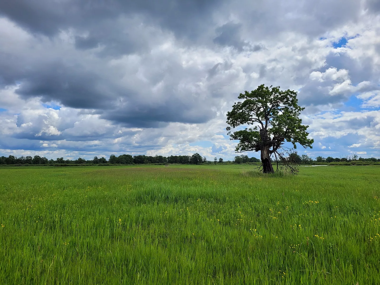
The conservation of such areas is important not only for protecting individual species. The natural floodplain supports the water regime of a large river system and preserves the landscape characteristic of Polissia.
Video: "Prypiat: unique places of the Belarusian Amazon, Pripyatsky National Park", Anastasia Konstantinova Puteshestviya channel (in Russian).
Sporauski Zakaznik
The Sporauski Republican Biological Zakaznik in Brest Region is another important conservation area of Belarusian Polissia. It encompasses the floodplain of the Jasielda River and Lake Sporauskae, is known for its wetlands, and has international conservation significance (Ramsar site).
The zakaznik was created to preserve wetland ecosystems and the species dependent on them. The aquatic warbler — one of the rarest songbirds in Europe, a significant part of whose global population lives precisely in the Polissian bogs — nests here. The natural value of the zakaznik is linked to maintaining an appropriate water regime, as drainage and other changes affect vegetation and animal living conditions. An eco-trail with crossings over the Jasielda has been laid out for visitors.
Video: "New eco-trail with crossings over the Jasielda in the Sporauski Zakaznik", Denys Maruk channel (in Russian).
Lake Chervonaye — one of the region's largest water bodies
Lake Chervonaye, also known as Kniazhoye, is located in Zhytkavichy District of Homel Region. This large, shallow freshwater lake is the largest in Belarusian Polissia.
Its area is about 40 km², the average depth is approximately 1.2 m, and the maximum depth is about 4.5 m. Figures may vary slightly depending on the source and water level: due to the drainage of surrounding bogs, the lake is gradually becoming shallower.
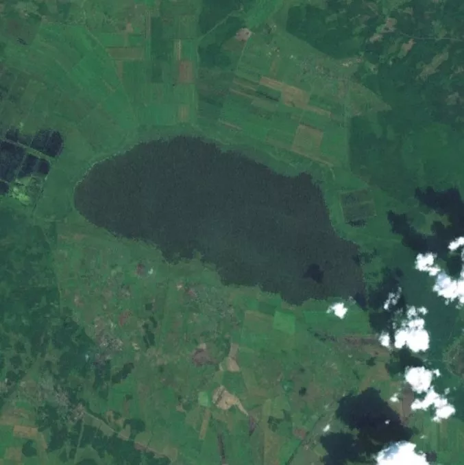
Shallow water and coastal vegetation create conditions for aquatic organisms and birds. The lake is also important for fishing. The ability to relax on specific parts of the shore depends on local regulations and the availability of the territory.
Video: "Nature of Polissia. Part 2: Lake Chervone, Prypiat River", Dima Nekrashevych channel (in Russian).
Oginski Canal: History of Water Communication
The Oginski Canal is a historical waterway built in the 18th century to connect the Neman and Dnieper river basins. It was constructed in 1767–1783 on the initiative of Hetman of the Grand Duchy of Lithuania Michal Kazimierz Ogiński. The length of the canal was approximately 54 km.
The canal connected the Shchara and Yaselda rivers through Lake Vyhonouske. It was used to transport cargo and float timber. As a result of wars, the canal suffered destruction. After World War I it was restored, but later it lost its former transport significance. In places, the canal has overgrown and turned into a quiet forest channel.
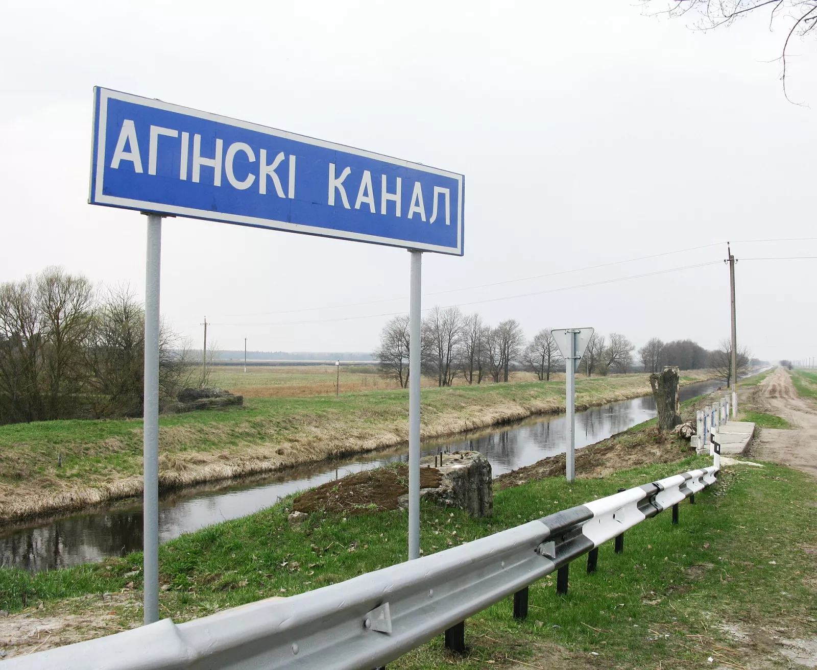
Today, the Oginski Canal is interesting primarily as a historical engineering structure that recalls attempts to create a waterway between the Baltic and Black Sea basins. Its history should not be confused with a modern shipping route.
Video: "History of the Oginski Canal", Valatsuga channel (in Russian).
How Nature Influenced Human Life
Over the centuries, the residents of Polissia adapted their economy to seasonal changes in water levels. Rivers were used for communication and fishing, meadows for cattle grazing, and forests as a source of timber, mushrooms, berries, and honey. Agriculture developed on plots suitable for cultivation.
Settlements often arose on slightly higher ground, less prone to flooding. At the same time, floodplains were an important part of the local economy, not just an obstacle to life. Dugout canoes, wooden footbridges across swamps, and houses on elevated areas are characteristic features of Polissian life on both sides of the border.
Natural conditions also influenced traditional culture. However, the cultural features of Polissia are not the same in all its parts: customs, dialects, and economic traditions differ between regions and even neighboring villages. The West Polissian dialects of the Brest and Pinsk regions are close to the Ukrainian dialects of Volyn.
What Distinguishes Belarusian Polissia
Belarusian Polissia combines natural landscapes and historic towns. The Prypiat River and its tributaries form vast floodplains, while marshes and forests support a diversity of natural ecosystems, and Pinsk and Turaŭ preserve traces of the region's ancient history. Mazyr stands out for its hilly terrain, while the Ogiński Canal recalls the former importance of water transport.
It is this combination of natural landscapes, historic towns, and ancient waterways that defines the character of Belarusian Polissia. This is a region whose history cannot be separated from the Prypiat River and the wetlands that have shaped human life over the centuries.
Read more about the Ukrainian part of Polissia in our travel guide.