The second and longer part of the PTTK blue trail Włodawa – Urszulin (about 122 km in total). From Wytyczno, the trail does not go straight to Urszulin, but makes a large loop across the Łęczna-Włodawa Lakeland: northwards to the ponds of Pieszowola and Sosnowica, then west and south through Libiszów, Komarówka, Lejno and Stare Załucze, and then through Świerżów and Wereszczyn to the headquarters of the Polesie National Park in Urszulin. The route is linear, with blue markings. According to our track, it is 92 km, which means three to four days of walking with overnight stays in Sosnowica, Stare Załucze and Urszulin.
From Wytyczno to Sosnowica
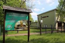
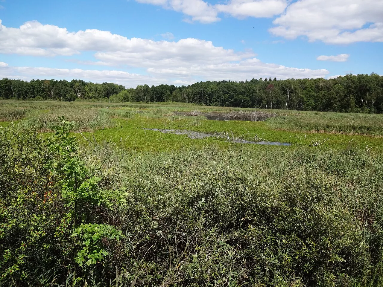
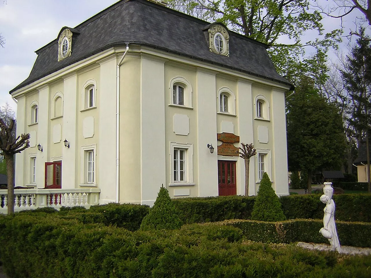
The first kilometres lead past Lake Wytyckie, the largest on the lakeland, through the hamlet of Łowiszów, Wólka Witycka and Nowiny. In Pieszowola, the trail passes near the Polesie National Park trail „Perehod”: five kilometres of causeways between ponds, two observation towers and a shelter for observing herons, cormorants, kingfishers and white-tailed eagles; the European pond turtle also lives here. Through Izabelin, the trail comes out into Sosnowica, a former town with town rights since 1685. In 1775, Tadeusz Kościuszko lived here, teaching drawing and mathematics to the daughters of Hetman Józef Sosnowski; those times are commemorated by the so-called Kościuszko Manor. The village has a Roman Catholic church, an Orthodox church, shops and accommodation, and nearby lies Lake Czarne Sosnowickie with a tent site of the Parczew Forest Inspectorate.
Through forests to Lake Łukie
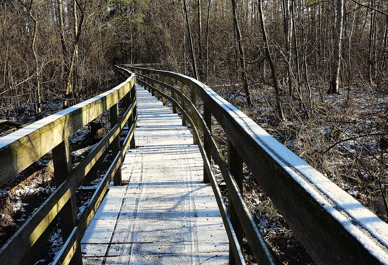
Beyond Sosnowica, the route turns west and south: Libiszów, Białka, Stary Orzechów, Komarówka, Lejno, Jagodno. This is the most forested part of the trail, with small lakes and peat bogs. Stare Załucze lies near Lake Łukie, the largest body of water in the Polesie National Park. The trail „Spławy” begins from the village: about 7.5 km, over four kilometres of wooden boardwalks through alder forests and transitional peat bogs to a floating pier over the lake. The blue trail bypasses the lake itself, so „Spławy” is a separate half-day loop. Stare Załucze is also famous for the fact that carts and carriages have been manufactured here since the mid-19th century; now there are many agritourism farms in the village.
Świerżów, Wereszczyn and Urszulin
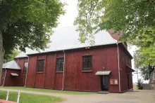
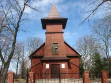
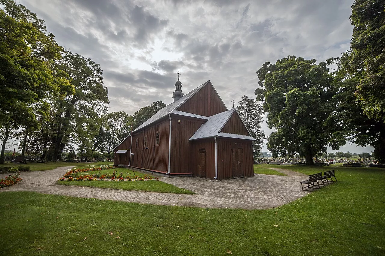
From Grabniak, the trail descends south into Gmina Cyców: Wólka Nadrybska, Garbatówka, Szczupak. In Świerżów, it is worth stopping by the wooden Church of Saint Basil from 1800, a former Greek Catholic and later Orthodox church with a wooden bell tower. Next is Wereszczyn, the ancient nest of the Wereszczyński family, which Mikołaj Rej visited. Here stands the Church of Saint Stanislaus, and on 26 May 1942, the Germans shot 300 Jews in Wereszczyn. Through Andrzejów, the trail reaches Urszulin, where the headquarters and educational centre of the Polesie National Park operate.
How to get there and what to consider
This is Poland: Ukrainian citizens need a foreign passport. Urszulin lies on the Lublin – Włodawa route, which is served by buses; Sosnowica has connections to Parczew and Lublin, but rural services are few, so check the schedule in advance. The trail itself is free, but the national park's natural trails ("Perehod", "Spławy" and others) are paid: according to the park, 7 zlotys for a single trail or 16 zlotys for a day ticket for all of them; tickets are sold in Urszulin and online. The best time is from May to September, and in spring and autumn there are bird migrations. There are many mosquitoes and ticks, and after rain, forest roads become muddy. The eastern part of the route near Wytyczno lies approximately 19 km from the border with Belarus: the border is closed, and checks by the Polish Border Guard are possible nearby.