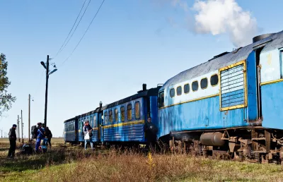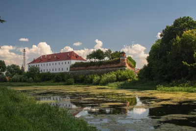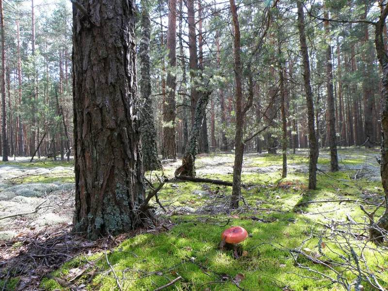

The short answer is — both. Rivne region is historic Volyn: for centuries almost the entire region was part of the land, voivodeship, and governorate of Volyn. And by nature, it is divided in half: the north is Polissia with its pine forests, swamps, and lakes; the south is the Volyn Upland with hills, chernozem soils, and castles; and between them lies a narrow strip of Little Polissia. So a resident of Sarny will rightly say “I’m from Polissia,” while a resident of Dubno will say “I’m from Volyn.”
Let’s look in more detail: what is Volyn, what is Polissia, where is the border between them, and which regions border Rivne.
Volyn is history
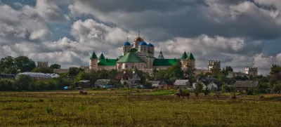
Volyn is a historical and cultural region in the northwest of Ukraine, in the basin of the southern tributaries of the Pripyat and the upper reaches of the Western Bug. The name first appears in a chronicle in 1077. Most linguists derive it from an ancient root meaning “wet, moist,” that is, “swampy land” — which very well suits the northern districts of the region.
Within its modern borders, Volyn includes Volyn and Rivne regions, the western part of Zhytomyr region, and the northern parts of Ternopil, Khmelnytskyi, and Lviv regions. Since 1797, these lands belonged to the Volyn Governorate of the Russian Empire; between the world wars, to the Volyn Voivodeship of Poland with its center in Lutsk. Only the extreme north of Rivne region around Zarichne then belonged to the Polesie Voivodeship centered in Pinsk. The Rivne region itself was established in 1939.
Polissia is nature
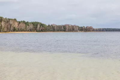
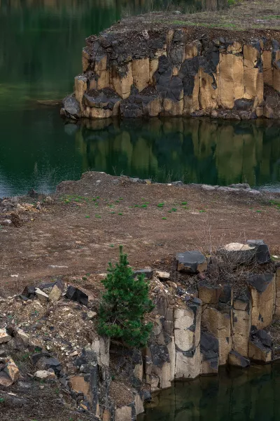
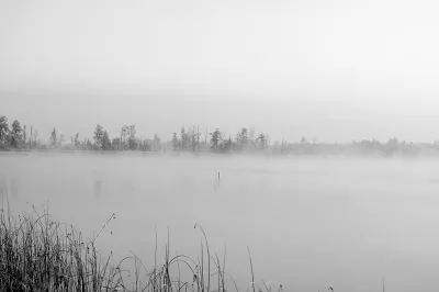
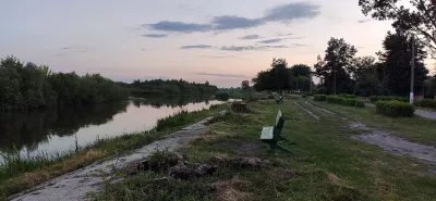
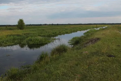
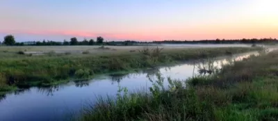
Polissia is a natural and ethnographic region of forests and swamps along the Pripyat, stretching through Ukraine, Belarus, Poland, and Russia. In Rivne region, it covers the entire northern half: the Polissia lowland with elevations of 140–180 meters, including the Klesiv Plain. Geographers classify it as Volyn Polissia — a natural region between the Western Bug and Sluch rivers. Here lie the Rivne Nature Reserve, lakes Bile and Nobel, the Basalt Columns, and amber sands.
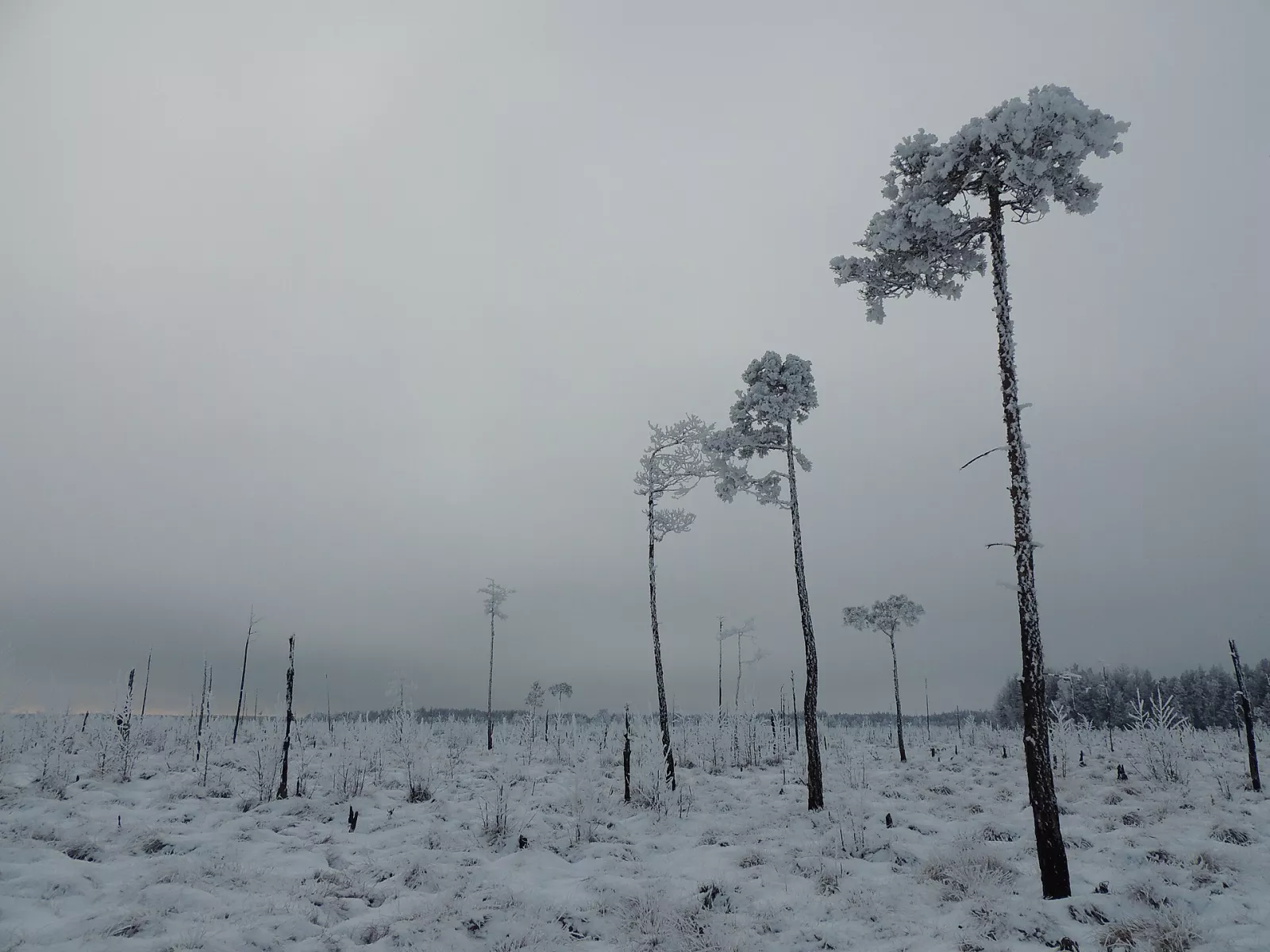
Polissia is also culture: crosses on cemeteries decorated with towels, archaic songs, Polissian dialects, beekeeping in tree hives, and villages that long had no roads. Read more in the article Rivne Polissia: where to go and what to see.
Where the border runs
Geographers draw the border between Volyn Polissia and the Volyn Upland (Volyn in the natural sense) roughly along the line Liuboml — Kovel — Rivne — Korets. So Rivne itself stands on the border: to the north of the city begin pine forests and swamps, to the south — hilly fields.
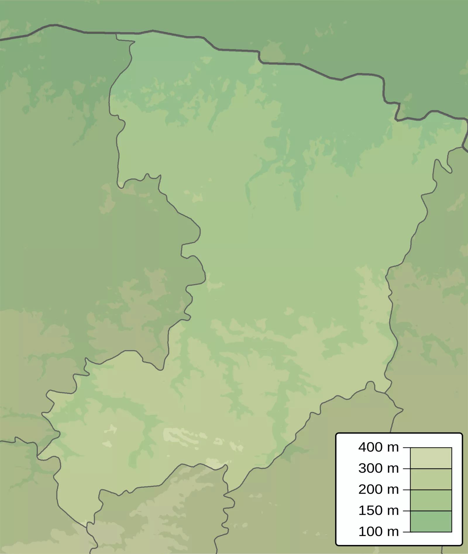
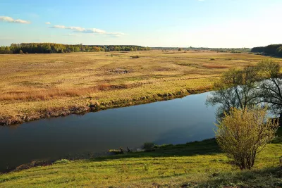
The southern part of the region is the Volyn Upland with elevations of 200–300 meters. The highest areas are the Povcha Upland, Mizoch Ridge, Rivne and Hoshcha plateaus. On the extreme south, the slopes of the Podillia Upland enter the region — Voronyaky, and there near the village of Druzhba is the highest point of Rivne region — 372 meters. The lowest point, 134 meters, is in the valley of the Horyn in the north.
Small Polissia
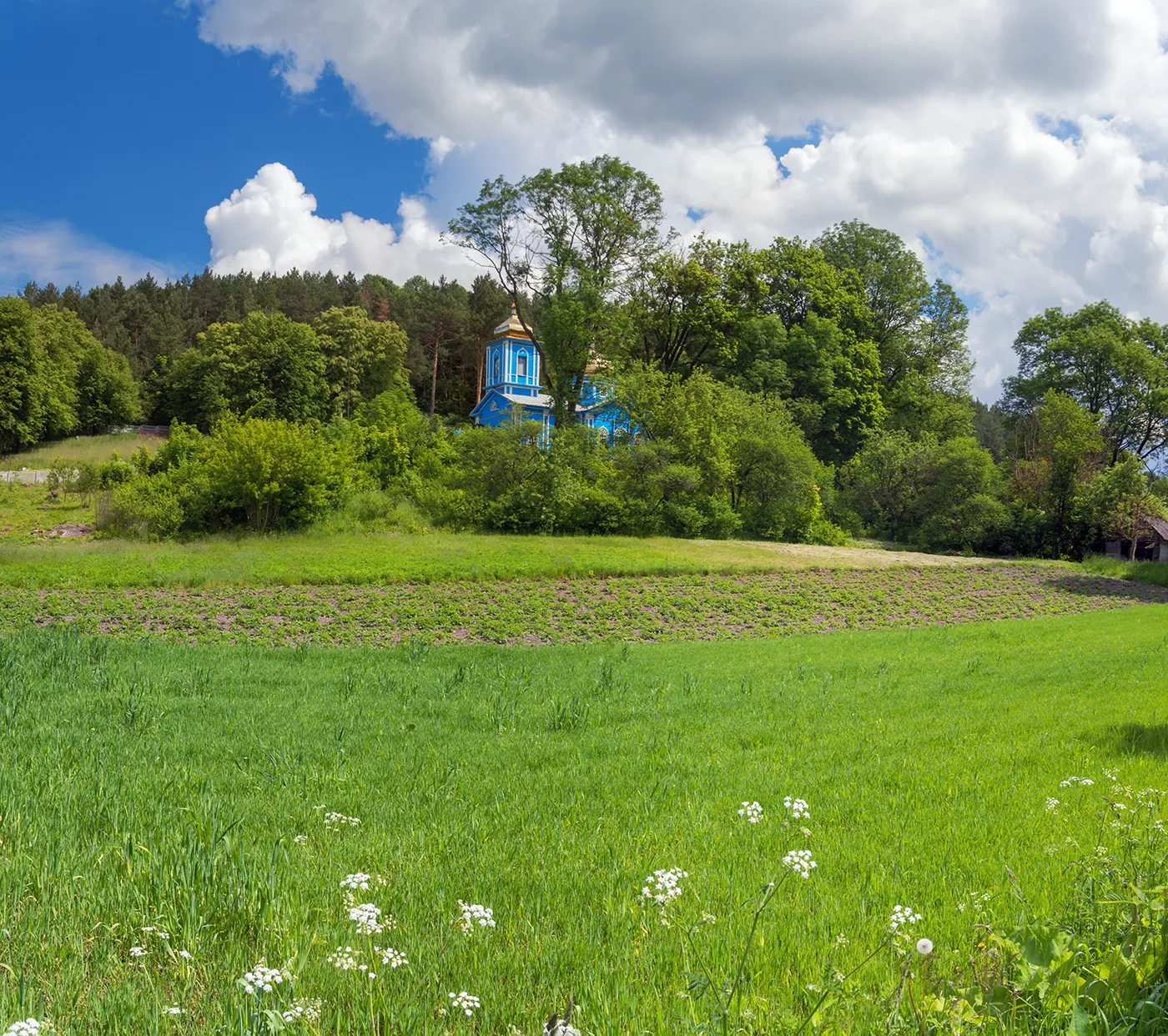
There is also a third region — Small Polissia. It is a narrow strip of lowland 20–25 kilometers wide between the Volyn and Podillia uplands, stretching from Rava-Ruska in Lviv region to Slavuta and Shepetivka. In Rivne region, it passes through Dubno district and the outskirts of Ostroh, and the narrowest place is the Ostroh valley, where the Derman-Ostroh National Park is located. Here again are sands, pines, and swamps, but surrounded by hills. The northern boundary of Small Polissia runs near Berestechko, Kozyn, Busha, and Ostroh.
Four Districts
Since 2020, Rivne region consists of four districts and 64 territorial communities — 11 urban, 13 settlement, and 40 rural. Before the district reform, there were sixteen.
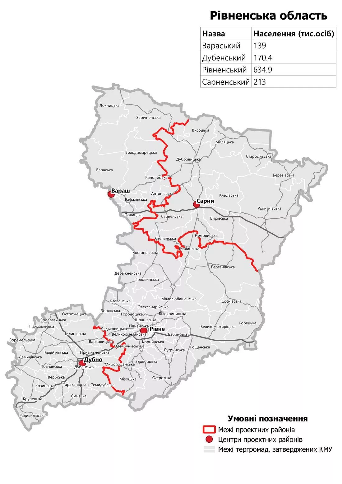
- Varash District — northwest, center — Varash. Fully Polissia: Bile Lake, Nobel, Zarichne, Volodymyrets.
- Sarny District — northeast, center — Sarny. Also Polissia: Dubrovytsia, Rokytne, Klesiv, swamps of the reserve.
- Rivne District — in the center, around the regional center. Its north is Polissia (Kostopil, Berezne, Sosnove), south — upland and Small Polissia (Ostroh, Zdolbuniv, Mizoch).
- Dubno District — southwest, center — Dubno. Volyn Upland and Small Polissia: Dubno, Radyvyliv, Mlyniv, Kozyn.
Bordering Regions
Rivne region covers 20,047 square kilometers — about 3.3 percent of Ukraine’s territory. From north to south it stretches 215 kilometers, from west to east — 186. Neighbors:
- to the west — Volyn region;
- to the southwest — Lviv;
- to the south — Ternopil;
- to the southeast — Khmelnytskyi;
- to the east — Zhytomyr;
- to the north — Belarus: Brest and Gomel regions.
In the north, the region borders Belarus, so restrictions on presence and movement may apply in border communities — check announcements from the State Border Guard Service before your trip.
Rivers that gather the region
Almost all of the nearly 170 rivers in the region belong to the Pripyat basin, which flows along the northwestern edge. The largest are the Horyn with the Sluch and the Styr with the Ikva. Interestingly, the sources of the Horyn, Styr, and Ikva lie close to each other on the Podillia Upland, and then the rivers diverge, carrying water across the entire Rivne region to the north, into the Polissia swamps and to the Pripyat. Thus, the rivers connect Volyn and Polissia into one land.
So how is it correct to say
Both options are correct, just about different things. If speaking about history, princes, castles, and churches — Rivne Region is the heart of Volyn: here are Ostroh, Dubno, Korets, and Klevan. If about the nature and folk culture of the north — this is Polissia, part of a large land from the Bug to the Dnipro. And the southern strip around Ostroh and Kozyn also has its own name — Mala Polissia. Our guide unites all this on the page Rivne Region.