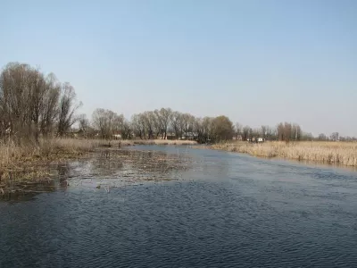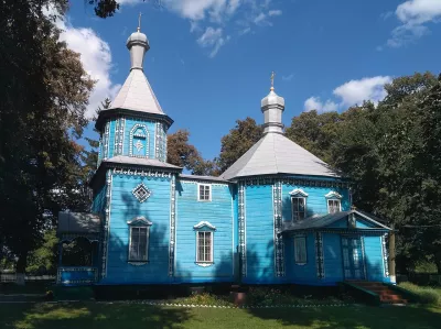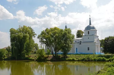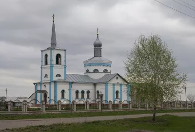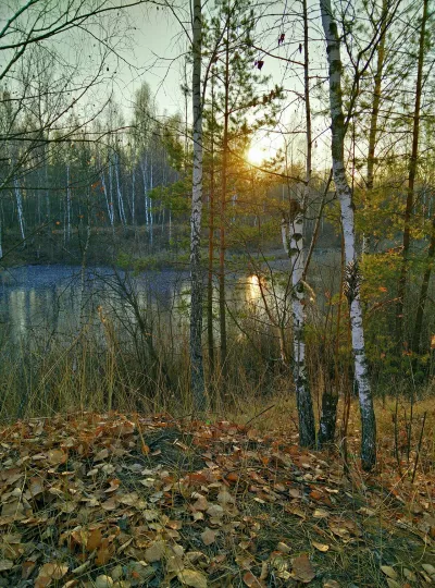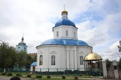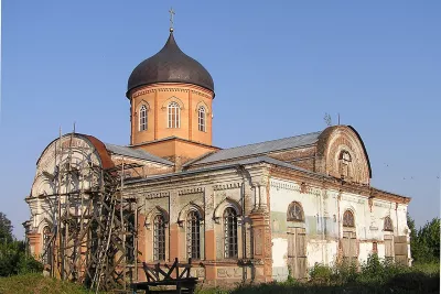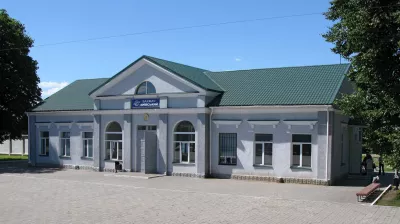

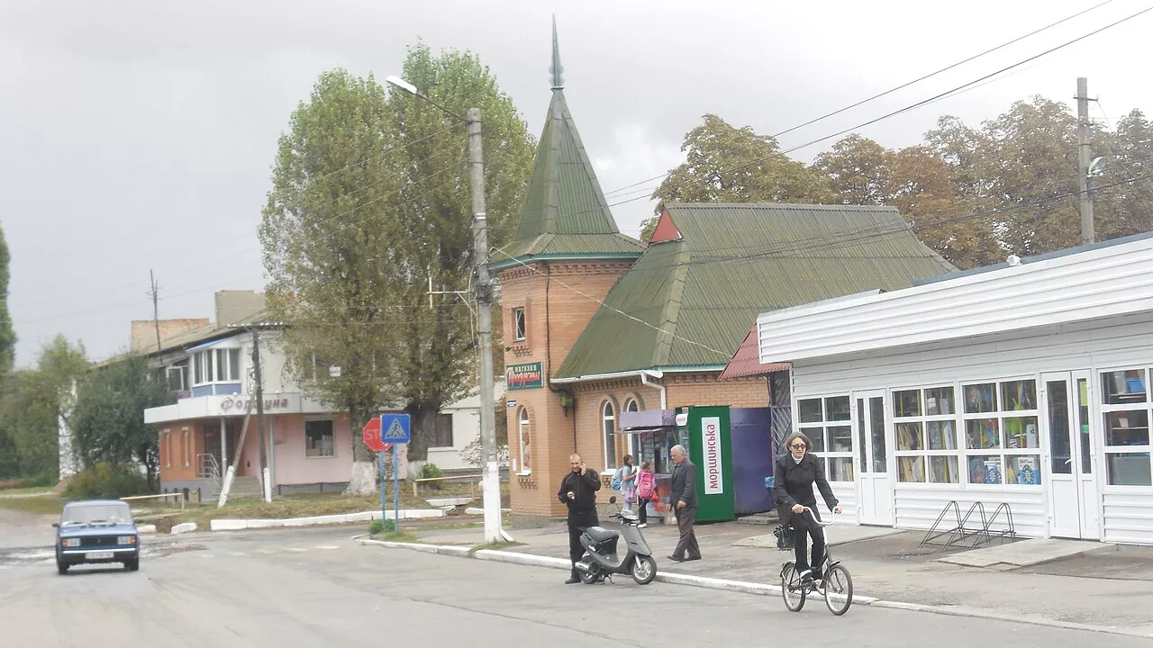
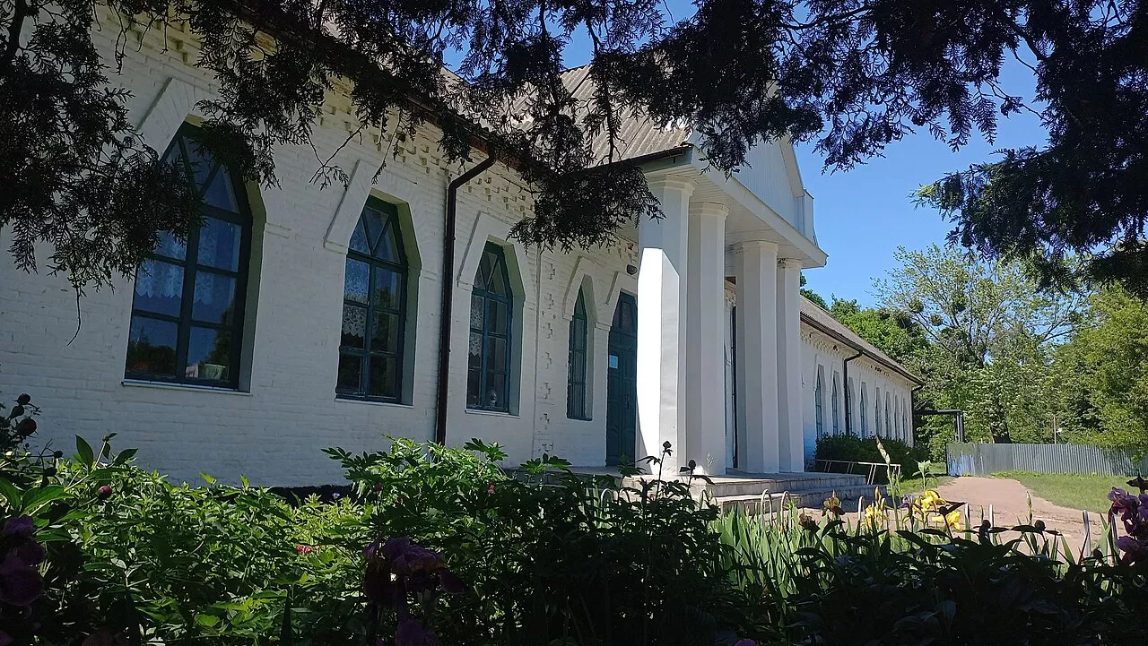
Varva is an urban-type settlement on the Uday River in Pryluky Raion, the center of Varva hromada, with a population of about 7,500 people. It was once the hundredth Cossack capital of the Pryluky region, and since the mid-20th century, a center for oil and gas extraction. Here is preserved the zemstvo school building in the Ukrainian style, designed by Opanas Slastion.
Chronicle Varin
The name Varva is associated with the Varvytsia River that flows through the settlement. On the northwestern outskirts, on a high bank of the Uday, lies a hillfort from the 11th–13th centuries — Zamkova Hora, covering about 5 hectares. Scholars consider it the remains of the fortress city of Varin, near which in 1079 Vladimir Monomakh’s army defeated the Polovtsi. During the times of Rus, Varva was one of the strongholds of the defensive line of the Pereiaslav land.
In 1239 the Mongols destroyed Varva, and in 1482 it was again devastated by the horde of Mengli Giray. At the beginning of the 17th century, the town was resettled by migrants from the Right Bank, and in a 1628 document it was called “novosilim” (newly settled). Later, Varva belonged to the princes Vyshnevetsky.
Cossack Era
In 1649 Varva became a sotnia town; it had two sotnias of the Pryluky regiment — according to the 1654 register, 901 Cossacks. In November 1658, a Cossack council took place near Varva, where opponents of Ivan Vyhovsky elected Ivan Bezpaly as acting hetman. Fighting began, and the troops of Nizhyn Colonel Hulyanytskyi were besieged in Varva. They were freed by Ivan Skorobahaty, an osavul sent by Vyhovsky.
Varva is also linked to a legend about Swedish treasures. After the Battle of Poltava in 1709, it is said that the loot taken by the Swedes was hidden here, in the Uday. Peter’s troops dug up the entire area by the river but found nothing. Since then, this part of Varva has been called Perekopivka.
In the 18th century, the town lived by crafts: weaving, harness making, blacksmithing. More than twenty burgher households had water mills on the Uday; markets were held every Sunday, and fairs three times a year, where Chumaks brought salt and fish.
What to See
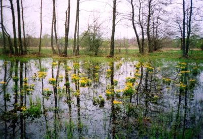
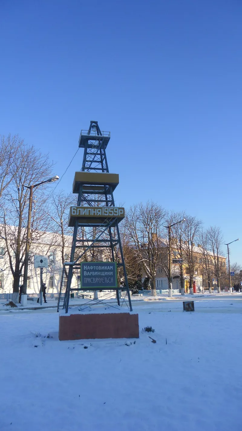
The most interesting building is the 1915 zemstvo school, built according to the design of artist and architect Opanas Slastion in the Ukrainian folk style. Locals called it Vygonska because it stood on a pasture. It is worth climbing Zamkova Hora above the Uday, from where you can see the floodplain. Around the settlement, burial mounds have been preserved — at the beginning of the 20th century, there were about eighty of them. In the center stands an oil tower monument commemorating the start of oil extraction in the region in 1959. To the north of Varva lies the hydrological reserve “Saga.”
Varva is the birthplace of philologist-slavist, historian, and folklorist Osyp Bodianskyi.
Coat of Arms and Flag
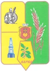
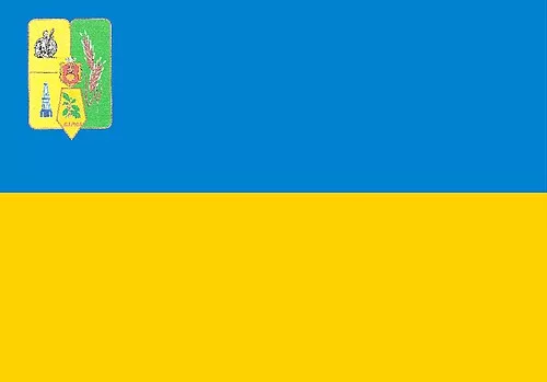
The modern coat of arms of Varva is divided into green and gold parts. On the green part are two ears of grain; on the gold part, a kobzar and an oil tower; and in the center of the shield is the ancient coat of arms of Varva from 1737. The ears of grain symbolize agriculture, the kobzar represents song traditions, and the tower stands for oil extraction. The flag of Varva has two horizontal stripes, blue and yellow, with the coat of arms in the upper corner near the hoist.
How to get there
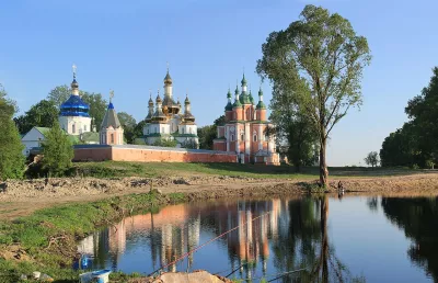
Varva lies on the Udai River, south of Pryluky. Buses run from Pryluky and Chernihiv. The trip can be combined with the Hustynskyi Monastery and Pryluky.