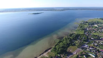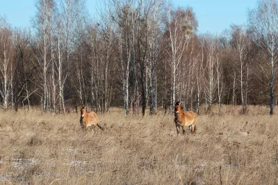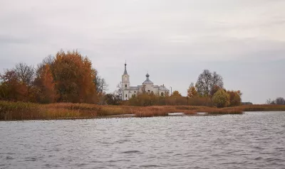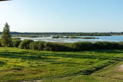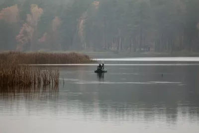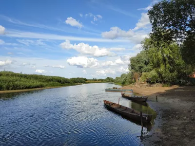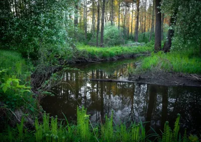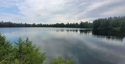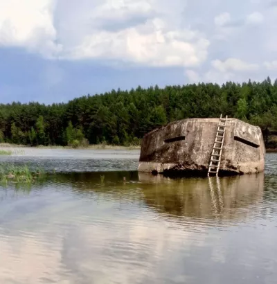
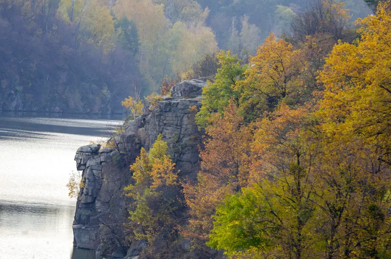
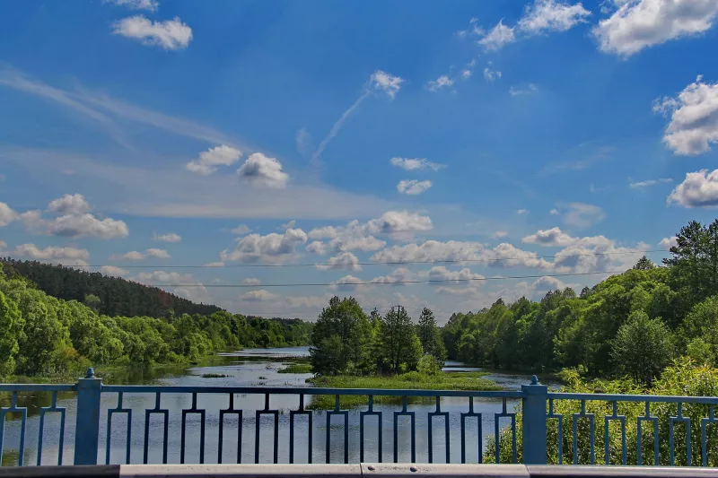

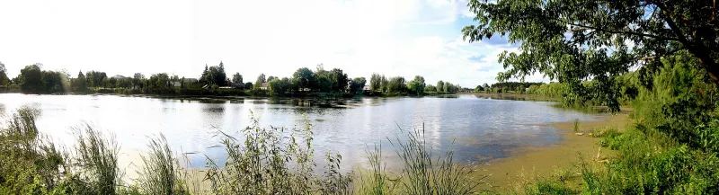

Zhytomyr Polissia is the highest, rockiest, and least swampy of all Polissia regions. Here, beneath pines and sand, lies the granite of the Ukrainian Shield: it surfaces in cliffs over the Teteriv River, boulders of the Stone Village, and the walls of old quarries filled with turquoise water. The rivers here do not creep through swamps, but rush over rapids in narrow rocky valleys. This is also the land of the Drevlians, Prince Mal and Princess Olha, Lesia Ukrainka, and Polissia potato pancakes.
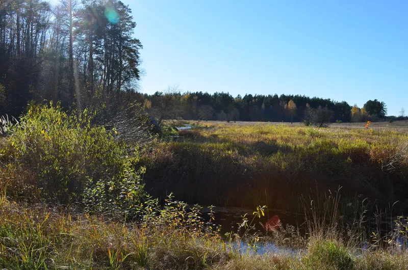
As a natural region, Zhytomyr Polissia covers most of Zhytomyr Oblast and the eastern part of Rivne Oblast. The western border runs approximately along the line of Klesiv — Sosnove — Korets — Shepetivka, and the eastern one along Narodychi — Malyn — Radomyshl — Kornyn. In the west, it borders Volyn Polissia, and in the east, Kyiv Polissia. Average elevations are 180–200 m, and wetland coverage is only about 3%: this is the driest part of Polissia in Ukraine.
In Brief
- Where: most of Zhytomyr Oblast and eastern Rivne Oblast.
- Nature: granite cliffs and canyons of the Teteriv, Uzh, Sluch, Ubort, and Irsha rivers; Polissia and Drevliansky Nature Reserves; Slovechno-Ovruch Ridge with ravines; blooming yellow rhododendron.
- History: Korosten (Iskorosten) — the capital of the Drevlians, ancient Ovruch with St. Basil's Church, Olevsk, Zviahel — the birthplace of Lesia Ukrainka.
- Stone: granites, labradorite, quartzite; flooded quarries — favorite spots for swimming and photography.
- To Taste: potato pancakes (Korosten is their unofficial capital), mushrooms, cranberries, blueberries, forest honey.
Video: "Zhytomyr region: Polissia — mystic paths of the Drevlians, Zviahel, red stone, blue lakes, and white borscht", Tour de Ukraine channel.
Granite underfoot: how Zhytomyr Polissia was formed
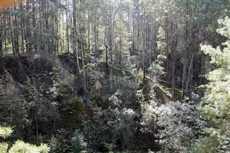
What distinguishes Zhytomyr Polissia from other Polissia regions is the Ukrainian Shield — ancient Precambrian crystalline rocks that are over a billion years old. A thin layer of water-glacial sands (4–6 m) lies directly on granites and gneisses, so the relief here is dissected, and rivers have cut deeply into the stone. The western part of the region was not covered by the glacier and has no moraine, while east of the Slovechne — Luhyny — Zhytomyr — Ivnytsia line, moraine hills, kames, and eskers can be found.
Because of this, the rivers of Zhytomyr Oblast have fast currents, riffles, and rapids, and during floods, the water rises much higher than in the flat Polissia. All of them belong to the Dnipro basin. The climate is moderately continental: the average January temperature is about −6 °C, July is +19 °C, and precipitation is about 625 mm per year. It is not as humid here as in Volyn, nor as dry as further east.
Teteriv: cliffs, rapids, and canyons
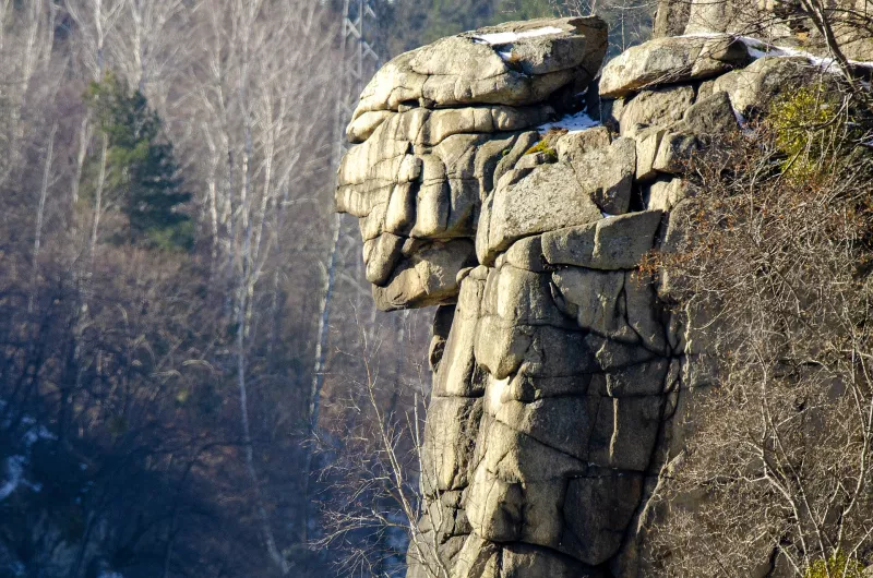
The best way to see rocky Polissia is to walk along the banks of the Teteriv. In Zhytomyr itself, the "Chatsky Head" rock stands over the river, resembling a human profile, and nearby are the Sokuli tract, the Krashevsky cliff, and the Castle Hill, where the city began.
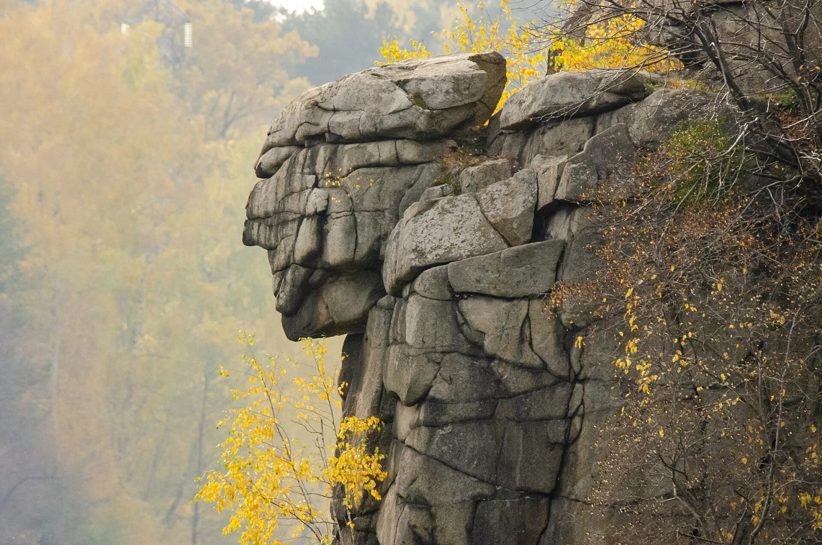
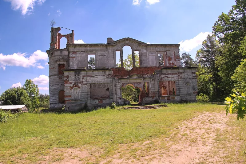
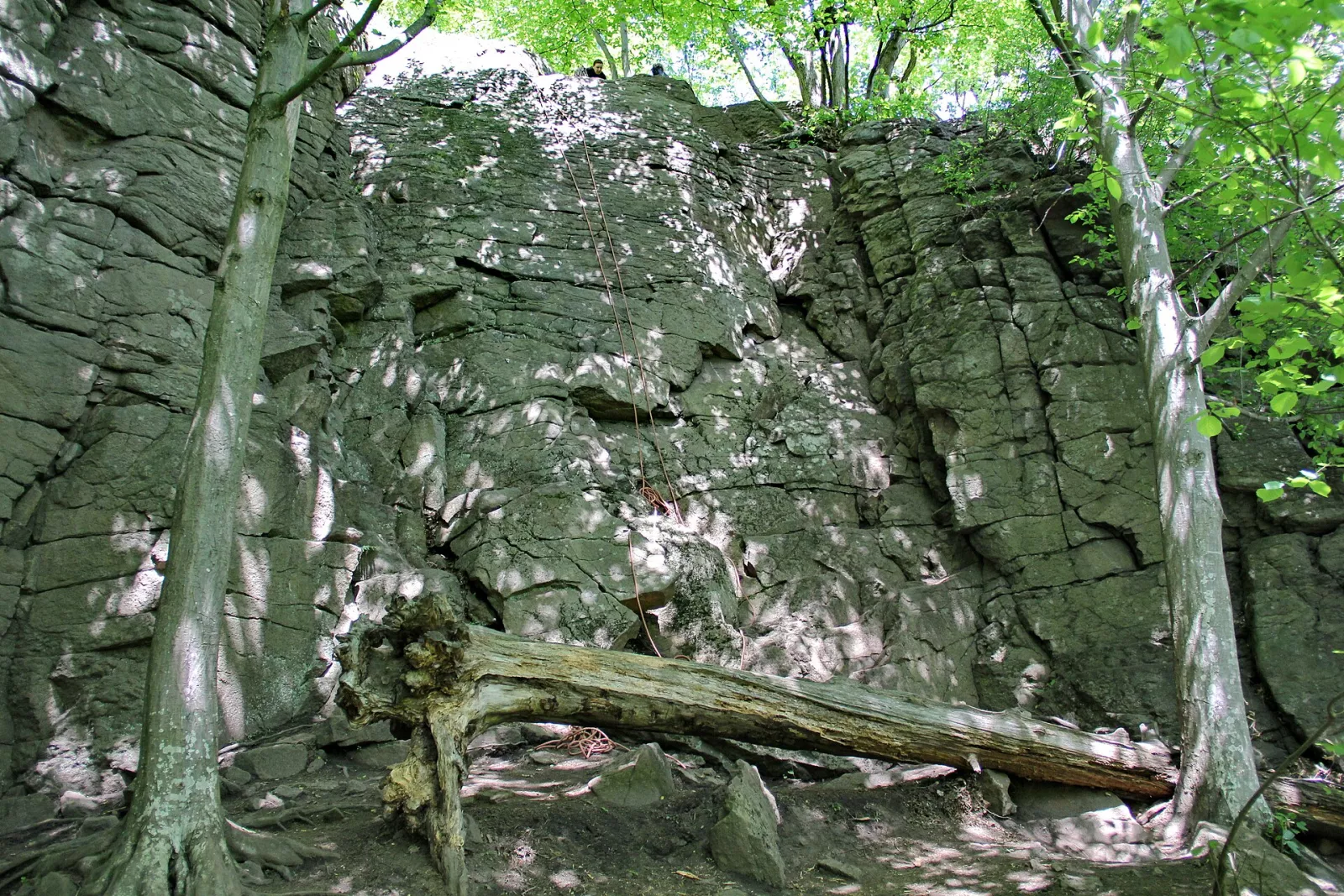
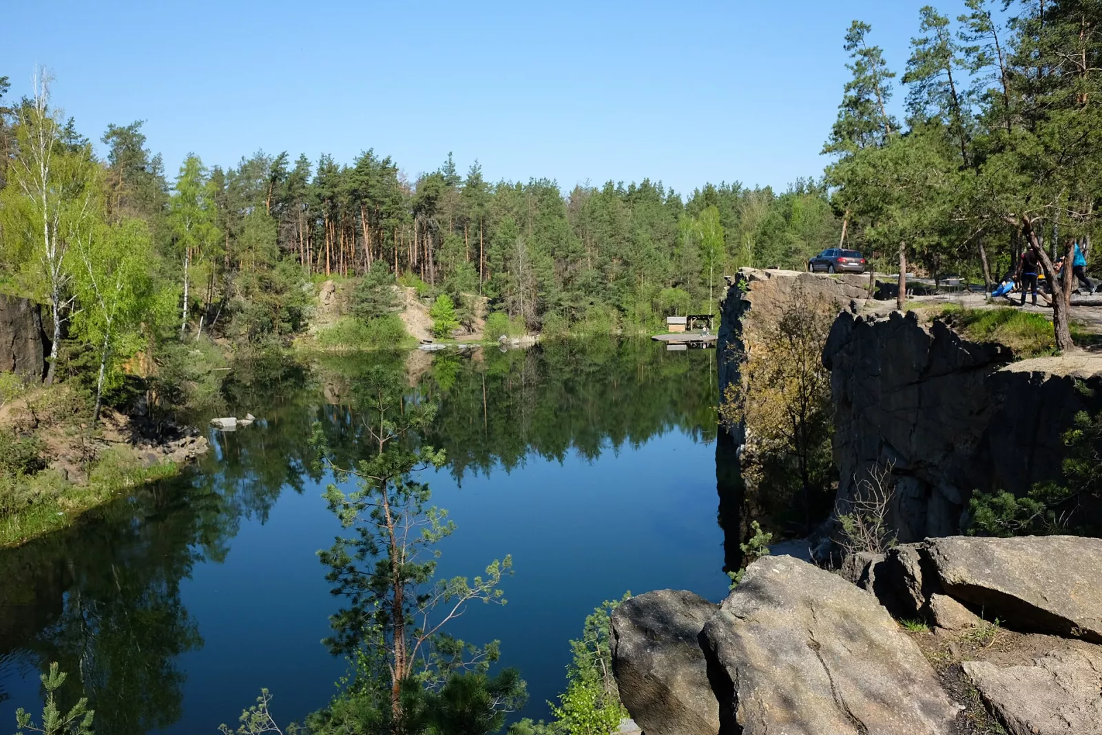
Further upstream, in Denyshi, granite cliffs attract rock climbers, while the ruins of the Tereshchenko palace stand above the water. The route from Denyshi to Zhytomyr features a ghost palace, an old mill, and a granite canyon. Further downstream, from Zhytomyr to Korostyshiv, there are rapids and the Korostyshiv Canyon with its turquoise water nestled among granite boulders.
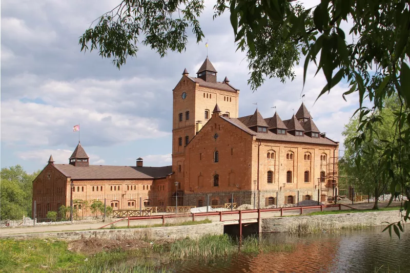
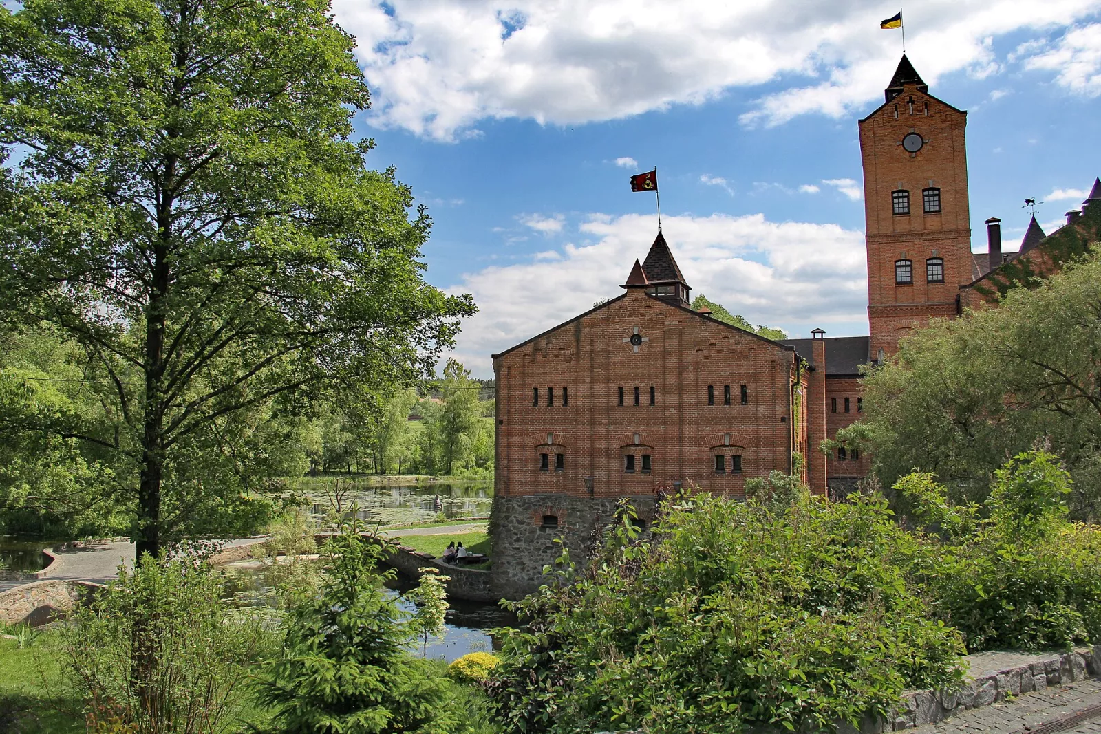
Further still, the Teteriv flows past Radomyshl — here, on the site of an old paper mill, stands the Radomysl Castle stone fortress, which houses a home icon museum.
Video: "Zhytomyr Oblast — Discovery! The most beautiful quarries, canyon, fisherman’s house, Stone Village", VIDCHUY channel.
Korosten and the Uzh River: Land of the Drevlians
Korosten is ancient Iskorosten, the capital of the Drevlians. According to the chronicle, it was here in 945 that the Drevlians executed Prince Igor, and the following year Princess Olha took revenge and burned the city. Today, the Drevlian Park stretches along the banks of the Uzh River: granite cliffs, Olha's Bath, the monument to Princess Olha, and Prince Mal. On the opposite bank is Chervona Hirka, the ancient settlement of Prince Mal.
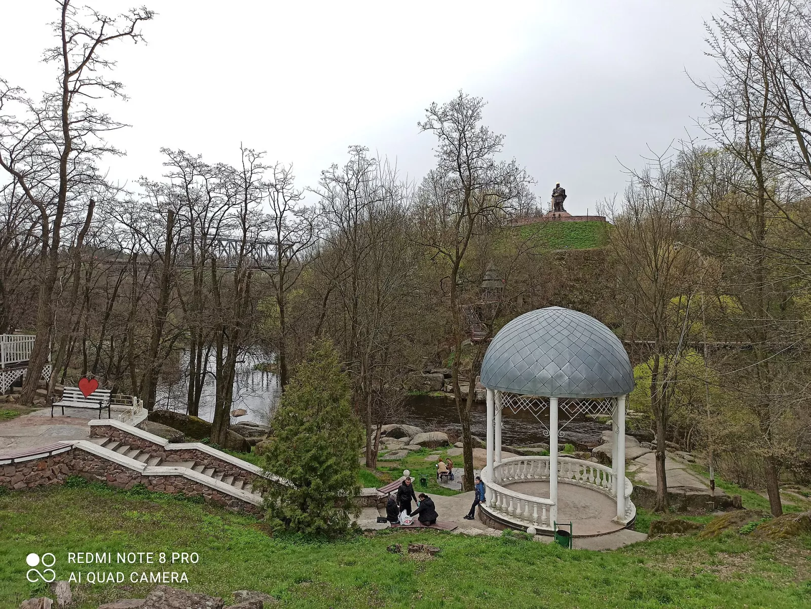
Korosten is also the unofficial potato pancake (deruny) capital: every year, a deruny festival is held here, and a monument has even been erected in their honor. Hidden beneath the city's granite is a Soviet bunker, which is now the "Skelya" Museum. Along the Uzh River, you can see abandoned small hydroelectric power plants and the wild banks of the Drevliansky Nature Reserve.
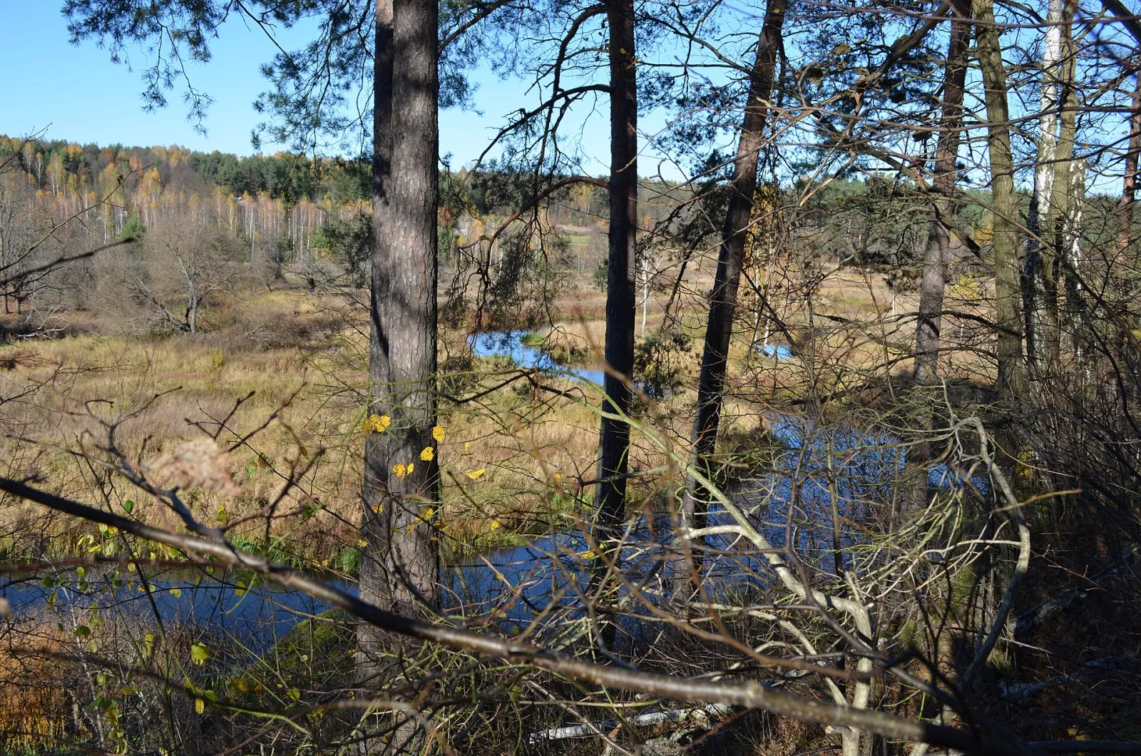
Read more about the surrounding area in the overview of the Korosten District and in the open-air museum "Drevliansky Village".
Ovruch and the Slovechna-Ovruch Ridge
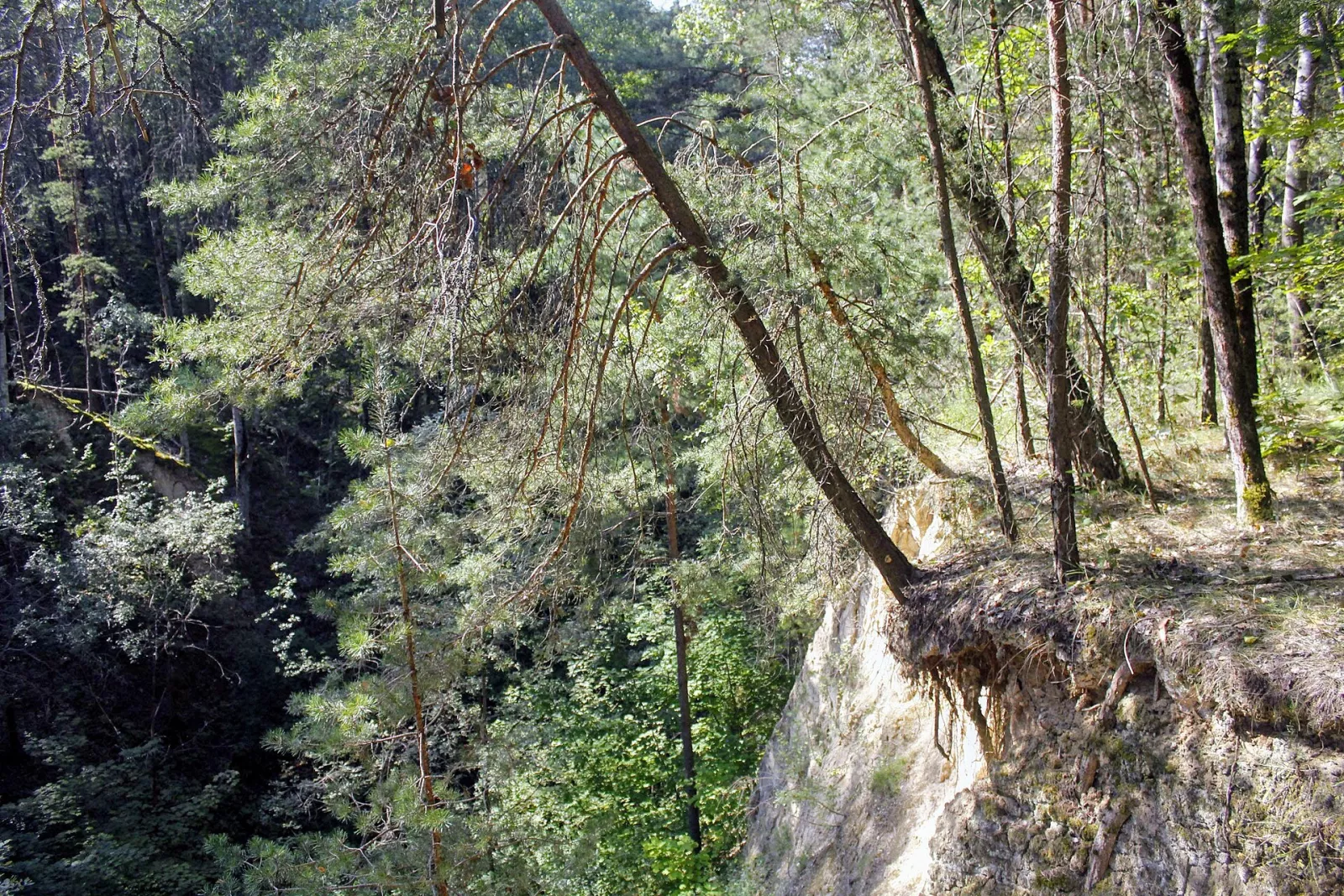
In the north of the region rises the Slovechna-Ovruch Ridge, a ridge that towers over the Polissian plain. It is covered with loess deposits, which has led to the formation of deep ravines (20–30 m deep and up to 3 km long) and fertile gray forest soils—landscapes resembling the Forest-Steppe right in the middle of Polissia. Patches of oak forests with sessile oak have been preserved on the ridge.
Ovruch is one of the oldest cities in Ukraine, the chronicled Vruchiy. Here stands the St. Basil's Church from the times of Kievan Rus, rebuilt in the early 20th century. Ovruch pink slate whorls once spread across all of Kievan Rus—archaeologists find them throughout Rus and far beyond its borders. On the ridge lies Slovechne with the Museum of Partisan Glory.
Video: "Ovruch: 1080 Years of Resilience", Prosto Pro Skladne channel.
Between Ovruch and Korosten lies the Stone Village, a geological reserve with giant boulders, shrouded in legends about a battle between God and the devil. It is called the Ukrainian Stonehenge.
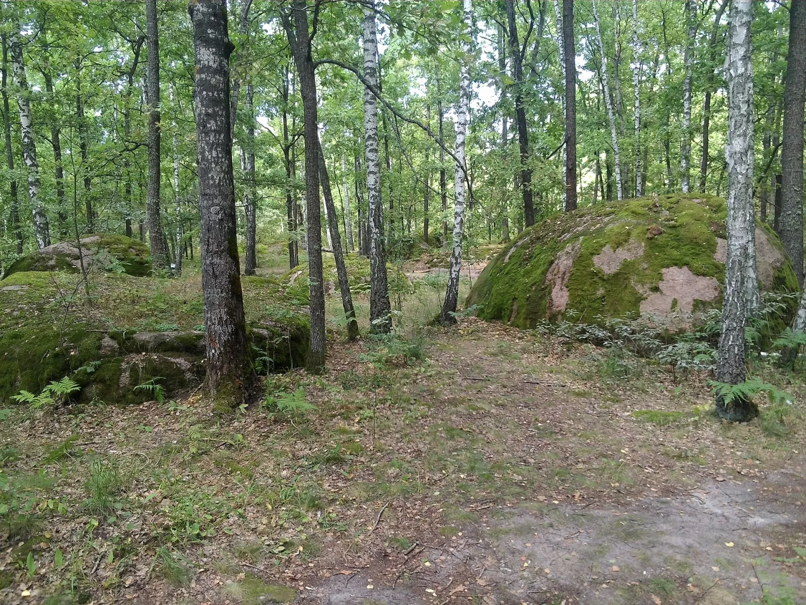
Video: "Kamiane Selo — God's Stone, Pochekun, and hobbits of the most mystical place in Zhytomyr region", Ukrainska Pravda channel.
Polissia Nature Reserve: Ukrainian taiga
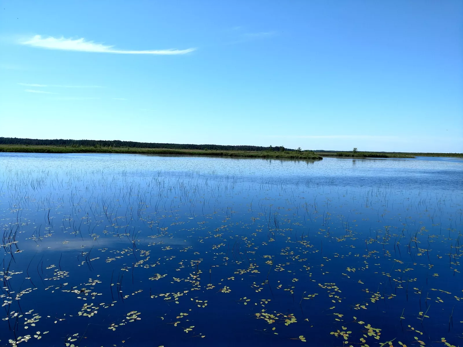
On the border with Belarus, in the Olevsk and Ovruch regions, the Polissia Nature Reserve was established in 1968, spanning 20,000 hectares of wild nature. Forests cover more than three-quarters of the territory, and swamps account for a fifth. The raised raised bogs with brown and green sphagnum mosses are unique here; glacial relics such as Scheuchzeria palustris and small cranberry grow in the Spudy bog.
The reserve is home to over 600 species of vascular plants and a rich fauna: black stork, grey crane, great grey owl, Tengmalm's owl, Eurasian pygmy owl, capercaillie, lesser spotted eagle, short-toed snake eagle, lynx, otter, mountain hare, and Ukrainian brook lamprey. Visits are only by arrangement with the administration.
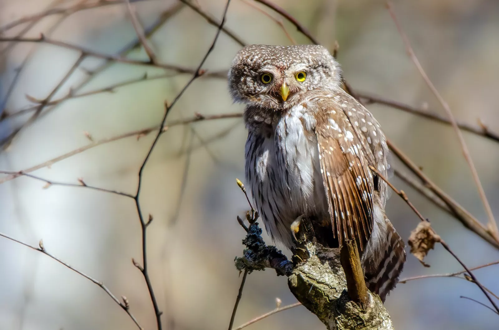
Video: "Polissia Nature Reserve — Ukrainian taiga", Ukraina Vrazhaye channel.
Around the reserve lie smaller yet equally fascinating protected areas. Didove Lake in the Ovruch region (54 ha), with its sphagnum quagmire, cranberries, and beavers, gives rise to the Bolotnytsia River. The Poiaskivskyi Zakaznik in the Olevsk region, established back in 1926, preserves 300-to-400-year-old giant oaks. Plotnytsia (464 ha) protects Polissia landscapes, while the Borutynskyy Zakaznik preserves the forests near a ghost village.
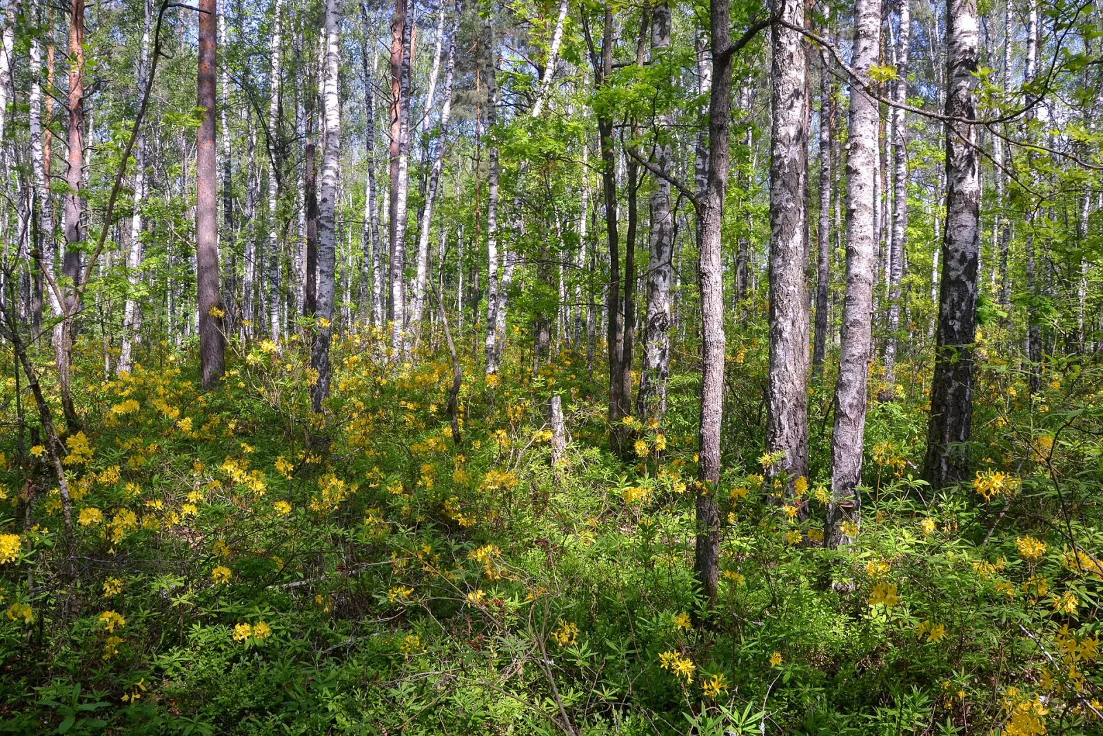
Yellow azalea — the Polissia "rhododendron"
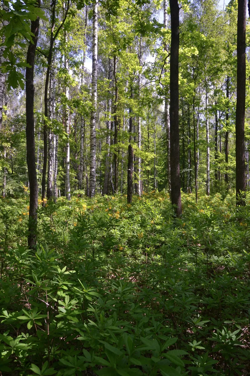
In late May, the forests in the western part of the Zhytomyr region burst into yellow: yellow azalea (rhododendron luteum) is in bloom, a relict shrub that has survived here since pre-glacial times. The fragrance fills the entire forest. The most famous spot is the Horodnytsia Botanical Zakaznik (352 ha) near Horodnytsia, where the rhododendron grows under oak and pine forests alongside rare orchids — Traunstein's marsh orchid.
Olevsk, Zviahel, and Ubort
Olevsk on the Ubort River is one of the oldest towns in Polissia and the gateway to the Polissian Nature Reserve. The Ubort here is fast-flowing, with sandy reaches and granite banks, while further upstream, near Yemilchyne, it flows among meadows and pine forests.
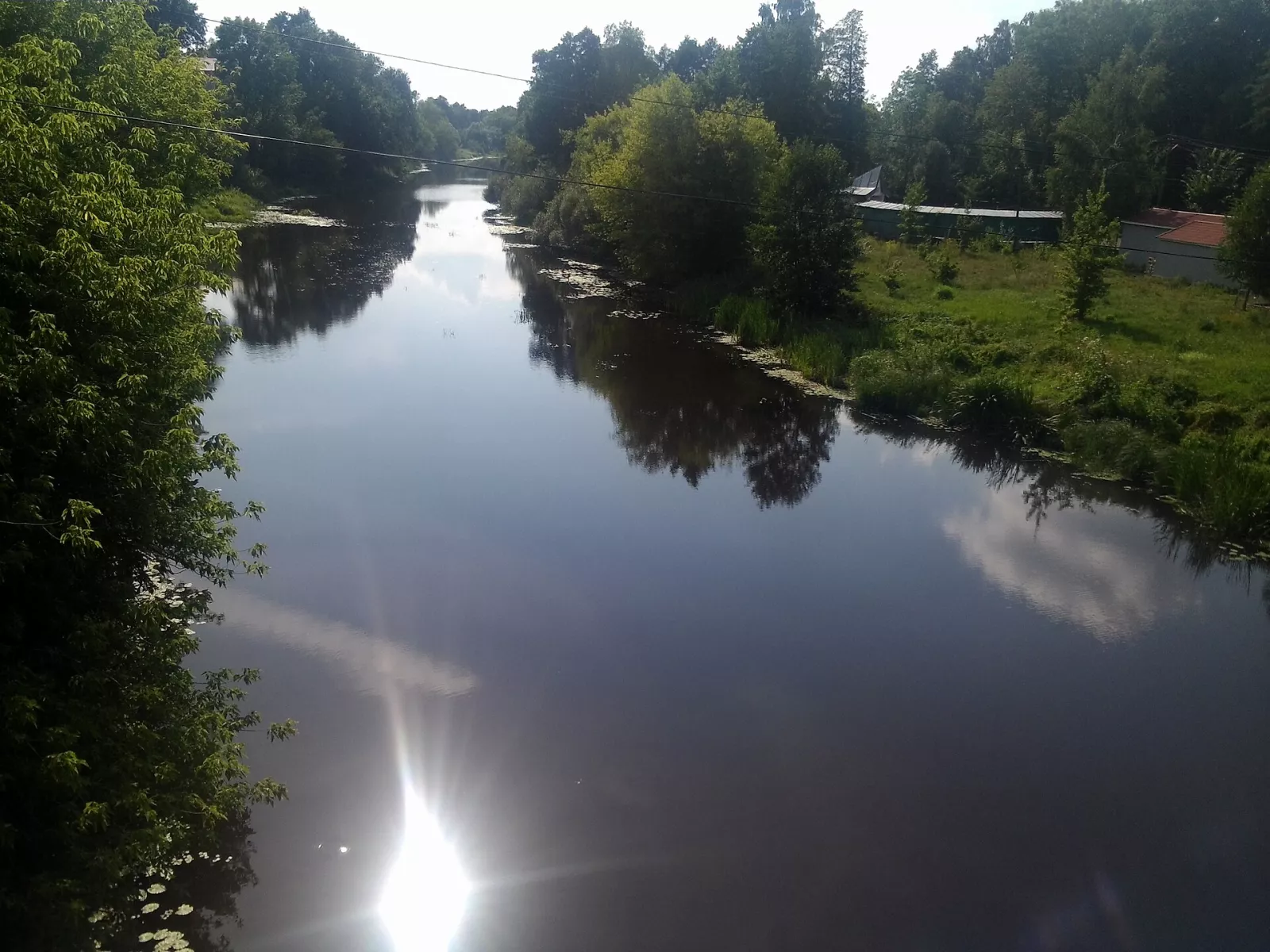
Zviahel on the Sluch River is the birthplace of Lesia Ukrainka. Here, the Kosach family museum-house operates, the remains of the Zviahel Castle and a railway viaduct stand along the river, and nearby is the Mezentsev Palace, a count's estate on the Sluch.
Malyn, Irsha and Hamarnia
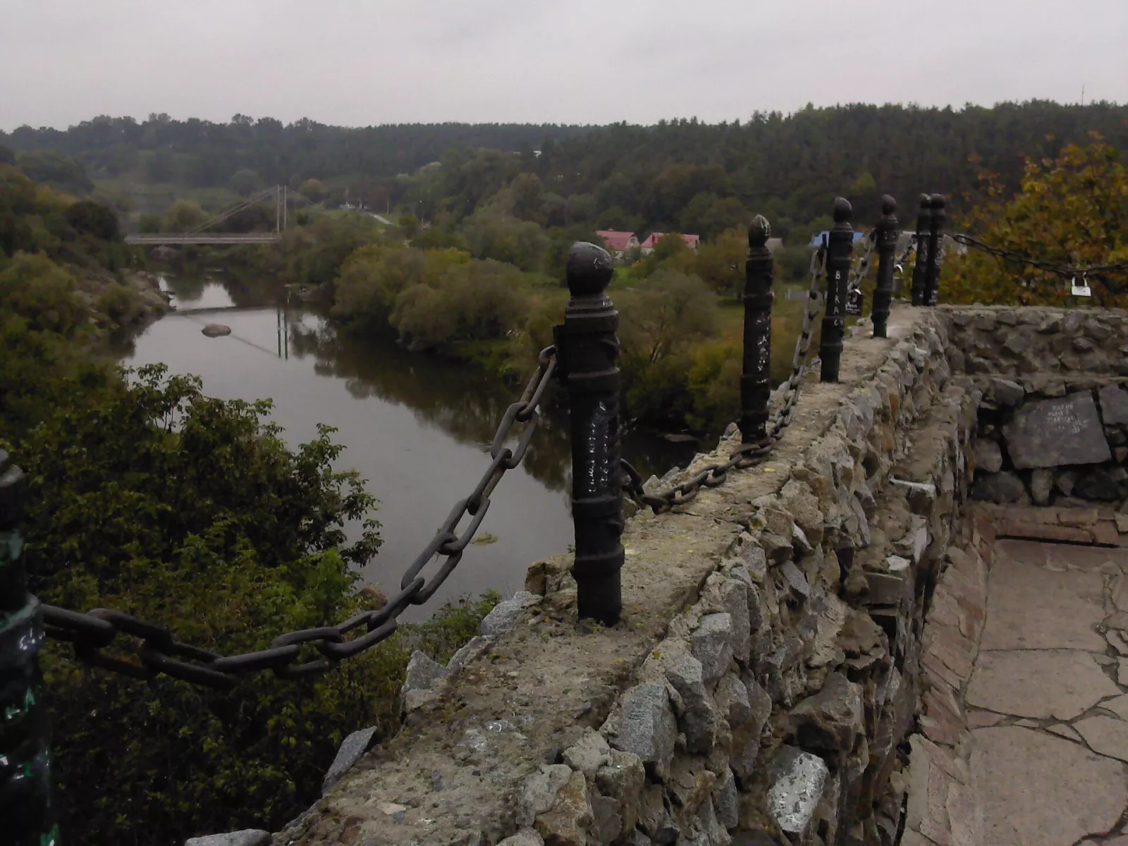
In the east of Zhytomyr Polissia lies Malyn on the Irsha River. It features its own Malyn "Sea" with beaches, the "Hamarnia" landscape reserve with the estate of the Myklukho-Maklai family, and old granite quarries. The Irsha, like the Teteriv, flows among rocks in places, and nearby, at the "Polissian House" in Horodske, a traditional Polissian village comes to life.
Stone That Knows the World
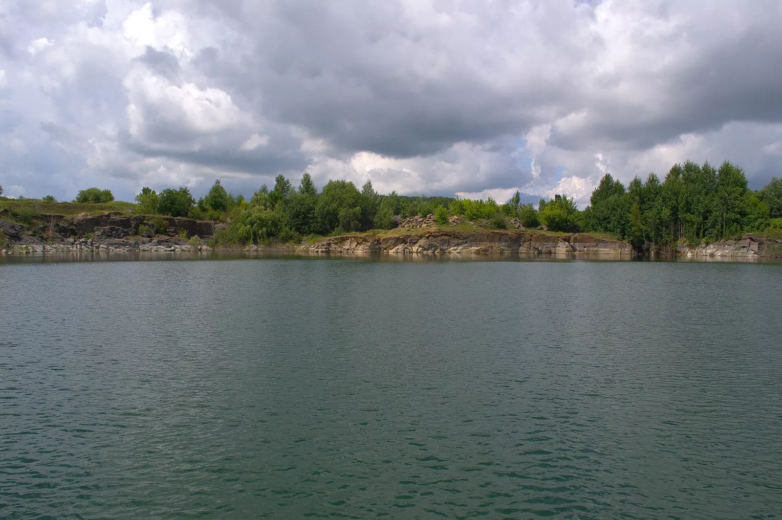
Zhytomyr region is one of the regions in Ukraine richest in stone: granites (red Lyznyky granite), labradorite from Holovyne that shimmers with blue light, quartzites, ilmenite, and brown coal. Hence dozens of flooded quarries with clear water that have become recreation spots. You can see the finest stone of the region at the Museum of Precious and Decorative Stone.
Video: "Rich Zhytomyr region: a Frenchman in a Ukrainian village, minerals, crazy landscapes", Khaschi channel.
The Chornobyl Trace
The 1986 Chornobyl Nuclear Power Plant accident heavily impacted the north of Zhytomyr Polissia: the lands of Narodychi, Korosten, and Ovruch suffered significant radioactive contamination. Some villages had to be evacuated, and nature is reclaiming its space there. In these places, follow the markers and rules, and do not pick mushrooms and berries in contaminated areas.
Video: "Zhytomyr region: market, radiation and wolves, abandoned villages, abandoned church, tunnel of love", Hashchi channel.
Cuisine and Mushrooms
Polissian cuisine of the Zhytomyr region primarily means deruny (potato pancakes): served with sour cream, mushrooms, and pork cracklings. Combine them with mushrooms (porcini, chanterelles, boletes), cranberries, blueberries, forest honey, and Polissian borsch. We covered where to go for mushrooms separately — mushrooms in the Zhytomyr region.
3-Day Itinerary
Day 1. Teteriv. Zhytomyr (Chatsky Head, Castle Hill), Denyshi with its cliffs and palace ruins, and in the evening — the Korostyshiv Canyon.
Day 2. Korosten and Ovruch. Drevlyansky Park and Chervona Hirka, lunch with deruny, followed by Stone Village and Ovruch with St. Basil's Church.
Day 3. Olevsk or Zviahel. Northern option — Olevsk, Ubort, and the landscapes around the Polissia Nature Reserve; western option — Zviahel with the Lesya Ukrainka Museum and Mezentsev Palace. In late May — make sure to visit the forests with blooming rhododendrons near Horodnytsia.
When to Visit
- April–May: high water on the Teteriv, blooming rhododendrons, birds singing.
- June–August: swimming in quarries and the Malyn "sea", blueberries.
- September–October: mushrooms, cranberries, golden cliffs of the Teteriv.
- Winter: snowy cliffs and quiet pine forests.
Practical Tips
- Border. The north of the region borders Belarus: restrictions on presence and movement apply in border hromadas; follow updates from the Oblast Military Administration and the State Border Guard Service.
- Quarries. Water in flooded quarries is deep and cold, banks are steep — swim with caution and do not jump from cliffs in unfamiliar spots.
- Nature Reserves. Visits are allowed only by arrangement with the administration and along permitted routes.
- Chornobyl Zone. In the north of Narodychi and Ovruch hromadas, follow the markers and do not gather forest products in contaminated areas.
Conclusion
Zhytomyr Polissia is the stone heart of Polissia. Here, granite breaks through to the water in cliffs, forests smell of rhododendrons, and every town remembers Drevlyans, princes, and poets. Come for the cliffs and canyons — and stay for the deruny, mushrooms, and silence of the Polissian pine forests.
Read also about neighboring regions: "Volyn Polissia", "Rivne Polissia", "Polish Polissia", and "Belarusian Polissia", and find all locations in the Zhytomyr region in our guidebook.